First Jedediah Smith Trail 1822 — 1824
Day 19: September 3rd, 2009 Custer — Gillette
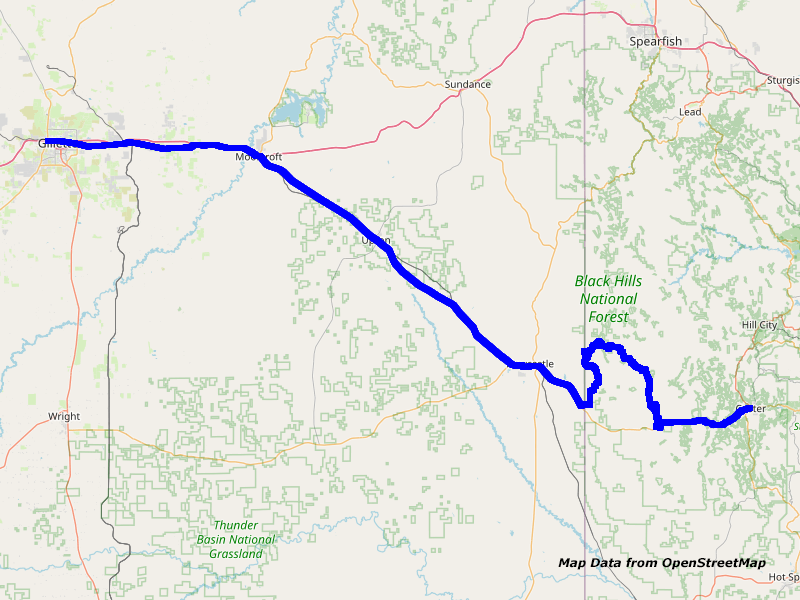
Map Custer to Gillette
Around half past three in the morning I wake up and at least my headaches are gone. But instead, I am now not able to fall asleep anymore. Sometime around five I am sleeping. But around half past six I already wake up again. I get myself ready and while I am taking my shower and think about my tour of today I realize, that Jedediah pretty sure had not taken the route I originally planned. He walked the Hell canyon directly to the north. It doesn’t make sense to start hiking south first.
Therefore I must rework my planned tour at the Laptop after taking my shower. Due to lack of time, I can now only travel on bigger forest roads. However, I am still able to leave around nine in the morning. The employee says good–bye and see you next time — well, someday for sure!
Because the breakfast at Baker’s Cafe was excellent last time, I also drive over to this place today. This time, my nice server is not there. But Mom is really taking good care of me. My coffee pot never really runs dry! And the meal size is huge. I am hardly able to eat everything.
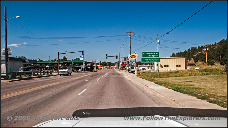
Highway 16A/89/385/Mt Rushmore Rd, Custer, SD
Around ten I am finally ready to roll. Again, I drive over to the Conoco. While I am cleaning my windows an elderly guy pulls in and is obviously pretty much overstrained on how to work the pump. He has no credit card and must pay cash and is not able to walk anymore. He is a World War II Veteran, was wounded twice and earned the Purple Heart. Well, if he would know that his former enemy is helping him out…
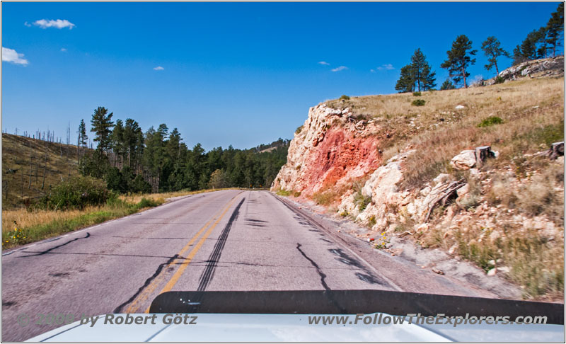
Highway 16, SD
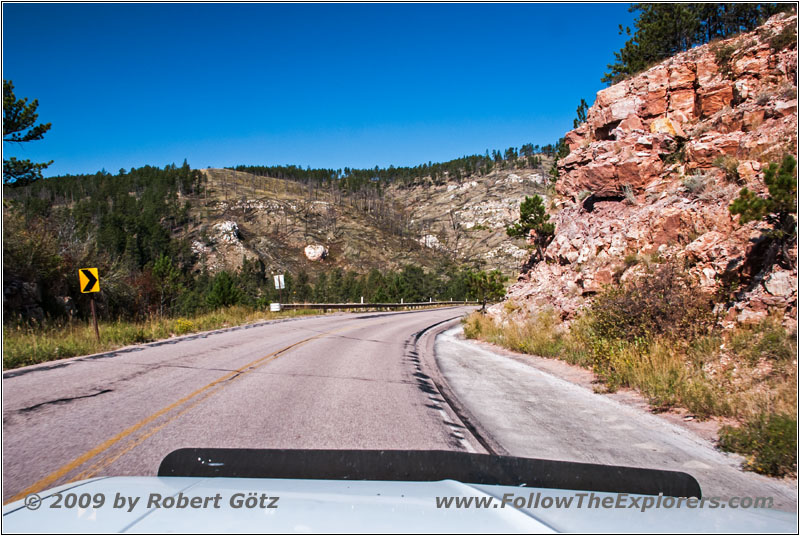
Highway 16, SD
I assist him in operating the pump and get the cashier for payment. Then I leave. First I pass Jewel Cave on my way to Hell Canyon and the trailhead.
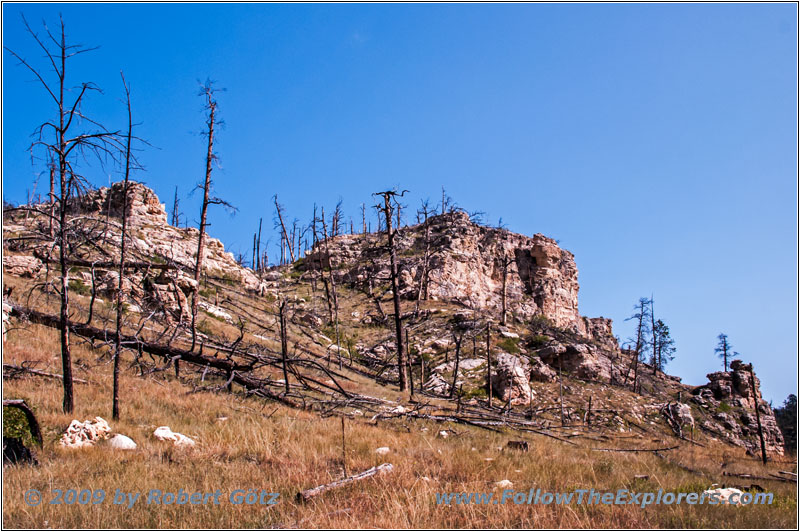
Hell Canyon Trail, SD

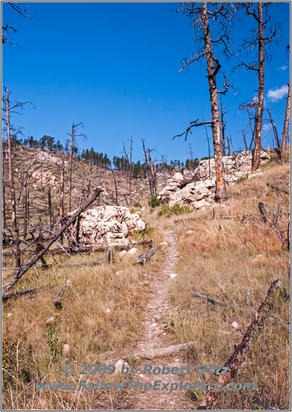
Hell Canyon Trail, SD
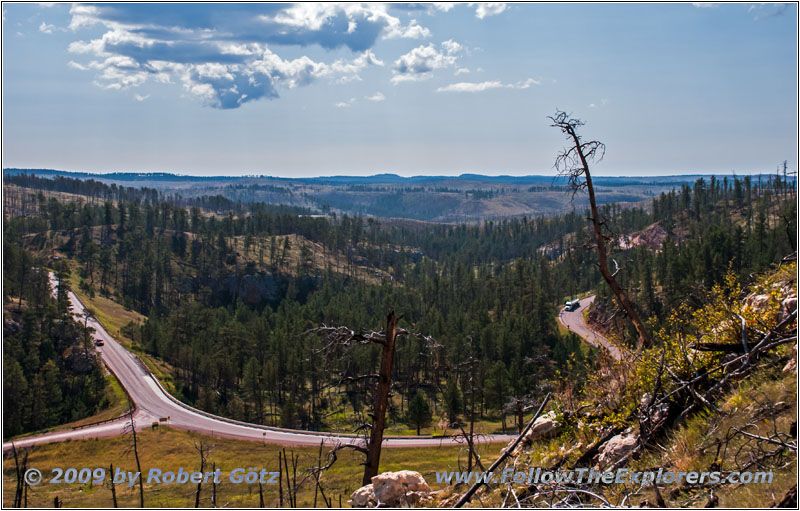
Hell Canyon Trail, SD

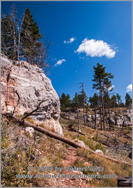
Hell Canyon Trail, SD
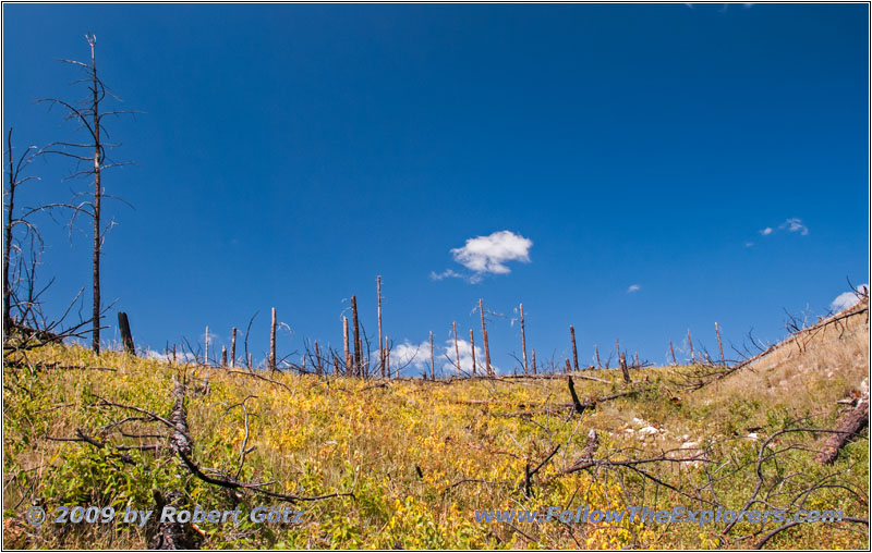
Hell Canyon Trail, SD

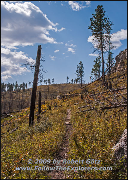
Hell Canyon Trail, SD
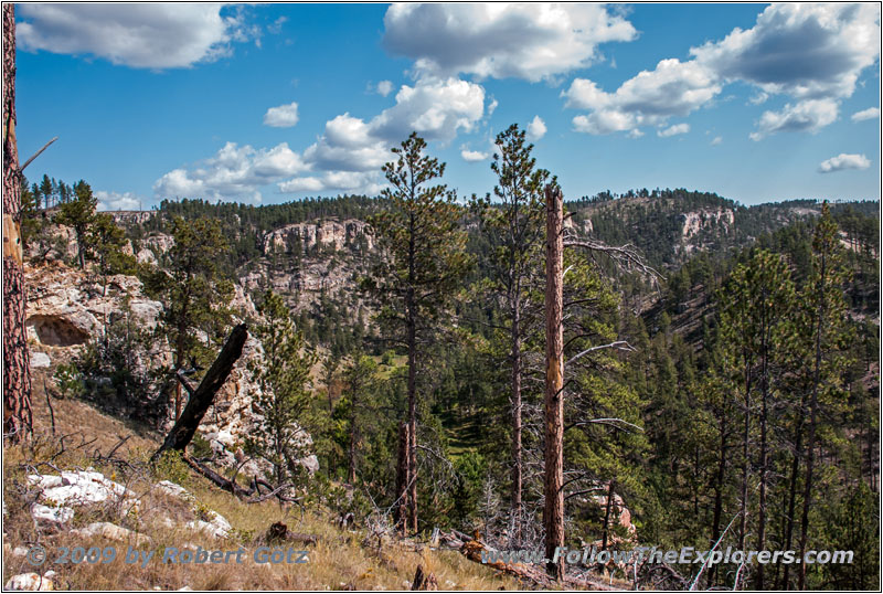
Hell Canyon Trail, SD
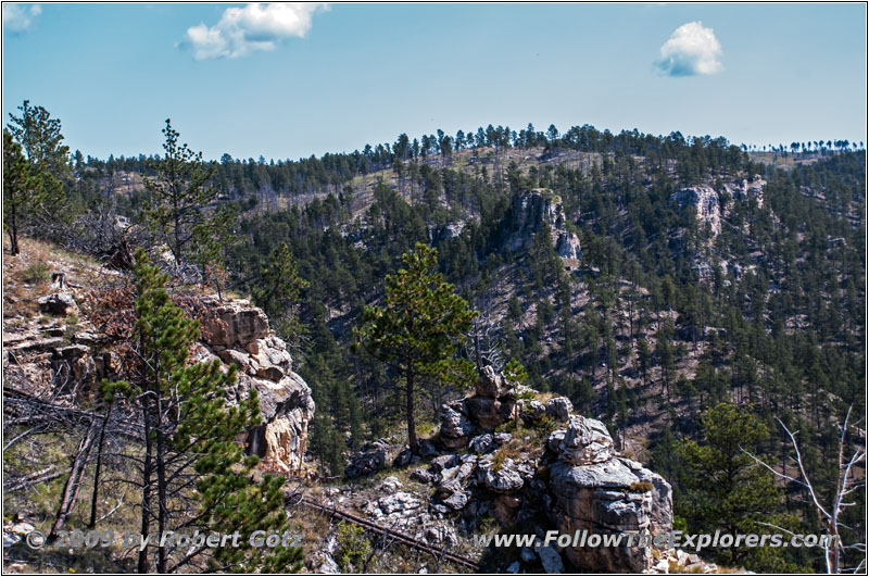
Hell Canyon Trail, SD
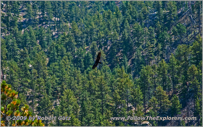
Eagle, Hell Canyon Trail, SD

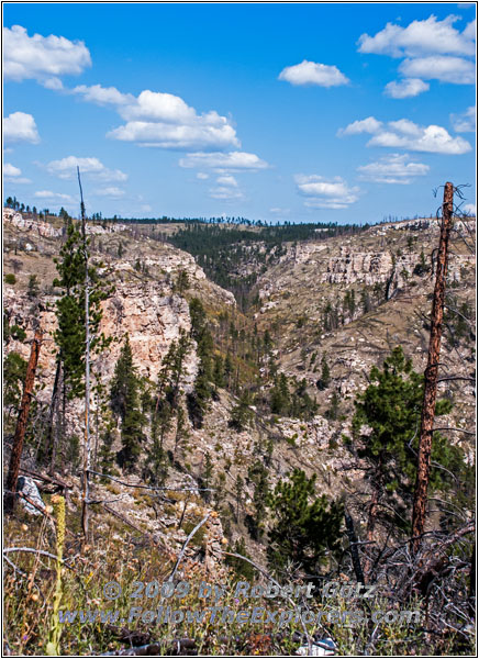
Hell Canyon Trail, SD

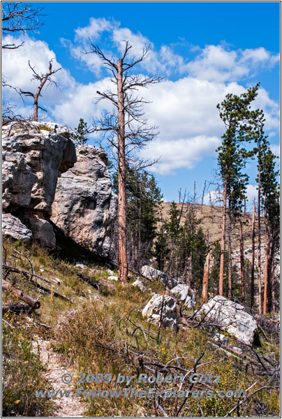
Hell Canyon Trail, SD
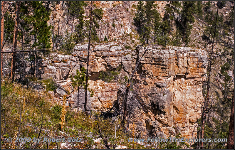
Hell Canyon Trail, SD

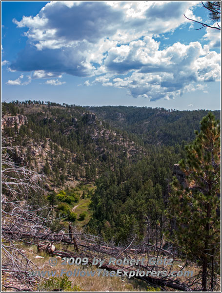
Hell Canyon Trail, SD
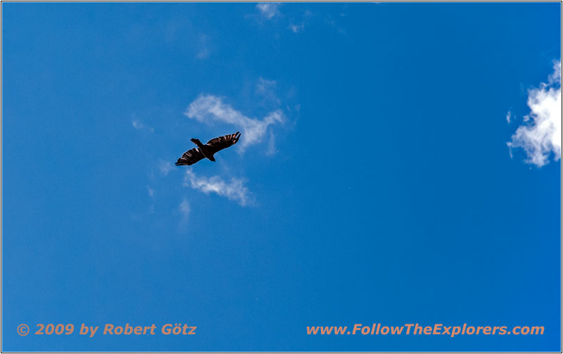
Eagle, Hell Canyon Trail, SD
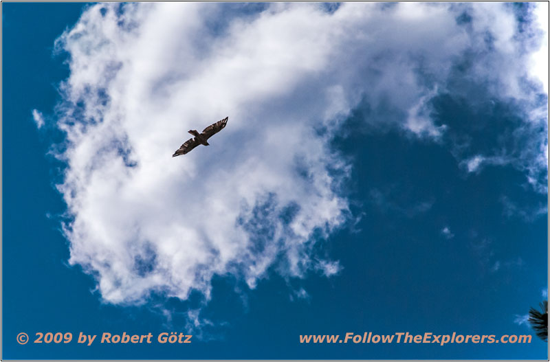
Eagle, Hell Canyon Trail, SD
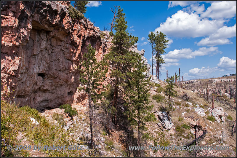
Hell Canyon Trail, SD

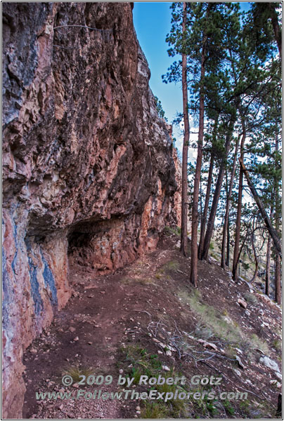
Hell Canyon Trail, SD
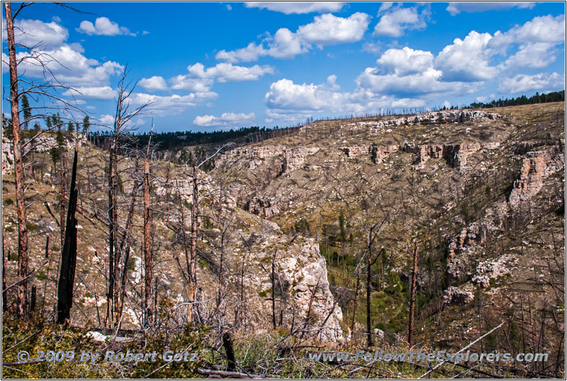
Hell Canyon Trail, SD

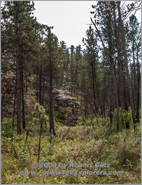
Hell Canyon Trail, SD
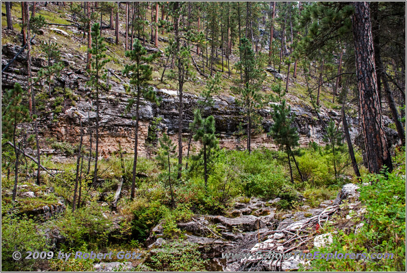
Hell Canyon Trail, SD
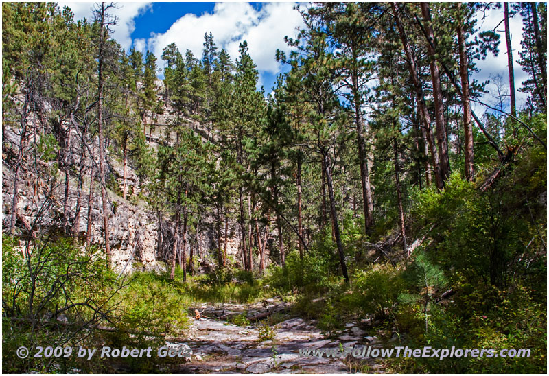
Hell Canyon Trail, SD
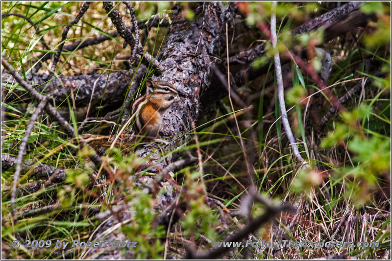
Squirrel, Hell Canyon Trail, SD

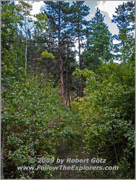
Hell Canyon Trail, SD
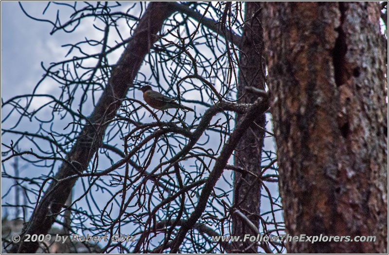
Bird, Hell Canyon Trail, SD

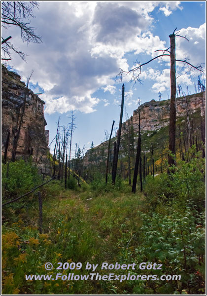
Hell Canyon Trail, SD

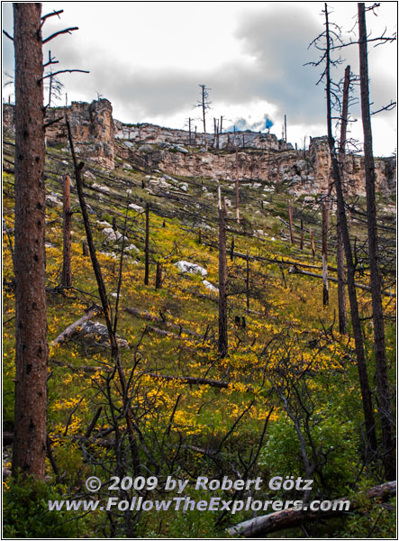
Hell Canyon Trail, SD

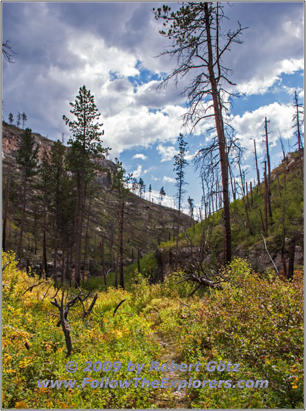
Hell Canyon Trail, SD
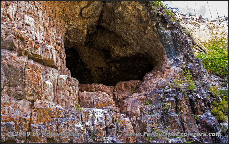
Hell Canyon Trail, SD

Hell Canyon Trail, SD

Hell Canyon Trail, SD
Hell Canyon Trail, SD
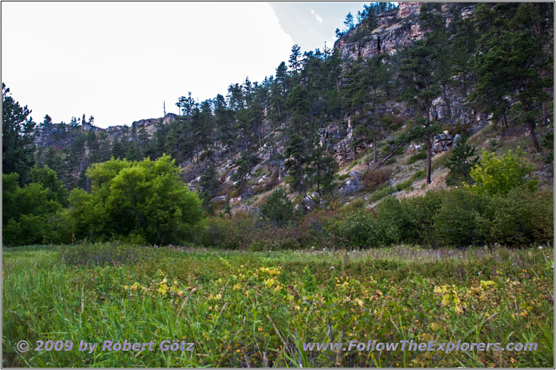
Hell Canyon Trail, SD

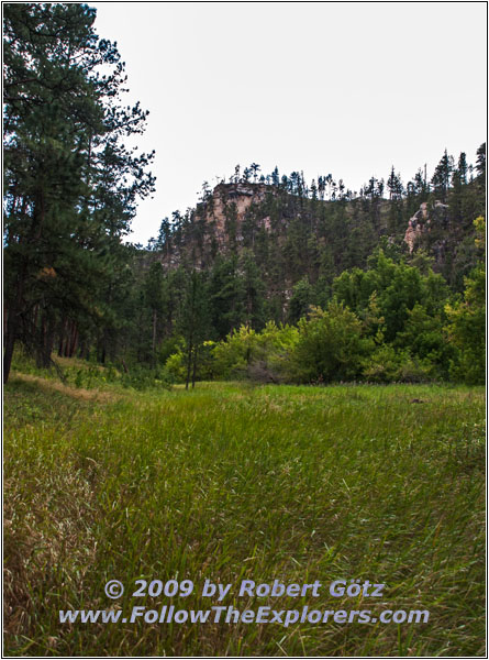
Hell Canyon Trail, SD

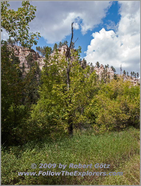
Hell Canyon Trail, SD

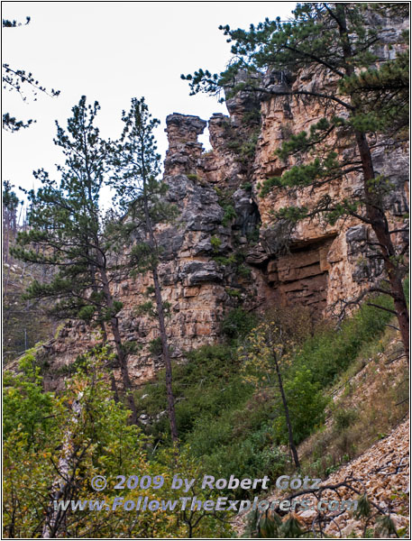
Hell Canyon Trail, SD

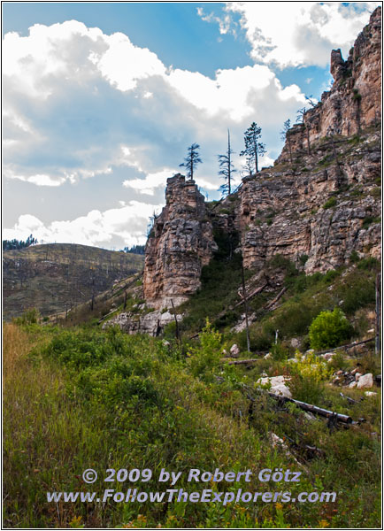
Hell Canyon Trail, SD
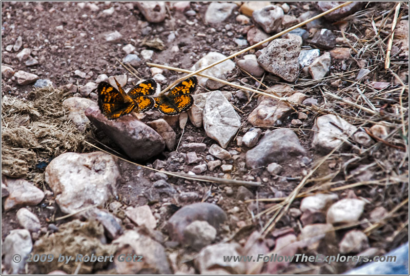
Butterfly, Hell Canyon Trail, SD

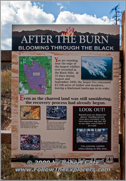
Hell Canyon Trail, SD
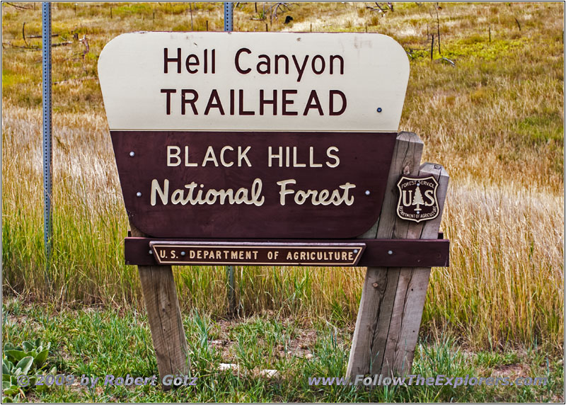
Hell Canyon Trail, SD
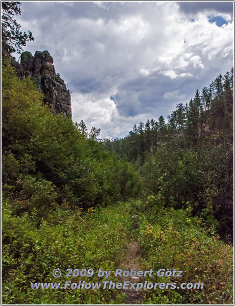
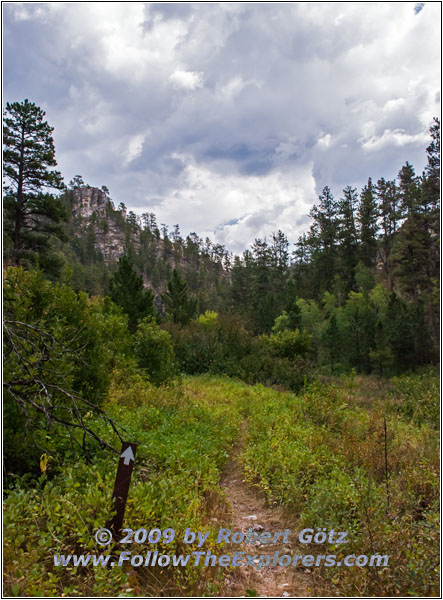
I get myself ready and read on the sign that the whole trail is about 5.4 miles and you should plan 2–4 hours for the whole trail. Well, let’s see how far I will go. I start in the direction where I first hike along the upper ridge. From there I should have a better view into the canyon.
The beginning is a pretty steep rise. But then you hike almost level at the ridge along the canyon. There are now many opportunities for taking nice pictures and video taping. One time, an eagle flies by in not more than 100 yards distance. He just flies up the ridge at the same moment when I walk around the corner. Unfortunately, I am not able to set up my tripod fast enough and get my camera out for a big shot of this bird. But I am still able to get some nice snapshots on my camera.
Then I hike on. The sun is burning down pretty relentless. Just past eleven I left and around half past twelve it comes to my mind that I have forgotten to put sunscreen on — and I already feel the tension on my skin. This doesn’t feel good. But it also doesn’t make sense to turn around now. I am already burned and it still takes a while until I am back at my car. First I think about if I should hike the whole trail. But I always say to myself: Only just to the next corner…
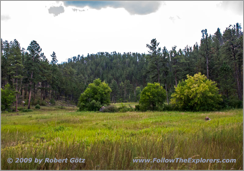
Well, and suddenly the trail goes down into the canyon. It seems like I have already reached the end of this trail and now the trail runs back down in the canyon valley. There you can really tell that not many people are hiking this trail because it is so much grown over. And I am covered again by seed capsules who have barbed hooks and work like hook–and–loop fasteners. It is really hard to remove them from clothing or my camera bag.
Then I continue in the valley to my car. The clouds are slowly getting darker and I am glad that I am no longer hiking as exposed as before along the ridge. But I arrive dry at my car. There I take the time for a brief lunch break.
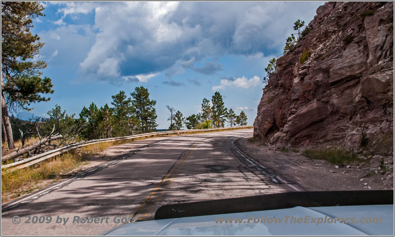
Highway 16, SD
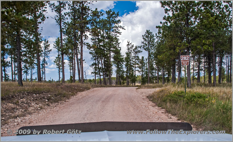
FR282/Mud Springs Rd, SD
Then I drive on. I follow my new route to Antelope Ridge.
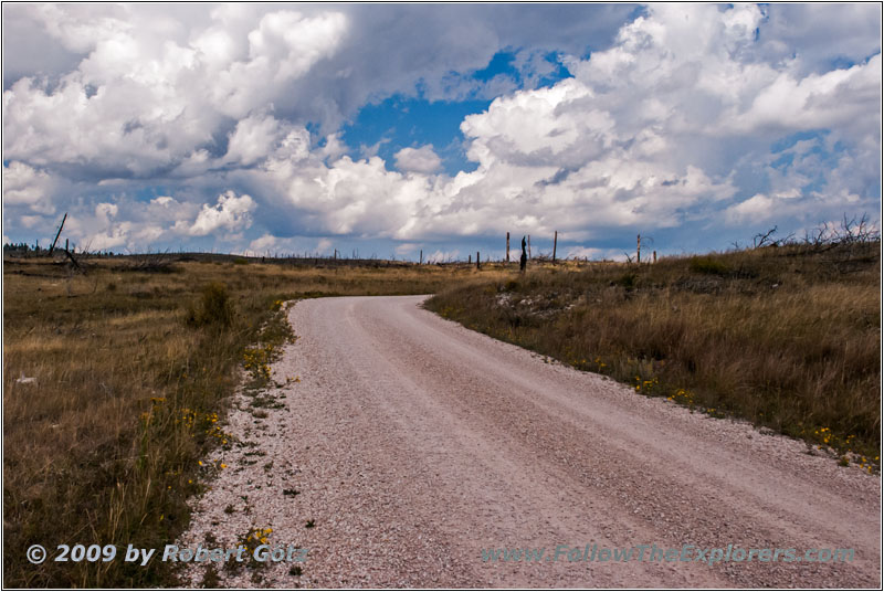
FR282/Mud Springs Rd, SD
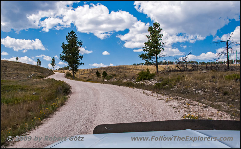
FR282/Mud Springs Rd, SD
From there I have the chance to take a short 4WD Trail into Hell Canyon.
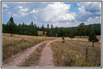
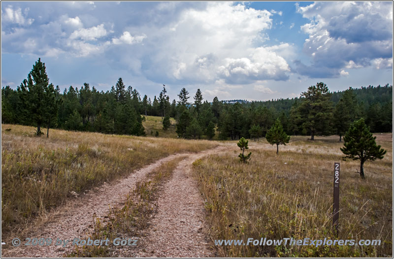
FR282 1C, Hell Canyon, SD
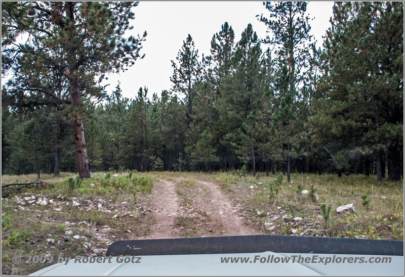
FR282 1C, Hell Canyon, SD
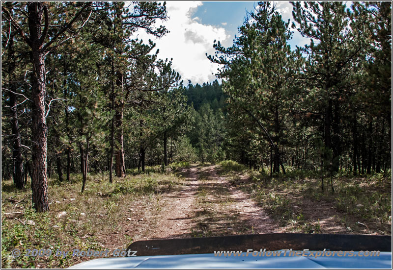
FR282 1C, Hell Canyon, SD
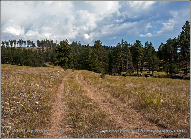
FR282 1C, Hell Canyon, SD
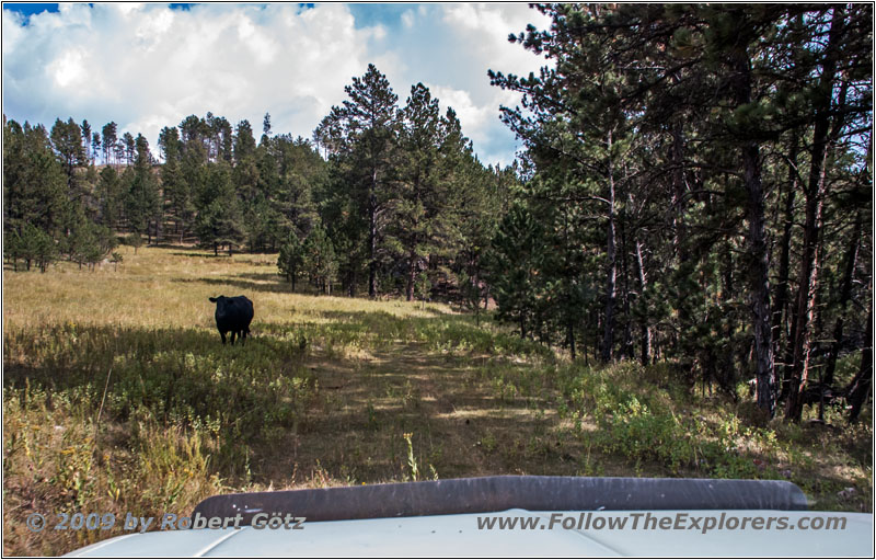
Cow, FR282 1C, Hell Canyon, SD
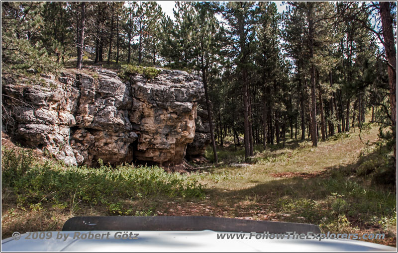
FR282 1C, Hell Canyon, SD
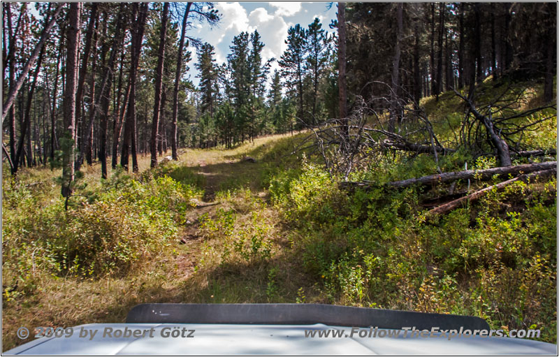
FR282 1C, Hell Canyon, SD
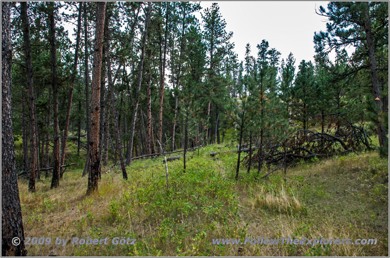
FR282 1C, Hell Canyon, SD
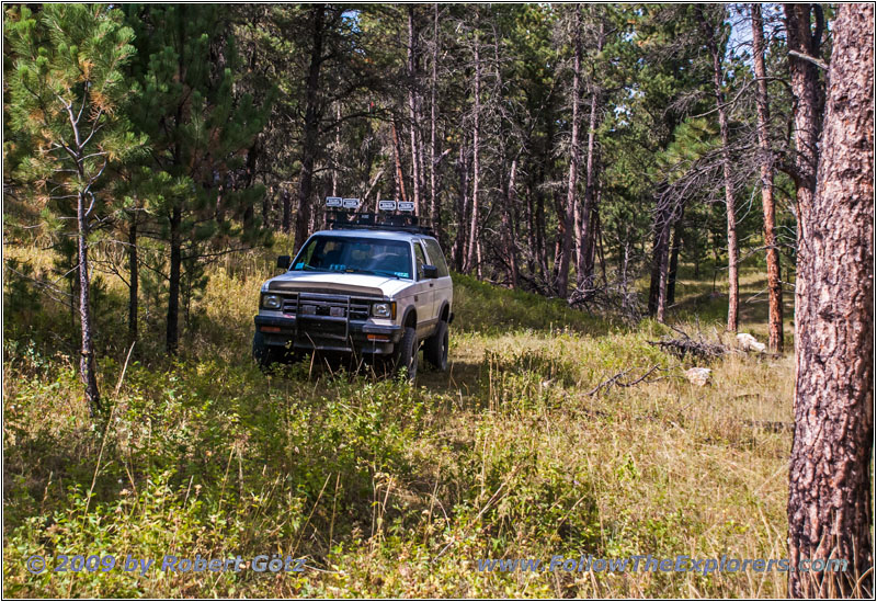
88 S10 Blazer, FR282 1C, Hell Canyon, SD
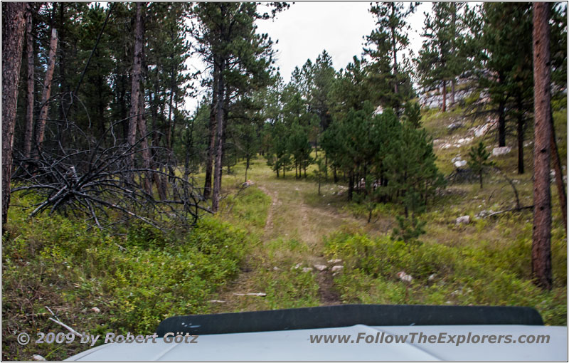
FR282 1C, Hell Canyon, SD
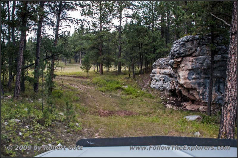
FR282 1C, Hell Canyon, SD
Sure I follow this one to the very end. Jedediah probably also climbed up to the ridge in this area. Then I drive back to FR282.
Then I continue on FR283.
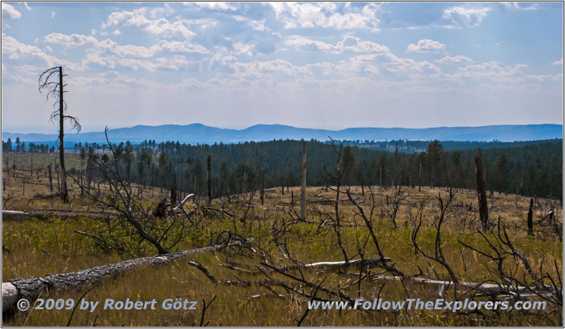
FR283/Antelope Ridge Rd, SD
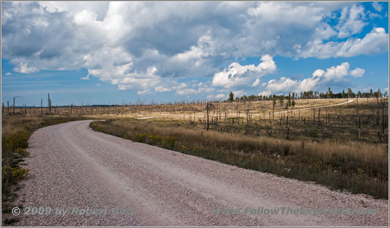
FR283/Antelope Ridge Rd, SD
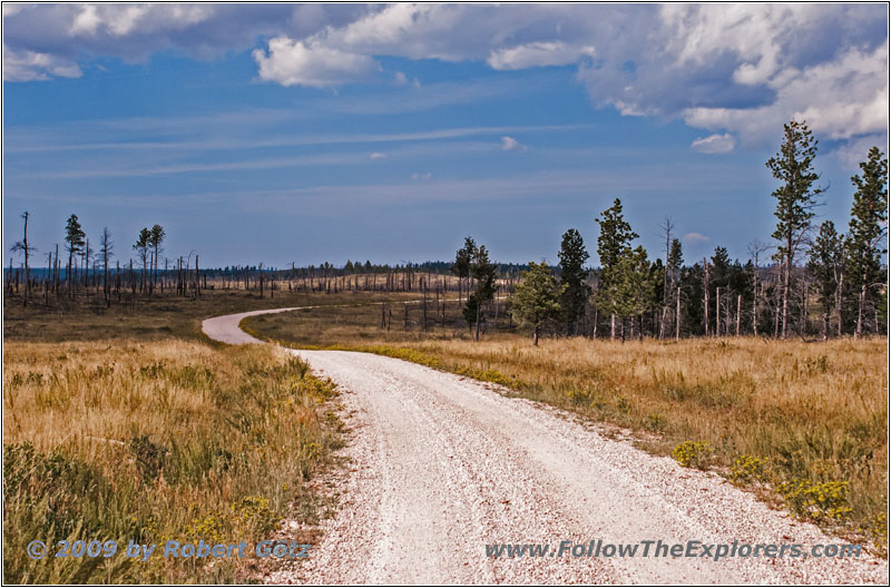
FR283/Antelope Ridge Rd, SD
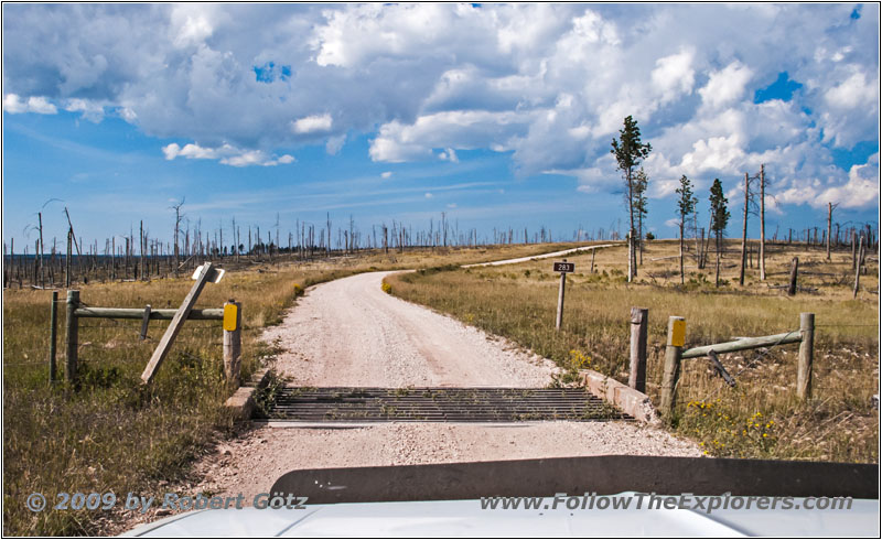
FR283/Antelope Ridge Rd, SD
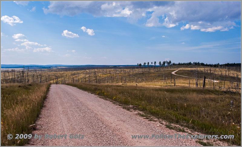
FR283/Antelope Ridge Rd, SD
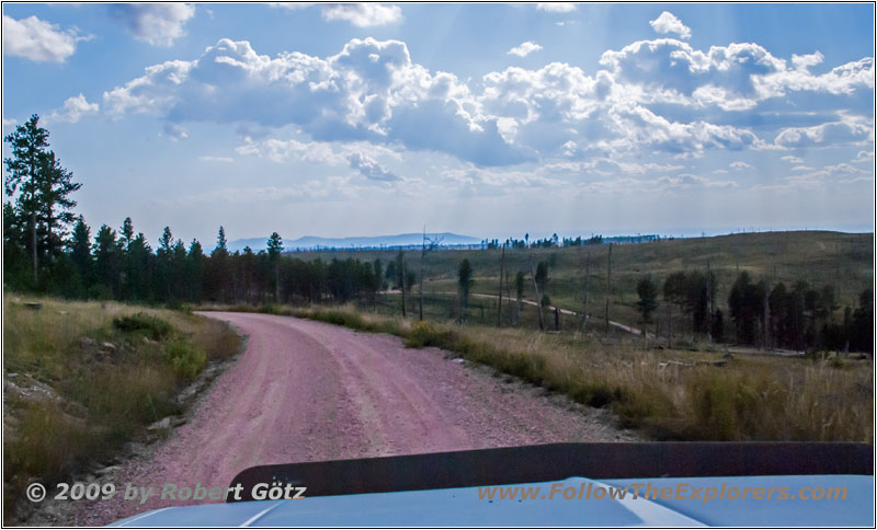
FR283/Antelope Ridge Rd, SD
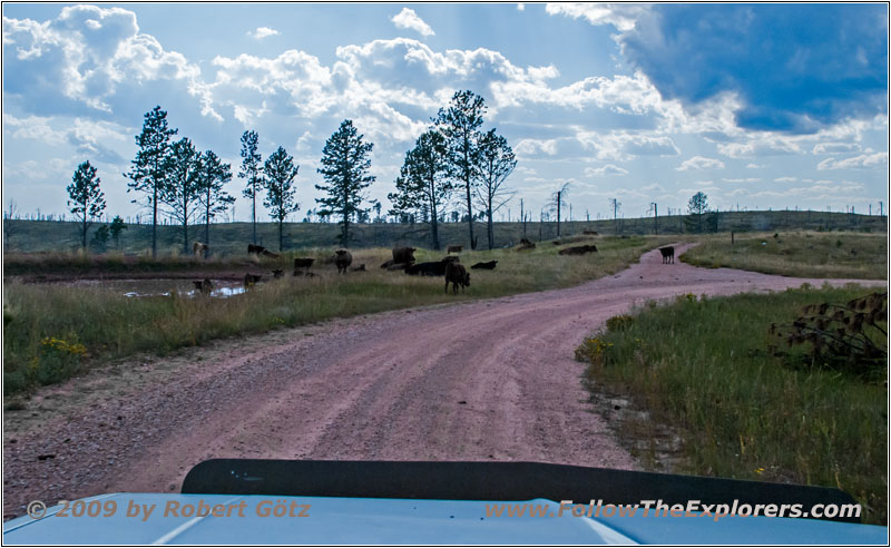
FR283/Antelope Ridge Rd, SD
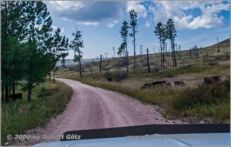
FR283/Antelope Ridge Rd, SD
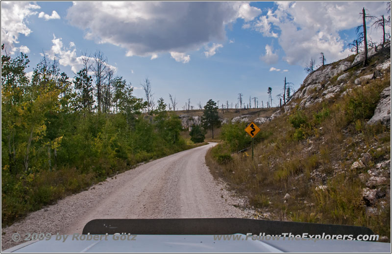
FR283/Antelope Ridge Rd, SD
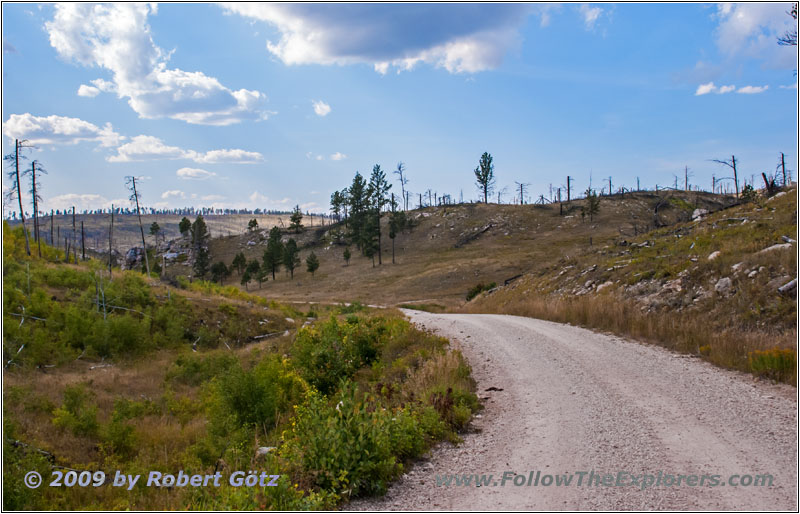
FR283/Antelope Ridge Rd, SD
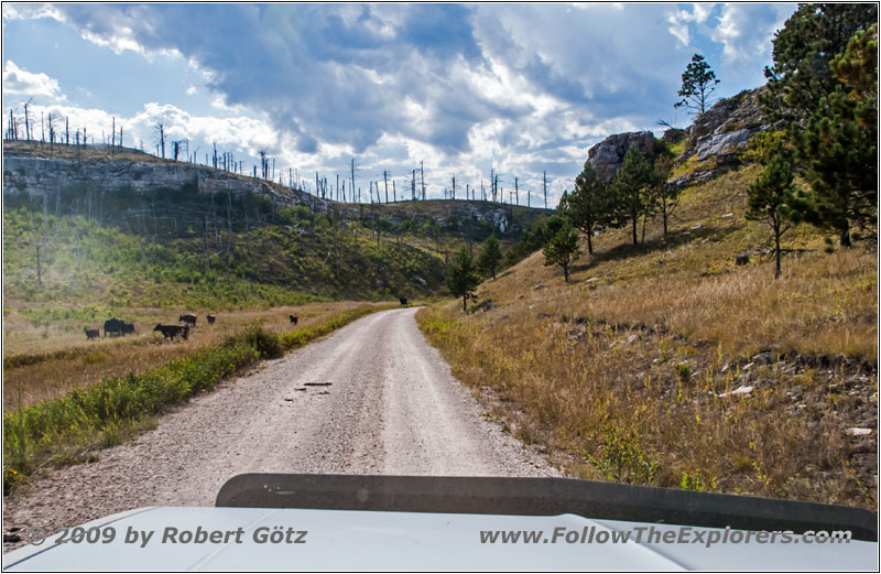
Cattle, FR283/Antelope Ridge Rd, SD
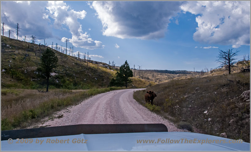
Cattle, FR283/Antelope Ridge Rd, SD
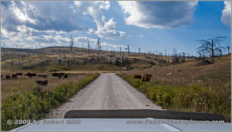
Cattle, FR283/Antelope Ridge Rd, SD
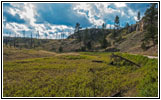
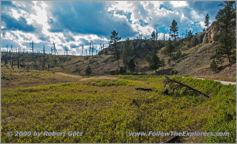
FR283/Antelope Ridge Rd, SD
This is now the Antelope Ridge Road.
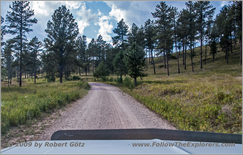
FR284/Custer Limestone Rd, SD
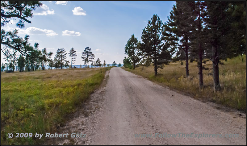
FR284/Custer Limestone Rd, SD
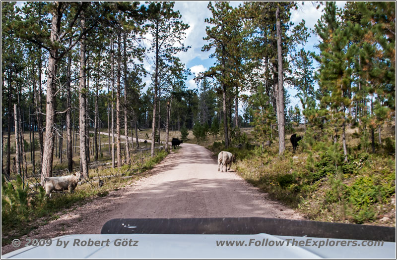
FR284/Custer Limestone Rd, SD
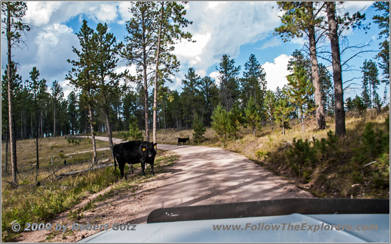
Cattle, FR284/Custer Limestone Rd, SD
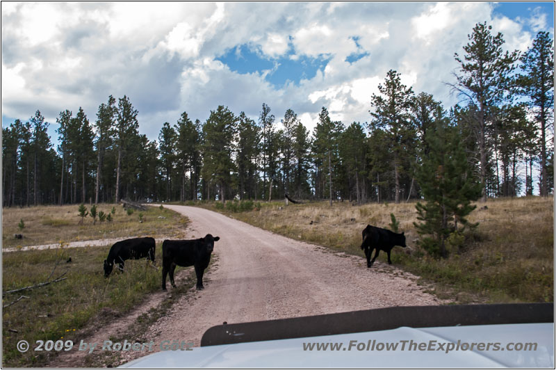
Cattle, FR284/Custer Limestone Rd, SD
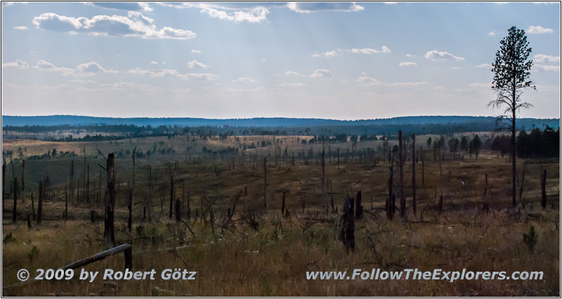
FR284/Custer Limestone Rd, SD
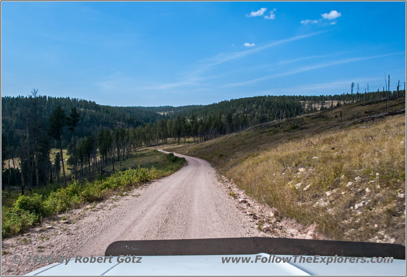
FR284/Custer Limestone Rd, SD
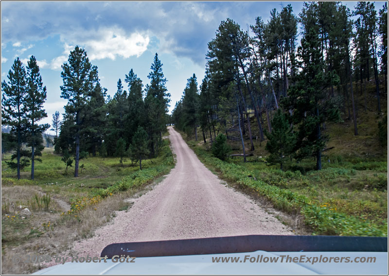
FR284/Custer Limestone Rd, SD
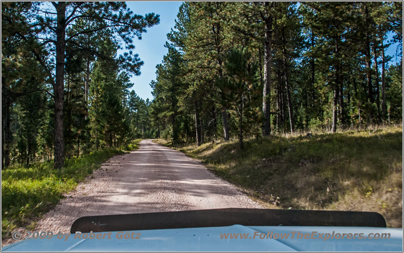
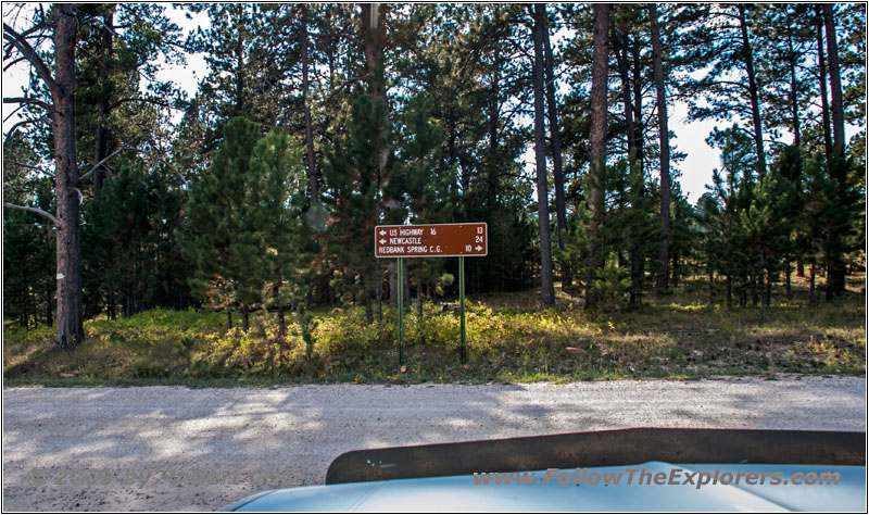
Next I follow FR284 which is also called Custer Limestone Road.
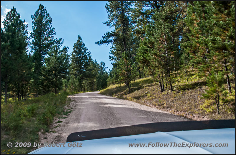
FR284/Custer Limestone Rd, SD
FR284/Custer Limestone Rd, SD
FR284/Custer Limestone Rd, SD
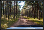
From there I continue on FR117, Boles Canyon Road.
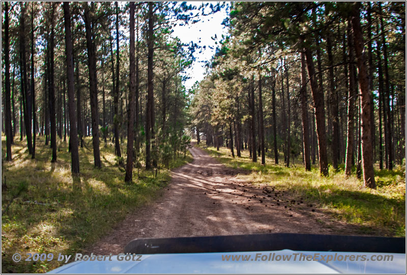
FR265 1H, SD
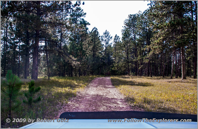
FR265 1H, SD
FR265 1H, SD
FR265 1H, SD
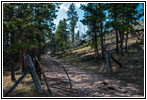
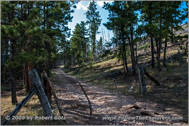
FR265 1H, State Line SD and WY
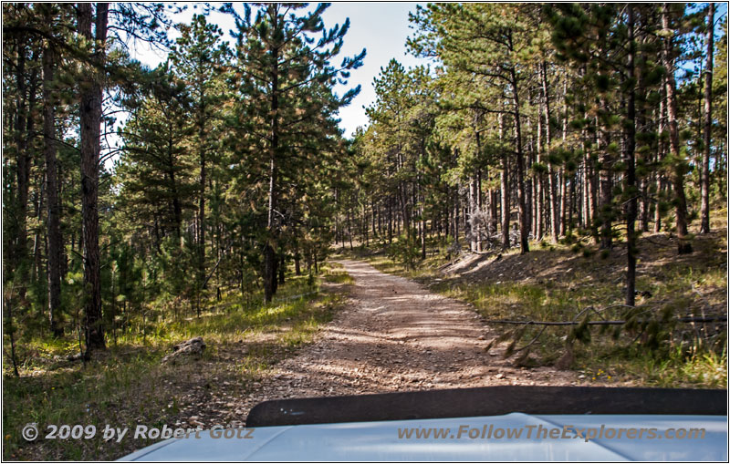
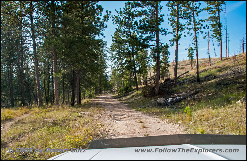
Finally I arrive at FR265. From there a small 4WD Trail (FR265 1H) should take me to Wyoming. But a closed gate stops me. Indeed, there is no Private Property or No Trespassing sign. But I am not sure if it is really allowed to proceed here. All in all, the park area ends here. Therefore I drive back and try my luck on FR265.
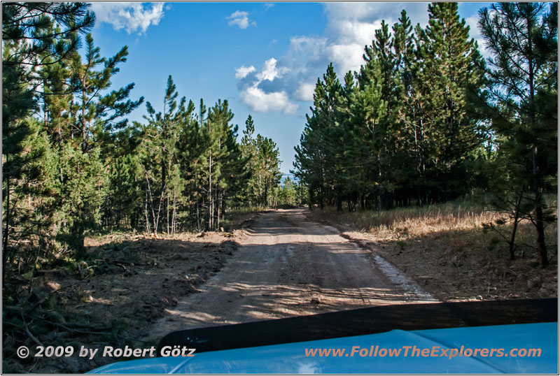
FR117 4A, SD
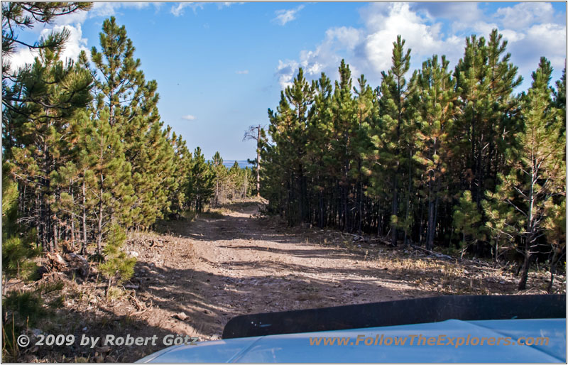
FR117 4A, SD
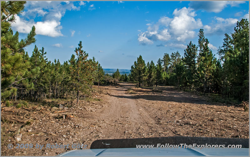
FR117 4A, SD
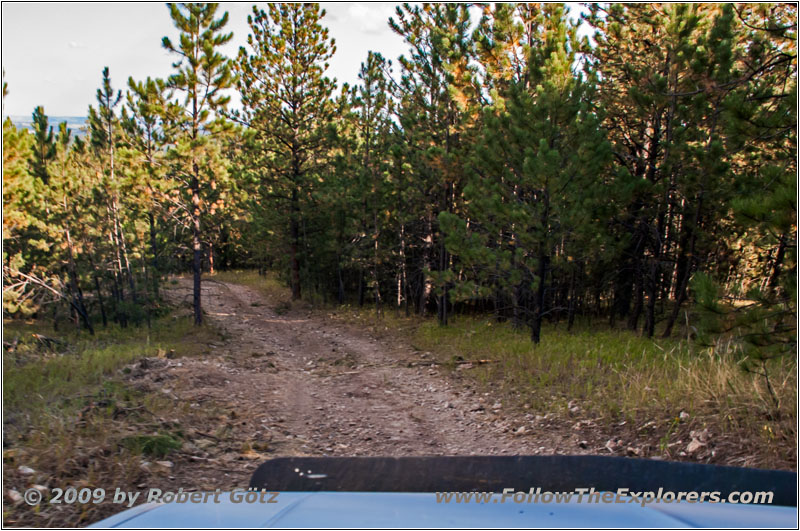
FR117 4A, SD
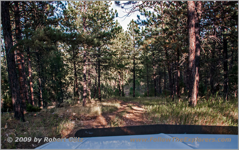
FR117 4A, SD
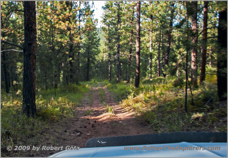
FR117 4A, SD
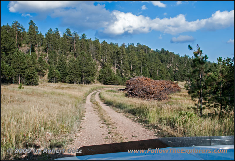
FR117 4A, SD

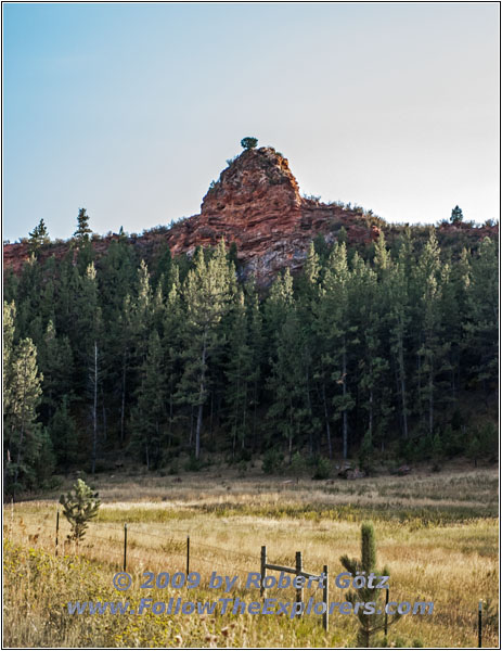
FR117/Boles Canyon Rd, SD
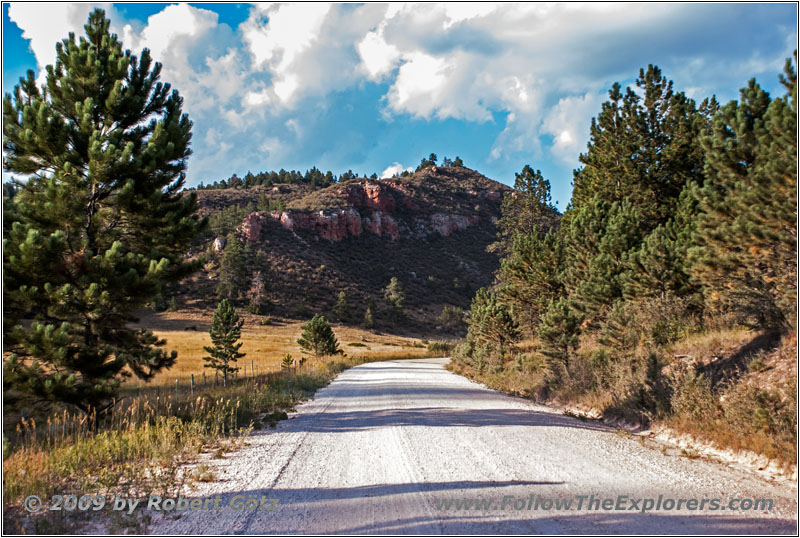
But here they reshaped the roads by collecting timber so dramatically that I get lost and end up at a pretty tough 4WD Trail. Downhill I once again need my first gear and the low range. I still hope that this is still a driveable road and that it will not end somewhere in nowhere and to be forced to drive everything back!
FR117/Boles Canyon Rd, SD
FR117/Boles Canyon Rd, SD
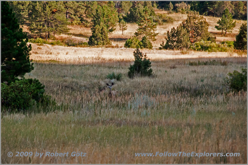
Deer, FR117/Boles Canyon Rd, SD
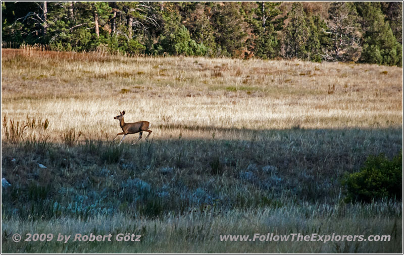
Deer, FR117/Boles Canyon Rd, SD
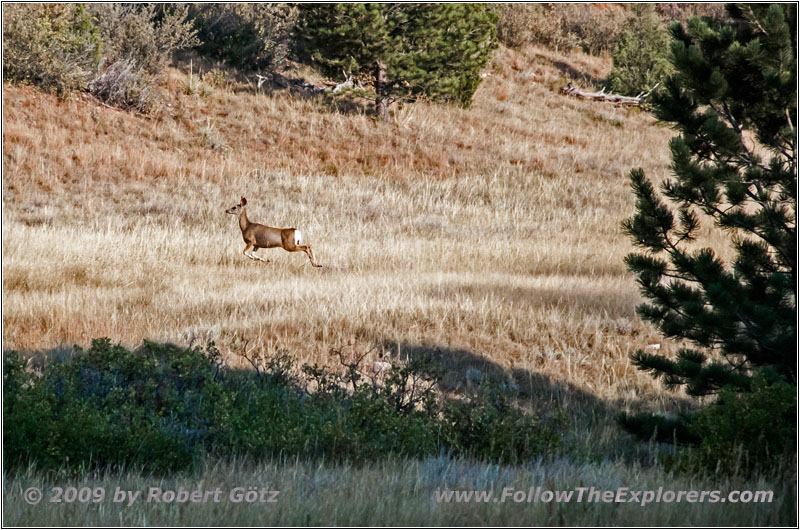
Deer, FR117/Boles Canyon Rd, SD
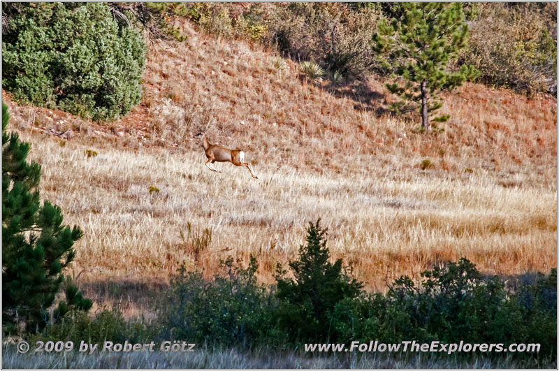
Deer, FR117/Boles Canyon Rd, SD
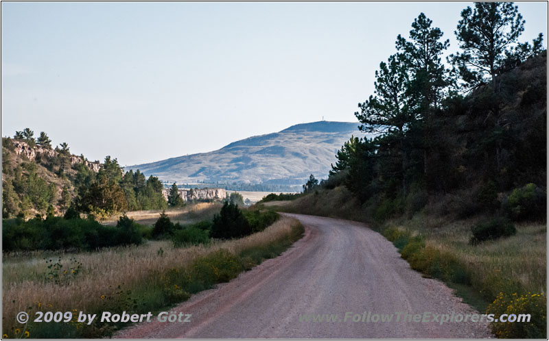
FR117/Boles Canyon Rd, SD
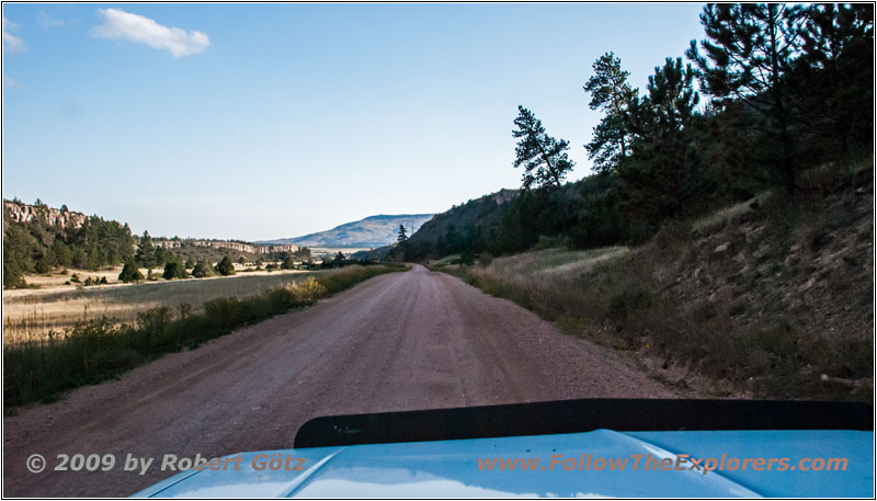
FR117/Boles Canyon Rd, SD
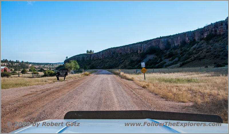
FR117/Boles Canyon Rd, SD
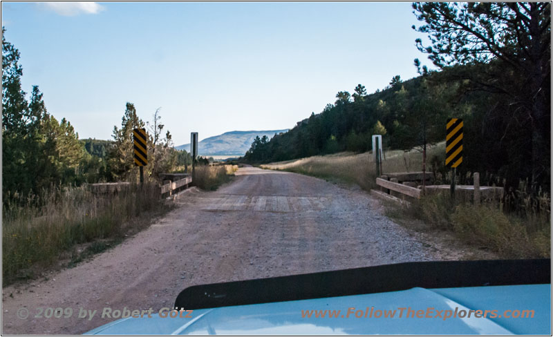
Slowly I am running out of time! But I am able to reach FR117 without any damage. There I realize that I have been ending up on FR117 4A and that this road should not run all the way up! It seems I have been driven on a no longer maintained part of the road. Well, it definitely looked like this! I am once again more than happy to have my lift kit installed. Otherwise it could have been getting tight…
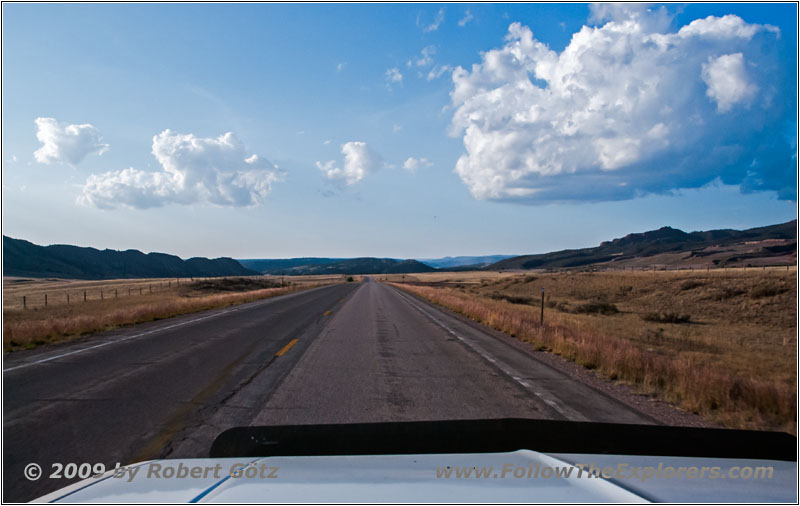
Highway 16, WY
On FR117 I reach Wyoming and sure miss again to video tape it. Because it is now slowly getting really late, I continue on CR24 and then Highway 16.
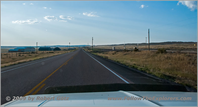
Highway 16, WY
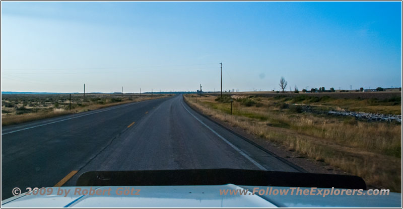
Highway 16, WY
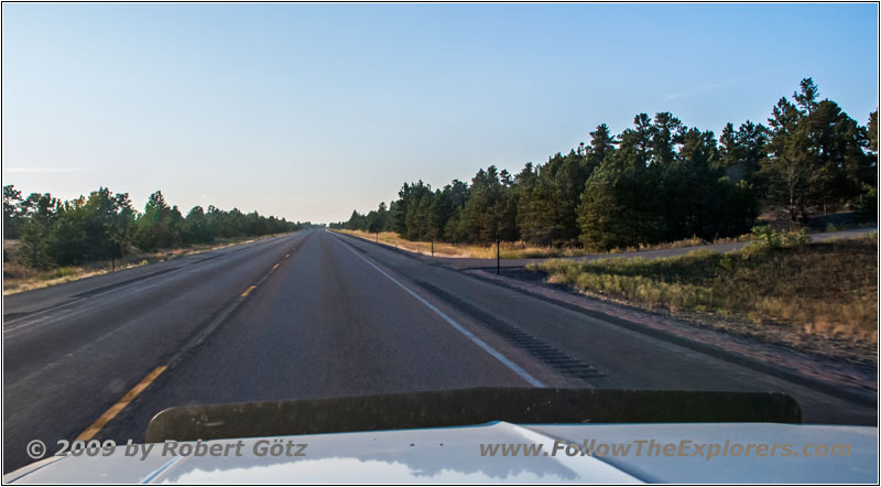
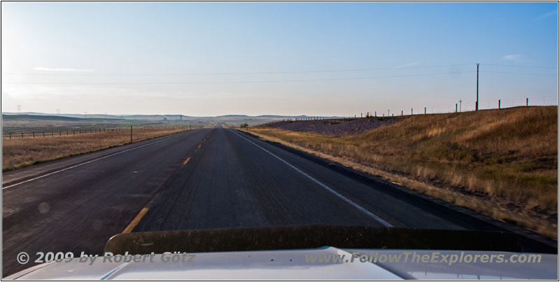
On this highway I drive north in direction of I–90. Jedediah probably also followed roughly this course.
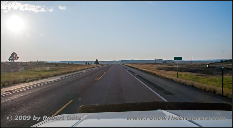
Highway 16, WY
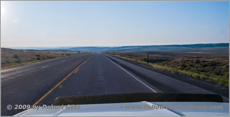
Highway 16, WY
Highway 16, WY
Highway 16, WY
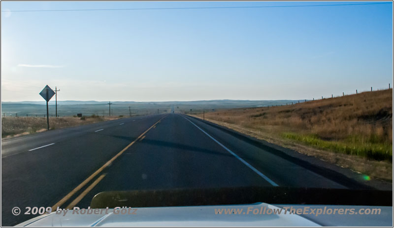
Highway 16, WY
Next I drive through Upton.
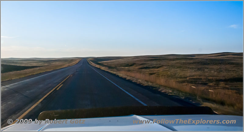
Highway 16, WY
Finally I reach Moorcroft. There I don’t take the Interstate but follow now Highway 51.
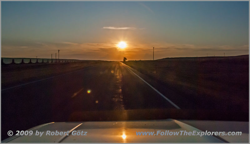
Sunset, Highway 51, WY
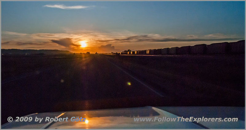
Sunset, Highway 51, WY
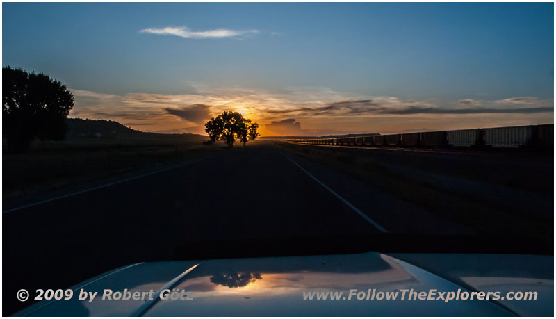
Sunset, Highway 51, WY
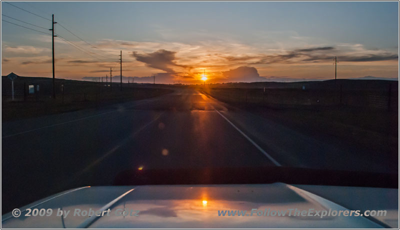
Sunset, Highway 51, WY
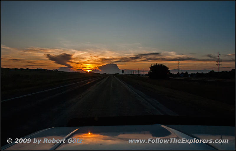
Sunset, Highway 51, WY
In the meantime the sun is very low and I have full backlight.
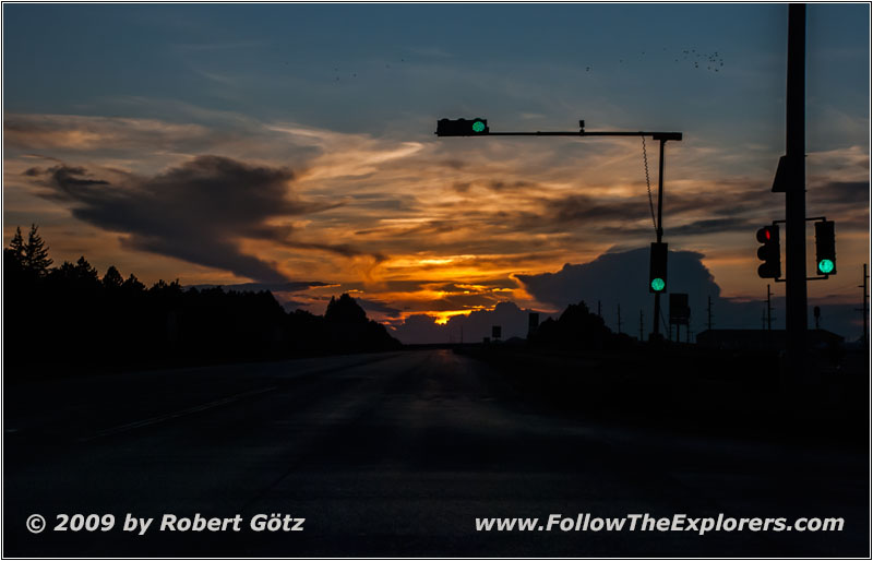
Sunset, Highway 51/E 2nd St, Gillette, WY
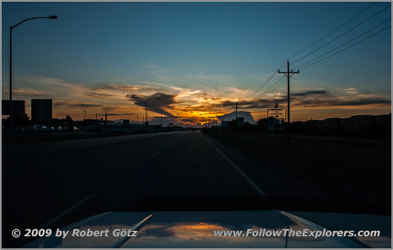
Sunset, Highway 51/E 2nd St, Gillette, WY
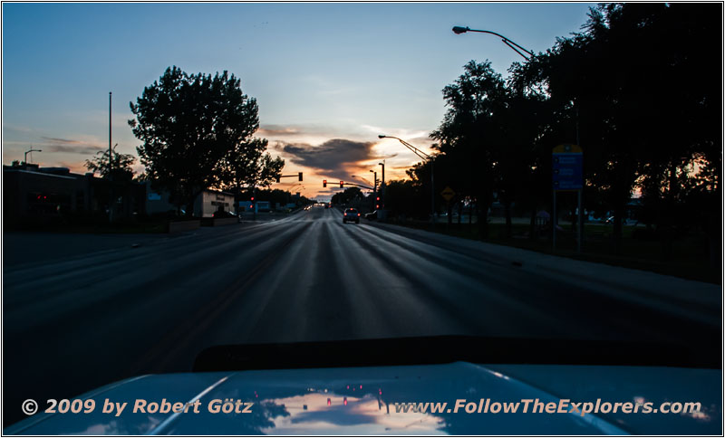
Sunset, Highway 51/E 2nd St, Gillette, WY
My software told me that I would arrive past eight in the evening. But I am able to gain a couple of minutes and arrive around a quarter to eight at the Super 8. Originally I had planned to stay at the Motel 6. But I have no Internet there and due to the oncoming Labor Day Weekend I must do all my reservations.
I quickly put my stuff into the room. Then I search through my old records where I have been here for dinner the last time. There was no reasonable restaurant to find in my software. I try Windows Search and I am only giving it words. This doesn’t find anything! Even while having this silly indexing! Now I really wish to have my Unix Grep function. This would have cost me not more than 10 seconds to figure out where I have been there for dinner. But now I must open every single year in Notepad and search it manually.
In 2006 I am able to find it, on my Wilson Price Hunt Trail. Back then I have been in “The Chop House”. This is the place where I will also go today. I am not able to find the restaurant in my DeLorme map, but I store the coordinates of the address in my GPS. Then I leave. The restaurant is still exactly like three years ago. And the food is good and expensive. I choose a pepper steak, which is really huge. I am almost exploding when I leave the restaurant around a quarter to ten.
Back in the motel I quickly prepare a coffee. Then I suddenly need again the restroom. Sorry about that steak…
But my room is the handicapped room with a chair in the bathroom which is originally meant for using in the shower. But this one also makes a perfect table for my laptop. Now I am able to work at the laptop and sort my last pictures while doing the big business. Yesterday I only copied the pictures due to my headaches.
Then I write my diary, do the bookkeeping and finally download the pictures of today. Because it is now already half past twelve I decide to work on nothing more now. Seems like the videos are starting to pile up. But they must wait and I don’t care for the moment.
Aside from that, I will sleep again with my ear plugs today. Next to my room is the ice machine. Then we have a stampede in the room above and another hearing–impaired who turns the television to maximum level. If I want to catch some sleep, I must go with the ear plugs…
- Sights
- Hell Canyon
- General
- Breakfast: Baker’s Cafe, Custer
- Dinner: The Chop House, Gillette
- Motel: Super 8, Gillette
- Distance: 149 miles
