Robert Stuart Trail 1812 — 1813
Day 19: August 30th, 2007 Pocatello — Montpelier
I have breakfast today again at Denny’s. But this time the service is worse than ever. Another server has pity with me and takes care of the coffee and the bill. This is something I haven’t seen for a long time. Pretty much annoyed I drive over to the next gas station.
Then I planned the visit of the Standrod House and Old Fort Hall. But even after searching around for a very long time I am not able to find these two spots. Somehow the positions in my map must be completely wrong, because I didn’t even see signs in the city to point me roughly in the right direction.
Therefore I decide to skip these visits and continue my travel along the Portneuf River, which Stuart was now following.
The progress on these small roads is pretty good and I arrive at McCammon.
On Price Road I cross the Portneuf River and reach the bigger Highway 30.
This highway is also know as the “Old Oregon Trail Road” in this area. I continue to follow this highway east.
I pass Lava Hot Springs and turn onto the smaller Fish Creek Road.
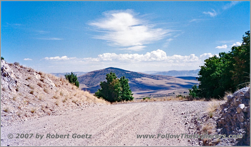
Fish Creek Rd, ID
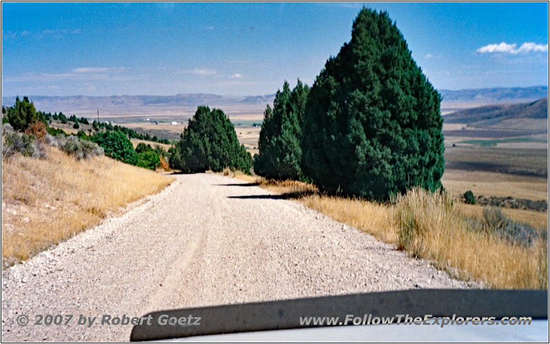
Fish Creek Rd, ID
After a short drive this road turns into gravel again and I have some real nice views. Like yesterday, I take plenty of pictures. But when my 36 picture film roll suddenly arrives at 40 I am getting perplexed. Does my camera has already trouble again with the film transportation?!
Because I am on a small backroad it is easy to find a safe spot to check this out. And indeed, the last 40 pictures have been taken on the same film roll position! The roll is still at the beginning! What a huge disappointment! All my pictures from Massacre Rocks State Park, the Snake River and the pictures from today are gone! Lucky me, I have at least my video taping!
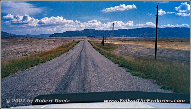
Central Rd, ID
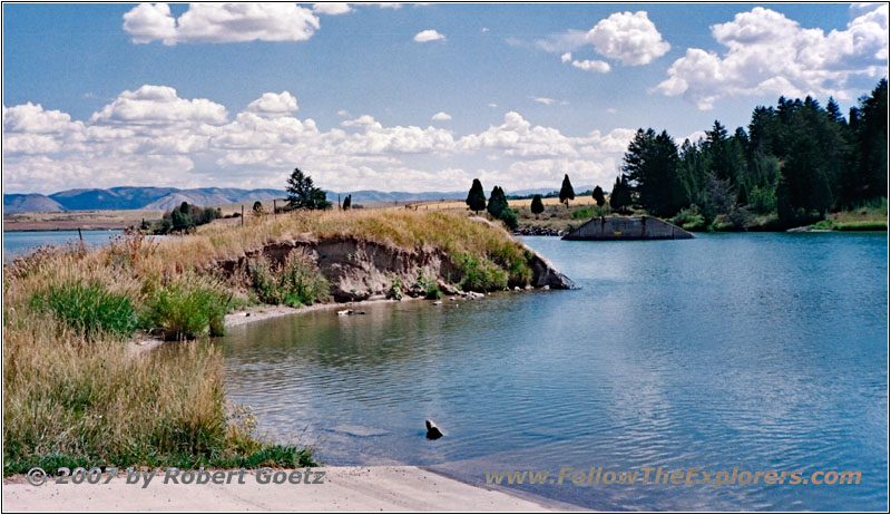
2nd Bridge Rd, Alexander Reservoir, ID
Because some private property locks me out once again, I must return to the bigger Highway 30, which unites here with Highway 34. Then I am able to continue again on my backroads until I arrive at a spot where once was a bridge — now you can only see some remnants of what was this bridge. So I must turn around once again and drive back to the highway.
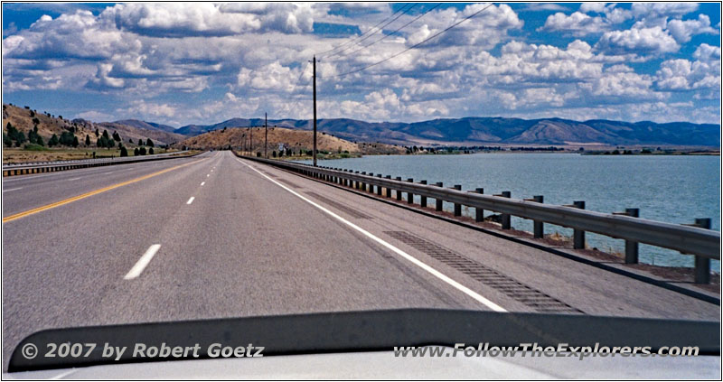
Highway 30, Alexander Reservoir, ID
On this highway I continue to follow the Alexander Reservoir to Soda Springs.
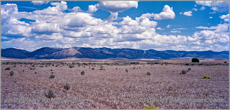
Bailey Creek, ID
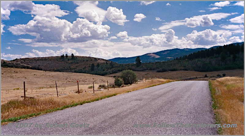
Nounan Rd/Eight Mile Creek Rd, ID
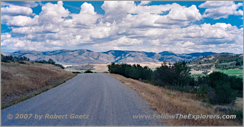
Nounan Rd/Eight Mile Creek Rd, ID
There, once again private property locks me out and I must look for another route around. Finally I am on Bailey Creek and Eight Mile Creek Road.
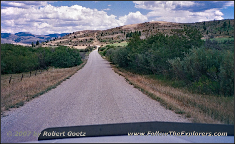
Nounan Rd, ID
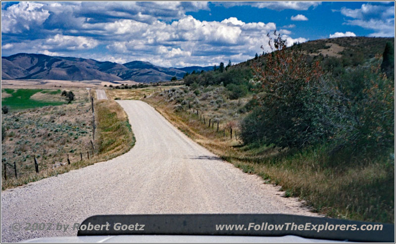
Nounan Rd, ID
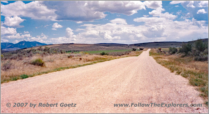
Nounan Rd, ID
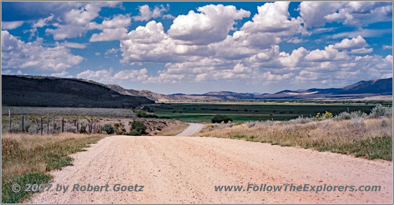
Nounan Rd, ID
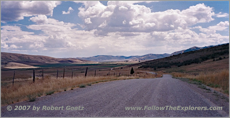
Nounan Rd, ID
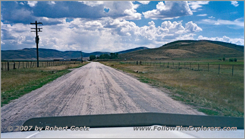
Nounan Rd, ID
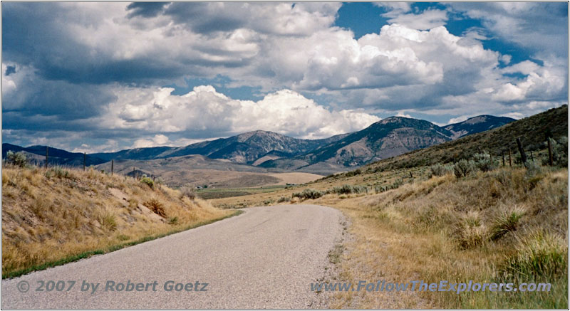
Nounan Rd, ID
But also here I am not able to take the turn I planned. Therefore I stay on Nounan Road, which also takes me to my planned backroads.
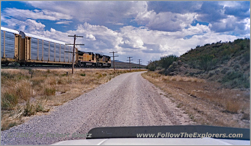
Lower Bern Rd/Pescadero Rd, ID
Then I continue on Lower Bern and Pescadero Road.
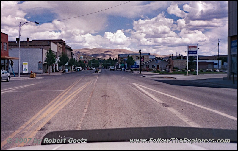
Highway 89/Washington St, Montpelier, ID
Along Bear River I drive on Highway 89 to Montpelier. There I arrive at my destination of today, the Super 8 motel. Already at 3pm I am able to check in. Immediately I ask for a nice dinner restaurant. Unfortunately there is not really a big choice of restaurants. The only one, which he would recommend, is the Montpelier Grill, just two blocks down the road. There I can really walk to!
Then I put my stuff into the room. Because I am still very good in time I decide to check out some of the unknown offroad trails, which I planned to drive tomorrow. These run southeast of Montpelier over the so–called “Big Hills”, where the old wagon treks used to run over.
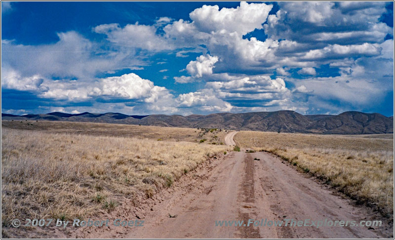
Backroad, Big Hills, ID
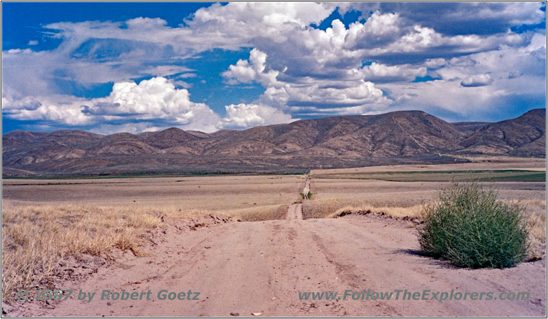
Backroad, Big Hills, ID
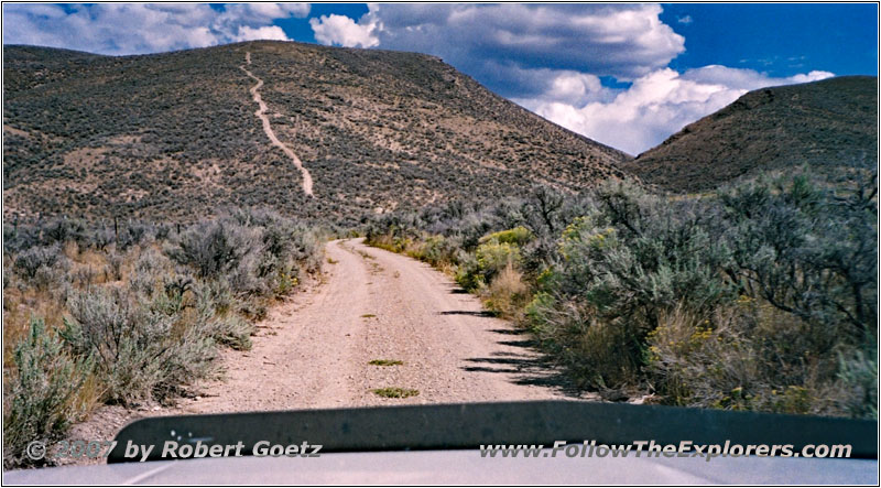
Backroad, Big Hills, ID
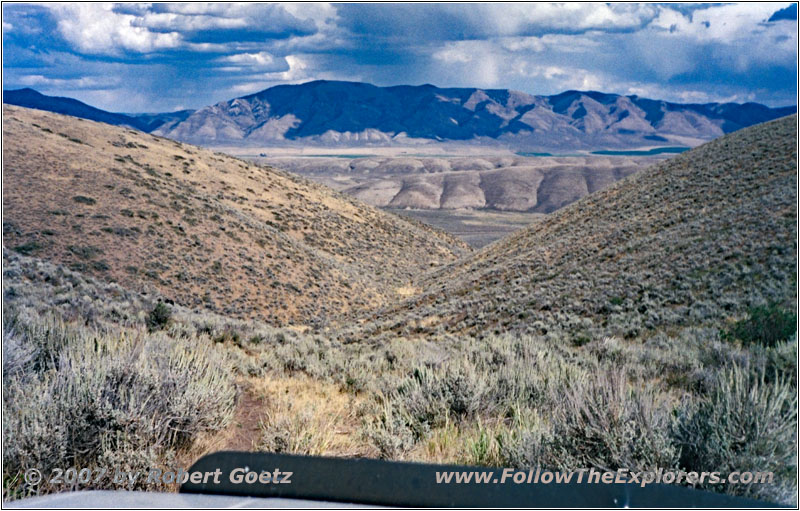
Backroad, Big Hills, ID
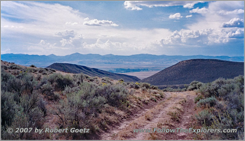
Backroad, Big Hills, ID
As I must soon discover, they bear the name correctly. Unfortunately my planned roads are closed and I travel on alternative roads, which are not even in my map. According to this situation is the condition of these “roads”. Sometimes I must really drive through bushes, sometimes even tilting more than 20 degrees along the hillside. Now I am only driving by GPS directions, where I additionally store the last crossings to find my way back in case I am forced to turn around.
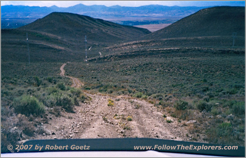
Backroad, Big Hills, ID
Finally I decide for this step to turn around, because I see no chance to reach my originally planned exit point. And the roads are really getting extreme with deep washouts, deep holes and rocks in my way. There the risk is getting too high that something will happen, especially as time is approaching 5pm…
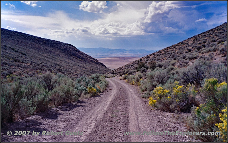
Backroad, Big Hills, ID
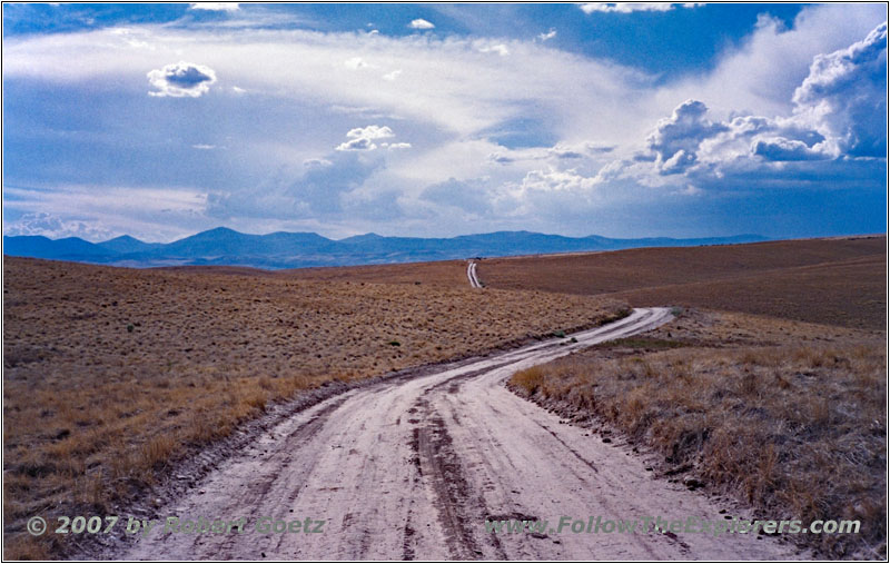
Backroad, Big Hills, ID
Also some dangerous rain clouds are starting to show up. If the rain will start around here I have good chances, that I will get stuck for the night. So I turn around and struggle my way back over all the already passed obstacles on this rough road. I am glad when I have nice gravel again under my wheels after this ride!
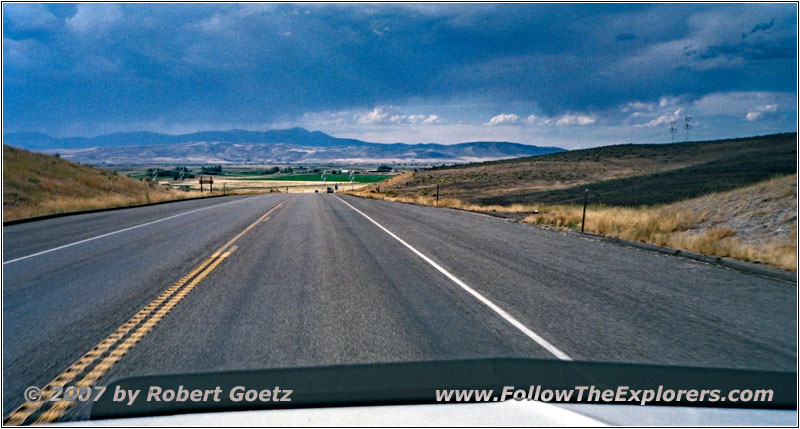
Highway 30, ID
Around 5pm I arrive at my motel safely. First I check the video taping of today. Just before 8pm I leave for the Montpelier Grill. The restaurant has a real cozy interior with huge wooden tables, all looks like a lumber style. Unfortunately they don’t have many tables and I must take a seat at the bar. The food is okay and around a quarter to nine I pay and walk back to my motel.
There I must also pass the only other restaurant, which has breakfast — but which was not recommended to me. Also when I pass it, it does not look very promising. Looks like I will have breakfast at the motel tomorrow…
It has pleasantly cooled down outside after having around 95 degrees on the road today. Around nine I am back in my room and finish my book keeping, enter the next GPS coordinates and listen to my last CDs, which I have bought in Pennsylvania.
- Sights
- Big Hills
- General
- Breakfast: Denny’s, Chubbuck/Pocatello
- Dinner: Montpelier Grill, Montpelier
- Motel: Super 8, Montpelier
- Distance: 164 miles
