John Colter Trail 1807 — 1808
Day 12: August 25th, 2005 Omaha — Wagner
Breakfast is today at the Village Inn. Then I drive over to the Shell gas station at 132nd Street. Plus is there cheaper than Regular, because they add 10 percent Ethanol here. I can use this kind of gas, but my mileage will decrease.
On Highway 275 I drive back to Highway 75 in northern direction.
Then I continue along the Missouri River west banks up to the region of Sioux City. There I turn onto Highway 20.
In the area of Willis I continue on Highway 12.
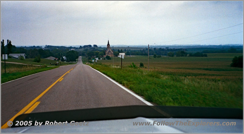
Highway 14H, St. Helena, NE
On Highway 14H I reach St. Helena. This village has a real remarkable church in an old building style. A little bit further down the road, a road construction blocks my direct way to Yankton. Now I am forced to circle around a bit until I reach Highway 81 north, which takes me to the city of Yankton.
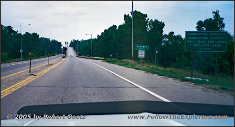
Highway 81, Missouri River, Yankton, State Line NE and SD
The Missouri River crossing here fascinated me already six years ago, because the bridge is built in the old style with a lot of iron. Additionally this bridge has lanes on top of each other, one in every direction. When I arrive in Yankton I continue on Highway 52.
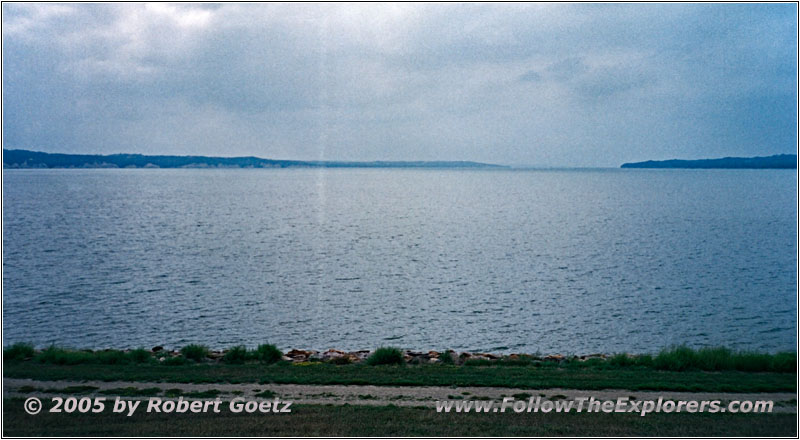
Crest Rd, Gravis Point Dam, Lewis and Clark Lake, SD
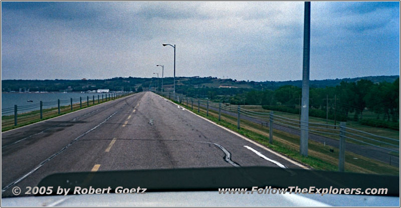
Crest Rd, Gravis Point Dam, Lewis and Clark Lake, SD
Next is a little side trip along Gravis Point Dam. There I have the chance to enjoy the beautiful views of the lake. Then I continue on various backroads.
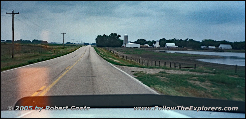
Apple Tree Rd, SD
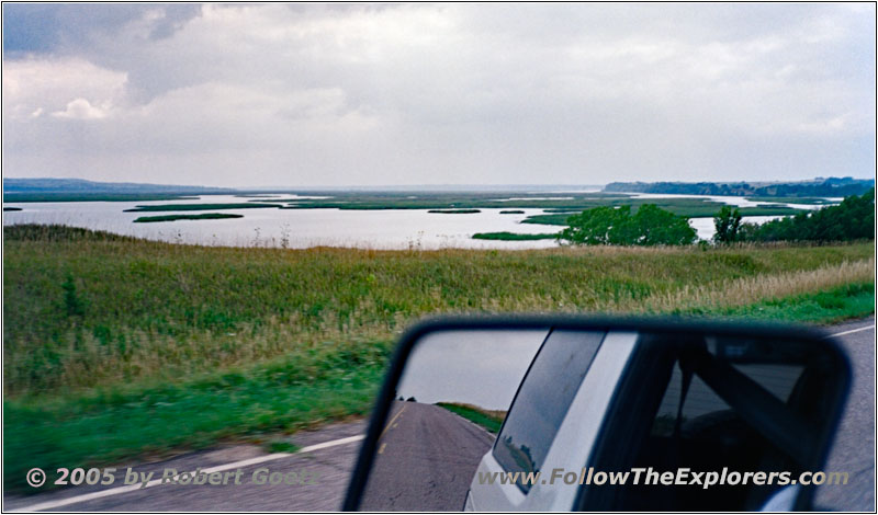
Apple Tree Rd, Missouri River, SD
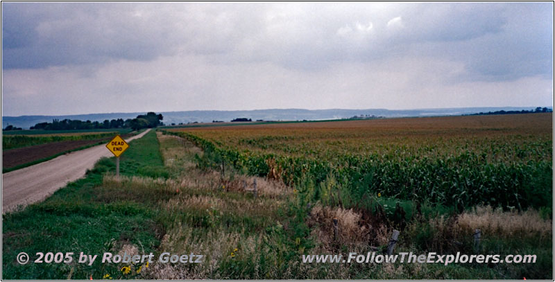
Backroad, SD
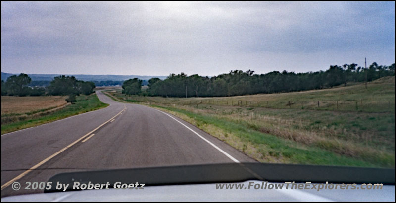
Co Rd 2, Missouri River, SD
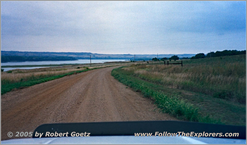
Co Rd 2, Missouri River, SD
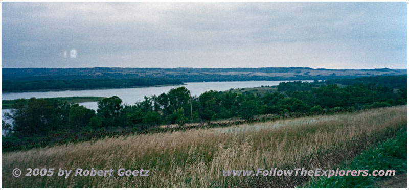
Co Rd 2, Missouri River, SD
After reaching Highway 37, I follow on backroads the Missouri River north banks all the way to Pickstown. In the meantime I hear on the weather channel of my CB radio a first tornado warning. However this warning is for the southeast area. Therefore I should be safe around here.
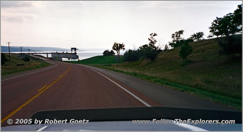
Highway 18, Ft. Randall Dam, Lake Francis Case, SD
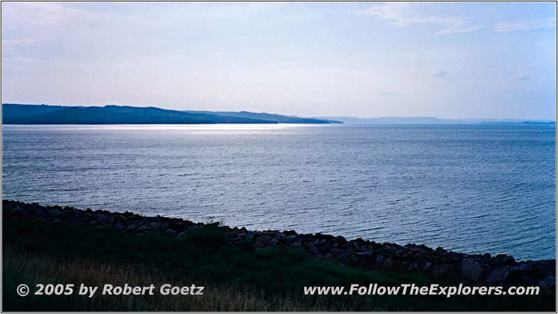
Ft. Randall Dam, Lake Francis Case, SD
I make another side trip to Lake Francis Case, before I continue east to Highway 46 and my destination of today, the Super 8 in Wagner. Already six years ago, I didn’t really enjoyed the area here, because I was not able to find any good restaurant — and this has not changed until today…
Indeed the motel recommended to go to the Two Spur’s Steakhouse. But this is even worse than my last experience around here. The steak costs $15.50 and is pretty expensive. But therefore it is so extremely marbled, that I have to cut away more than half of it. This is definitely a ripoff! Only my server is really nice. But the dinner is an impudence when looking at the price. I could even imagine, that they have two menus — one for locals and one for travelers…
- Sights
- Gravis Point Dam
- Ft. Randall Dam
- General
- Breakfast: Village Inn, Omaha
- Dinner: Two Spur’s Steakhouse, Wagner
- Motel: Super 8, Wagner
- Distance: 285 miles
