Lewis & Clark Trail
Day 36: September 25th, 1999 Missoula — Clarkston
Today is my last day in the Rockies. My last pass will be Lolo Pass. I plan to leave around 7am because it will be a long drive today. After a big breakfast at Perkins I leave the restaurant around seven as planned.
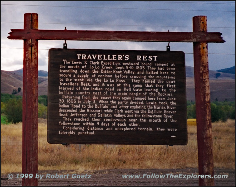
Travelers Rest, Lolo, MT
I have to drive back to the crossing where Highway 12 separates from Highway 93. Travelers Rest is close to this location. The expedition made their last stop to fill up their supplies before they set out to cross the Rockies. Their Indian guide explained that close to this place runs a small creek into the Bitteroot River. If they follow this river they reach the Gates of the Rocky Mountains within four days. If the expedition would have met the Indian mid July at Helena they would have been able to cross the mountains there and would have saved seven weeks!
At Lolo I take Highway 12 to Lolo Pass. The weather is extremely bad today. It’s raining the whole time. I skip my planned stopover at Lolo Hot Springs due to the weather. The expedition camped here and build a small dam to take a bath in the hot water. Today the dam is replaced by a commercial pool. But there is still the hot spring active.
I drive on to Lolo Pass. Highway 12 follows the actual trail pretty well. But around the pass the original path runs different. It would be possible to follow on forest roads. It is a hard decision but due to the bad weather I skip the forest roads. I don’t want to run into the same trouble like in Montana before.
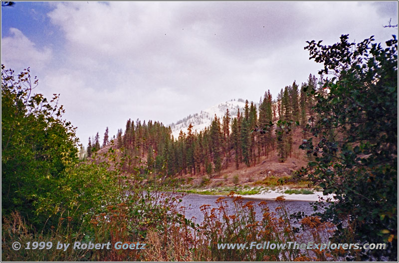
Lochsa River, Highway 12, MT
Just past the pass Highway 12 follows the trail almost exactly. I drive on to Powell Ranger Station. This is a former Ranger Station which has been build up again for the tourists. Unfortunately it is closed today. It is located in the picturesque Lochsa Valley where the Lochsa River runs through. But Lewis & Clark didn’t plan to be there. Their Indian guide took the wrong path and now they have to climb up back the mountains out of this valley. This was a big disappointment for the weakened and almost starving men.
It is easy to understand how the men have felt when looking at the weather right now. I already had rain and snow at the pass. It looks like I made the pass just in time before the winter rolls in. Unfortunately I have to leave the original trail here. Now it would only be possible to follow the trail on primitive forest roads. It is advised to only drive the road with a 4WD. It is also necessary to have camping equipment with you because the whole trip cannot be done in one day. Another advise is to have a saw in the car. It is possible that a fallen tree will block the road. And even if it is possible to turn around another fallen tree might block the road back and you are trapped. It is also necessary to keep an eye on the weather. If you are trapped by an early snow storm you have to leave your car there until spring. So it is nothing to do with a regular rental passenger car.
Clearwater River, Highway 12, MT
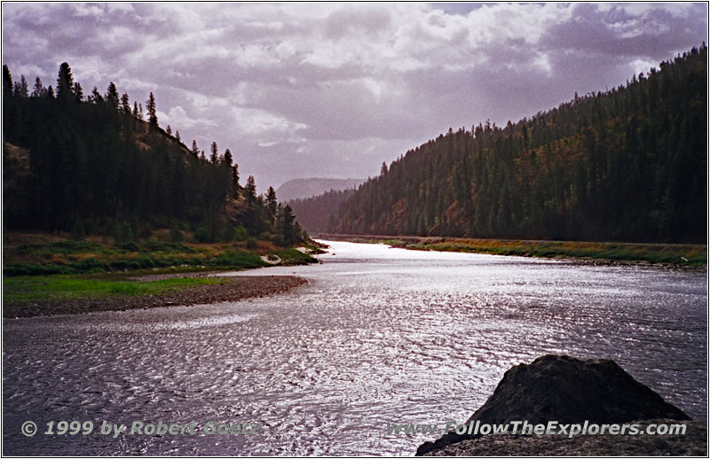
I follow Highway 12 along the Lochsa River to the end of the valley at Kooskia. Then I follow Highway 12 to the north along the Clearwater River up to Greer. The landscape slowly changes. There has been pine forests in the Lochsa Valley which are now slowly disappearing. The desert hills are getting more with less and less vegetation. This goes on while driving from Greer to Weippe Prairie on Highway 11. First there are switchbacks up to the top of the hill. Then a big plane opens almost to the horizon. The vegetation changed to prairie gras with some trees around.
Weippe Prairie, MT
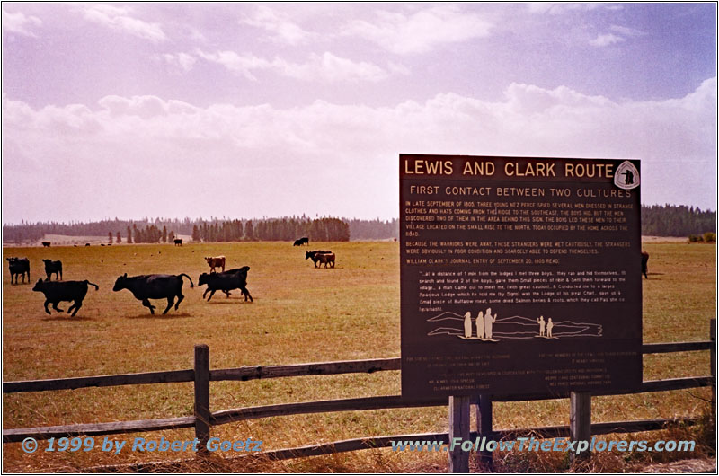
The expedition met the Nez Perce Indians here on Spetember 22nd, 1805. They gave the half starved men plenty of their fish. Clark tried to warn them to not eat too much but it was in vain. They all ate too much with the result that almost everyone was sick. The sudden change from nothing to eat to fill up the stomachs was too much. The Indians started to think about killing the Whites because of all their goods. But one Indian woman, who had been once captured by the Blackfeet and has been freed by white traders convinced them to spare the Whites. The men bought plenty of fish on September 23rd and went on to Canoe Camp.
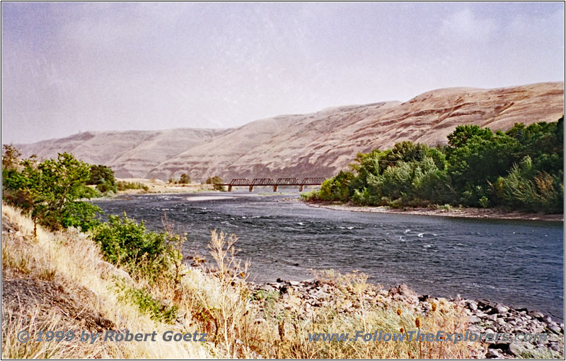
Clearwater River, Highway 12, MT
I reach this spot after driving back on Highway 11 to Highway 12 and then follow the highway to the north. There they started to build canoes to follow the Clearwater River. They continued their journey on October 7th, 1805. I follow on Highway 12 the river banks to my Motel 6 for tonight in Clarkston. I am really good in time because I was only traveling on highways. My check–in time for today is already half past two. Lucky me I get a room on the ground level which saves me from dragging my suitcase up to the first floor. I decide to visit the twin city Lewiston/Clarkston because I have still plenty of time. The city limit is also the state line between Washington and Idaho.
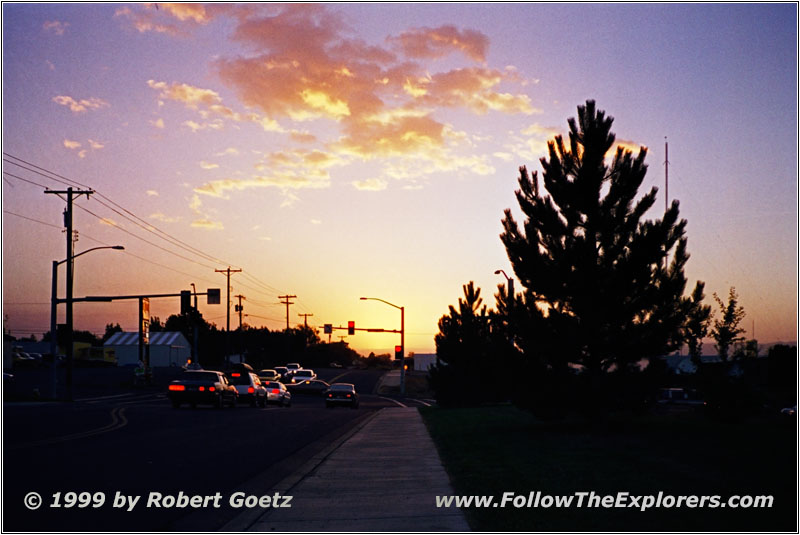
Sunset Clarkston, WA
The weather is now nice again. While driving through the city I see the beginning of a nice sunset. But I am not able to find a nice location for a good picture and movie stop. I am only able to take one picture which turned out to be not great but ok. After this little disappointment I drive on to find a decent restaurant. I try again a sports club in Clarkston along Highway 12. It is not too far from my Motel. But the dinner is not really good and the service is less then mediocre. A little bit disappointed I drive back to my Motel to catch up a little bit of sleep. I plan to start at eight tomorrow morning. And the last couple of days I was glad to have at least 6 hours sleep…
- Sights
- Travelers Rest
- Weippe Prairie
- General
- Breakfast: Perkins, Missoula
- Dinner: Sports Club, Clarkston
- Motel: Motel 6, Clarkston
- Distance: 292 miles
