Robert Stuart Trail 1812 — 1813
Day 17: August 28th, 2007 Twin Falls — Pocatello
Today breakfast is again at Shary’s — and again with the good “Bold” coffee! Then I drive over to the next gas station. Just past ten I am back on the road again.
Because I already visited the Twin Falls last year, I directly drive on similar roads like last year to Cauldron Linn. But first I need to get out of Twin Falls.
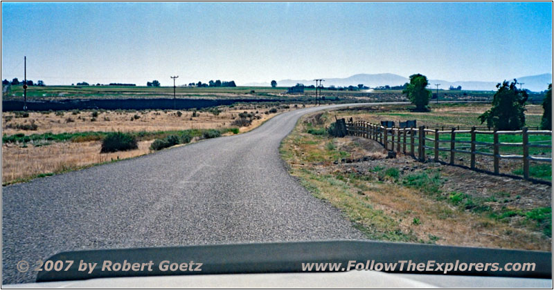
N 4500 E, ID
As usual I look for the smaller roads.
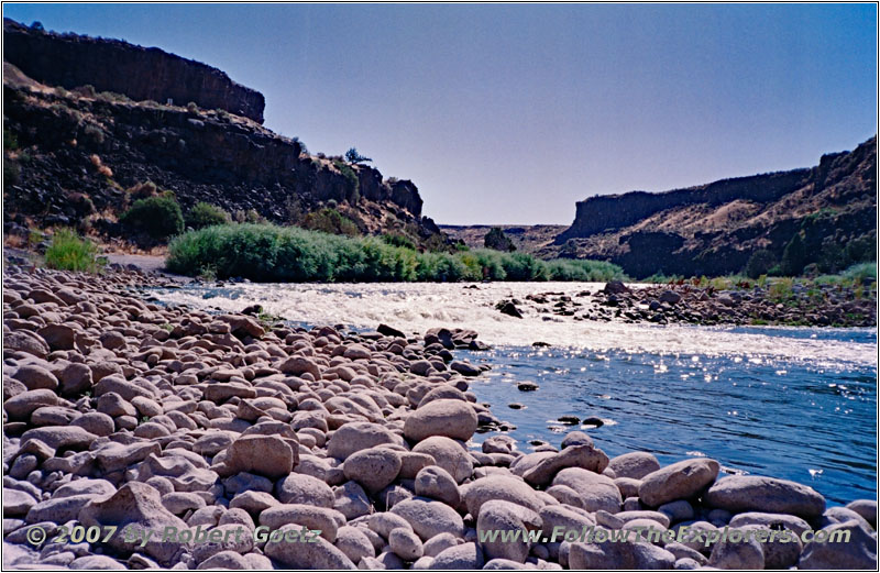
Snake River, ID
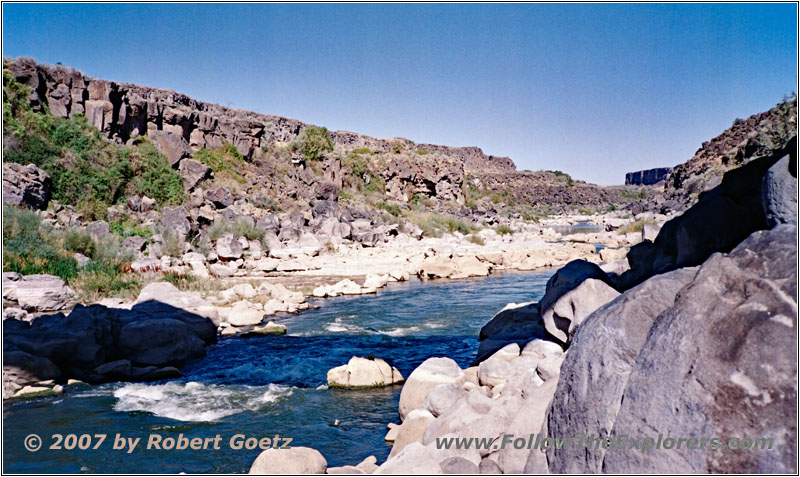
Snake River, ID
On Murtaugh Road I drive down to the Snake River like last year. There I have the chance to take some great pictures of the river before I continue my journey.
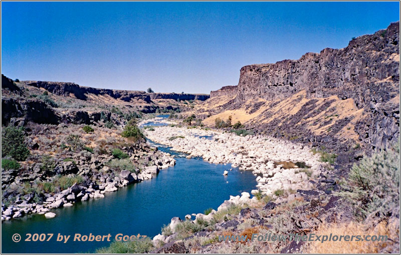
Snake River, Cauldron Linn, ID
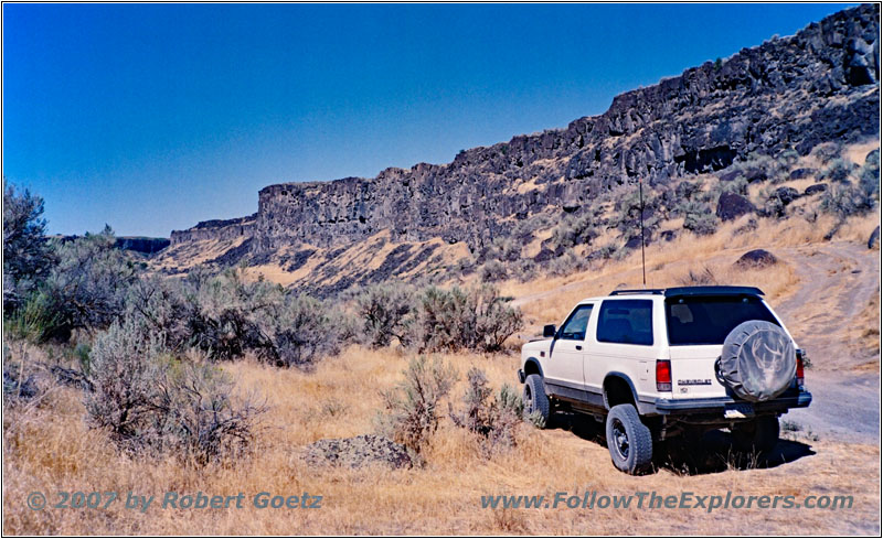
88 S10 Blazer, Cauldron Linn, ID
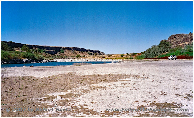
Snake River, Cauldron Linn, ID
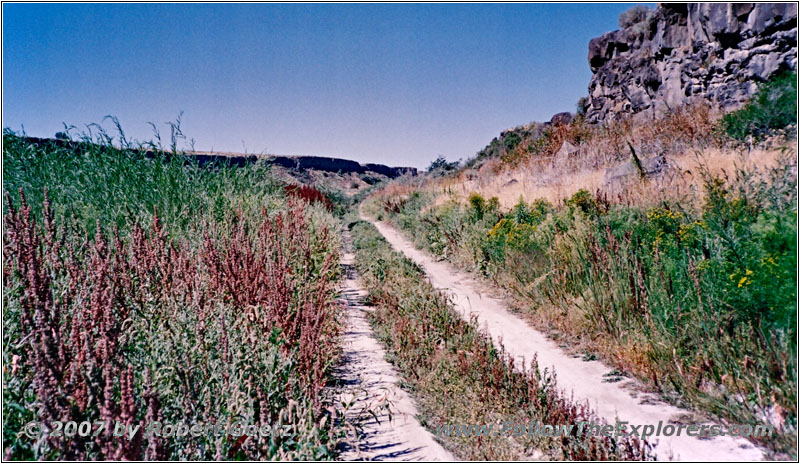
Cauldron Linn, Cauldron Linn, ID
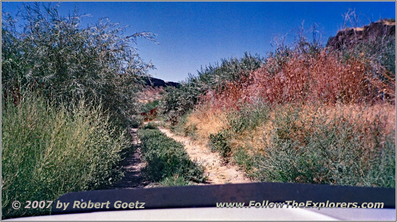
Cauldron Linn, Cauldron Linn, ID
Now I continue to the Cauldron Linn. There I didn’t had much time last year to really visit this part of the Snake canyon. Therefore I planned more time this year for a visit. First I drive down the steep incline to the river bed. There I first drive in westerly direction to the bridge. It is not possible to drive too far. The last stretch I am on foot over rocks until I have a great view. Then I drive back along the river bed in eastern direction until it is not possible to proceed further — or let’s say until I am worried that I am not able to continue. I turn around and look for a nice place for a lunch break. There is a small opening to the sandy river bed which looks quite solid in the front area. There I park and have my traditional lunch break with apples. Around half past twelve I depart and try to turn around to reach the exit of this river bed. Because I can already see some tire tracks I am sure, everything will be fine. But suddenly my rear tires start to spin. Oh my gosh, please don’t start to dig in. Immediately I put in 4WD. But that is not enough! Only when I put in 4Low I am able to get out of this misery. Now I am able to get back to the backroad with a slightly increased pulse. The drive out of the canyon is then without any issues.
I drive again on Murtaugh Rd over the Snake River and back to the other side of the canyon.
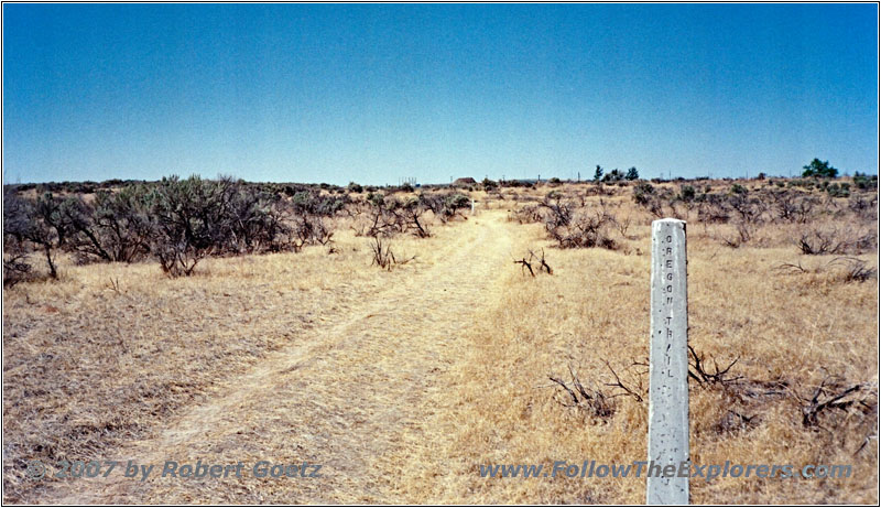
Oregon Trail Marker, Milner Dam, ID
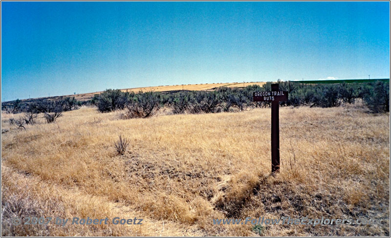
Oregon Trail Ruts, Milner Dam, ID
My next destination is Milner Dam. There, Stuart was looking for Hunt’s caches. I also do some video taping here like last year. Then I continue to the park nearby. There it should be possible to still see some of the original Oregon trail ruts. I hike for almost an hour on these original trails. But you only see that the trails are only dug in like usual driving ruts. And all is covered with gras. You cannot tell if this is really part of the trails or if it is just laid out or some left overs of old driving ruts. But the signs state that these are the original Oregon trail ruts. So I just believe them…
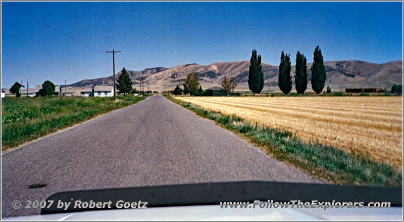
E 300 Rd S, ID
From Milner Dam I drive through Burley and pass Heyburn. There I originally planned to spend the night. Because I am still good in time and I don’t know if I am able to drive the next offroad leg I continue my journey.
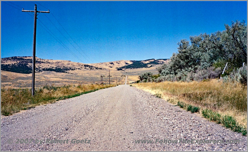
S 1250 E, ID
Stuart got a bit lost in this area and ended up in the East Hills, south of Heyburn. I follow the backroads here to Albion.
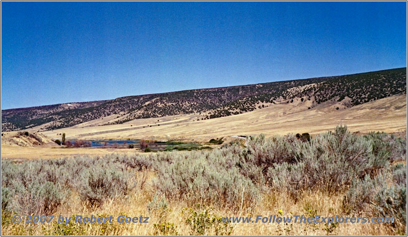
Marsh Creek Rd, Marsh Creek, ID
Along Marsh Creek Stuart reached his original planned route. So I also try to follow on the backroads the river beds. Unfortunately, private property locks me out pretty early and I must turn around.
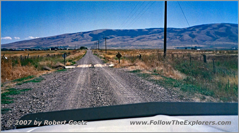
S 1250 E, ID
Because according to my map, the whole stretch along the river bed would have not been possible to drive, I have already been looking for an alternative backroad, which runs in parallel. However, I am stopped again by private property again pretty early.
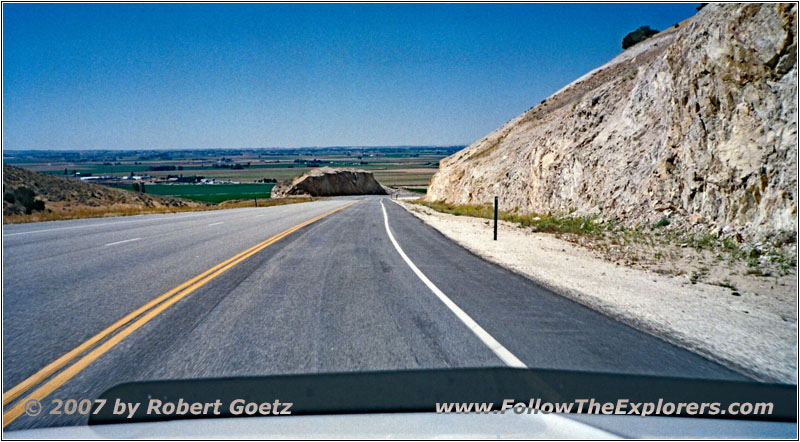
Highway 77, ID
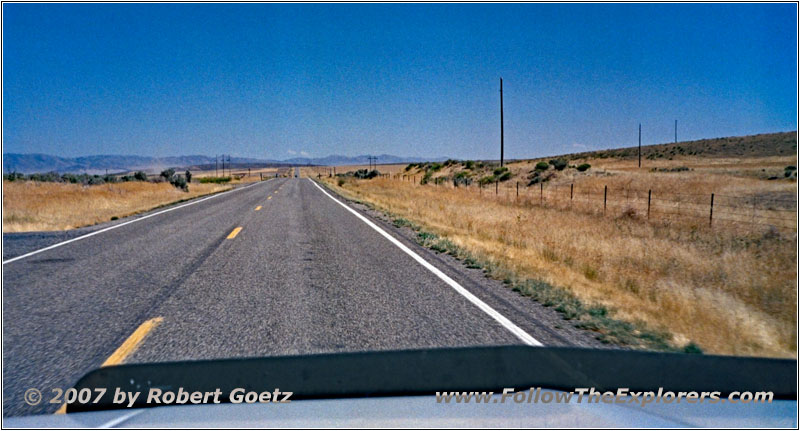
Highway 81, ID
Therefore I arrive at Highway 81 way too early, which could take me back to Heyburn. When I check my map I realize that I plan to visit the Massacre Rock State Park tomorrow. So I decide to already drive to Pocatello today and drive back this small stretch back on the Interstate. This way I gain some more visit time for the park. So I now drive on Highway 81 further east to Yale Road.
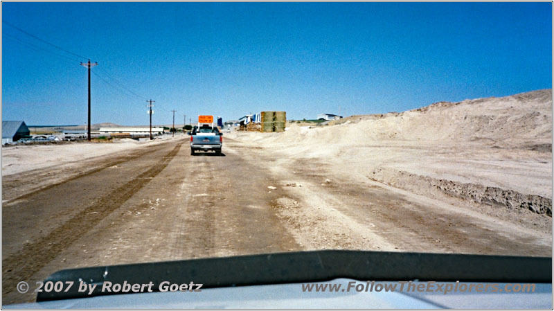
Yale Rd, ID
There awaits me a huge road construction first. At the beginning I am asked if I want to drive through the whole construction zone. When I affirm this she organizes a pilot car and guides me as the only car through the more than 10 miles long construction zone. I almost get a bad conscience, because I am causing a lot of work to them for just driving through. Finally I arrive at the end of this construction zone and my car is now really covered with dirt — more than all of my previous offroad driving.
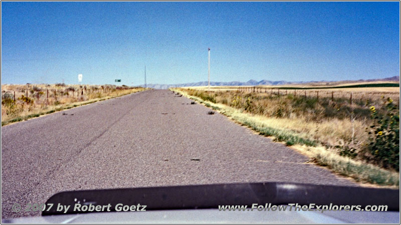
Frontage Rd/E 300 Rd S, ID
Slowly I approach Interstate 86. But I still prefer to drive on the smaller roads in parallel of the Interstate, like last year.
At Massacre Rock State Park I finally must continue on the Interstate. Because I already must drive back to this place tomorrow, I take the Interstate now all the way to Pocatello. There I already stayed last year in the local Motel 6. This time I take a room for two nights. Around half past five I check in. But I am not able to receive a room on first floor, but on second floor. I put my stuff into the room and check first in the phone book where the nearest Outback Steakhouse is located. Unfortunately I have mixed up the cities. There is only an Applebee’s around here.
So I will have dinner at this location. But first I check the first part of my video taping. When the time is slowly approaching 8pm, I depart and receive a first class service and a good and huge dinner. Around a quarter to nine I pay and drive back to my motel. There I check the rest of my video taping, do my book keeping and enter the next GPS coordinates. While doing this I listen to my recently bought CDs…
- Sights
- Cauldron Linn
- Milner Dam
- Oregon Trail Ruts
- General
- Breakfast: Shary’s, Twin Falls
- Dinner: Applebee’s, Chubbuck/Pocatello
- Motel: Motel 6, Chubbuck/Pocatello
- Distance: 227 miles
