Stephen H. Long Trail 1819 — 1820
Day 10: September 2nd, 2008 Kansas City — Omaha
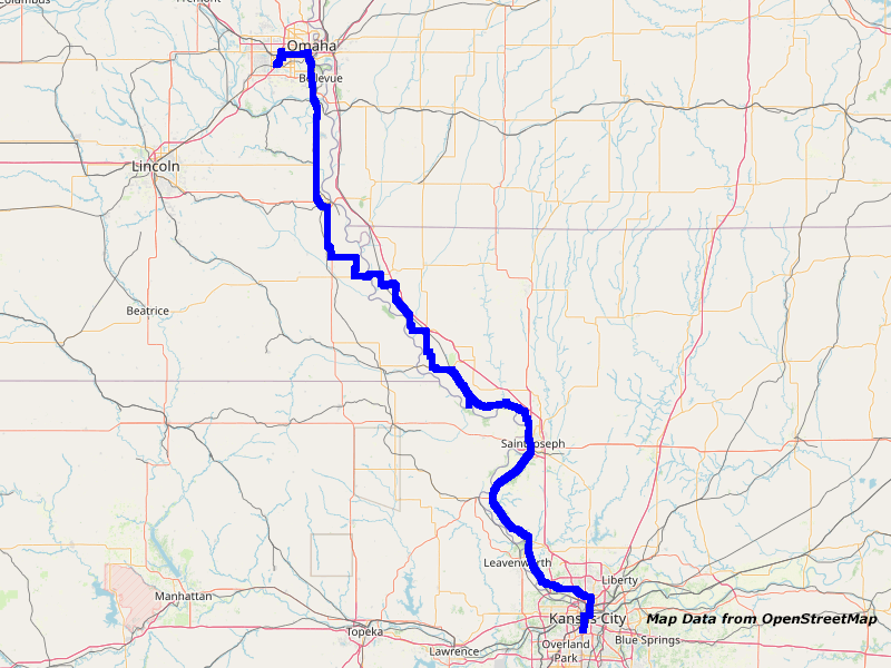
Map Kansas City to Omaha
I am extremely tired from yesterday. Indeed, I already woke up around half past six. But then I fell asleep a couple of times again. Around half past seven I pull myself together and go under the shower. Breakfast will be at the First Watch again. My stuff will stay in the room when I walk over to the restaurant. All in all I have time until noon to checkout.
Just past nine I arrive there and today they are not really busy. I immediately get a table and order a “Far West” omelet. That perfectly fits my planned journey.
Around a quarter past ten I pay and walk over to Radio Shack. There I buy two power cords for my chargers. Lucky me I see just before paying that one of the cords has no slot! I even didn’t knew that there are some without available…
I pay and walk back to my hotel. My stuff is already packed together from before. So I only have to get my bags and walk to the exit. Downstairs I hand over my room keys and walk to my car. As one of the employees sees how I am struggling with all my luggage, he immediately wants to give me a helping hand. But I have almost reached my car. Therefore I don’t need further assistance.
Until everything is back in the car, almost a quarter of an hour is over. While I distribute my stuff in the car I am asked again if I am a stormwatcher. Unfortunately I have to disappoint all of the guys and say no…
Around half past ten I drive over to the gas station at the main crossing. There the card reader is annoying me again, because it doesn’t want to accept my credit card. So I drive over to the next pump, where it works without issues. It’s about time to get my new credit card…
First I take I–35 north. The routing and configuration of streets and roads is chaotic around here and my great GPS software does the rest to completely confuse me. Due to some bridge construction work there is a small traffic jam. But the traffic flows soon again. Because my GPS software is more confusing than helping I better take a look at my map to get directions. This works better for me. Let’s see how I can improve things here.
On the Interstate I drive up to the exit of Highway 45.
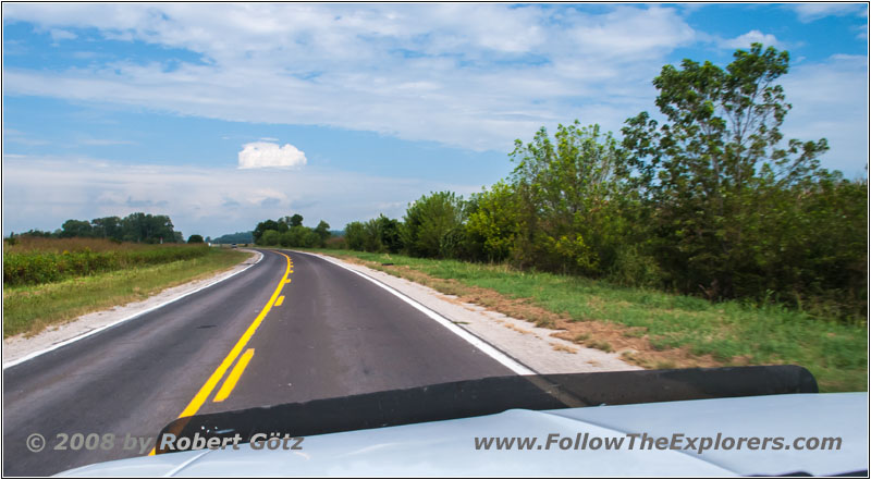
Highway 45, MO
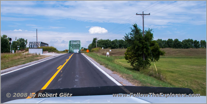
Highway 45, Platte River, MO
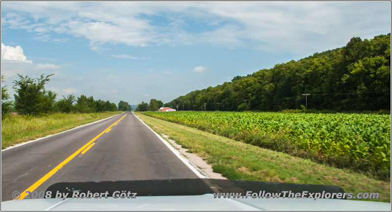
Highway 45, MO
There I end up at a police convoy. I have no clue who it is and where they are going. Anyway, two officers are leading the convoy on their Harleys and a convoy of about 20 cars is following them. I am a couple of cars back of them. But I am also forced to crawl with 30mph.
Not before the Interstate the convoy takes a turn and I am able to proceed on a regular speed. Now I am really making miles, because I am not yet on the real backroads. According to this, a lot of traffic is around and I am also forced to drive faster than I want for my pictures.
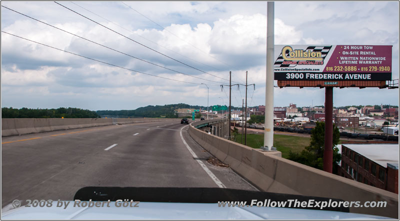
I–229, St. Joseph, MO
At St. Joseph I take I–229 for a short distance, from where I have nice views of the Missouri River.
After a couple of miles I continue on the smaller Highway K to Amazonia and from there on Highway T along the river course. There again my GPS software is annoying me because it wants to put me on roads which does not exist. To get there I would need to drive through a couple of fences. But at the point where I originally wanted to make a turn would have been the correct road.
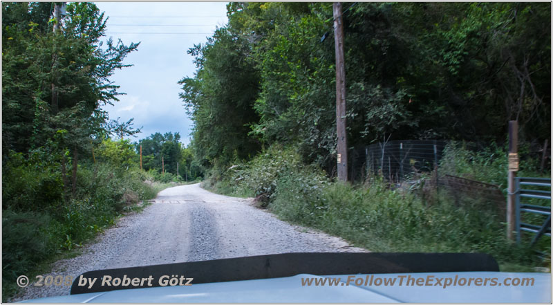
Rd401, MO
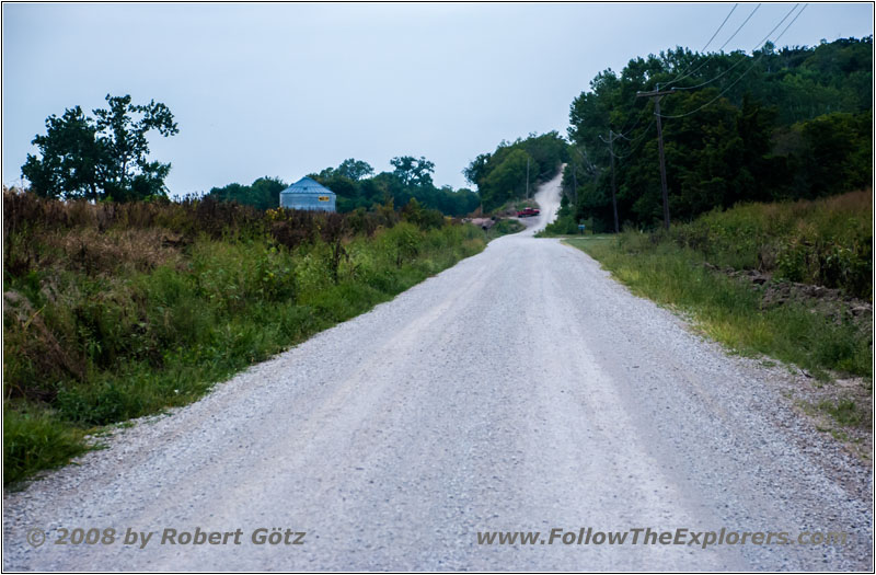
Rd400, MO
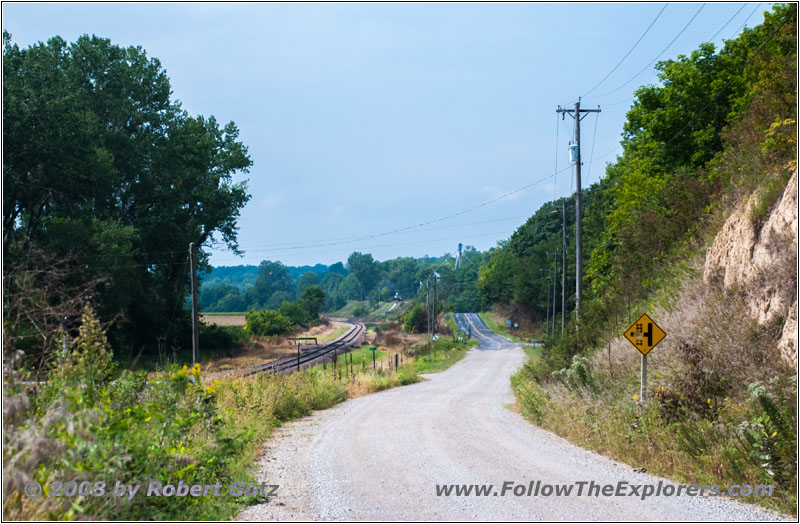
Holt 340, MO
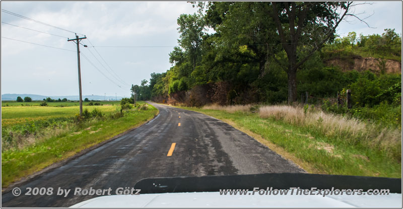
Highway T, MO
Anyways, here I have gravel for the first time under my wheels. I am really anxious to see, what will all happen this year. Soon after this I am back on pavement and the County Road T exists again.
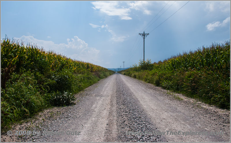
Omaha Rd, MO
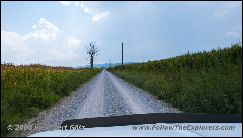
Omaha Rd, MO
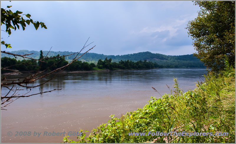
Payne Landing, Missouri River, MO
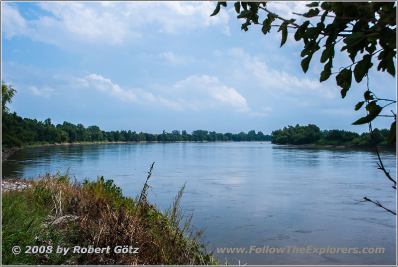
Payne Landing, Missouri River, MO


88 S10 Blazer, Payne Landing, Missouri River, MO
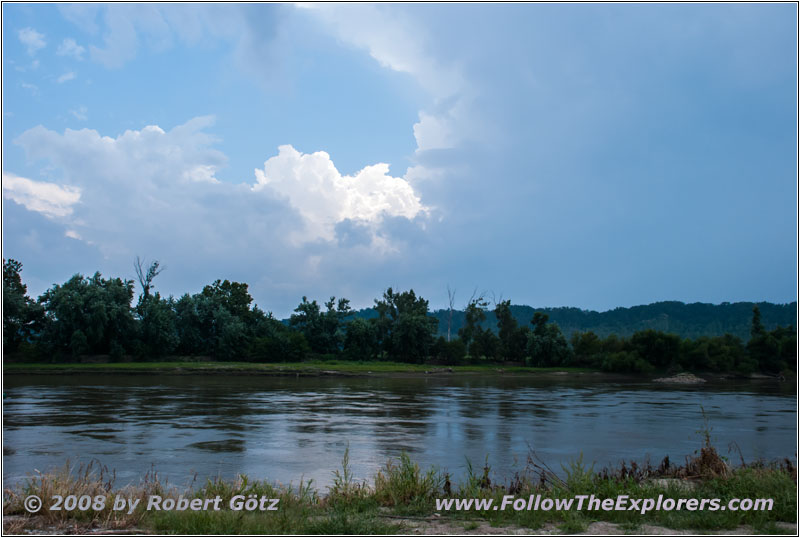
Payne Landing, Missouri River, MO
Around half past one I am looking for a river access to have my lunch break. There are already two fishermen to whom I wave. I take a couple of pictures and have my lunch break. It’s dripping from time to time. It seems like the cold front is now slowly approaching me. But we still have temperatures in the 90s and it is very humid. Even in the morning we already had 75 degrees!
Just when I have finished my lunch break it slowly starts to rain. Now I drive the long gravel road back to the highway. On my arrival there was no traffic. But now, when it started to rain, even two cars are approaching me on this narrow road.
Back on the highway the rain gets less and I am able to open my window again. At Forest City I turn onto Highway 111.
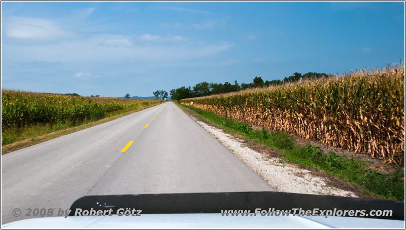
Highway 111, MO
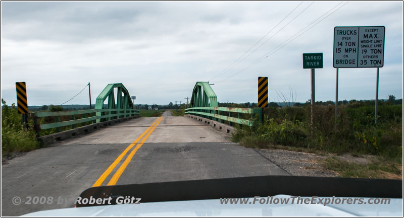
Highway 111, Tarkio River, MO
On this one I continue in northwestern direction, always following the Missouri River course.
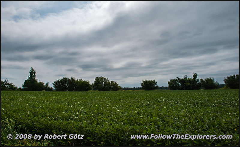
Highway 111, MO
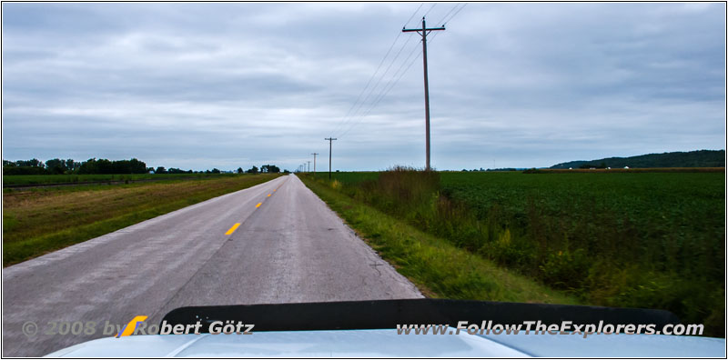
Highway 111, MO
I still have my windows open and you can really tell how it is cooling down now. You almost have the impression as if it is two degrees per mile. Suddenly we only have 70 degrees and I decide to shut my window now.
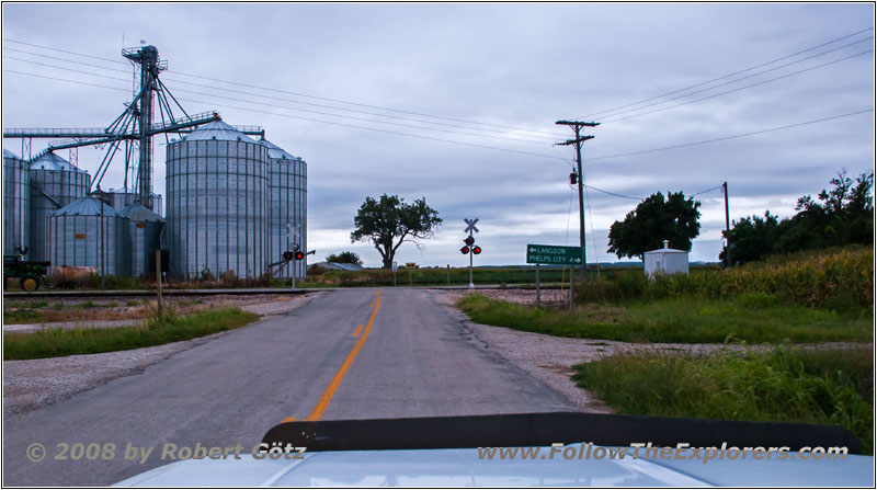
Highway E, Langdon, MO
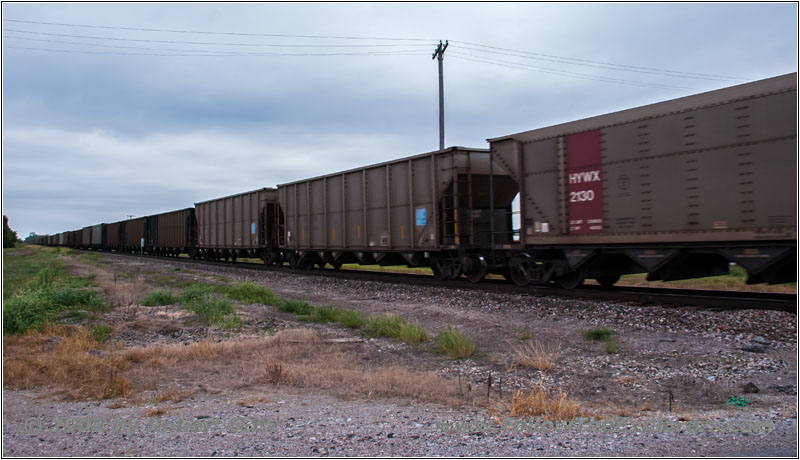
Highway E, Langdon, MO
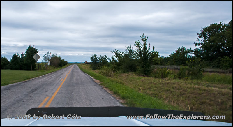
Highway U, Langdon, MO
Just before Langdon a train stops me. Then I am able to proceed.
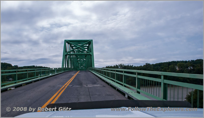
Highway 136, Missouri River, MO
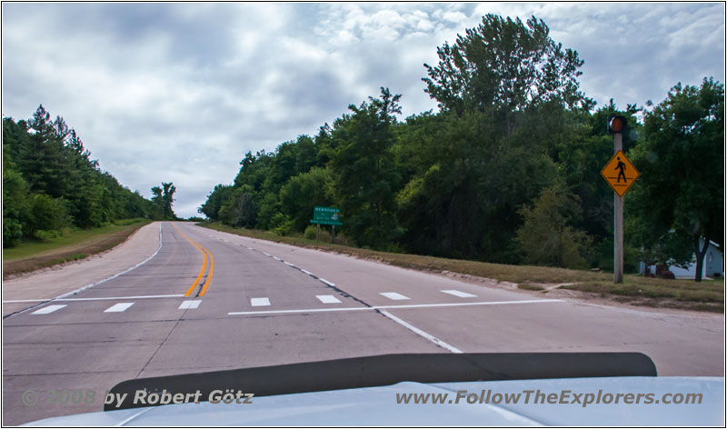
Highway 136, State Line MO and NE
On Highway 136 I cross the Missouri River and the state line to Nebraska.
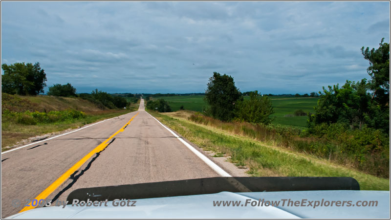
Highway 136, NE
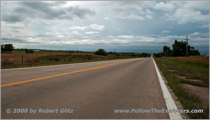
Highway 67, NE
Then I take Highway 67 and 75 in direction of Omaha.
There I–80 and the chaotic evening traffic catches me. This is something I remember from earlier years. They are really driving like crazy around here and I already heard of many accidents on the radio. My GPS software manages again to give such imprecise directions that I get totally lost. Only after I start to navigate with a mix of my sense of orientation and this stupid software, I eventually arrive at the Motel 6.
There is no problem to get a room and this is even on first floor. But with my usual luck all the parking spots around my room are occupied. This is so annoying, that seems to be always my luck! Therefore I must again carry all my stuff over a longer distance. At least there are no stairs.
The room smells pretty bad and also smells a lot like smoke. That was probably a smoking room once. But with time you are getting used to it and you almost don’t realize the smell anymore. Around half past five all my stuff is in the room and I start with writing my diary. Around half past six I have finished this task and take care of my video taping. Just past eight I have also finished this one and I take a look at the phone book to find an Outback or Lone Star Steakhouse. With the assistance of my DeLorme software I check which of them is closer and how I can get there. Finally I decide to go to the Outback Steakhouse.
Again I get lost again. But this time it is even luck, because the crossing I should have taken is completely closed due to road construction work. So I arrive without any further issues — whereas I almost missed the Outback Steakhouse, because it is on the other side of the road of where I had expected it to be.
On the menu they even have three Sirloin sizes to choose from: 6oz, 8oz and 11oz. I decide to take the 8oz which is the perfect size for me. And they also have my Thousand Island dressing here. I am still wondering why I was not able to get it in Pittsburgh. Just before ten I pay and drive back to my motel.
After my arrival I first copy the pictures from my camera to the laptop. Then I complete my diary. To my great happiness, they have placed again an elephant in the room above me…
- Sights
- —
- General
- Breakfast: First Watch, Kansas City
- Dinner: Outback Steakhouse, Omaha
- Motel: Motel 6, Omaha
- Distance: 253 miles
