Stephen H. Long Trail 1819 — 1820
Day 19: September 11th, 2008 Pueblo — Dodge City
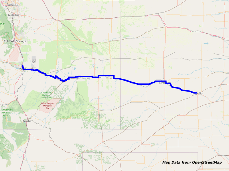
Map Pueblo to Dodge City
Around four in the morning I wake up, because some idiots are trampling around. On top of that they also honk the horn — probably to tell they are ready for departure. Do these reckless idiots think they are alone around here?!
Lucky me I am able to fall asleep immediately after this. But already around 7am I am awake again. Taking a shower, packing my stuff together and putting everything in my car is a real routine again in the meantime. I quickly take a look in my map where the Cracker Barrel should be: When leaving the motel I just have to turn left. There, the restaurant should show up.
While driving down the road I suddenly see the Texas Roadhouse! I knew it couldn’t be this far away. Well, maybe I can try it next time I am around here…
While having my breakfast I receive an excellent service. It’s not happen really often that the server is taking this good care of me! I pay and drive over to the gas station at the corner. Just before 10am I am back on the road again.


I–25, Pueblo, CO


Highway 96/E 4th St, Pueblo, CO


Highway 227/S La Crosse Ave, Pueblo, CO
First I drive on I–25 to the exit of Highway 96 South. Then I reach Highway 50 via Highway 227. When I get out of town the traffic decreases. Finally, Highway 50 reunites with BUS50 and the traffic increases again. But the highway sometimes has two lanes per direction which gives me the chance to drive slower without being an obstacle for others.


BUS50, CO


Highway 96, Boone, CO
Soon Highway 209 leaves to the north. There things are calming down and I cross the Arkansas River. Also Highway 96 through Boone has only little traffic.


Highway 96, CO


Highway 167, Arkansas River, CO


Highway 167/North Main St, Fowler, CO
On Highway 167 I cross once again the Arkansas River and in Fowler I am back on Highway 50.


Highway 50, CO


Rocky Ford Dyke Rd/CR 805, CO


Rocky Ford Dyke Rd/CR 805, CO


Rocky Ford Dyke Rd/CR 805, CO


Rocky Ford Dyke Rd/CR 805, CO


Rocky Ford Dyke Rd/CR 805, Arkansas River, CO


Rocky Ford Dyke Rd/CR 805, CO


Rocky Ford Dyke Rd/CR 805, CO
On my drive north to Highway 71 is again more traffic. But Highway 71 is getting more quiet. Finally I am driving on Rocky Ford Dyke Road on a levee along a canal which gives me the chance for some very nice pictures. Against my expectations, the weather is really nice. There are only some cloud streaks in the air, that’s all.


CR DD, CO


CR 28, CO


CR 28, Fort Lyon Canal, CO
Then I am getting a little bit farther away from the Arkansas River until I reach the Fort Lyon Canal. On Canal Road I follow this channel until I am blocked again by private property in the area of La Junta. That’s why I am continuing on Highway 194.


Canal Rd, CO


Canal Rd, CO


CR 33, CO


Highway 194, CO
But soon I can make another attempt to get back on Canal Road. But also there my travel ends at a closed road. Therefore I drive back again to Highway 194 which takes me along Fort Benton. This fort I have already visited on my Pike Trail before. So I skip another visit this time.


88 S10 Blazer, CR 37, CO
Just past the fort I take Road FF, because I felt that something has hit my throat. I drive with an open window and some insect has hit my rear view mirror and was thrown into my truck. I search myself, but I am not able to find anything. My throat is okay and there is also nothing to see on my shirt. Then I suddenly see that a bee is crawling on my jeans. Carefully I take her at a wing and really feel how she is trying to hold on to my jeans. I throw her out of my car a bit impolitely. Then I spontaneously decide to continue on Road FF, because I am already there. There is a branch, which seems to run down to the river. I drive through an open gate where no signs are posted prohibiting traveling there. The road continues along a field down to the river. There the road really changes to an overgrown farm road and also turns in the wrong direction. There I have a brief lunch break before I return to Highway 194.


Highway 194, CO


Highway 194, CO
On Highway 194 I continue to Highway 50. But there I only drive on it for a short distance, because I want to follow Road JJ.


CR JJ, CO


CR JJ, CO


Ruin, CR JJ, CO


CR JJ, CO


CR JJ, CO


CR JJ, CO


CR JJ, CO


CR JJ, CO


CR JJ, CO
According to my GPS software this road can only be partly driven because the rest is under water. But my map says something else. Therefore I give it a try anyway. And indeed, the gravel road goes straight forward without any issues to the final destination. However, the water in my GPS map is a swamp area in reality, where you are driving through. You directly see beside the road how high the water is standing there. When there are suddenly gravel trucks showing up in my back mirror I quickly make room for them. They have a cloud of dust behind them, which covers the whole area.


CR JJ, Arkansas River, CO


CR 34.5, Arkansas River, CO


CR HH, CO
At the end of Road JJ I drive south over the Arkansas River and to Road HH.


Highway 287/385/S Main St, Lamar, CO
At Lamar I reach Highway 50 which turns north there. Once again I cross the Arkansas River. Then I continue on Road 196/KK in eastern direction.


CR KK/CR 196, CO


Highway 50/400, State Line CO and KS
This one I follow for a while before I am able to travel on gravel for the last couple of miles. Then I turn south and reach again Highway 50. I make a brief stop at the restroom of the Colorado Welcome Center. Unfortunately, this time without a soap at the rest area. But I have some disinfection in my car. Then I cross the state line to Kansas. Just past Coolidge at the top of a small hill I cross the timezone. But the sign shows up so surprisingly that I was not even able to take a picture with my photo…
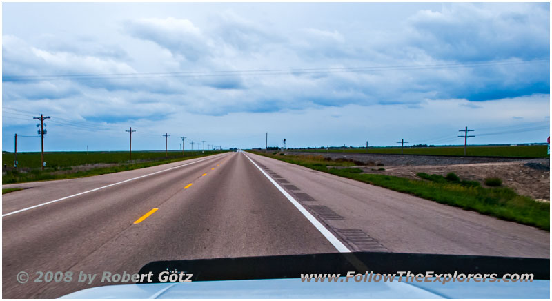
Highway 50/400, KS
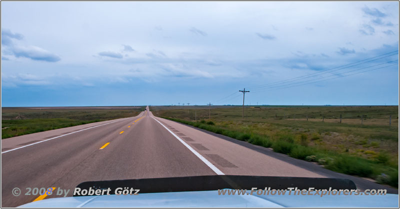
On the well established Highway 50 I make good miles. Now it is no longer possible to drive slowly, because you would turn into a traffic obstacle for others soon. At Syracuse I gas up again just to be sure. Otherwise I could run out of gas. Around half past three Central Time I am back on the road again.
Highway 50/400, KS
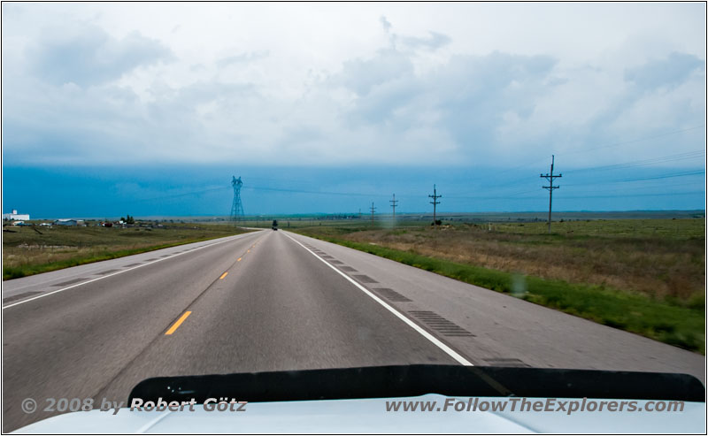
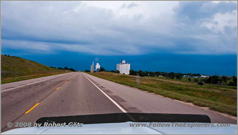
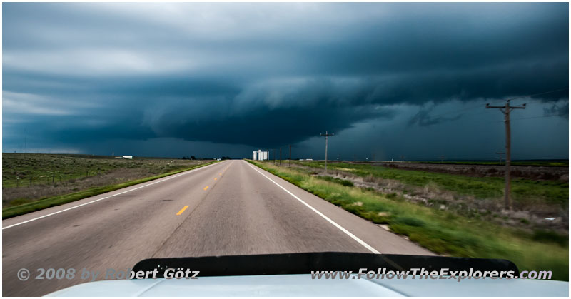
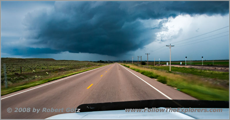
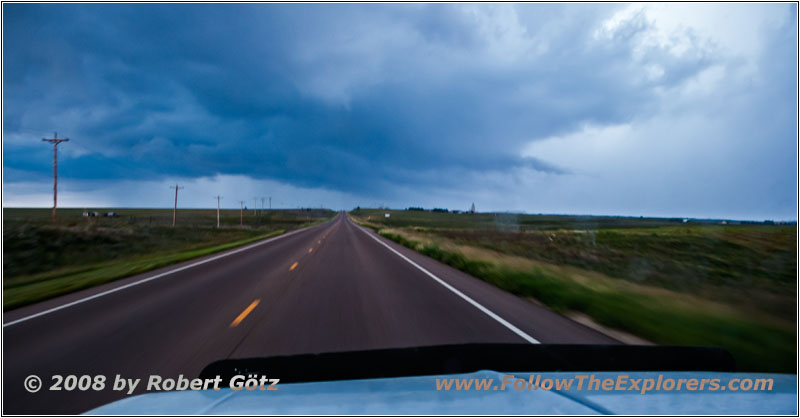
The clouds are getting darker in the direction I am traveling to. So I drive through Garden City.
Highway 50/400, KS
Highway 50/400, KS
Highway 50/400, KS
Highway 50/400, KS
Also I am able to drive through Pierceville without any rain.
Highway 50/400, KS
Highway 50/400, KS
Highway 50/400, KS
Highway 50/400, KS
Highway 50/400, KS
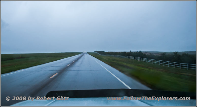
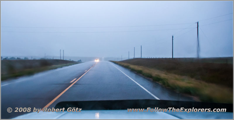
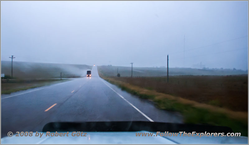
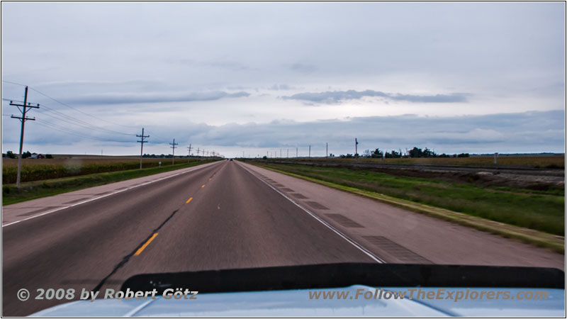
But then it happens and I drive through a heavy thunderstorm. It is pouring so hard that my wipers are barely able to make it. After almost half an hour I am through this weather front and when I arrive at Dodge City it’s just dribbling. There is nothing to see from this bad weather before. This amazes me, because with the heavy headwind which I had all my way the bad weather should have approached from the east.
All in all, I am really anxious to see my gas consumption. Although the whole time I was driving slightly downhill, the transmission shifted down or unlocked quite often to keep my 65mph. There the wind must have been really strong.
Jast past six I check in and ask for an upstairs room. There the Super 8 is even three stories high. But I am more than happy to drag my stuff all the way up to avoid having someone stomping on my head. When asking for the steakhouse, they recommend the Central Station instead. The steakhouse should not be as good as it was. Indeed, it is hard to tell if this is really the truth or if they want to push me to the other restaurant.
But because I have never tried this restaurant before, I want to try it this time. Around 8pm I arrive there. Just before I quickly took a look at my emails. The parking lot is pretty full, which is always a good sign. I also immediately receive a table. The restaurant interior is cozy rustic like an old railway station. The price level is moderate and I decide to take a KC Strip, which I have never tried before.
Everything tastes really good. Only the salad is a bit small. Instead, you have a nice vegetable mixture as side to your meal. Only the steak is not really convincing for me, because it is extremely marbled. Maybe it has to do with the KC cut, but maybe they don’t have this good meat.
With some mixed feelings regarding the dinner I leave the restaurant. Outside it is lightly raining. Back at my motel the parking lot has already filled up. Originally I planned to park in front of the motel. But now I must drive to the back. Hopefully tomorrow is still everything attached to my truck…
After arriving at my room, I first write my diary while listening to my Kid Rock CD. This is the last CD for now. Let’s see when I have time for the next one. On the radio I have already heard some new songs, where I don’t know yet who was the artist.
Now I must quickly finish my bookkeeping before I can start checking my video taping around 11pm. I am getting the impression that I am not able to keep up anymore…
- Sights
- —
- General
- Breakfast: Cracker Barrel, Pueblo
- Dinner: Central Station, Dodge City
- Motel: Super 8, Dodge City
- Distance: 298 miles
