Stephen H. Long Trail 1819 — 1820
Day 29: September 21st, 2008 Raton — Tucumcari
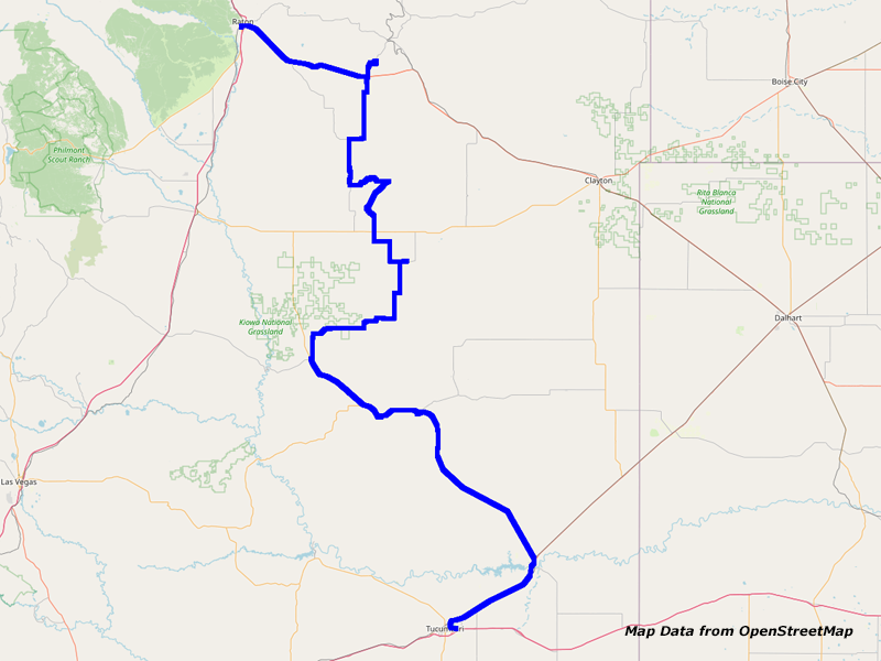
Map Raton to Tucumcari
Thanks to my ear plugs, I do again not wake up before seven in the morning. I make myself ready and around half past eight I am able to check out. For breakfast they recommend either Denny’s or Piper’s. I decide to drive to the latter and they surprise me positively. It is a small restaurant with moderate prices and good breakfast. This is definitely a place to remember when I am in town next time!
Then I drive over to Kmart to get some bottled drinking water. Unfortunately, they don’t have any CDs. Finally I drive over to the gas station nearby, which is remarkable 5 Cents cheaper than the one at the Interstate.


Highway 64/Clayton Rd, Raton, NM
Around a quarter to ten I am back on the road again.
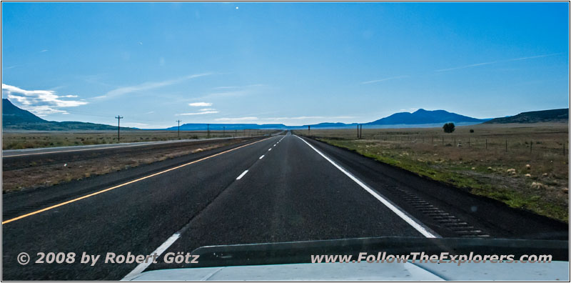
Highway 64/87, NM
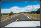
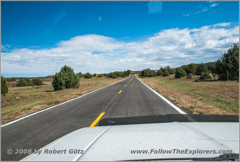
First, I take Highway 64 to Capulin where I turn onto Highway 325 to get to Capulin Volcano National Monument.
Highway 325, NM
At the Visitor Center they show a 10 minute introduction movie, which tells you something about how the volcano developed and the area around here.


Volcano Rd, Capulin Volcano NM, NM


Volcano Rd, Capulin Volcano NM, NM


Volcano Rd, Capulin Volcano NM, NM


Volcano Rd, Capulin Volcano NM, NM
Then I drive the volcano road up to the crater rim.


Crater Rim Trail, Capulin Volcano NM, NM


Crater Rim Trail, Capulin Volcano NM, NM


Crater Rim Trail, Capulin Volcano NM, NM


Crater Rim Trail, Capulin Volcano NM, NM


Crater Rim Trail, Capulin Volcano NM, NM


Crater Rim Trail, Capulin Volcano NM, NM


Crater Rim Trail, Capulin Volcano NM, NM


Crater Rim Trail, Capulin Volcano NM, NM


Crater Rim Trail, Capulin Volcano NM, NM


Crater Rim Trail, Capulin Volcano NM, NM


Crater Rim Trail, Capulin Volcano NM, NM


Crater Rim Trail, Capulin Volcano NM, NM


Sign, Crater Rim Trail, Capulin Volcano NM, NM


Sign, Crater Rim Trail, Capulin Volcano NM, NM


Sign, Crater Rim Trail, Capulin Volcano NM, NM


Crater Rim Trail, Capulin Volcano NM, NM

Crater Rim Trail, Capulin Volcano NM, NM


Crater Rim Trail, Capulin Volcano NM, NM


Crater Rim Trail, Capulin Volcano NM, NM


Crater Vent Trail, Capulin Volcano NM, NM


Crater Vent Trail, Capulin Volcano NM, NM


Crater Vent Trail, Capulin Volcano NM, NM
Up there is a hiking trail along the crater rim and down into the crater to the “vent”, where once the lava poured out. From the crater rim trail you have magnificent views of the surrounding area, because the crater is high above the plain. According to this are the views.


Volcano Rd, Capulin Volcano NM, NM


Volcano Rd, Capulin Volcano NM, NM


Volcano Rd, Capulin Volcano NM, NM
Around half past twelve I leave the crater and drive the volcano down.
Then I drive on Highway 325 back to Capulin and from there straight on onto backroads in southern direction.


Horse, County Line Rd, NM
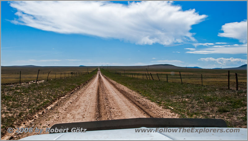
County Line Rd, NM


Pronghorn, County Line Rd, NM


Pronghorn, County Line Rd, NM
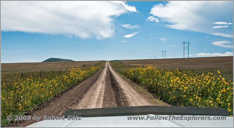
Malpie Rd, NM
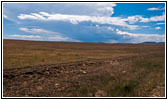
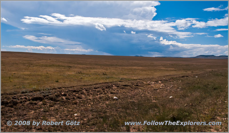
CR A16, NM
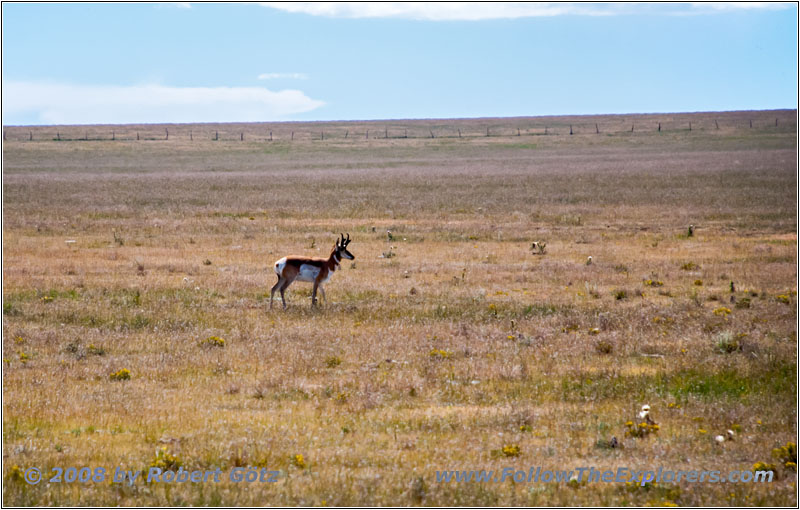
Pronghorn, CR A16, NM
Unfortunately I am stopped once again by private property and must drive back to Highway 193. To my surprise, this highway is gravel! But after a short distance the pavement begins.
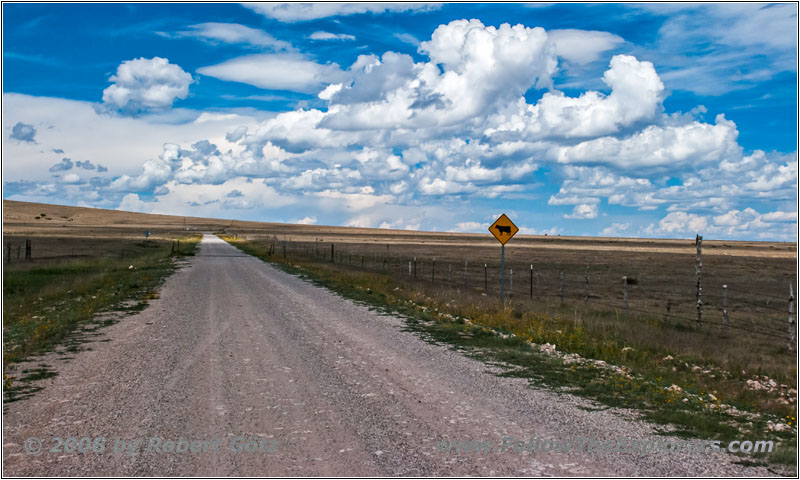
Highway 193, NM
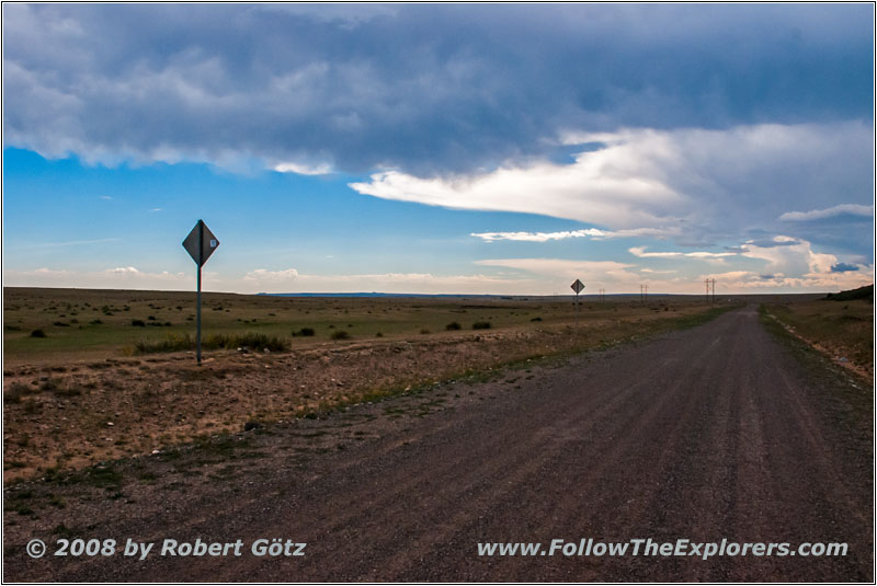
Highway 193, NM
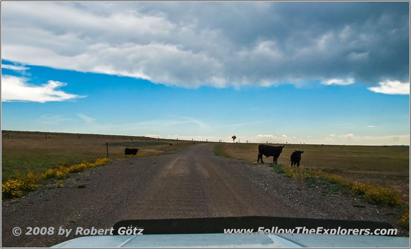
Cattle, Highway 193, NM
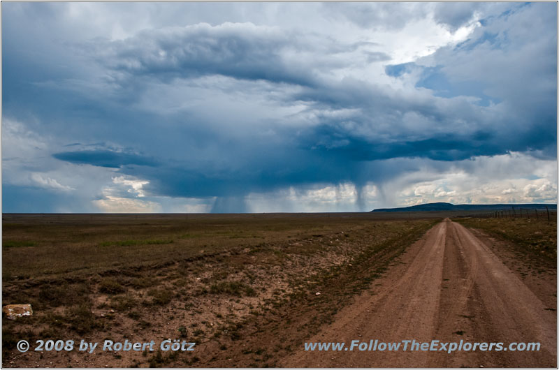
Thunderstorm, CR A37, NM
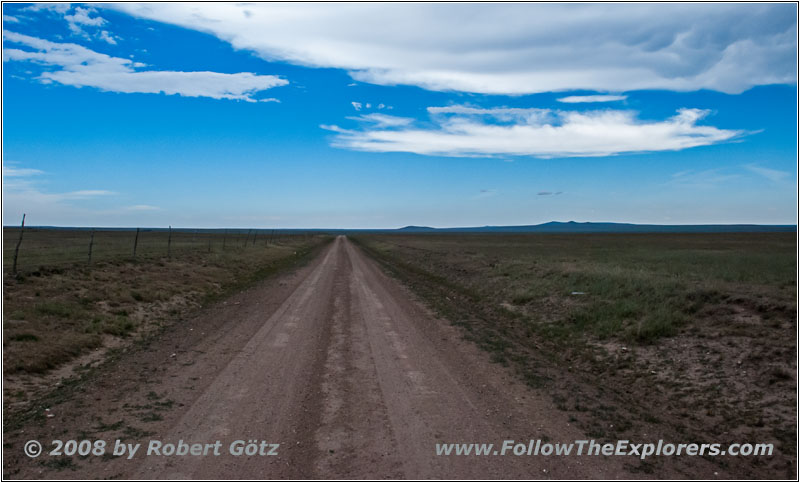
CR A37, NM
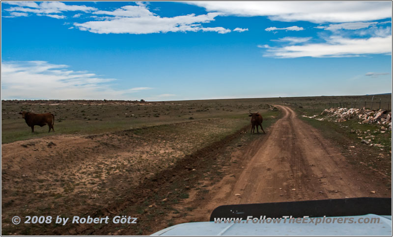
Cattle, CR A37, NM
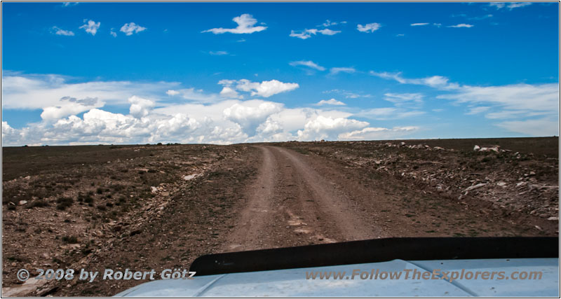
CR A37, NM
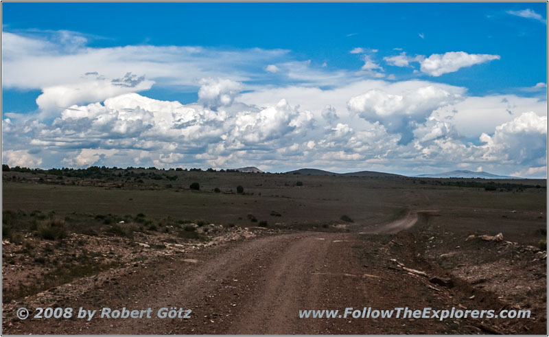
CR A37, NM
However, I turn onto CR A37 to be back on my originally planned route.
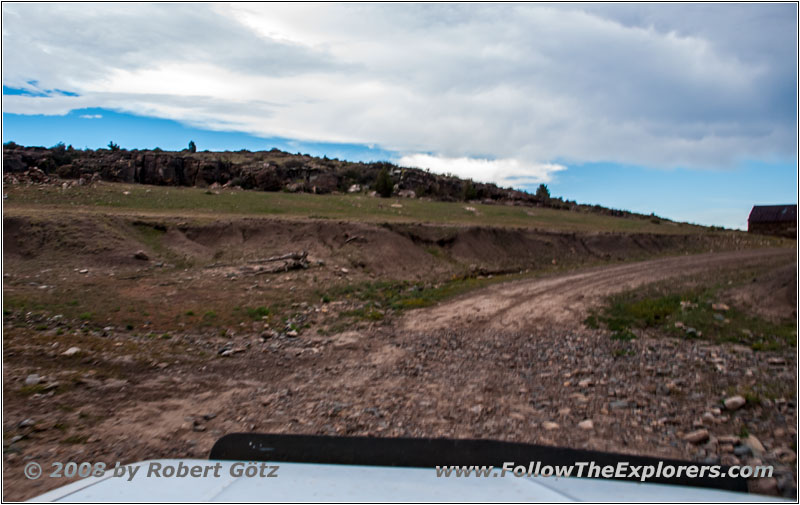
CR A115, NM
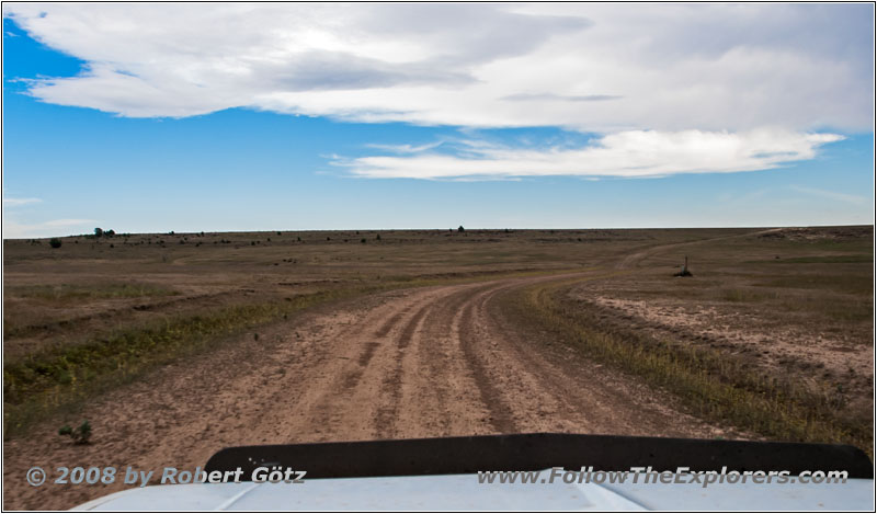
CR A115, NM
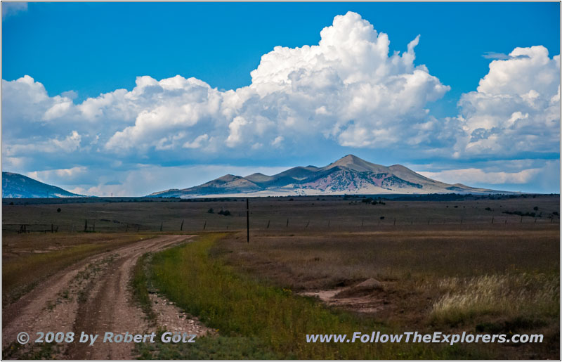
CR A115, NM
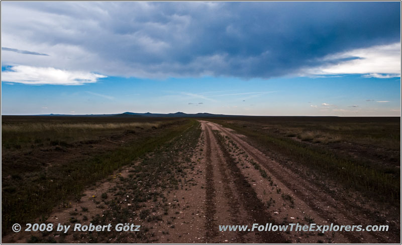
CR A115, NM
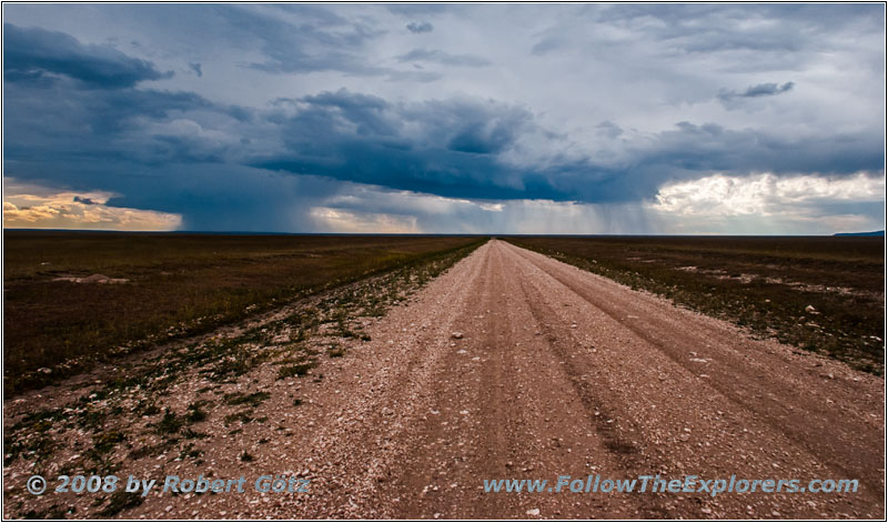
Thunderstorm, CR A001, NM
But also this does not really work out and so I am forced to drive a lot of detours. Additionally, the thunderstorm clouds are starting to cause me headaches — in both senses. But except for a few rain drops, nothing is reaching me yet.
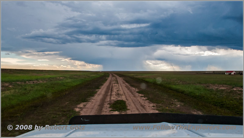
Thunderstorm, CR A001, NM
However, you can see lightning from the clouds down to earth from time to time.
Then I also hear the thunderstorm warning via the weather channel on my CB radio. After that I continue to Gladstone.
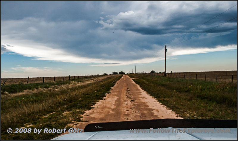
Thunderstorm, CR C006, NM
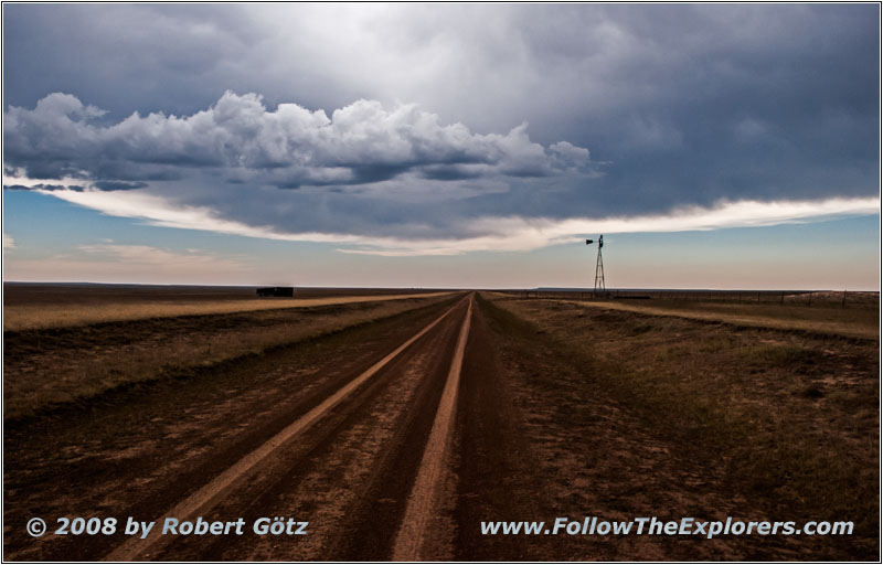
Thunderstorm, CR C006, NM
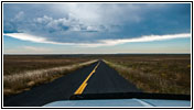
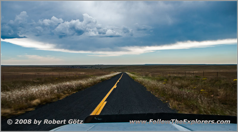
Thunderstorm, Highway 120, NM
The thunderstorm clouds are getting more and more threatening. But on CR 006 these clouds also offer a great picture with a wind mill.
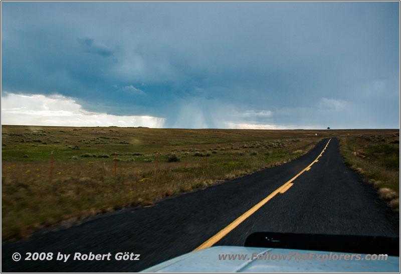
Thunderstorm, Highway 120, NM
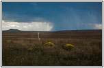
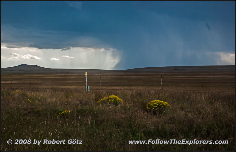
Thunderstorm, Highway 120, NM
At Highway 120 I originally planned to stop my trail for today and to drive to Clayton for the night. But because I am still pretty good in time I decide to follow Ute Creek a little bit further. Anyways, on the backroads I am stopped once again by private property. So I turn around and drive back to Highway 120. At least I have seen some lightning, which is also to see on my video taping!
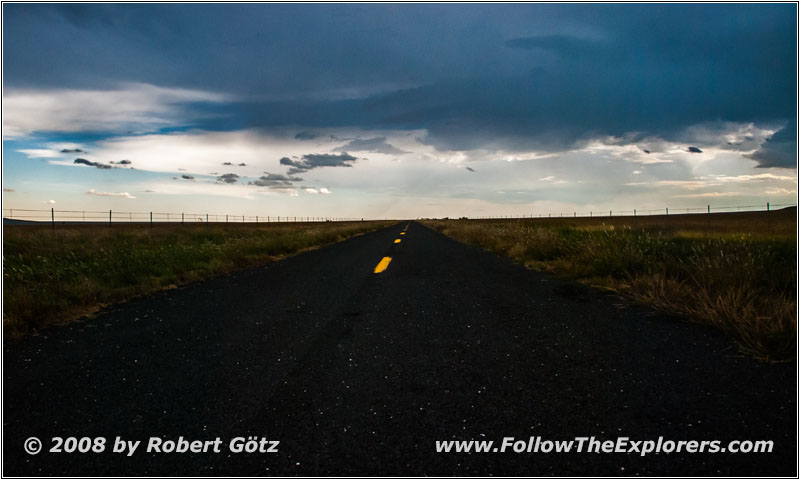
Thunderstorm, Highway 120, NM


Thunderstorm, Pronghorn, Highway 120, NM
Thunderstorm, Highway 120, NM
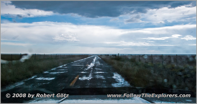
Thunderstorm, Highway 120, NM
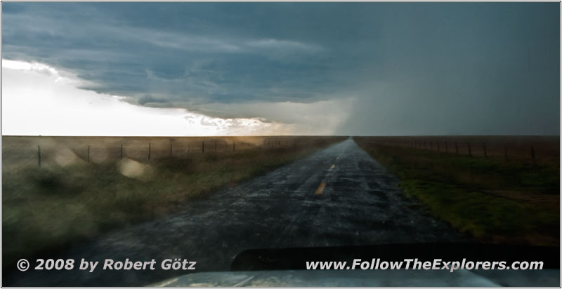
Thunderstorm, Highway 120, NM
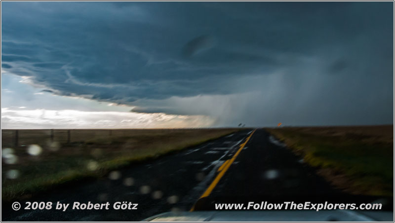
Thunderstorm, Highway 120, NM
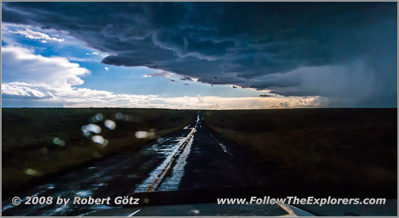
Thunderstorm, Highway 120, NM
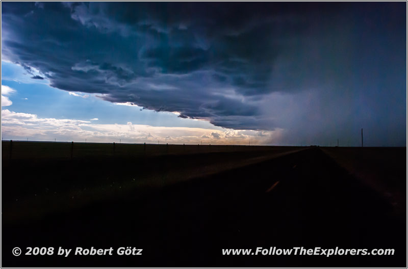
Thunderstorm, Highway 120, NM
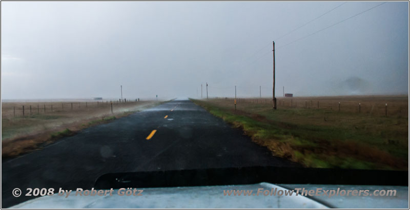
Thunderstorm, Highway 120, NM
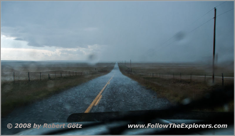
Thunderstorm, Highway 120, NM
On Highway 120 I continue in southern direction. Slowly the thunderstorm clouds are getting dangerously close and one lightning after the other hits the ground. Having a weather like this, I prefer not be on the backroads and it is better to stay on Highway 120 — lucky me!
Soon after, the thunderstorm catches me and from slight rain to hail and pouring rain I receive everything for the next couple of miles. The wind sometimes blows so heavily that is raining horizontal! There I don’t want to be on a gravel or loam road.
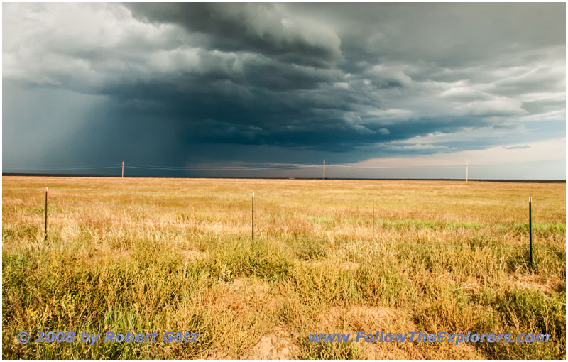
Thunderstorm, Highway 120, NM


Thunderstorm, Pronghorn, Highway 39, NM
Just before Roy, the rain slows down and I have plenty of sunshine! But behind me I still see the threatening thunderstorm clouds like a wall. At Roy I turn onto Highway 39.


Highway 39/Main St, Mosquero, NM
On this one I arrive pretty soon in Mosquero where I continue in direction of Logan.
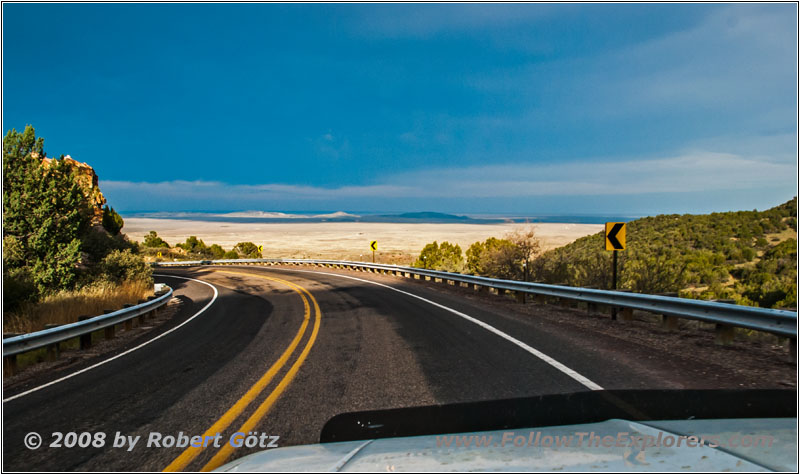
Highway 39, David Hill, NM
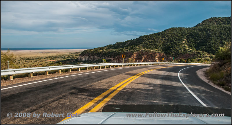
Highway 39, David Hill, NM
Then I drive down David Hill, which offers nice views of the plains from the road.
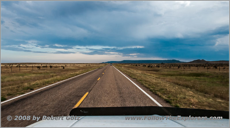
Highway 39, NM
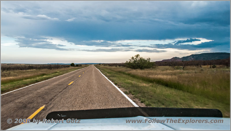
Highway 39, NM
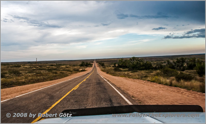
Highway 39, NM
At Ute Creek I originally planned to turn onto backroads again. But it is slowly getting too late and I am also not sure about the weather conditions. So I decide to stay on the highway.


Highway 54, Canadian River, Logan, NM
At Logan I turn onto Highway 54.
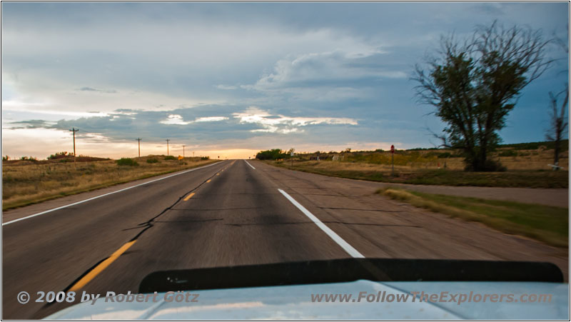
Highway 54, NM
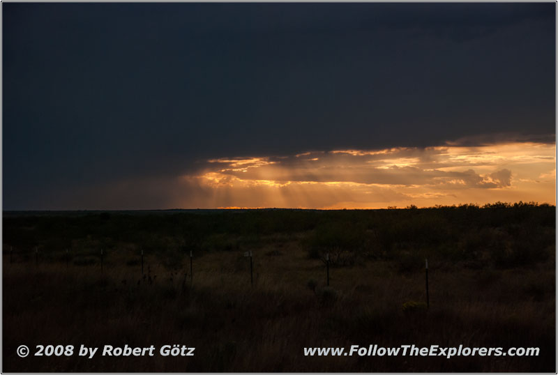
Sunset, Highway 54, NM
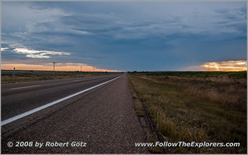
Sunset, Highway 54, NM
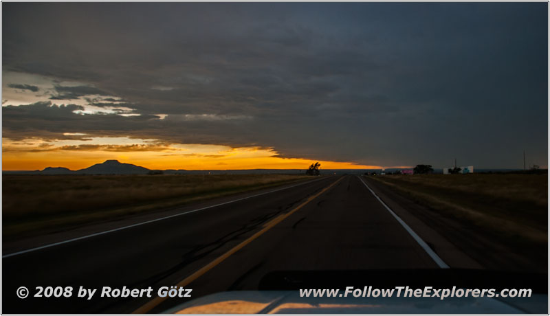
Sunset, Highway 54, NM
This one takes me to Tucumcari, which was originally planned for tomorrow. Now I have already gained two days! Let’s see what I can do with these extra days. Around half past six I check in. Again, I catch the peak waiting and must wait almost a quarter of an hour until it is eventually my turn. But behind me are still arriving guests. Therefore I skip my question for dinner recommendations. All in all, I have already seen signs for K–BOB’s Steakhouse.
I put my stuff into the room and check, where K–BOB’s is located. After I have typed in the coordinates in my GPS, I depart. Without any searching around I find the K–BOB’s. But unfortunately it is closed today! And beside this restaurant there is not much else to find in this small town. There are plenty of motels around — maybe because this is also part of the Historic Route 66 — but there is almost no place for dinner!
So I drive to Denny’s in my desperation — and being surprised positively! My server is very attentive and the food is very good! Around ten I pay and leave the restaurant completely full. Back in my motel, I first check my almost two hours of video taping. Then I write my diary and download my countless pictures from today. Around midnight I am eventually able to go to bed. Somehow I am not able to make it earlier anymore…
- Sights
- Capulin Volcano National Monument (Fee $5)
- General
- Breakfast: Piper’s, Raton
- Dinner: Denny’s, Tucumcari
- Motel: Motel 6, Tucumcari
- Distance: 236 miles
