Stephen H. Long Trail 1819 — 1820
Day 28: September 20th, 2008 La Junta — Raton
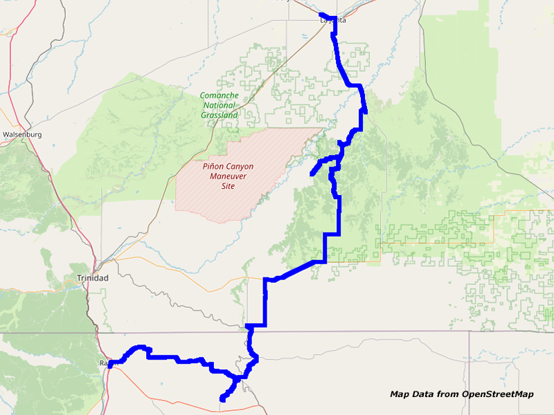
Map La Junta to Raton
This night my ear plugs really annoyed me for the first time. Around four in the morning I wake up and take them out. Unfortunately, I now wake up every hour when the train passes by. Finally, I get up just before seven. Then I have my breakfast again at the Village Inn.
Afterwards, I look for a gas station.


Highway 109, CO
Like yesterday, I drive on Highway 109 in southern direction first.


CR E, Plum Creek, CO


CR E, CO
Finally I turn onto the backroads, which should take me once again to the Picketwire and Chacuaco Canyon.


CR 177.9, CO


CR 177.9, CO
Someone has put an old railroad wagon on his property around here.


Backroad, CO


Backroad, CO


CR 177.9, CO


CR 177.9, CO
The first backroad ends after a short drive on a closed gate.


Cattle, CR_165.4, CO


CR 165.4, CO


CR 165.4, CO


CR 165.4, CO


CR 165.4, Chacuaco Canyon, CO


CR 165.4, Chacuaco Canyon, CO


CR 165.4, CO


CR 165.4, CO
But the second gate is open and there are also no “No Trespassing” signs to see. Therefore I pass this gate. The landscape is unbelievable beautiful. From the road you have fantastic views of the canyon landscape around. First I pass a farm, where no one is to see. Then I continue in the direction of the canyon. Suddenly I see an approaching truck behind me. Because he is way faster I give him room to pass.
But he stops and wants to know, what I am doing here. I tell him about my historic trails and realize, that he is really mistrustful. Only after handing him over one of my business cards, he starts to open up. He tells me, that the army tries to take away property from the ranchers around here and these guys are driving around with white trucks to explore the area. And they also take pictures of the area.
We really have a deep conversation about this topic. Also the signs “Land is not 4 sale” along the road developed to be a real fighting slogan for all the ranchers around here. He, Steve, is the vice president of this ranchers union. I show him on my map, where I planned to travel. But he tells me, that I am also not able to drive the other road. And on the way south on CR177.9 lives a rancher who is much more mistrustful than he is regarding foreigners traveling on his property. If this guys realize that I get out of my truck to take pictures or do video taping, I have good chances that he will call the Sheriff!
Well, when you hear what they are doing with the ranchers around here, you can almost understand this. His family lives here since 1860, whereas they first had property in the area of Famous in New Mexico. Then they moved further up north and finally bought this property in 1928. This property only had two pre–owners, who where descendants from the Spaniards.
So, here is true history involved. An old building from this time is already restored. When I suggest that they should do something with more publicity, he explains that they are already working on something like this. Next week, some archaeologists and conservationists are coming to take a look at the area. Also the state of Colorado positioned himself against the military.
Even within the military are voices, who say, that they don’t really need this area for combat training. When saying good–bye, he gives me his web address, phone number and email. I promise to take a look at his web pages and to send him an email and also to write about his fight on my this years journey description and to link it. Then I leave to drive deeper into his property on this dead end road.


CR 165.4, CO


CR 165.4, CO


CR 165.4, CO


CR 177.9, CO
On my way back, he waves to me. So I turn around again to say another good–bye. There I have the chance to meet his wife Joy and a friend. Then I drive on back to the main road.


CR 177.9, CO


CR 177.9, CO


CR 177.9, CO


CR 177.9, CO


CR 177.9, CO


CR 177.9, CO


CR 177.9, CO


CR 177.9, CO
This stretch of CR177.9 has really awesome views of the canyon. I would have loved to stop and get out of my car for some pictures and video. But unfortunately I am not able to see the property owner anywhere. Therefore I hold on to the advice from Steve and just drive on.


CR 44, CO


CR 44, CO


Cattle, CR 44, CO


CR 44, CO
On CR179 and CR44 I continue my journey and pass Villegreen, which seems to be just one farm house.


CR 173, CO


Highway 160, CO
Finally I reach Highway 160. The clouds are not really looking very promising. In the mountains, there is already rain. While I had temperatures around 95 degrees in the canyon, the temperature around here has dropped to 60 degrees! This is really an extreme temperature drop!


Highway 160, CO


Highway 160, CO


Highway 160, CO


CR 147, CO
After driving on the highway for a short amount of time, I turn onto CR147.


CR 147, CO


CR 147, CO


CR 147, CO


CR 147, CO


Pronghorn, CR 147, CO


CR 147, CO


CR 147, CO


CR 147, CO
There I finally catch some drops of rain. But it is not really starting to rain.
Finally I reach Branson and also Highway 389.


Highway 389, CO


Highway 389, State Line CO and NM
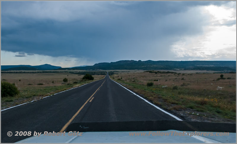
Highway 551, NM
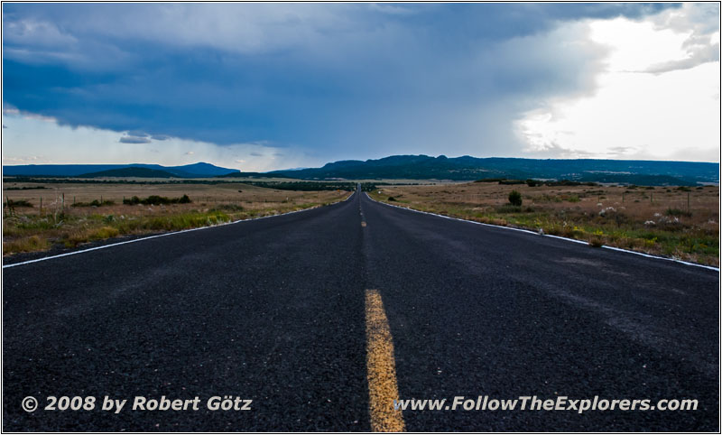
Highway 551, NM
On this one I cross the state line to New Mexico.
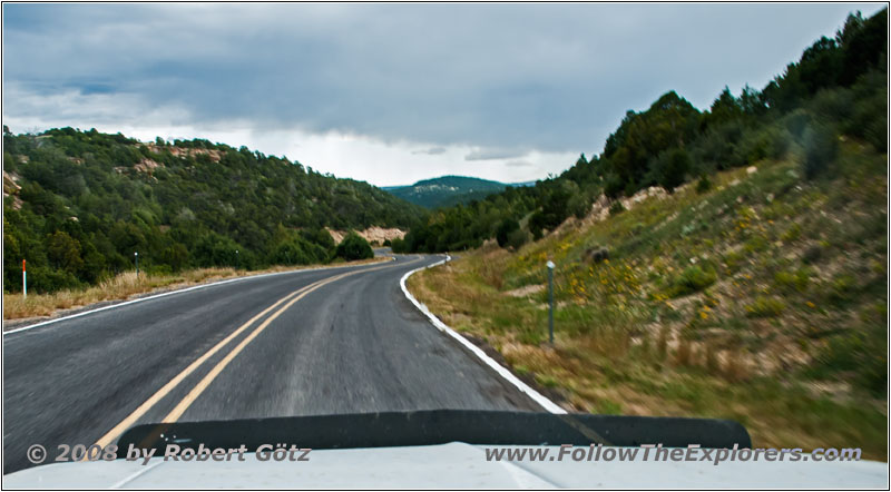
Highway 551, Tollgate Canyon, NM


Highway 551, Historical Marker Tollgate Canyon, NM
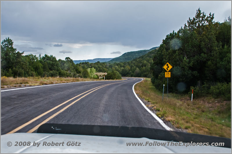
Highway 551, Tollgate Canyon, NM
In Tollgate Canyon, I almost miss the Historical Marker. The road from the highway to the marker is close to what a regular passenger is able to drive on! But for me it is no problem. I take some pictures and video from the marker. Then I drive on.
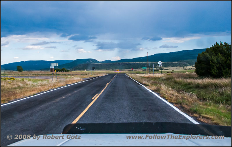
Highway 551, NM
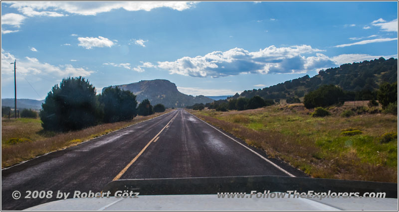
Highway 456, NM
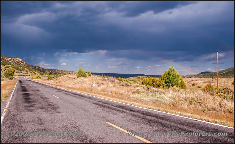
Rainbow, Highway 456, NM
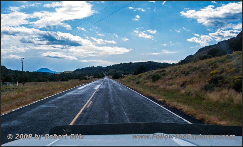
Highway 456, NM
Here, the road is now completely wet. It looks like it had rained heavily before. Behind me I also see a nice rainbow. For a short distance I also drive through light rain while having plenty of sunshine. Then everything is over again. Only on the road are some puddles, where the water has collected.
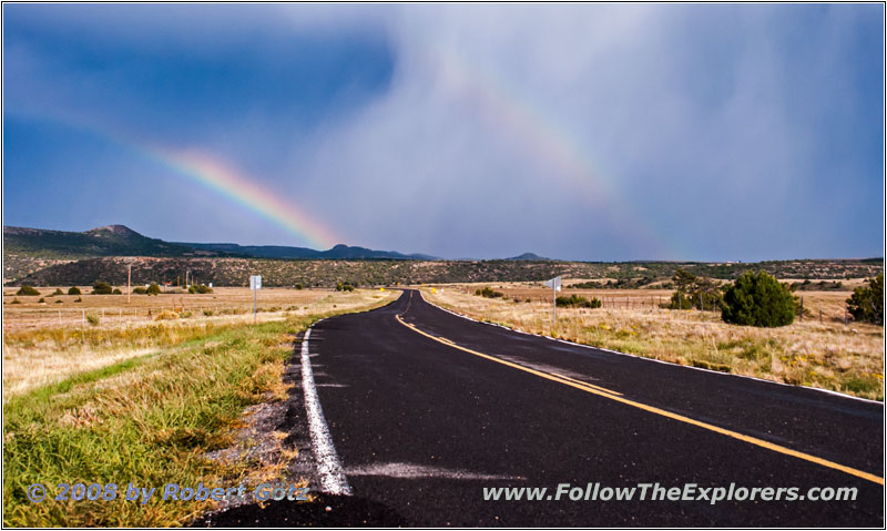
Rainbow, Highway 325, NM


Pronghorn, Rainbow, Highway 325, NM
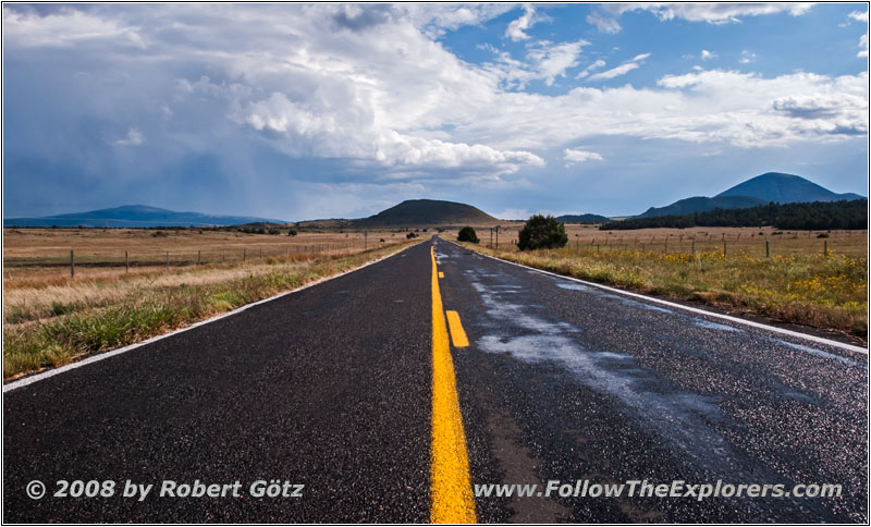
Highway 325, NM
Finally I arrive at Folsom. Because I am still good in time, I switch my tour a bit and drive today to Capulin Volcano. On this road, I have the chance to catch a nice rainboW!
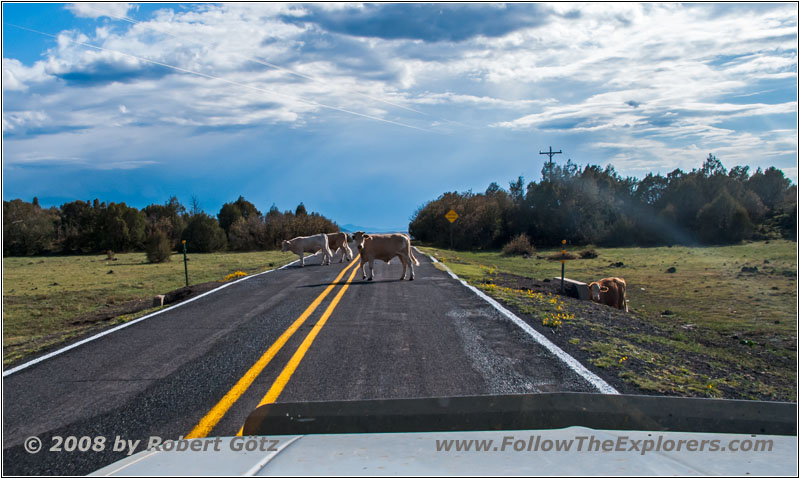
Cattle, Highway 325, NM
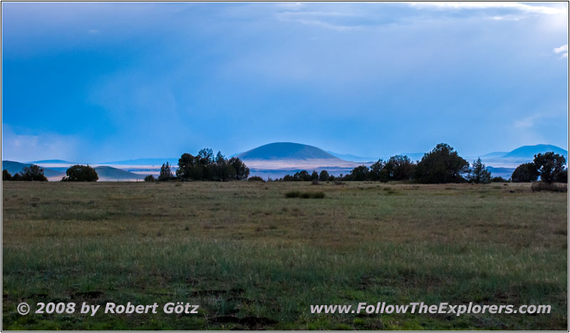
Volcano Rd, NM
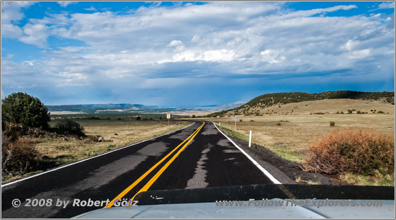
Highway 325, NM
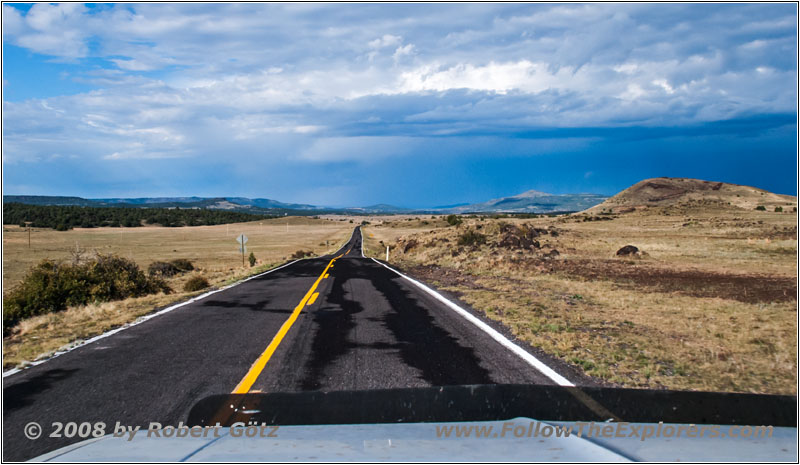
Highway 325, NM
But as I suspected it, Capulin Volcano is already closed for today.
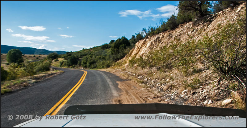
Highway 72, NM
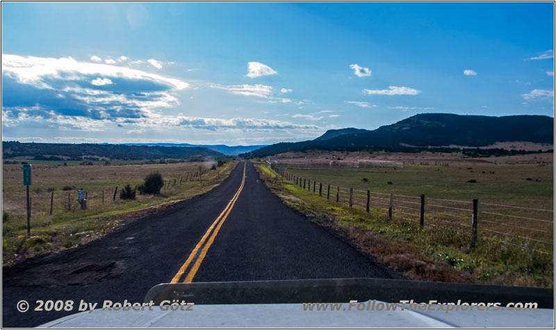
Highway 72, NM
So I drive back to Folsom and take from there Highway 72 in direction of Raton.
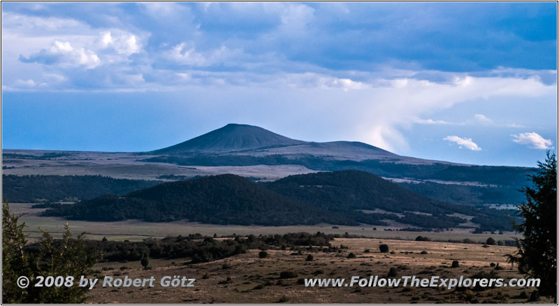
Highway 72, NM
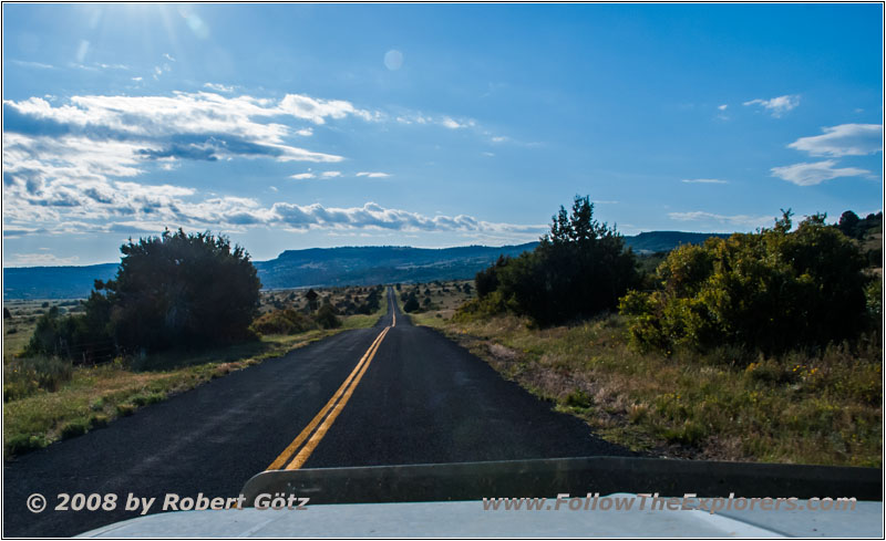
Highway 72, NM
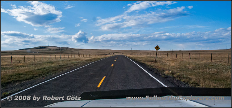
Highway 72, NM
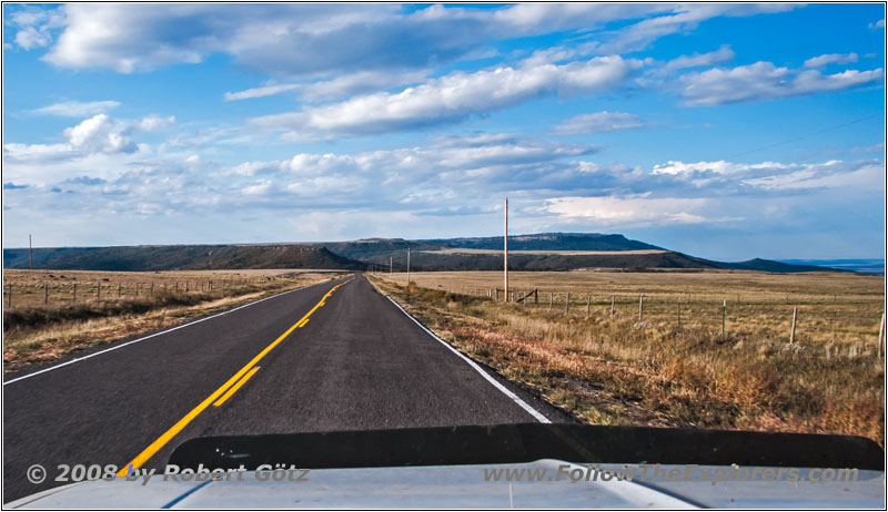
Highway 72, NM
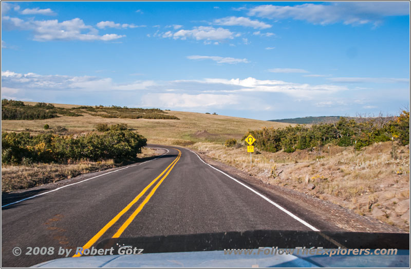
Highway 72, NM
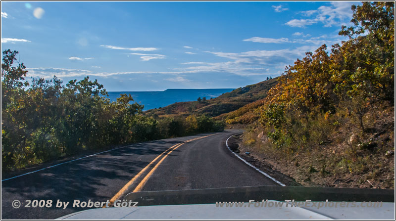
Highway 72, NM
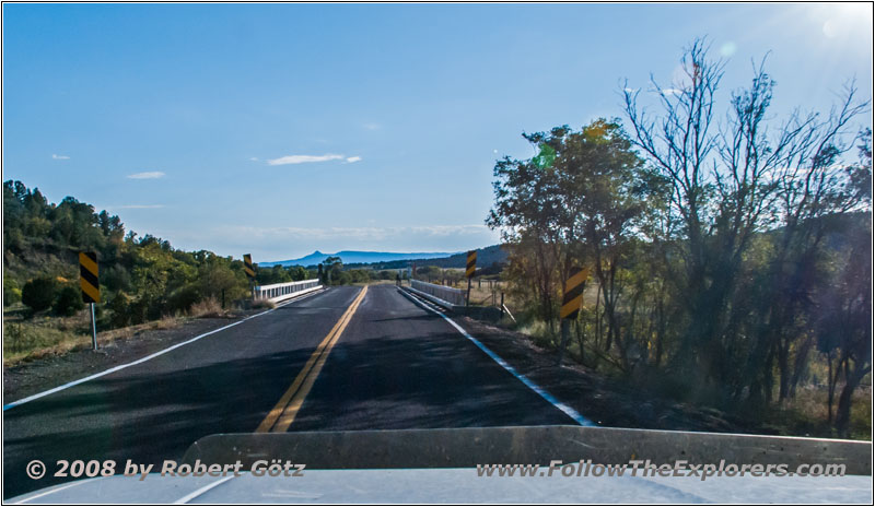
Highway 72, NM
There I have again the chance for some nice shots of the area. The leafs are changing their colors to autumn and offer a nice play of colors.
Finally I arrive at Raton. On I–25 I drive one exit to the south. There I reach my destination of today, the Motel 6. On the Interstate I also saw a sign for the K–BOB’s Steakhouse. This was the other steakhouse, which I wanted to tell Harv about, but which name I didn’t remember.
At the motel I first check my video taping of today. Then I leave for dinner. The service at the restaurant is not very quick. But the food is really okay. What I am really amazed of is, that the filet costs the same as the sirloin. Therefore I take the filet.
Here you must get yourself a salad at the salad bar, which I don’t really like. The filet also takes his time. But this doesn’t really bother me. All in all, I have plenty to read with me. When I have finished my dinner I receive my check after quite a waiting time.
At the cashier, they also directly put the tip on the bill. Then I drive back to my motel. Just across the restaurant, there is also a Kmart. There I will stop by tomorrow to look for some drinking water. There is also a Shell around, which is 5 Cents cheaper than the one close to the Interstate. Only for breakfast, I have not made my decision yet. There is a restaurant close to the motels. But there is also a Denny’s in the area. Let’s see, what they will recommend tomorrow for me. Back in my room, I quickly write my diary and listen to another CD. Then I go to bed…
- Sights
- Tollgate Canyon (free)
- General
- Breakfast: Village Inn, La Junta
- Dinner: K–BOB’s Steakhouse, Raton
- Motel: Motel 6, Raton
- Distance: 188 miles
