Wilson Price Hunt Trail (‘Astorians’) 1811 — 1812
Day 22: September 3rd, 2006 Pocatello/Chubbuck — Twin Falls
Because there is another Denny’s just across the Interstate, I have breakfast there. The service and food is again really good. Then I pay and drive over to Wal–Mart. I am running out of video tapes and I would like to stock up my supplies. Unfortunately I am not able to find any Panasonic tapes. Therefore I take the Sony this time. Because I am already in the radio corner, I also buy three good CDs. Just past ten I pay and drive over to the next gas station.
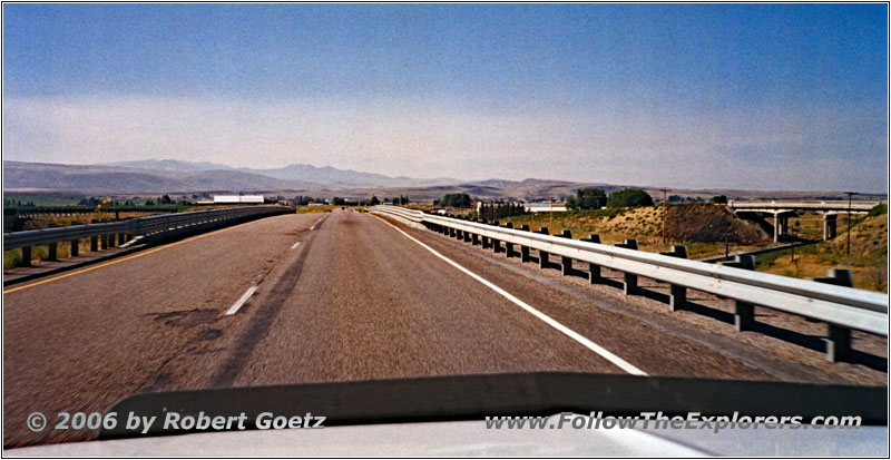
I–86, ID
Around a quarter past ten I am back on the road. First I take the Interstate back to American Falls.
There I follow the Snake River northern banks. Soon the paved road turns into gravel and develops to a real offroad trail later. In some areas I am not even able to proceed with 5mph due to all the stones. My transmission reaches worrying 220 degrees. But this is still way better than in the past where it ran up to 300 degrees. But it is not really surprising considering the outside temperatures at my car being around 140 degrees!
Now I wish to have my 4LO. But I hope at least my 4HI will survive. If my little truck breaks down here in this area, I am really screwed…
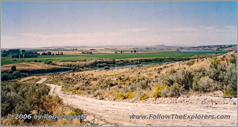
Backroad, Snake River, ID
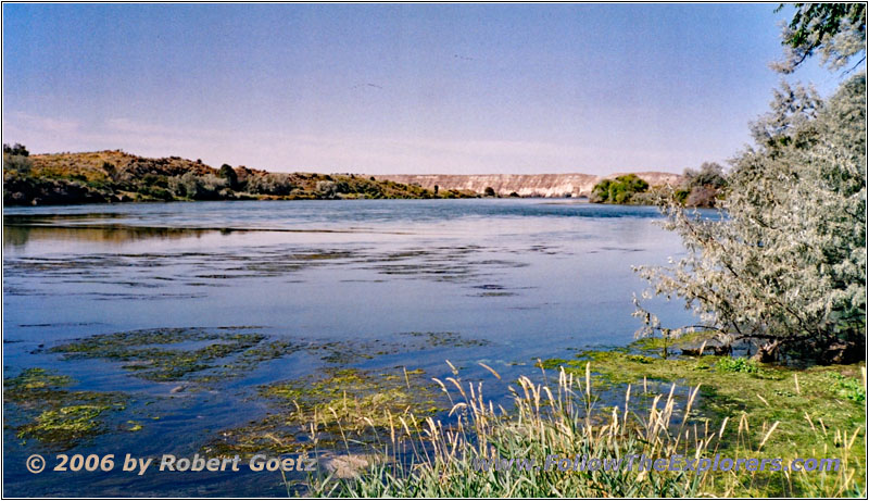
Snake River, ID
I use the opportunity for a brief side trip down directly to the river for some video taping.
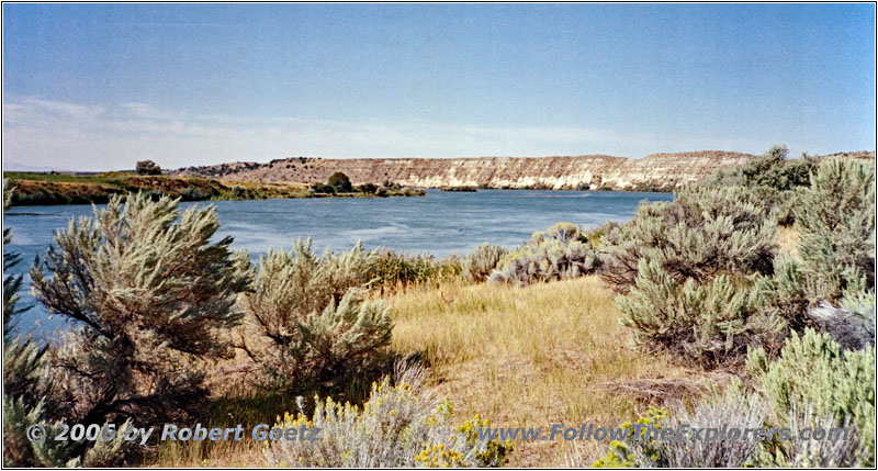
Snake River, ID
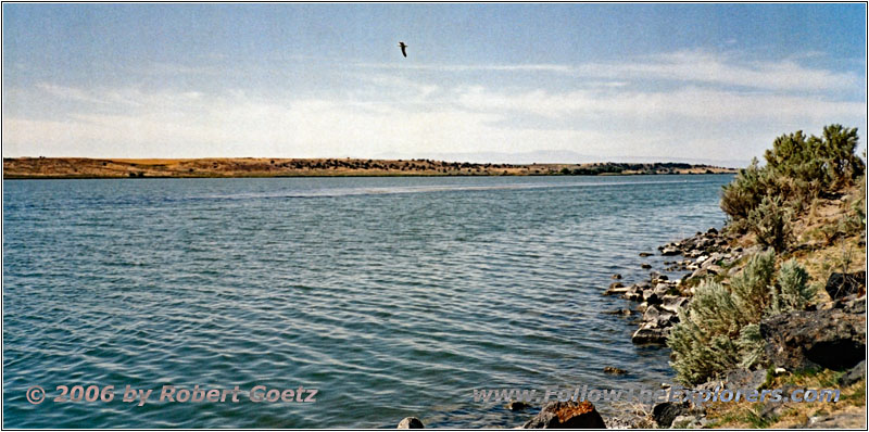
On another side trip down to the river I see a small dinghy. While I video tape the wild goose another car arrives — the owner of this dinghy. They live in this area and they always row over to the small island in the middle of the river. He gives me the hint to also take the offroad trail a little bit further to the west. But this was my plan anyway. This is one of the rare Oregon Trail segments, which are still original.
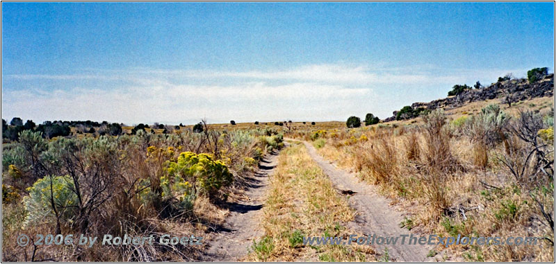
Lake Channel Rd, ID
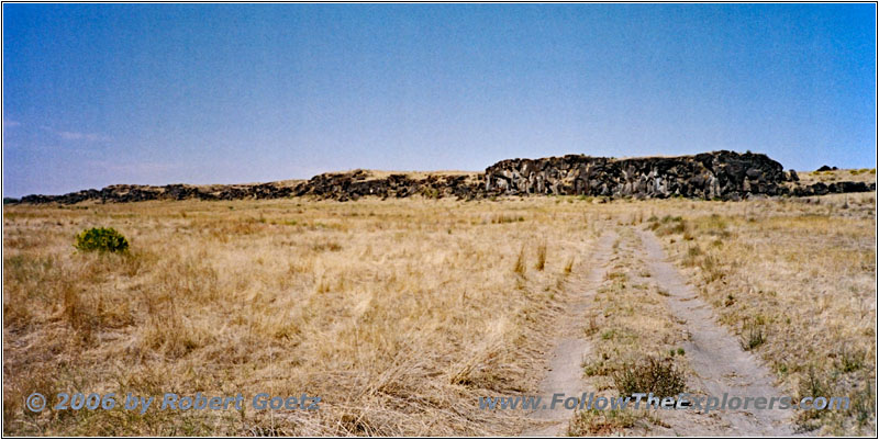
Lake Channel Rd, ID
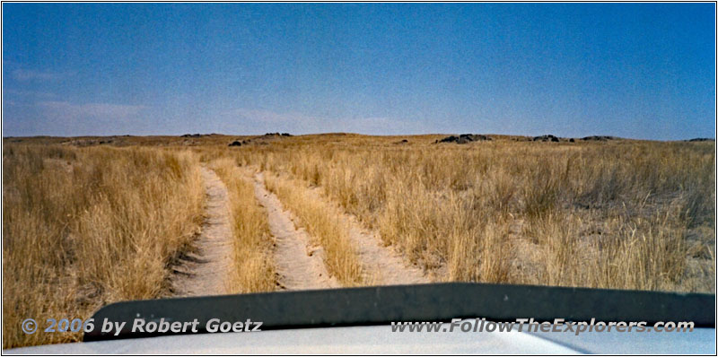
I say thank–you for this information and depart. First the road is still paved. But then I drive first on a bigger gravel road before I take another offroad trail after a short drive on this gravel road. There you really need ground clearance to work your way through. And also 4WD, because the soil is getting more sandy.
Snake River, ID
Backroad, ID
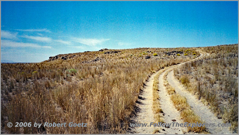
Backroad, ID
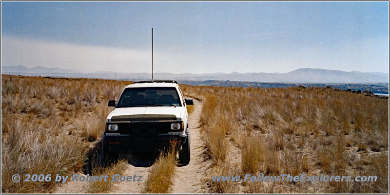
88 S10 Blazer, Backroad, ID
After a long drive I reach the road to another side trip down to the river, which really invites for a lunch break. However, I am surrounded by some cows and — which is really bad — a lot of mosquitoes as soon as you get a little bit closer to the river banks. Therefore I make this lunch break as short as possible. Then I continue my drive.
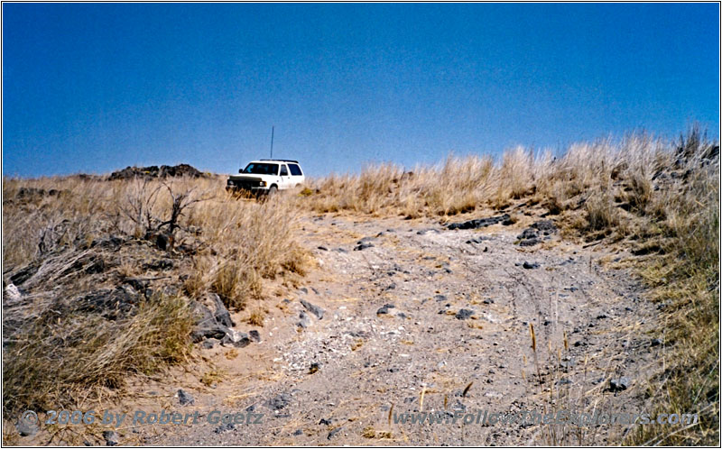
88 S10 Blazer, Backroad, ID
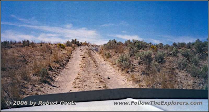
Backroad, ID
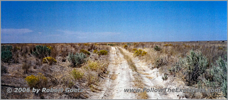
Backroad, ID
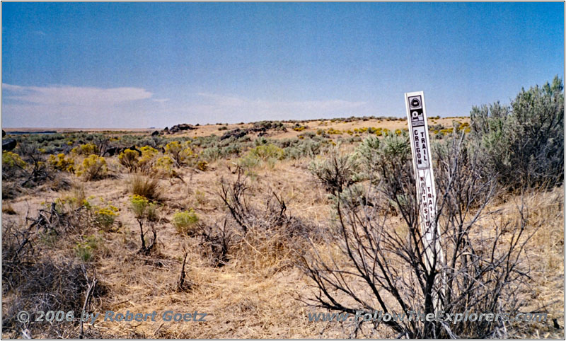
Oregon Trail Marker, ID
This road is still a real offroad trail. I also find an Oregon Trail Historical Marker.
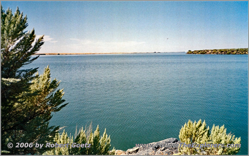
Snake River, ID
Again there is an opportunity to drive down to the river. Then I drive back to the main route. Just past entering the main route, a Ranger approaches me, which I friendly greet. Then I continue slowly.
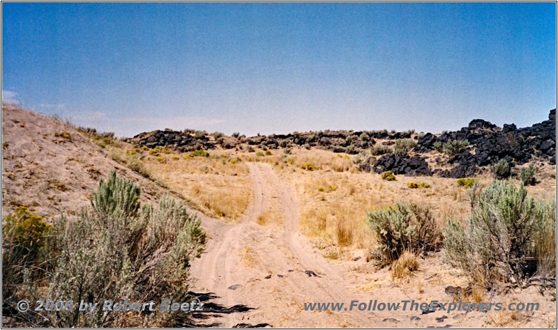
Backroad, ID
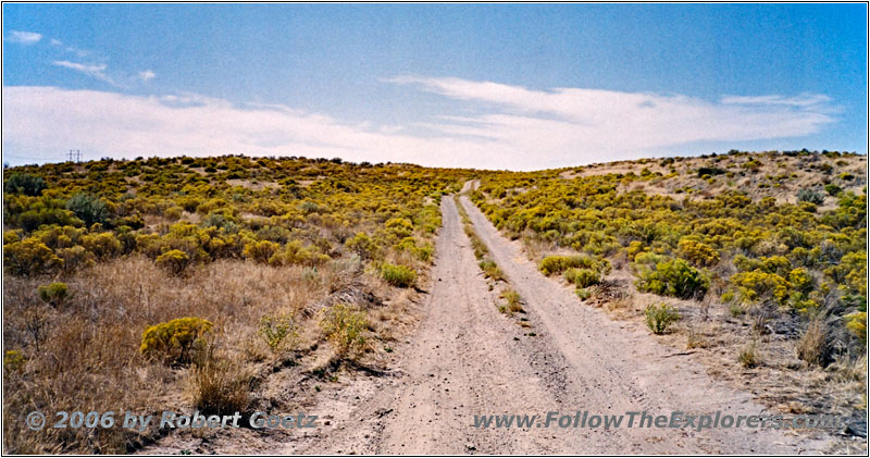
Backroad, ID
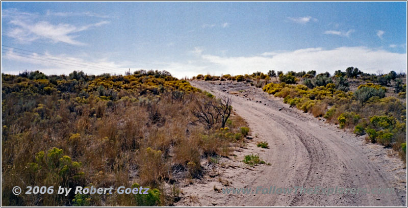
Backroad, ID
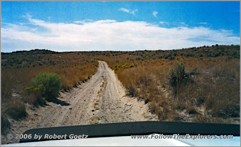
Backroad, ID
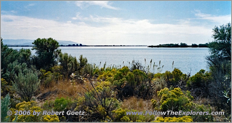
Lake Walcott, ID
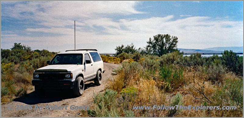
88 S10 Blazer, Backroad, ID
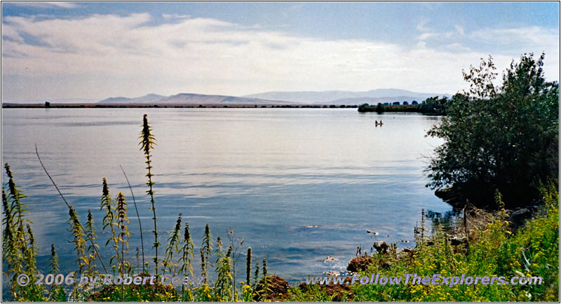
Lake Walcott, ID
The views down to the river are really great from here. I make another stop at the picturesque Lake Walcott. There I have the chance for some real nice video shots of cranes.
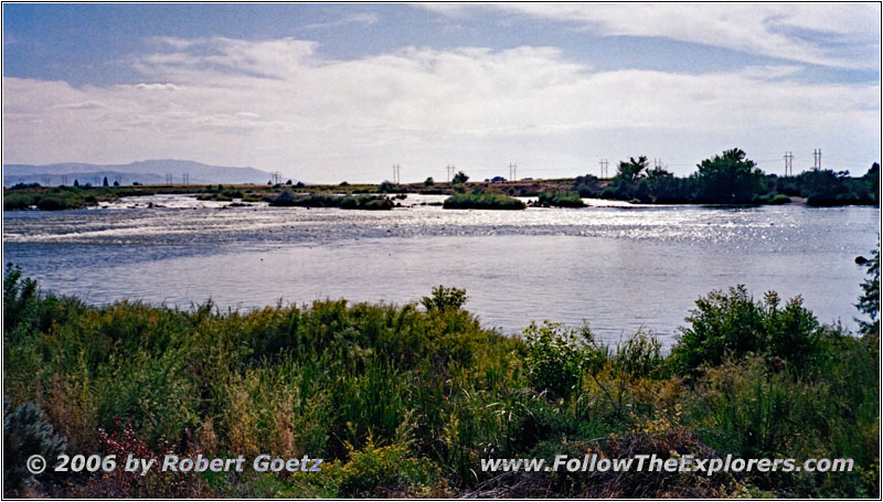
Minidoka Dam, ID
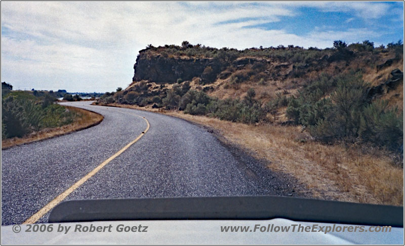
300 N, Snake River, ID
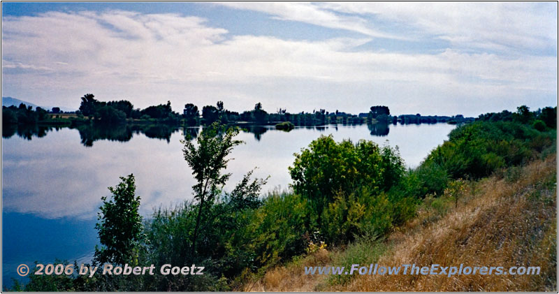
300 N, Snake River, ID
Almost way too fast I reach the end of this road and the Minidoka Dam.
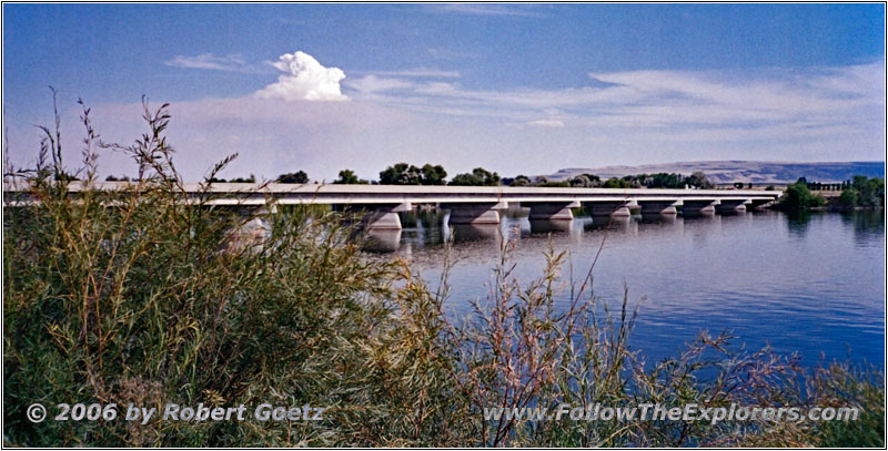
Highway 25, Snake River, ID
Now I continue on pavement. While driving on the highway I turn on my air condition for the first time, because the heat is getting almost unbearable, Only for a quarter of an hour, just to cool down a little bit. Despite the bad roads, I still made good progress. Also due to driving now on pavement, I am already two hours ahead of my schedule. This is good, because I must combine two day trips to one today.
I pass Heyburn, which was my original destination for today.
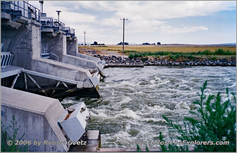
Milner Rd, Snake River, ID
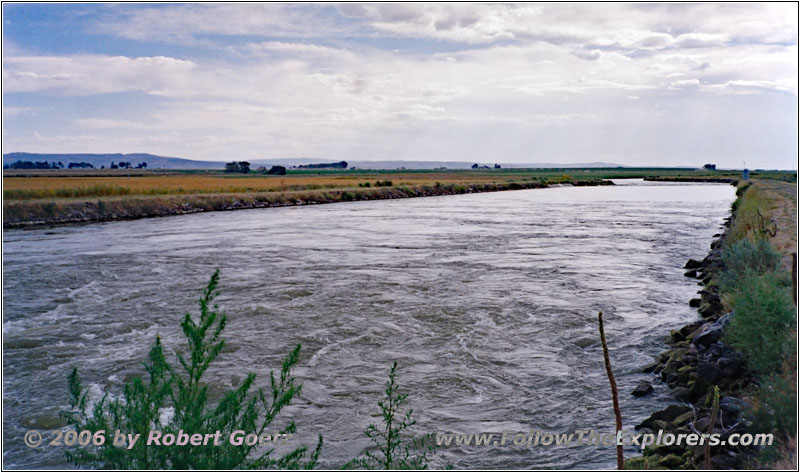
Milner Rd, Snake River, ID
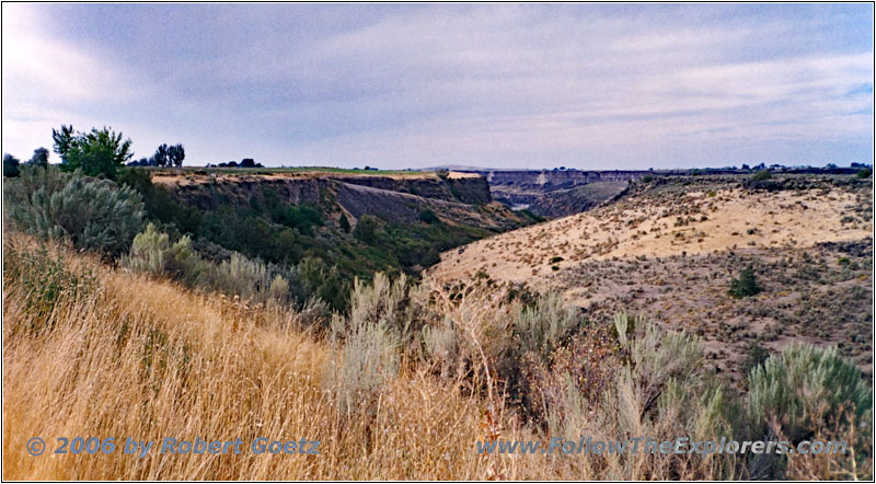
Then I reach Milner Dam on backroads. Hunt made also a stopover here. Therefore I also take some pictures and video from this area.
Snake River, ID
First I continue on gravel, then again on pavement in direction of Murtaugh.
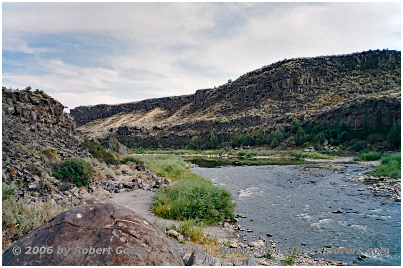
At Murtough I cross the Snake River and visit the Caldron Linn Canyon, which is a picturesque canyon.
Snake River, ID
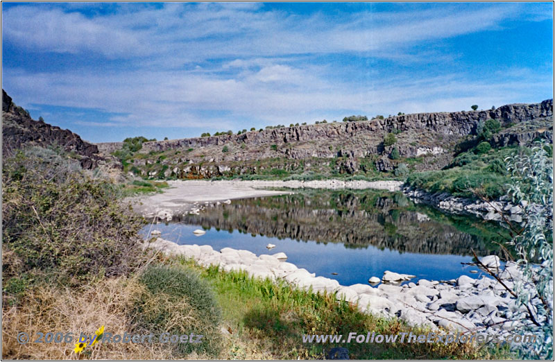
Snake River, ID
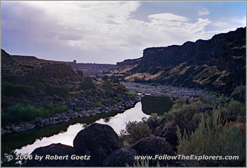
Snake River, ID
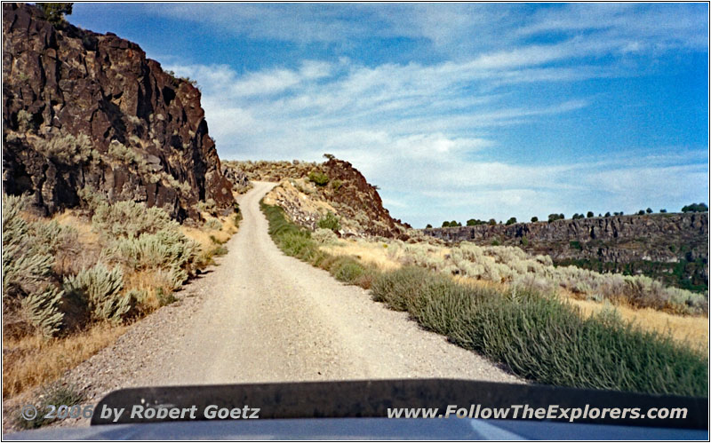
Cauldrin Lin Rd, ID
Unfortunately I am already so late, that I am not able to spend as much time here as I would like to. After a couple of pictures and video of the canyon and the river, I drive back to the main road.
Again, I cross the Snake River and drive back to Murtaugh.
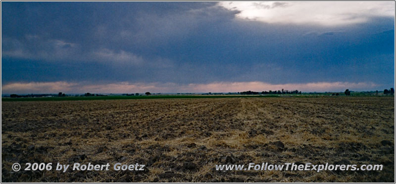
N 3800 E, ID
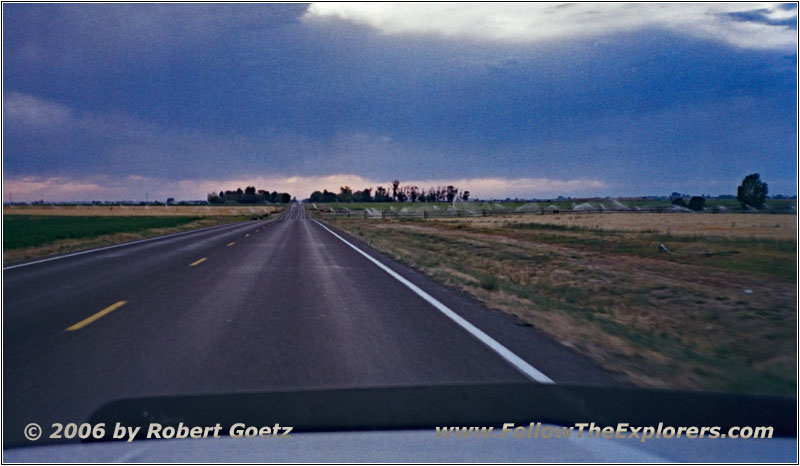
E 3900N Rd/Addison Ave, ID
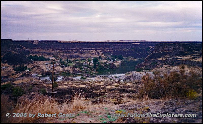
Shoshone Falls, ID
Then I follow the Snake River canyon on the south rim. Finally I reach the exit to Shoshone Falls. But in the meantime the whole falls are laying in the shadow. Because this park has also an entrance fee, I shift the visit to tomorrow.
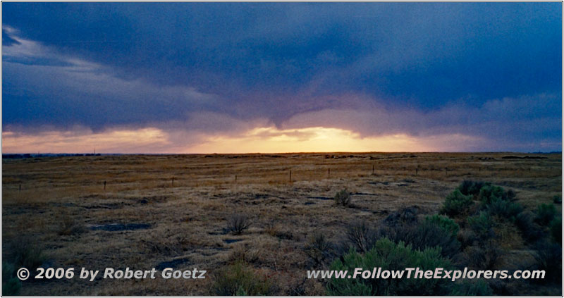
Sunset, Backroad, ID
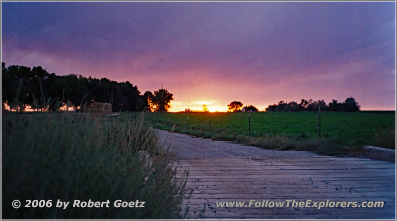
Sunset, Backroad, ID
Sunset, Backroad, ID
Sunset, Backroad, ID
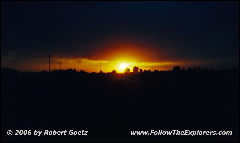
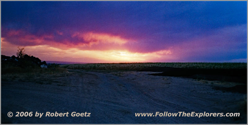
On backroads I reach Highway 93. On this one I cross the Snake River, because I assume the Motel 6 is located on the north side. After wandering around for a while and video taping a picturesque sunset, I find the motel directly within the city limits of Twin Falls. Due to all this searching around I have lost so much time, that I check in not until half past eight.
Indeed, I receive a room at first floor. But some idiot is parking again in front of my room door. Because I am not in the mood to pack everything together and carry it for a big distance, I just stop in the second row and put my stuff into the room.
Then I immediately leave for dinner. While I was searching for my motel, I already found an Outback Steakhouse, where I will have dinner now. My server Karin is totally excited about my trails and we chat for a while. Around a quarter to ten I pay and drive back to my motel. Because it is already very late, I only check part of my video taping of today. Again, there was no parking close to my door, when I returned. That will be really funny tomorrow when loading up my truck…
- Sights
- Caldron Linn Canyon
- General
- Breakfast: Denny’s, Pocatello/Chubbuck
- Dinner: Outback Steakhouse, Twin Falls
- Motel: Motel 6, Twin Falls
- Distance: 179 miles
