John Colter Trail 1807 — 1808
Day 33: September 15th, 2005 Billings (Pryor Mountains)
Today will be the last offroad day for this year. But first I will drive “onroad” to Cracker Barrel. There I receive an absolute fantastic service. Around half past nine I pay and drive over to the next gas station.
Around a quarter to ten I drive on I–90 and to Highway 416.
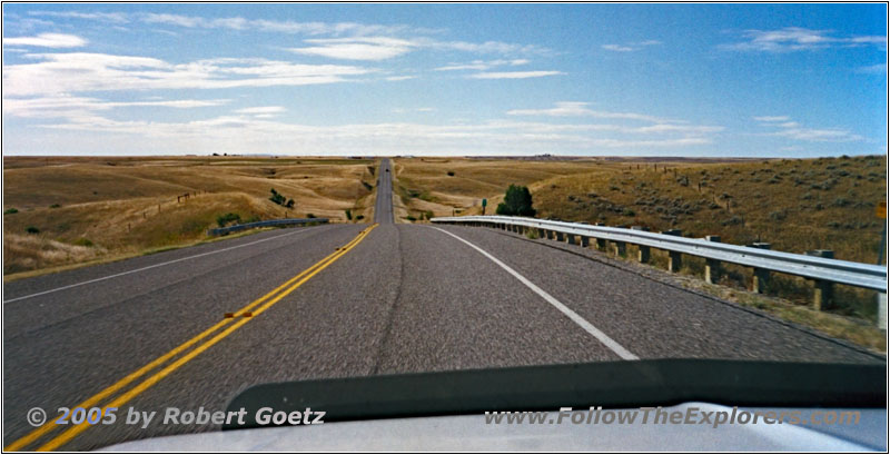
Highway 416, MT
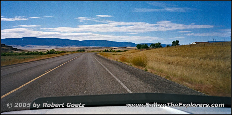
Highway 418, Pryor Rd, MT
On this highway I continue to Highway 418, also known as Pryor Rd.
Pryor Gap Rd, MT
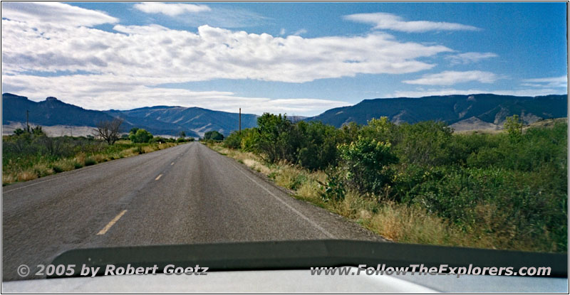
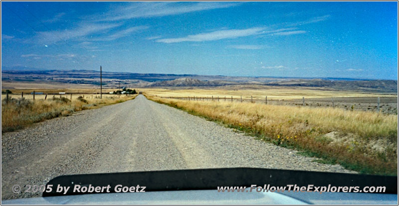
I follow this road to Pryor, where I turn onto the Pryor Gap Rd. Now I am eventually able to drive this road, which I was not able to drive on my way to Red Lodge last time due to lack of time. First I am driving on pavement. But as soon as the mountains get closer, the road changes from pavement to gravel. On this one I drive to the foot of the mountains, where another private property sign stops me.
E Pryor Rd, MT
So I have no other choice than to turn around and to drive back to Pryor. There I turn onto the gravel road to Edgar again, like a while ago on my way to Red Lodge. My plan is to circle around the mountains and to approach them from the south to get as far as possible into the Pryor Gap.
At Edgar I reach Highway 310.
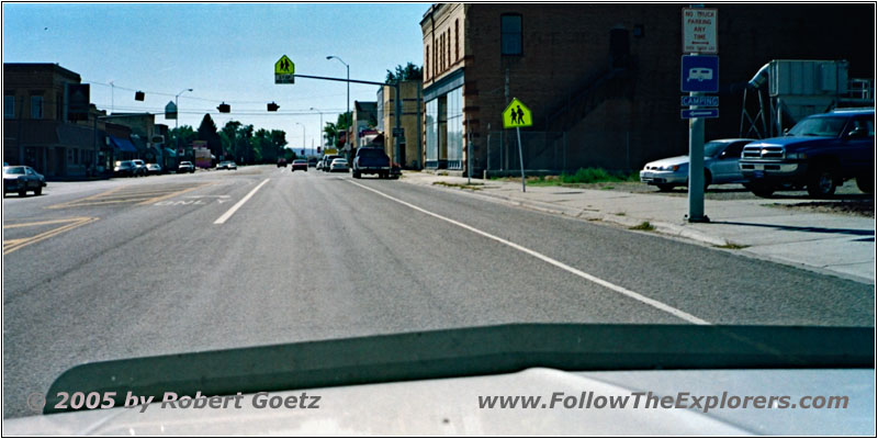
Highway 310, Bridger, MT
On this highway I drive through Bridger and a road construction, which starts just past town.
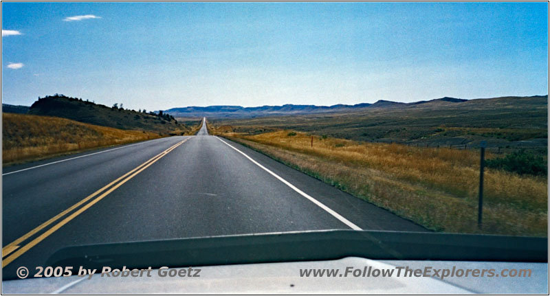
Highway 310, MT
At Warren I turn onto the gravel road, which should take me to the south end of Pryor Gap. Now I follow the trail of John Colter back from the Yellowstone area. The road runs first along the foot of the Pryor Mountains with nice views of the plane and the mountains.
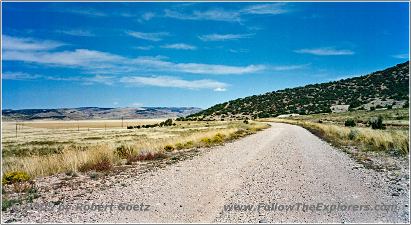
Railroad Grade Rd, MT
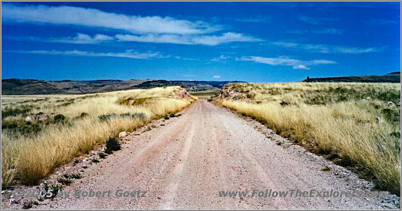
Railroad Grade Rd, MT
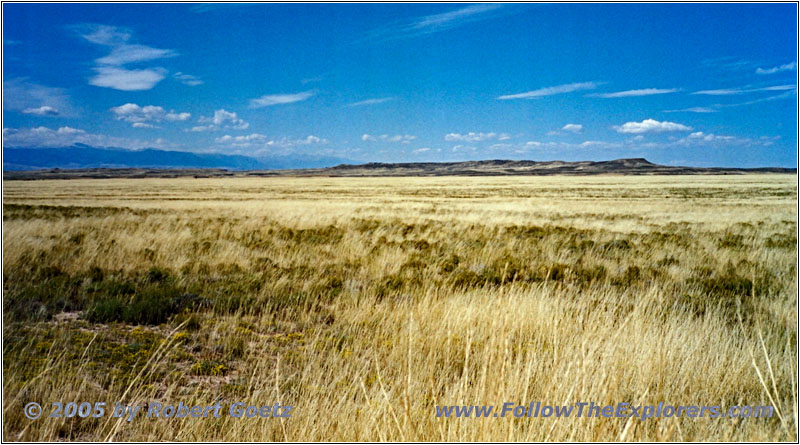
Railroad Grade Rd, MT
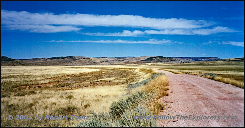
Railroad Grade Rd, MT
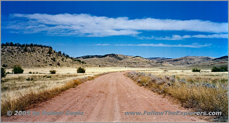
Railroad Grade Rd, MT
Then I reach the branch to the north into Pryor Gap. Because there are no signs prohibiting to travel, I drive into the Pryor Gap.
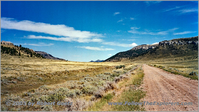
Pryor Mountain Rd, MT
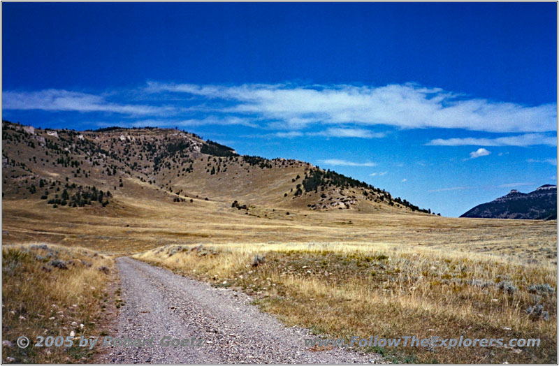
Pryor Mountain Rd, MT
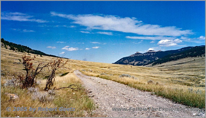
Pryor Mountain Rd, MT
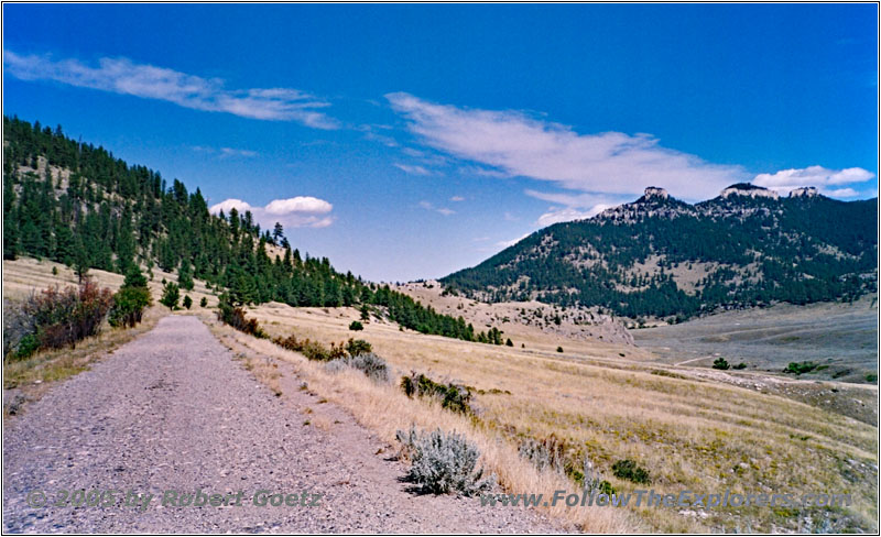
Pryor Mountain Rd, MT
The gravel road is in a pretty bad condition, forcing me to go as slow as 10mph. Finally I reach the point, where once again a Private Property sign stops me from progressing. I take a look at my map to figure out where I approximately am. To my surprise it looks like, that there is just one property with a travel length of a half or one mile which blocks the drive over the mountains. Why are they doing this…
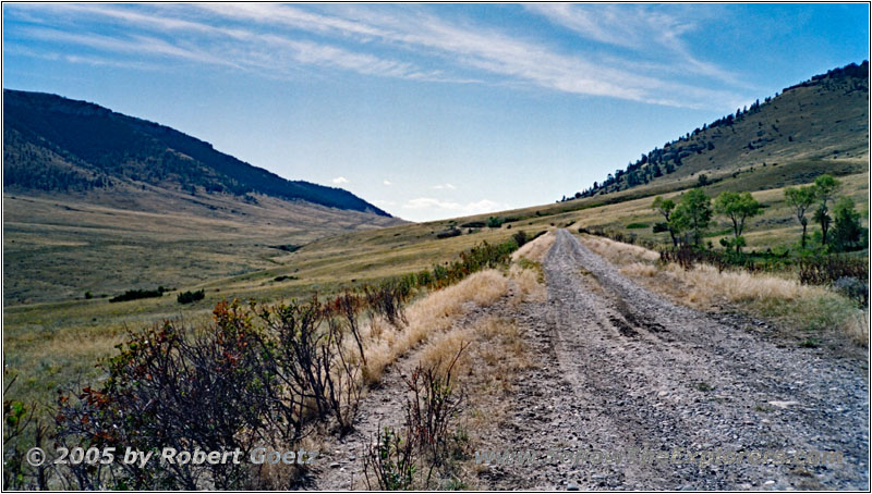
Pryor Mountain Rd back, MT
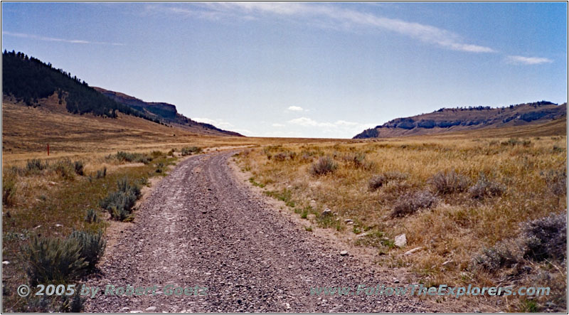
Pryor Mountain Rd back, MT
I turn around and drive back to the crossing.
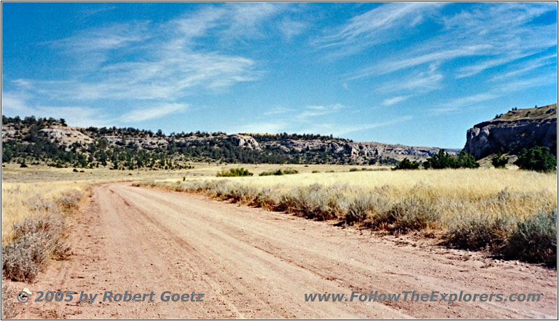
Sage Creek Rd, MT
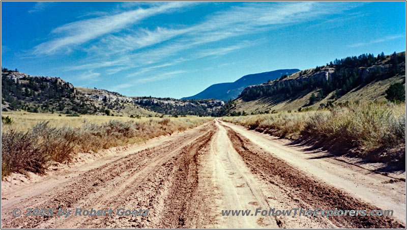
Sage Creek Rd, MT
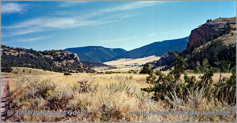
Sage Creek Rd, MT
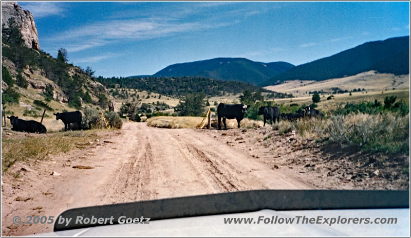
Livestock, Sage Creek Rd, MT
Now I turn east onto Sage Creek Rd.
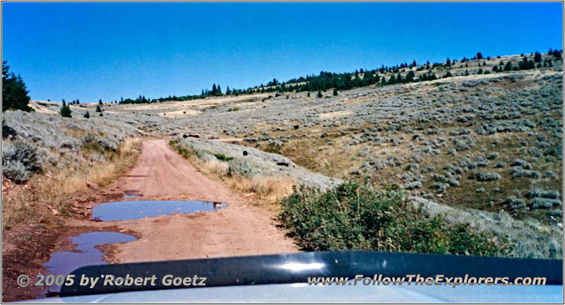
Pryor Mountain Rd, MT
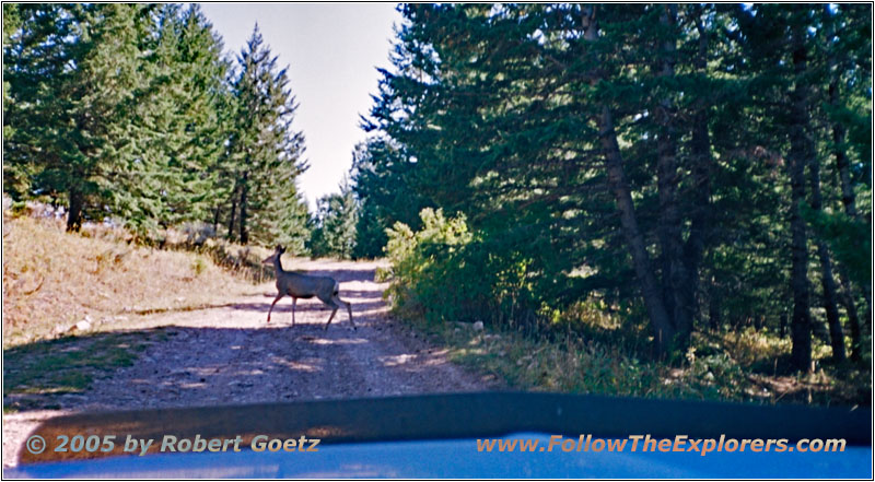
Deer, Pryor Mountain Rd, MT
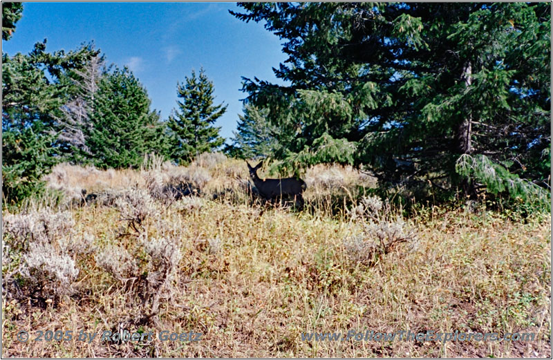
Deer, Pryor Mountain Rd, MT
This road takes me into the Pryor Mountain Range and the Custer National Forest, where the road changes to FR73. John Colter most likely also hiked up the mountains here on his way south to get an overview of the landscape around. I plan to do the same and drive up this almost endless forest roads.
First you drive in the valley and pass a bunch of farms, until I reach the start of the incline into the mountains. The road is now getting way narrower, but is still in a good condition. Only the cows often break down my faster progressing. But soon the road also deteriorates and I am forced again to slow down.
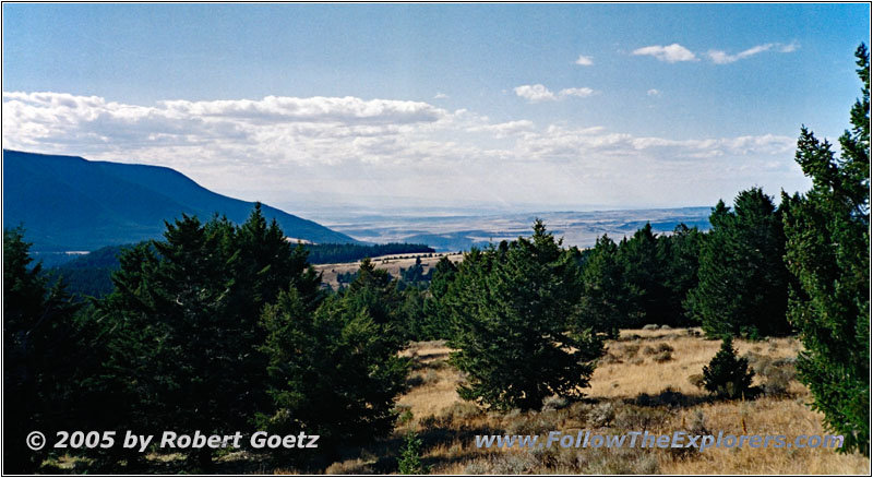
Sunlight Basin, Pryor Mountain Rd, MT
At the starting point for the hike to Big Ice Cave, I do a brief stop to have one of my apples. A group in a van tells me, that they have driven up a pretty ugly road. Another couple, who are traveling with an SUV, tells me, that this is a really bad road, which you should only drive with a real offroad vehicle.
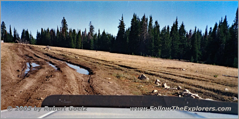
Pryor Mountain Rd, MT
The couple is originally from Pennsylvania, but works in Cody during summertime. They also give me the advice to drive a little bit further than what I have mapped out. It is allowed to drive there, but only for 4x4. There is also a very pretty 4WD road down into the valley. But this would keep me busy for a couple of hours. It is now too late to drive this road. But I should at least proceed until I see the wild mustangs up there. They had the luck to see the whole herd and also the “star” mustang, about whom a documentary has been made. They followed the stallion from birth until now. That is really interesting, but I am now definitely running out of time. All in all it is already late afternoon.
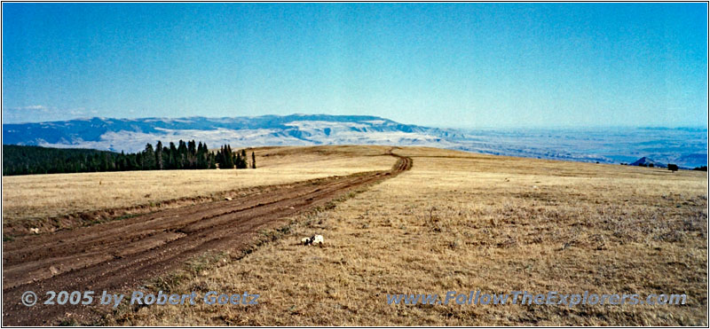
Pryor Mountain Wild Horse Range, MT
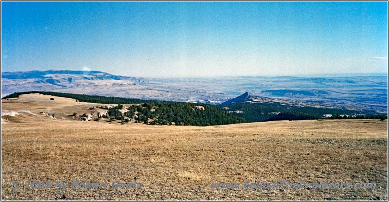
Pryor Mountain Wild Horse Range, MT
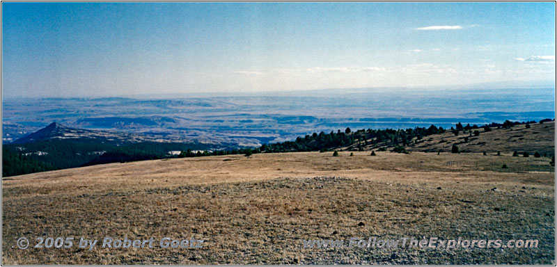
Pryor Mountain Wild Horse Range, MT
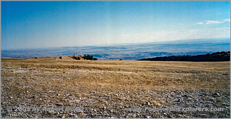
Pryor Mountain Wild Horse Range, MT
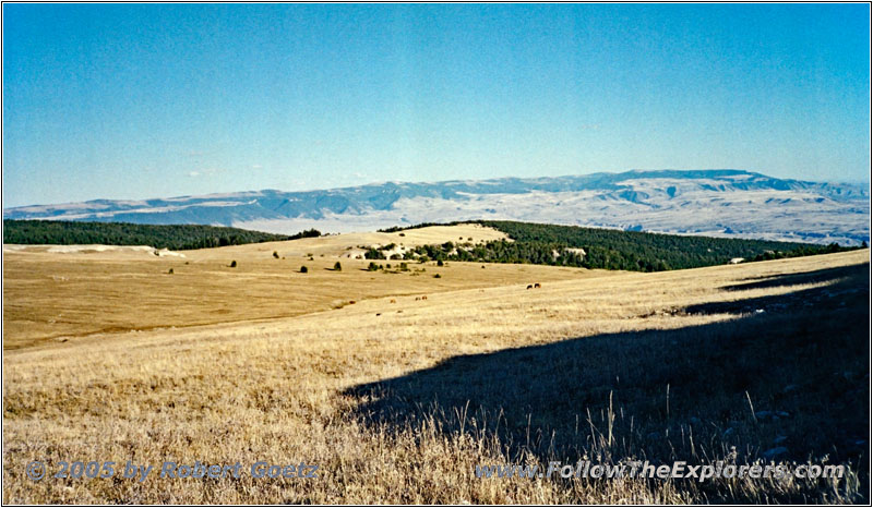
Pryor Mountain Wild Horse Range, MT
Anyways, I don’t want to miss my chance to see a group of real wild mustangs. Therefore I drive on. The road is getting worse, as described before. At some muddy sections I kick in 4WD, just to be sure. The van is giving up pretty soon and now I am on my own again.
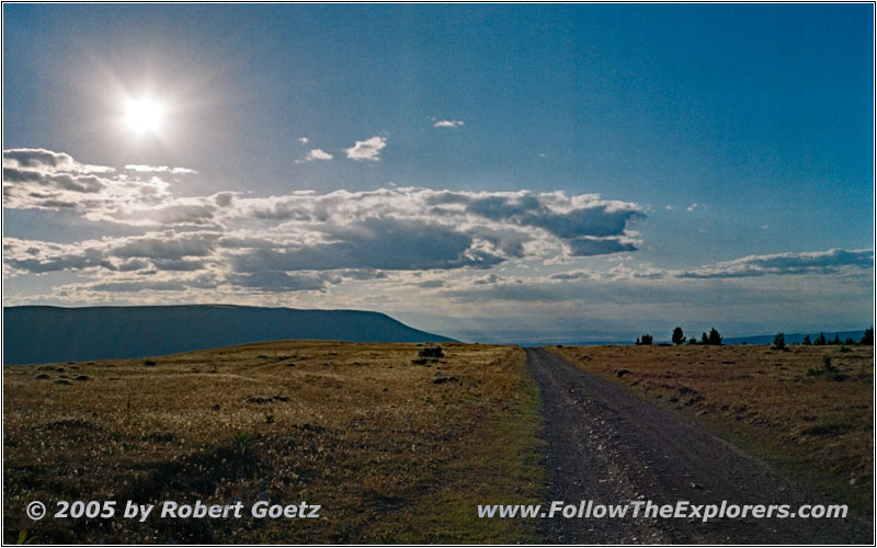
Pryor Mountain Rd, MT
Finally I reach the plain, from where I have a fantastic view of the giant Sunlight Basin. This was once a big ocean, whose drainage formed the valleys. And in some distance I am really able to spot the wild horses! But even with my maximum zoom on my camera it is hard to see anything. Unfortunately, on my photo without zoom is almost nothing to see.
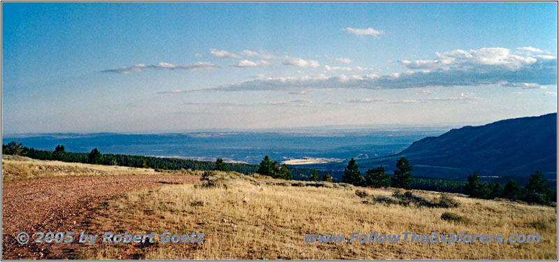
Pryor Mountain Wild Horse Range, MT
So I try to find a better spot without scaring the horses away. From that second position I am able to get some nice shots with my video camera (but they are still too far away for my photo).
Livestock, Pryor Mountain Rd back, MT
But the slowly sinking sun forces me to leave soon.
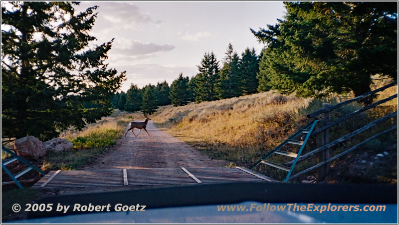
Deer, Pryor Mountain Rd back, MT
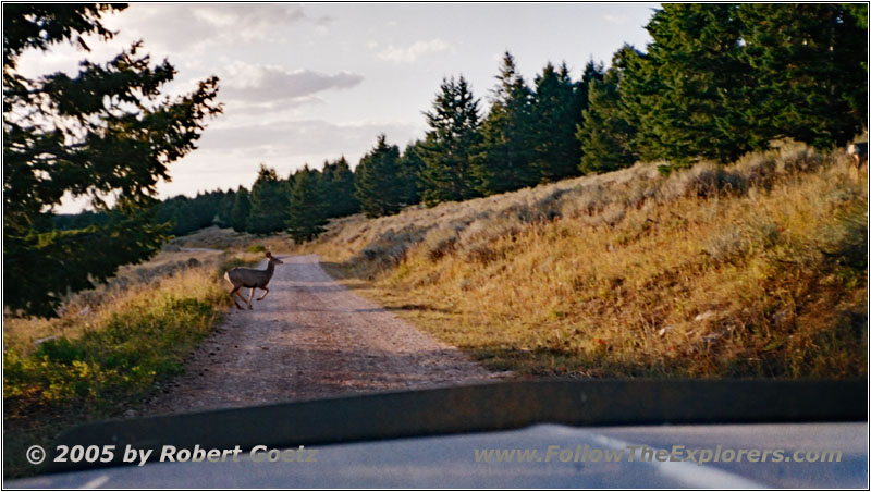
Deer, Pryor Mountain Rd back, MT
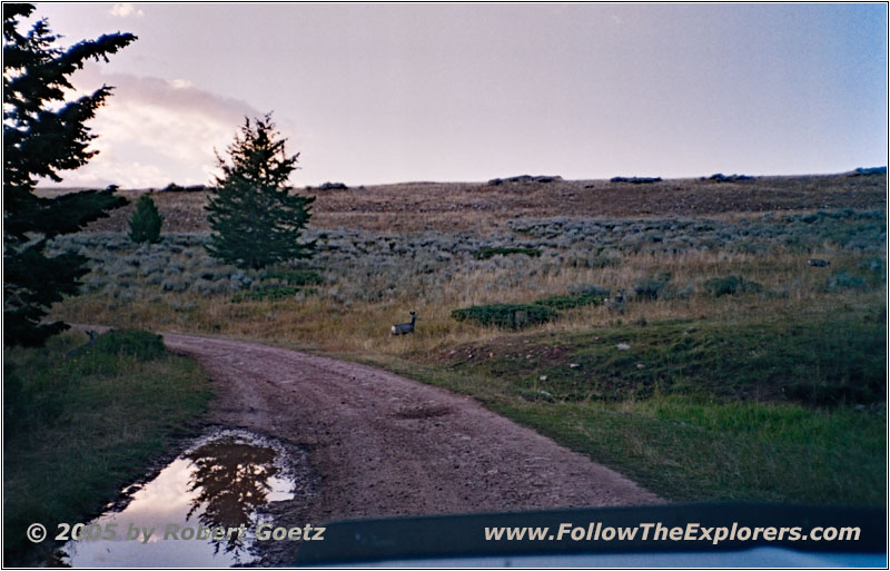
Deer, Pryor Mountain Rd back, MT
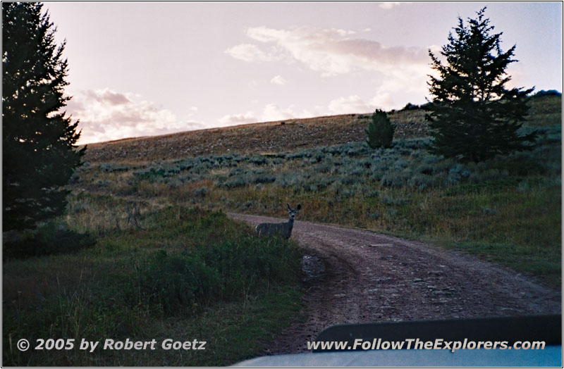
Deer, Pryor Mountain Rd back, MT
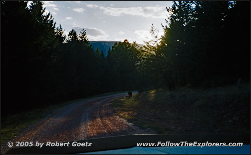
Now the dusk starts and there is a lot of deer crossing on this mountain road. More than once a deer jumps directly in front of my hood. When the sun really gets low and the sunset is approaching dangerously, I really try to hurry up. All in all I don’t want to drive down this mountain in the night.
But this hurry almost put me in a crash with two deer, who suddenly jumped over the road just past a curve. Only giving full brakes avoided a crash with them. Both animals run away totally scared. Happy, that nothing has happened, I proceed now a bit slower than before.
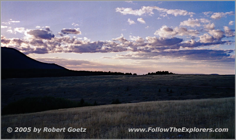
Pryor Mountain Rd back, MT
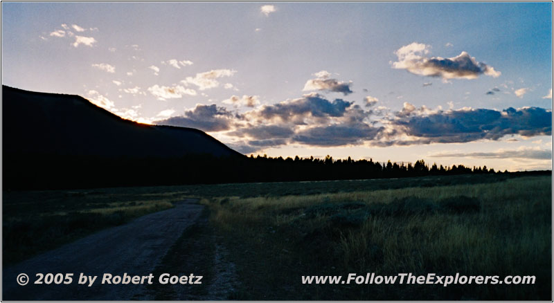
Pryor Mountain Rd back, MT
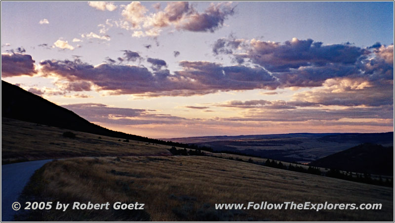
Pryor Mountain Rd back, MT
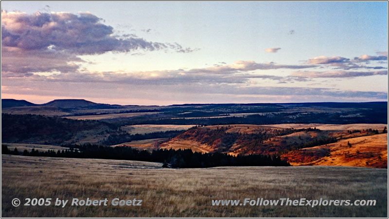
Pryor Mountain Rd back, MT
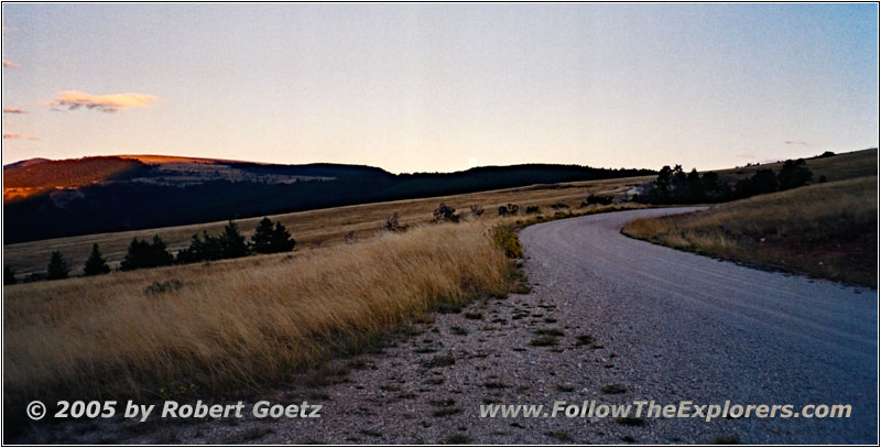
Pryor Mountain Rd back, MT
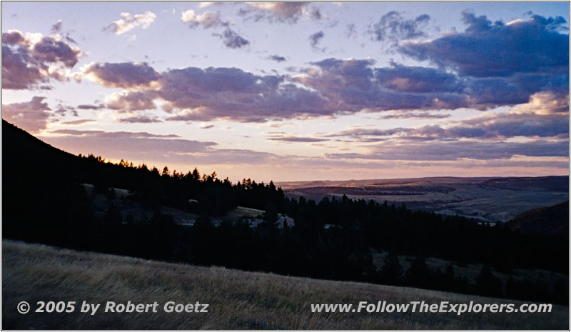
Pryor Mountain Rd back, MT
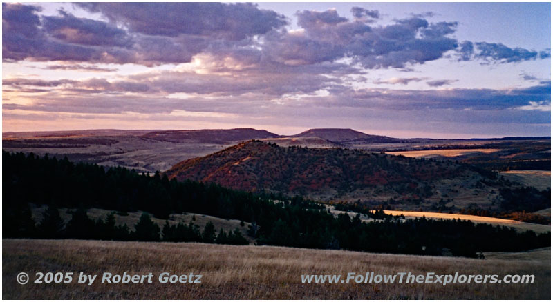
Pryor Mountain Rd back, MT
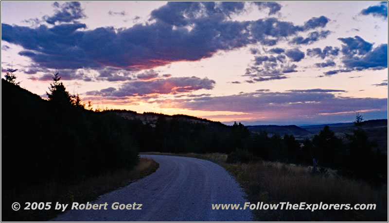
Pryor Mountain Rd back, MT
Because I will not be able to reach the sunset on pavement, I do a brief stop to catch some nice sunset pictures and video. Then I drive on.
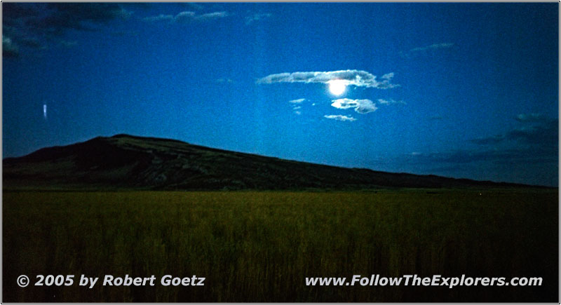
Moon, Pryor Mountain Rd back, MT
I reach the crossing, when then sun has almost set. The rest of 20 miles to Highway 310 must now be driven in the dark. But it is a full moon night and therefore not too dark. I use the opportunity to video tape and take pictures of the clouds, as they move in front of the full moon and spread around a real werewolf mood.
Eventually I reach Highway 310 and I drive north up to Laurel, where I reach the Interstate to Billings.
Now I make good miles on my way to Billings. Because I am already pretty late and I also have my motel room, I drive directly to the Outback Steakhouse for dinner. Around 10pm I pay and walk back to my car. There some guys talk to me because of my CB antenna. First I think it is because of my not really professional fix with the fishing line. But then I realize, that they think I am doing amateur radio because of my antenna. I have to say no and they walk away pretty disappointed.
I drive back to my motel and check the video taping of today. It seems like I will not get a lot of sleep this night again…
- Sights
- —
- General
- Breakfast: Cracker Barrel, Billings
- Dinner: Outback Steakhouse, Billings
- Motel: Motel 6, Billings
- Distance: 324 miles
