Lewis & Clark Trail
Day 15: September 4th, 1999 St. Louis
Today I will stay in St. Louis — one of the rare places were I will spend two nights. I start the day with a breakfast at Denny’s. But this turned out to be not the brightest idea: It is extremely crowded!
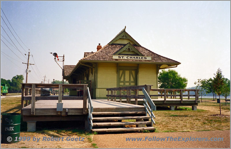
St. Charles, Historic Railroad Station
I leave the restaurant around nine and cross the Missouri on Highway 70 to reach St. Charles. This was the first stopover of Lewis & Clark on their way west. Also today the historic downtown still gives the feeling of the old times. First I plan to visit the Lewis & Clark Museum. But I am too early and take the chance to visit the historic railroad station before.
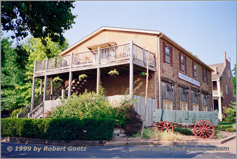
St. Charles, Lewis & Clark Center

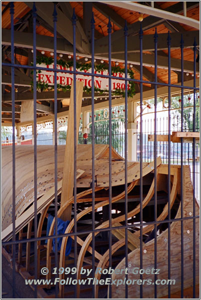
St. Charles, Lewis & Clark Pirogue

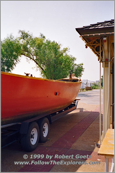
St. Charles, Lewis & Clark Pirogue
I am back at the museum when they open. The museum gives a nice overview of the whole Lewis & Clark journey. Before I leave the museum I buy a buckle (which I will carry for all my next journeys!) and an antique map of the Lewis & Clark Trail. I talk a bit with the employee about the trail. She gives me the advice to also visit the boat ramp. Currently they are building the original pirogues of the expedition for the 200th anniversary in 2004. A group the same size as the original expedition plan to relive the Lewis & Clark adventure starting in 2004.
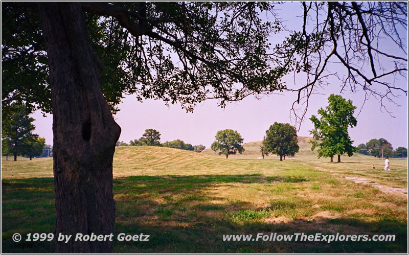
Cahokia Mounds
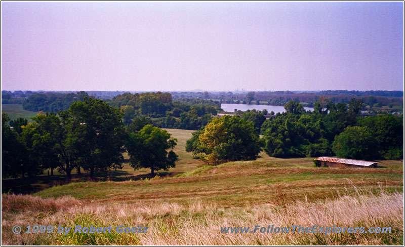
Cahokia Mounds
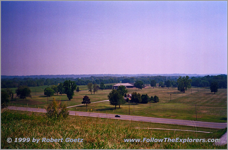
Cahokia Mounds
My next destination is Cahokia Mounds. I drive on I–70 back to the east and cross the Missouri. I–270 takes me over the Mississippi and to Highway 111. This one takes me to Cahokia Mounds. Cahokia Mounds is one of the biggest and most important mounds north of Mexico. People lived there from 700 to 1400. Between the years of 1100 and 1200 more than 20000 people lived in an area of approx. 6 square miles. Like at other mounds it is unknown why they have abandonded the city in 1400.
Clark found in 1804 another mound more to the north, which was also abandoned since a long time. But he never made his way to Cahokia Mounds.
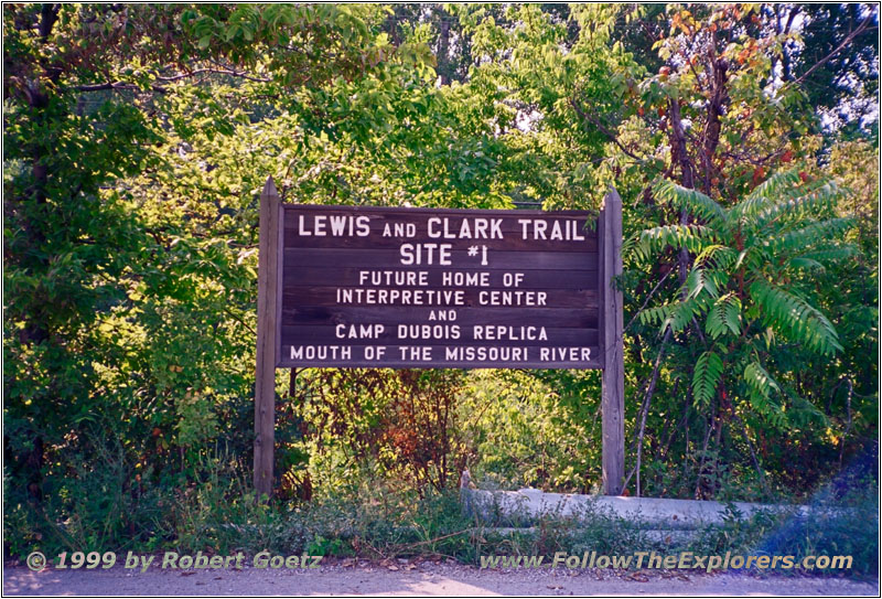
Camp Wood, IL
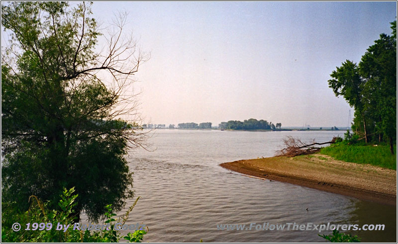
Confluence Wood River and Mississippi, IL

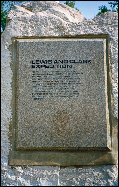
Lewis & Clark Expedition, Orders Jefferson
I head on Highway 3 to my next destination: Camp Wood. This was the spot where the Lewis & Clark Expedition spent the winter before the set out for their epic journey to the west on May 14th, 1804. I am lucky and find the crossing. Only a very small sign shows which very important place is hidden here. The road follows the Wood River to the Mississippi. There is a small monument which shows one highlight for every state the expedition has passed. In the center is a marker with the orders of president Jefferson.
Here I meet a family from Kansas City, who spends their Labor Day Weekend at St. Louis. The father of the family is a real Lewis & Clark fan. He would love to start with me on this journey. When saying goodbuy he gives me the name for a good book of the Lewis & Clark Trail. Maybe I have a chance to find it

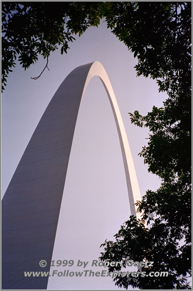
The Gateway Arch, St. Louis

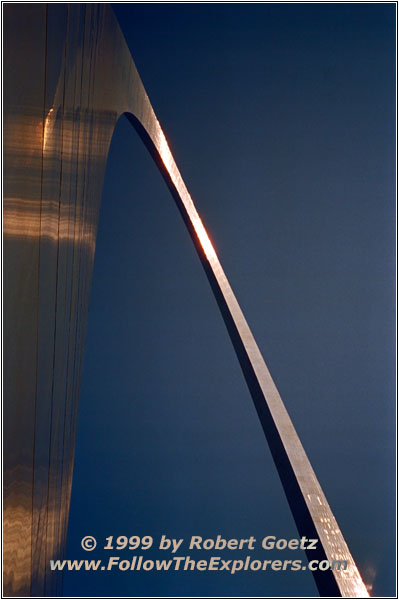
The Gateway Arch, St. Louis
My next destination is the Jefferson National Expansion Memorial, most of the time only called “The Arch”. It’s hard to miss it so I easily find my way to the closest parking lot without signs. I am also lucky in finding a spot and I can start my brief hike to the Arch. The family also told me that there is a nice museum under the Arch with a good exhibition of the Lewis & Clark Trail. But first I buy my tickets for the ride to the top of the Arch. The ride will be in an hour. This gives me enough time to visit the museum, which is really worth to see. There are great pictures of the journey and the landscape. After the museum visit I also take a look at the book store next to it. I am lucky again to find the book from National Geographic. It turns out to be one of the best books about this trail and well worth the money.
Now it’s time for the ride to the top. The group will be splitted in half for the north and south train. Also everyone receives a number for the cabin. Then it’s time for a security check like at the airport. The remaining couple of minutes can be spend to look through the exhibition of the building of the Arch. Now the ride can start: 5 people go into one very tiny cabin of the train. You shouldn’t be claustrophobic when taking this ride. A small window gives you the chance to take a look at the interesting technique which works in this building. It only takes a couple of minutes to arrive at the top. But it’s hard to get a spot at one of the small windows on top of the Arch.
Whenever you are ready you just line up at one of the train entries for the ride down. This time I take the ride on the other side of the Arch, to have been on both sides. It’s not really a difference, just to have it done.
It’s already dark when I leave the Arch. But there are still a lot of people on the walkway to the parking lot to still feel safe. I am driving back on Highway 40 and 61 out of St. Louis to I–270. Now it’s only a couple of miles to Bridgeton and my Bob Evan’s restaurant. I like to have dinner there. Around ten I drive back to my Motel.
- Sights
- Lewis & Clark Museum
- Cahokia Mounds
- The Arch ($6 Arch, $5 Parking)
- General
- Breakfast: Denny’s, Bridgeton
- Dinner: Bob Evans, Bridgeton
- Motel: Super 8, Bridgeton
- Distance: 106 miles
