Lewis & Clark Trail
Day 31: September 20th, 1999 Shelby — Kalispell
Today it’s again only 35 degrees in the morning. The breakfast at my Motel is not inviting for me and I start to search for a nice restaurant in town. I see someone cleaning his Pick–Up in the car wash and I ask him if he knows a nice place for breakfast around here. He gives me the route to a nice Café in town. I miss the location three times before I eventually see the Café. It’s a typical American small city restaurant. But the breakfast is great and very reasonably priced. After breakfast I drive to to the next gas station. They have no car wash attached. Therefore I drive back to the car wash I have been this morning at the east end of town. I plan to clean up the rims and the underbody again. I also try to figure out where the air path is routed. I see a small gap at the fender area which is almost completely closed by mud. Now I understand why I had no power any more. Also there is still a lot of mud on the inner side of the rims. It takes me three quarters of an hour and many quarters from the dollar exchange machine until I have cleaned up everything reasonably. I start my trip at half past ten, half an hour late.
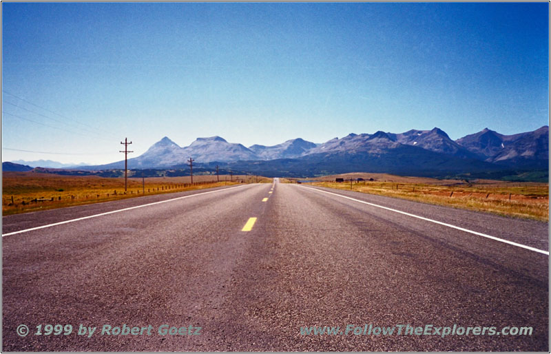
Highway 2, MT
First I try to find the small backropad which follows Marias River. This is difficult because this road does not cross the Interstate. After a while of searching I find the way around. Now I am on my backroad along the river banks. This is the first time where I am able to see the Rocky Mountain Range in a distance. Tonight I will be in this magnificient area. I follow Marias River until I reach Highway 2 in the area of Cut Bank. My next destination is the location of Camp Disappointment along the Highway. This was the northest point which Lewis reached on his journey. He named this Camp Disappointment because he realized there that Marias River will not flow to the north but turns again to the west and reaches its source. But I am not able to see any sign or historical marker. I assume the 10 mile road work has taken away the signs.
But this spot wouldn’t have been the location of the original spot anyway. Today the camp is on private property with no public access. But when following Highway 444 it is possible to get close to the original camp site. On my way a bunch of cows block the way. I am already getting used to that.
This would be the end of the trail along Marias River. But I want to use the opportunity to make a side trip to Glacier National Park. I follow Highway 2 to Browning. There I visit the Museum of the Plain Indians. Again I miss the entrance because the signs are not very clear. The museum shows a lot about Indian clothing and their way of living. Again I have the luck that they have a Karl Bodmer exhibition in a small room. There is also one of the original Meriwether Lewis books to see behind glas.
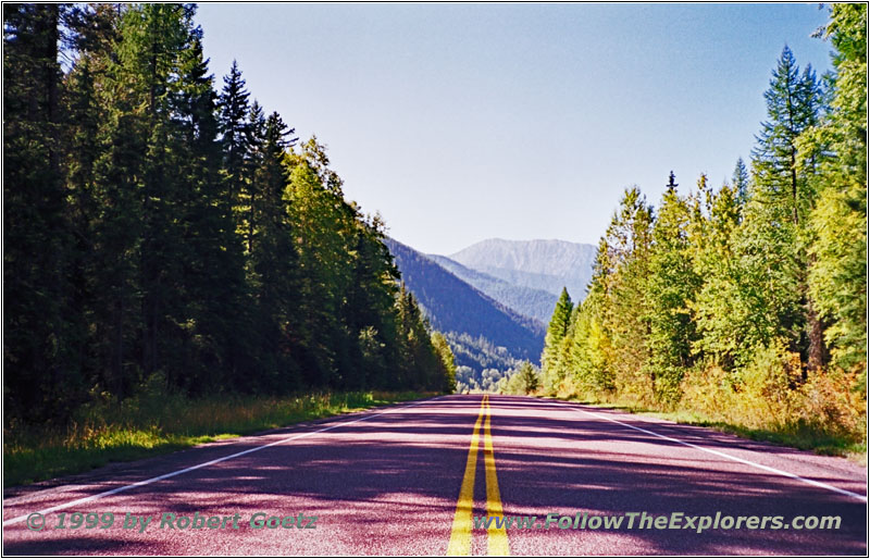
After the visit I follow Highway 2 to Glacier National Park. The landscape starts to change significantly. The hills to the right and the left change to real mountains. Also the vegetation changes from prairie gras to pine and deciduous forest with green gras and bushes. Highway 2 follows first the boundary of the National Park and eventually enters the park. But there is no fee in this area. I soon arrive at Marias Pass at 5213ft elevation. Whereas pass is a bit misleading. The area changes from little incline to little decline. There is a plain to the left and right with mountains at the end.

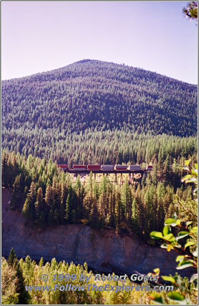
Flathead River, Goat Lick, Highway 2, MT
My next destination on this road is Goat Lick. If you are lucky you will see mountain goats licking salt. The salty mountain is in a short distance to see. But the day and time is not perfect and the only animal I see is a raven at the parking lot. But the landscape is also beautiful. The view from Goat Lick to the Flathead River a couple of hundred feets below is awesome. At the other side of the gorge is a railroad at the same elevation as the road. Unfortunately I am not able to catch the same feeling in the picture like being at this location.
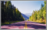
Highway 2, MT
It’s hard to leave this scenary and travel on Highway 2 to Kalispell. My next destination is the Great Bear Adventure. This is a fenced park where you can drive through and watch bears. But when I arrive at 4pm I see that the park is closed until Friday — and today is Monday. So I travel on to Kalispell, one and a half hour ahead of my time. I am checking in at the local Motel 6 around 5pm. Then I drive to Wal Mart to fill up my supplies. Now it’s time again to search for a restaurant. After searching through the city for a while I decide to go to the Sawbuck Saloon & Casino. The dinner is great and plenty. I return to the motel around half past seven. I surely asked if they have breakfast at the Saloon…
- Sights
- Museum of the Plain Indians (Fee $4)
- Goat Lick
- General
- Breakfast: Café, Shelby
- Dinner: Sawbuck Saloon & Casino, Kalispell
- Motel: Motel 6, Kalispell
- Distance: 92 miles
