Lewis & Clark Trail
Day 32: September 21st, 1999 Kalispell — Great Falls
Today I will visit one of the most beautiful parts of the US: Glacier National Park. I plan to leave around half past seven because it will be a very long drive. But I am a bit late and leave the Sawbuck Saloon around eight after a hearty breakfast. First I follow Highway 2 back to West Glacier. There I turn onto the National Park Road. I have to wait around 10 minutes at the entrance station. After paying 10 Dollars I receive my ticket and a small newspaper about Glacier National Park. Then I am ready to go.

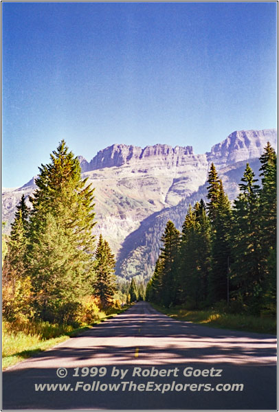
Going–To–The–Sun Road, Glacier National Park, MT
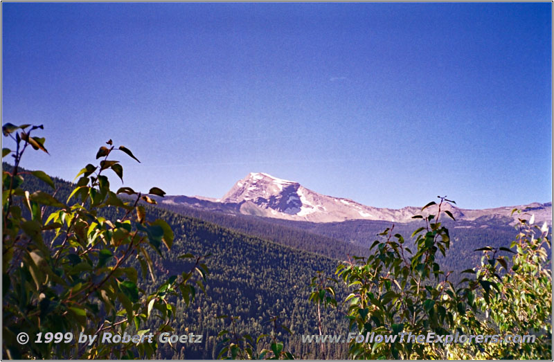
Glacier National Park, MT
I make a brief stopover at the tourist info in Apgar. I buy a small brochure about the Going–To–The–Sun Road which I will drive now. The park has been established on May 11th, 1910. At this time there only existed a couple of miles rough covered wagon trails. But people already started to think about how a road might lead over the mountains. In 1918 George Goodwin planned a road which was the base for the Going–To–The–Sun Road construction starting in 1920. At this time the name was “Transmountain Highway”. The yearly budget was 100,000 Dollar. In 1924 they raised it to 1 Million for three years. The final planning has been done by Frank A. Kittredge. He only changed the area around Logan Pass from the original Goodwin plan. Goodwill planned 15 switchbacks while Kittredge reduced it to one. This switchback is now named “The Loop”
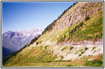
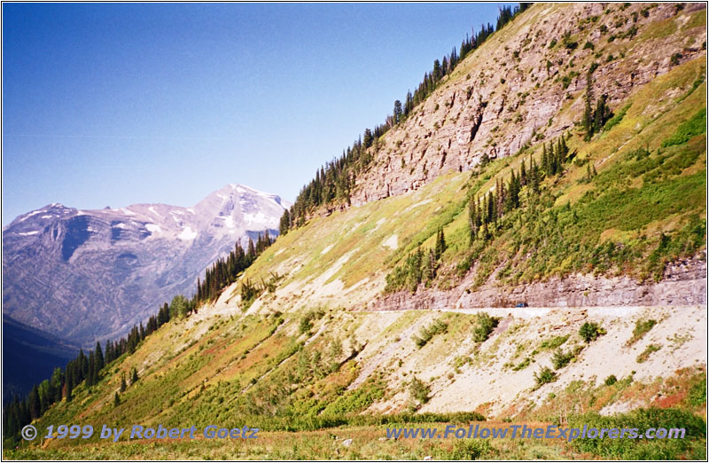
Going–To–The–Sun Road, Glacier National Park, MT

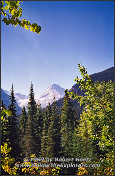
Glacier National Park, MT
It was extremely difficult to build the road. Not only because of the rough territory but also they tried to damage the nature as minimal as possible. The soil that has been removed in one area is used as filling material in other areas. Also they were not allowed to use big explosives to minimize the landscape damage. This forced them to literally build the road by hand in some areas. The most difficult part was the 405 foot “East Side Tunnel” east of Logan Pass. It was not possible to use heavy equipment and the workers had to remove the rocks by hand. Late fall 1932 the first car was able to travel the 51 mile Going–To–The–Sun Road.
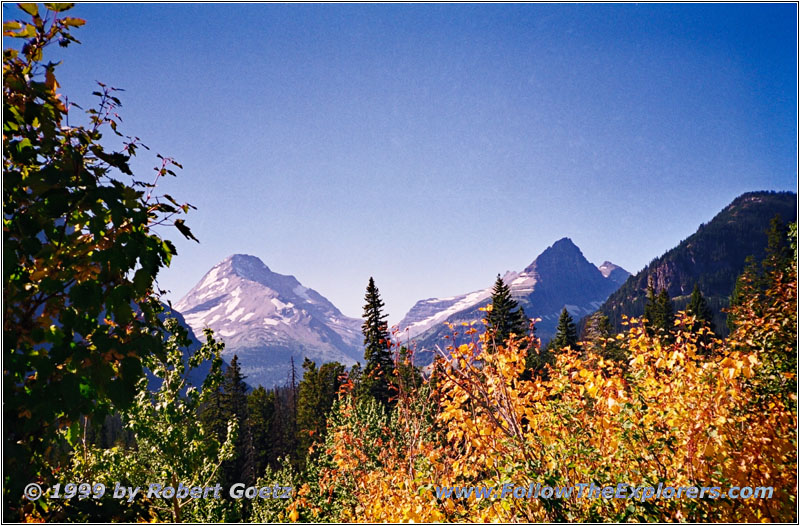
Glacier National Park, MT
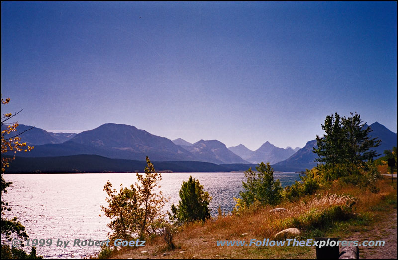
St. Mary Lake, Glacier National Park, MT
The official ceremony was on July 15th, 1933. But this was just a gravel road. 1938 they started to pave the road. But World War II forced them to stop the work. In 1952 the road was finally completely paved. If you drive the road today you still get a glimpse of all the hardships the workers gone through building this road. The landsacpe is magnificent. Even if you walk through this area you are still way to fast to soak up all the impressions. I try to use nearly every opportunity for a movie and picture stopover. Unfortunately a lot of pullouts are already crowded with cars and I have to pass it. This is very disappointing. Best would be to hike one or two weeks through this mountain area. But it’s also a bit dangerous to do so. There are warning signs for bears and other wildlife. Whereas I reach the east end of the park in St. Mary without any sights of wildlife — beside some small birds.
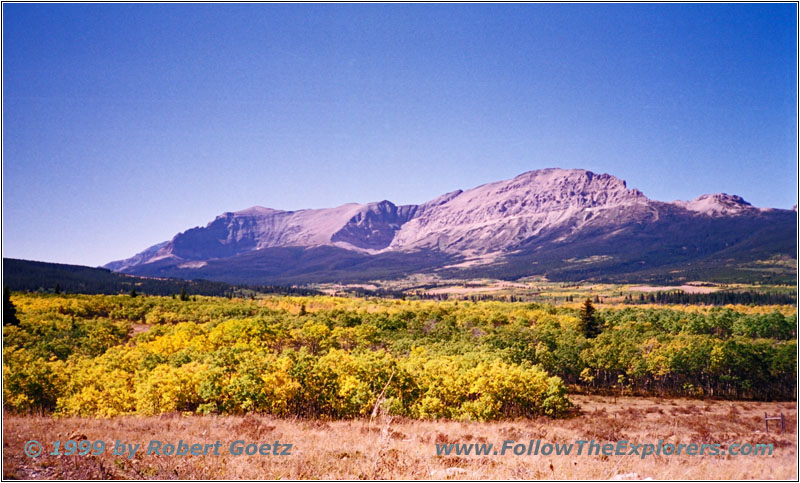
Glacier National Park, MT
It’s already a quarter past one and I am one and a half hour behind my schedule. Looking at the long way to go today this is getting tight. But the landscape was to gorgeous to drive through faster. From St. Mary I follow Highway 89 to Browning. At a hill I have the chance to take a final look at Glacier National Park with all its fall colors.
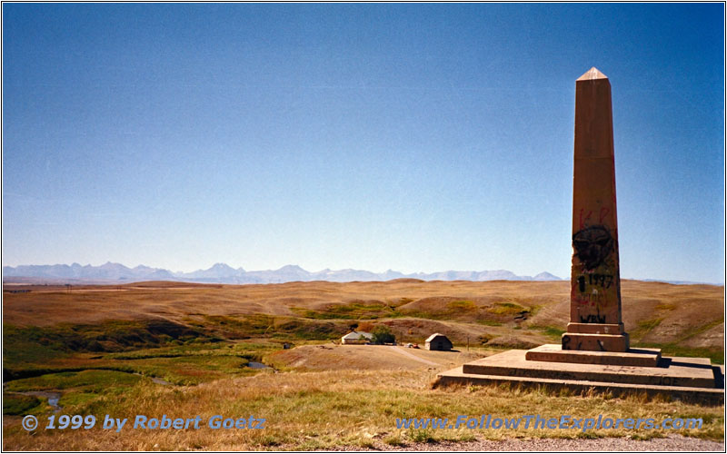
Camp Disappointment Historical Marker, MT
Then I am driving on to Browning. From there Highway 2 takes me to the east. I try again to find the spot of Camp Disappointment. And this time I am lucky and see the marker on the left side of the road. Unfortunately the marker has been damaged by graffiti and a lot of trash is laying around.
I am driving on a most of the time absolute straight Highway 2 for 100 miles before I turn onto Highway 223 to the south. A couple of miles later, just before Benton, I turn onto a small backroad to the east. This time I follow the west bank of Marias River. I reach Highway 87 at Loma which I follow southwest to Benton. Originally I planned to visit the Historic District. But I am already extreme late and I decide to skip the visit. I cross the Missouri and follow the south bank of the river on backroads.
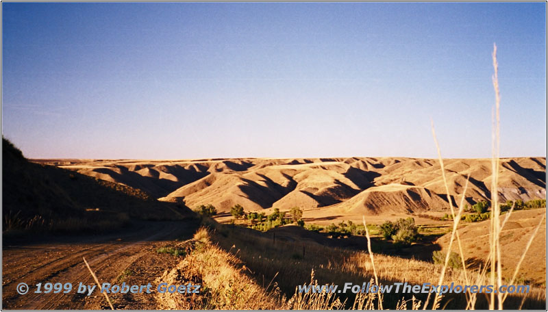
Backroad, MT
I reach Salem Bridge where the “Great Portage” of the Great Falls of the Missouri started for the Lewis & Clark expedition. Originally Lewis planned only several days to get everything around. But in the end they needed more than a month! The expedition had to carry 6 canoes and tons of luggage 18 miles over a rough country and steep hills. Hail and prickly cactus made things worse. When driving through this area by car it can be easily imagined what these guys went through.
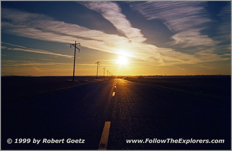
Sunset Highwood Road, MT
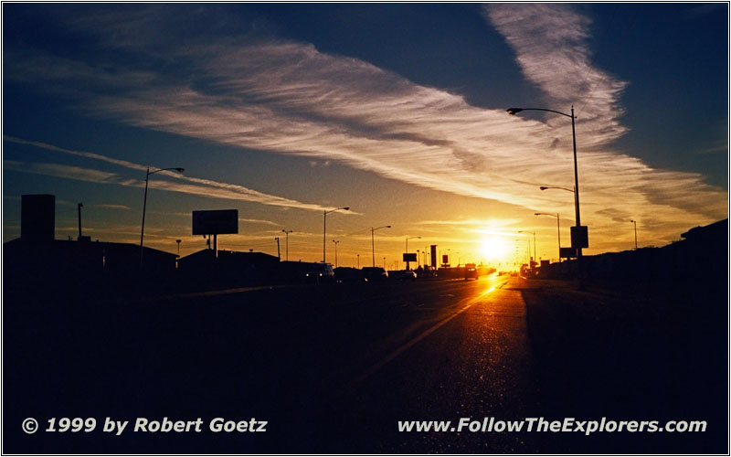
Sunset Great Falls, MT
Eventually I reach Great Falls. Unfortunately there is a road construction on the road to my Super 8 Motel. After a copuple of wrong turns I finally reach my Motel. I ask for a good dinner place and they recommend JB’s on the same street (where the road construction is!). Due to the construction zone I drive to the restaurant. The dinner is ok but not even close to the great steak in Lewistown. It is one of these family restaurant chains without any ups and downs. It’s already late and I was not in the mood to search for another place. At least I am full and return to the Motel around eight.
- Sights
- Glacier National Park (Fee $10)
- General
- Breakfast: Sawbuck Saloon & Casino, Kalispell
- Dinner: JB’s, Great Falls
- Motel: Super 8, Great Falls
- Distance: 344 miles
