Lewis & Clark Trail
Day 38: September 27th, 1999 Pasco — The Dalles
My neighbours at the Motel 6 gave me the advice to eat at the truck stop close to the Interstate. I already had other plans for dinner yesterday but I plan to give it a try for breakfast. I am really amazed. The food is not expensive and plenty. Also the view of all the Semi Trucks in the parking lot is great. But when I arrive at half past seven they are all already leaving. Their day starts earlier than mine.
A quarter past eight I leave the restaurant and drive to the Sacajawea State Park. As usual I try to find my way on backroads. This time I am driving through an area of factories with closed buildings and abandoned loading ramps. It feels like being in one of these Mafia movies. Eventually I reach the State Park safely. Unfortunately the Interpretative Center is already closed for the season.
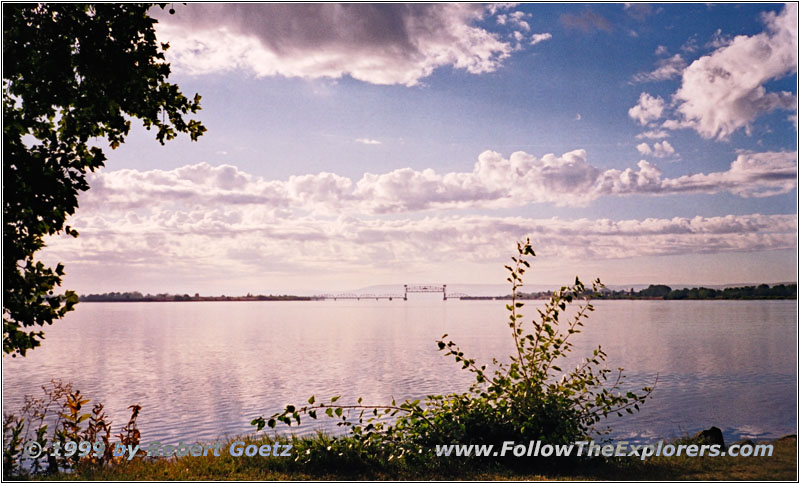
Columbia River, Sacajawea State Park, WA
I hike through the park to the conmfluence of the Snake and Columbia River. I am also able to capture some playing squirrels before I am getting ready to leave. Slowly I feel the cold because the temperature is again in the lower 30s this morning. But at least the windshield was not icy when I left.
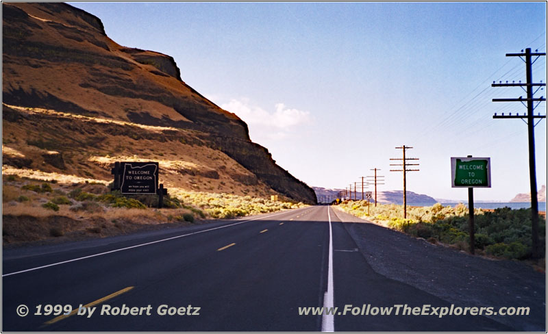
Oregon State Line, Highway 730, WA
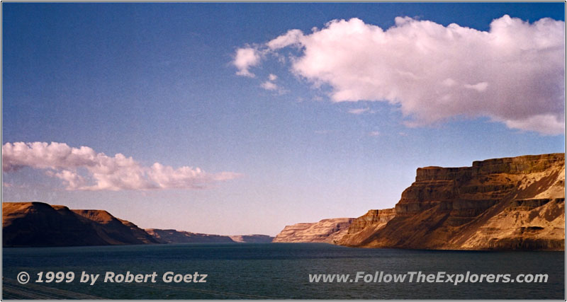
Columbia River, Highway 730, WA
I follow Highway 12 to Wallula Junction. Highway 730 follows the sharp right turn of the Columbia River from there. I reach the Wallula Gap, a canyon with steep walls and black beaches. The contrasts for my picture are really great. I cross the State Line from Washington to Oregon. From now on the Columbia River forms the State Line between Oregon and Washington.
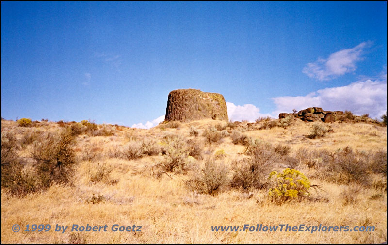
Hat Rock, OR
My next destination is Hat Rock State Park. It is named for a rock which really looks like a giant hat. Beside that there is not really much to see and I hit Highway 730 to the west soon. I make another stopover at McNary Dam. They have built a fish ladder behind glas where you can watch the fishes on their way upriver — if you are lucky. But currently there are not many fishes on their way. Also the water is very murky. The only thing I see are some dark shadows floating by from time to time.
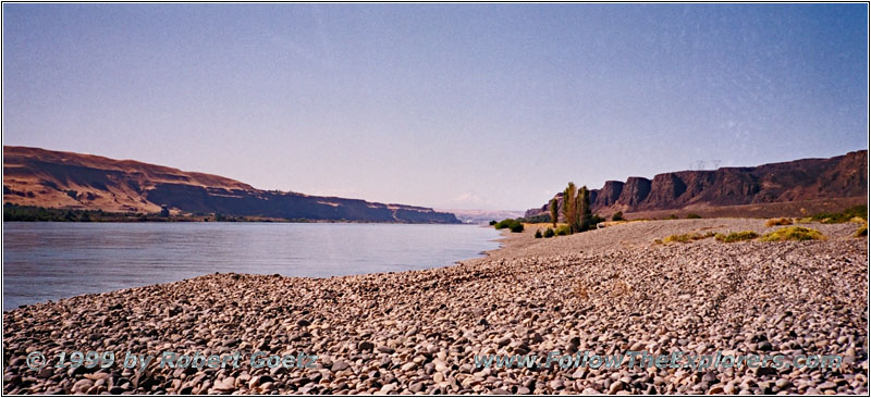
Columbia River, John Day Dam, WA
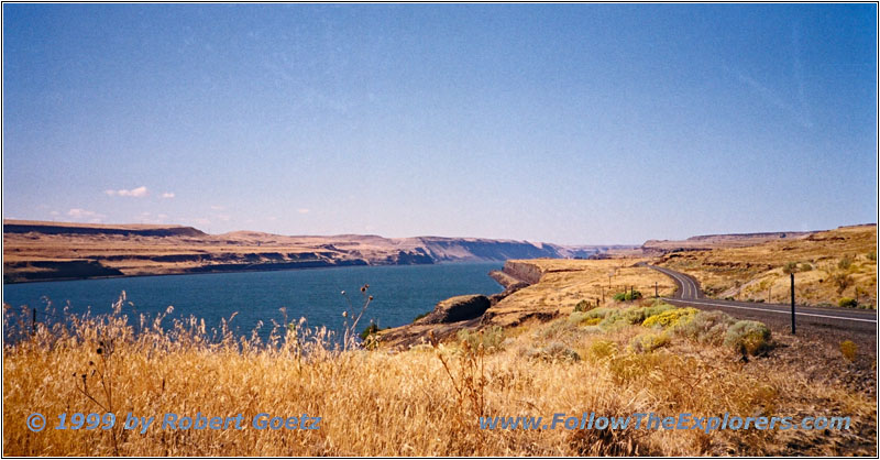
Columbia River, Highway 14, WA
I cross the Columbia River at Umatilla and follow Highway 14. After 50 miles I reach John Day Dam. Usually there should be great views of Mt. Hood and the Columbia River Gorge. But it is pretty misty and it is hard to see the mountain.
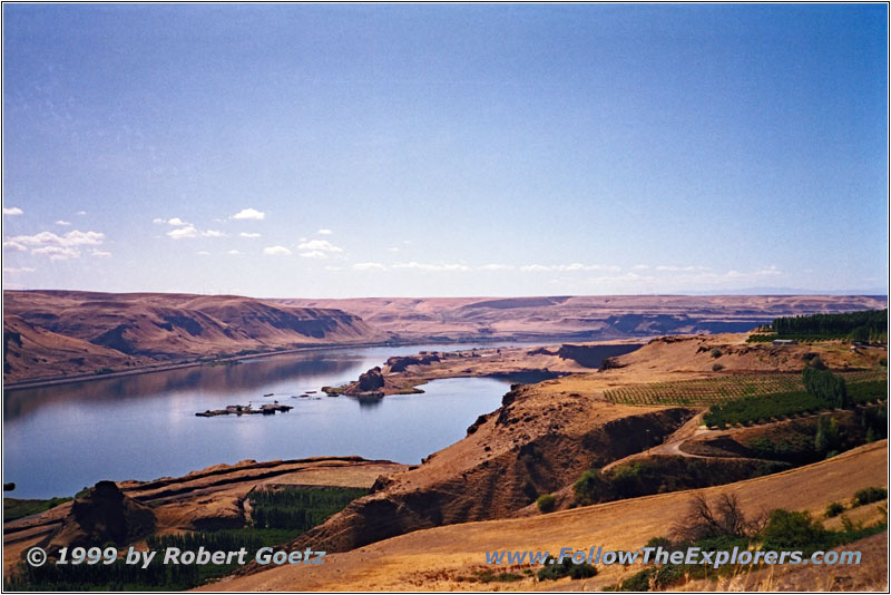
Columbia River, Maryhill State Park, WA
I drive on to Maryhill State Park where I get some nice shots of the Columbia River. There are also some peacocks roaming the park. But none of them is so nice to spread their tail. So I drive on to Wishram and the Wishram Overlook.
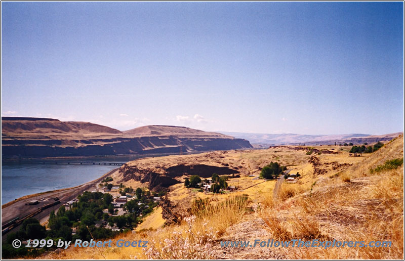
Columbia River, Celilo Falls, Wishram Overlook, WA
Below the overlook were once the Great Falls of the Columbia also known as Celilo Falls. On October 23rd, 1805, these falls forced Lewis & Clark to take their canoes out of the water and drag them over the country. The thunder of the water falls were easy to hear from far away. Once a year there was also a big event for the Indians: The fishes went upriver to their spawning grounds. At this time of the year all Indians from the region reunited for the big fishing event at Celilo Falls. This was the center of their life for several weeks. But in 1957 the dam at The Dalles was closed and within hours the Celilo Falls were quiet forever. Nowadays nothing can be seen of these giant falls, which have been an important part of the local Indians lifes. Only in old pictures and documentaries you can see what has been destroyed here forever.
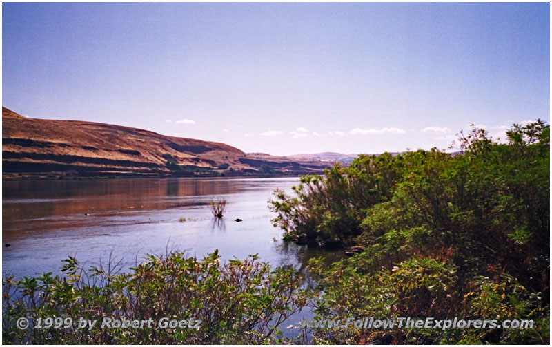
Columbia River, Horsethief Lake State Park, WA
My next destination is Horsethief Lake State Park. In the past this area was between two rapids — the Short and the Long Narrows. But also these were destroyed by the dam like Celilo Falls. The expedition camped here after they managed to navigate through the impassable Short Narrows. The Indians could not believe that they made it. Just imagine the brutal force when the mighty Columbia will be pressed through a 120 feet wide rocky canyon. It’s almost a miracle that the expedition made it. In the morning of October 25th they set off to go through the impassable Long Narrows. But they also managed this ride without any issues.
I almost reached my destination for today: The Super 8 Motel in The Dalles. Highway 197 takes me over the Columbia River to The Dalles. This city was an important place for travelers to the West. They had to decide here: Should they stay or should they take some more hardships to travel on to the West. It also cost money again to hire another guide for the next journey. The fastest way was on water. But the risk was high due to the rapids. But also traveling overland was risky. The time of the year when all the treks arrived was close to the winter. And a sudden snowfall could be the end of the whole trek. Therefore a lot of new settler stayed in The Dalles to start their new life here.
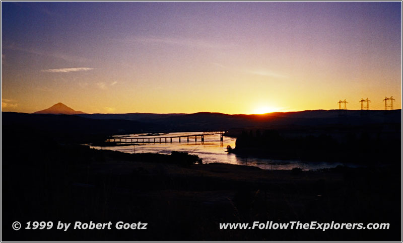
Sunset Columbia River, The Dalles, OR
I follow Highway 30 to the west end of the city to reach my Motel. I am checking in around 3pm. I hurry up because I definitely want to visit the Columbia Gorge Discovery Center and Wasco County Historical Museum. They show and explain the former life in Wasco County very impressive. There is also a great movie about the former Celilo Falls. This place is absolutely worth a visit. As completion I hike through the area outside before I finally have to leave. They shut down the museum for today. But the weather is very nice today and I hope to capture a decent sunset. I got an overview map and I look for a suitable hill to wait for the sunset. But the position I found is not really perfect and I am not able to capture the evening mood I wanted to have on the picture.
Now it’s time for dinner. On my way to the Discovery Center I have seen a nice Mexican Restaurant. I hope to find it again. But it is hard to miss the Lindo Mexico. The dinner is great and plenty. I am extremely hungry but I am not able to eat all. I also have to return a lot of the delicious Tacos — unfortunately. I leave the restaurant around eight and drive the couple of yards back to my Motel.
- Sights
- Sacajawea State Park
- Hat Rock State Park
- McNary Dam
- John Day Dam
- Maryhill State Park
- Wishram Overlook — Celilo Falls
- Horsethief Lake State Park
- Columbia Gorge Discovery Center
- Wasco County Historical Museum
- General
- Breakfast: Truck Stop, Pasco
- Dinner: Lindo Mexico, The Dalles
- Motel: Super 8, The Dalles
- Distance: 193 miles
