Robert Stuart Trail 1812 — 1813
Day 34: September 14th, 2007 Omaha — Kansas City
Today I receive directions to the post office when checking out. It is almost the same way as to the Outback Steakhouse. I just have to turn left a little bit earlier. This should be easy to find! I say thank you and drive over to the Village Inn at the corner for breakfast. Then I drive over to the post office to first get some stamps for my postcards.
Finally I drive to the next gas station and around a quarter past ten I am back on the road.
First I drive back to my yesterdays finishing point at the South Platte River.


Main St/Highway 66, Louisville, NE
Then I continue on backroads to Louisville, Nebraska.
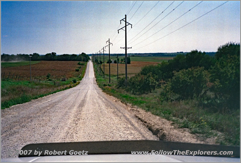
Cedar Creek Rd, NE
First I take Highway 66, then again smaller backroads. At one spot, they are currently felling a tree and they have set up a detour over private property.
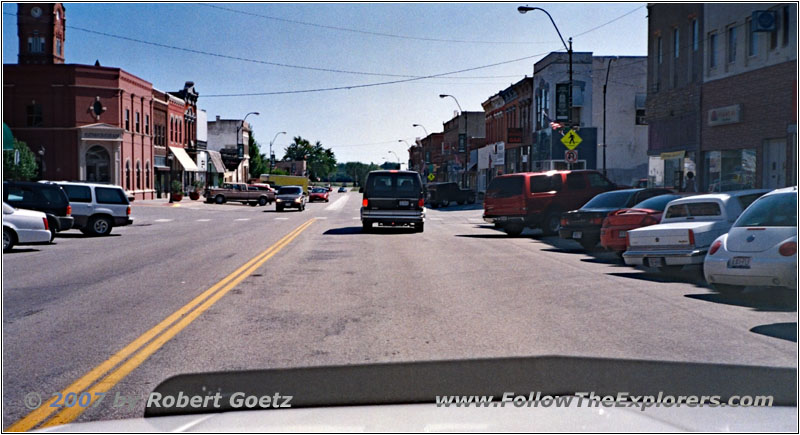
Main St, Plattsmouth, NE
Finally I arrive at Plattsmouth. Unfortunately, I am not able to drive to the river confluence as originally planned, because everything around there is private property. Therefore I directly continue on the bigger highways.
Because I have already followed this stretch of the Missouri River many times in the past, I take not the smallest roads along the river but a little bit bigger highways.
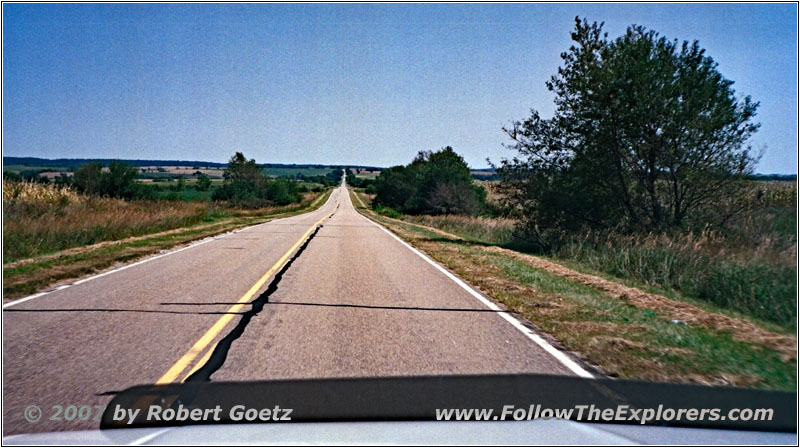
Highway 67, NE
So I arrive at Brownsville in Nebraska. Around half past one Johanna calls me on my mobile phone because she assumed I would arrive around noon. I explain to her that I am still on the road and will probably arrive in the early afternoon at the hotel.
Then I continue through Falls City.
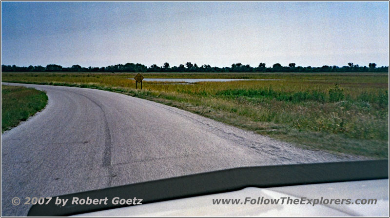
661 Ave, NE
At one spot I miss the correct exit, but I soon discover my mistake and return to the originally planned route.
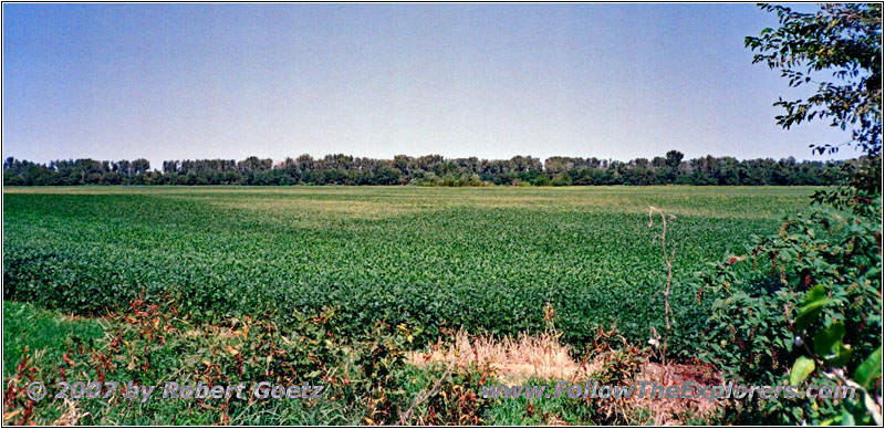
Highway 7, KS
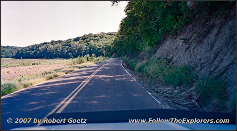
Highway 7, KS


Highway 7, State Line NE and KS
On Highway 7 I cross the state line to Kansas.
Then I drive through Atchison.
Next I drive through Leavenworth. Now it is not very far to Kansas City.


I–70, State Line KS and MO
Around 5pm I finally arrive at the Holiday Inn Express. Lucky me I currently have my CB antenna no longer on my roof. Otherwise I would have not been able to drive through the covered area at the entrance.
Everything worked out with my reservation and I receive a very beautiful room — which has the according room rate. I put my stuff into the room and call Johanna. She picks me up and we do a brief walk through Kansas City. Then we go to McCoys for dinner. She wants to sit outside even when it is already a bit chilly. But it is still okay.
Around 11pm we say good–bye and I walk back to my motel. Because it is still not too late I make myself a coffee, check my video taping of today, do my book keeping and write my diary.
- Sights
- —
- General
- Breakfast: Village Inn, Omaha
- Dinner: McCoys, Kansas City
- Motel: Holiday Inn Express, Kansas City
- Distance: 211 miles
