Wilson Price Hunt Trail (‘Astorians’) 1811 — 1812
Day 27: September 8th, 2006 Ontario (Snake River)
Close to my motel is a Denny’s, where I will have breakfast. The coffee service is again a bit slow, but despite of this, the breakfast is okay. At the Wal–Mart is also a gas station, where I plan to stop by. But it seems, you can only fill in for a dedicated amount of money. But suddenly an employee shows up and now I remember: I am in Oregon! There are all gas stations with service. I apologize and she fills up my gas tank. Then she also cleans my wind shield. Unfortunately not the almost same important side windows.
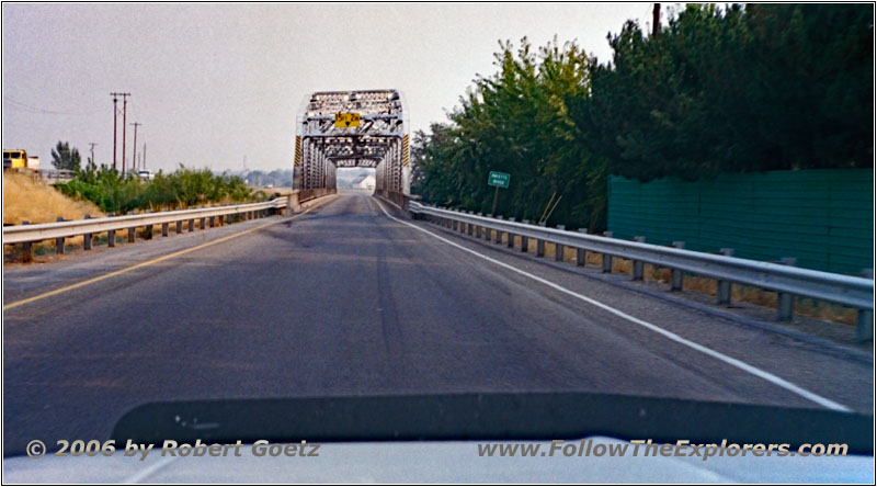
Highway 95, Payette River, ID
Around 10am I am ready to depart. First I drive north in direction of Weiser. When I see this little village, I am sure to have made the right choice with Ontario. My trail of today should take me on Forest Roads to the Snake River. Also Hunt went here over these small but steep hills, which I also plan to pass.
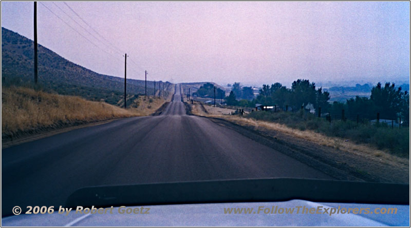
E Park St/Weiser River Rd, ID
At Weiser I find a Ranger Station, where I buy some maps of this area. There I learn, that there is also a new fire at Cuddle Mountains. Lucky me, they are not in my planned route. First I follow on paved roads along Mann Creek.
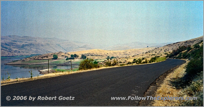
Mann Creek Rd, ID
At Mann Creek Reservoir I leave the paved roads and continue on gravel roads.
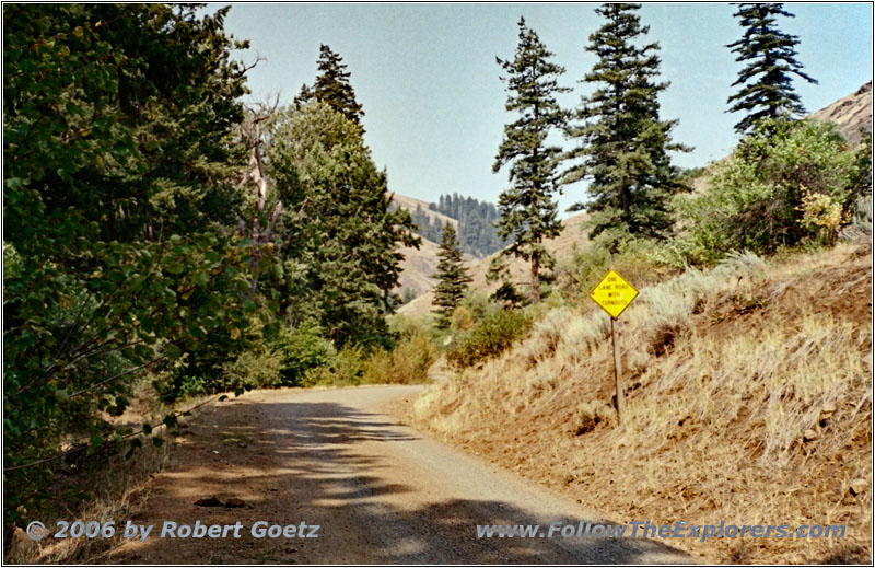
Jonathan Rd/NF-009/NF-024, ID
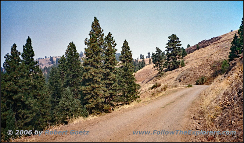
Jonathan Rd/NF-009/NF-024, ID
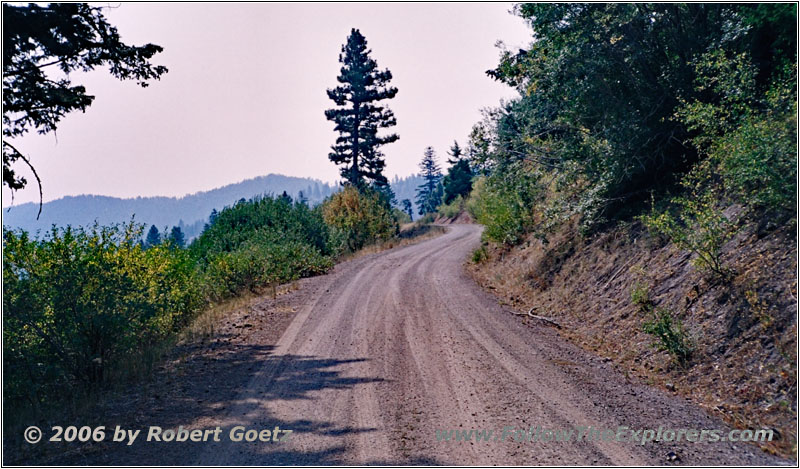
Jonathan Rd/NF-009/NF-024, ID
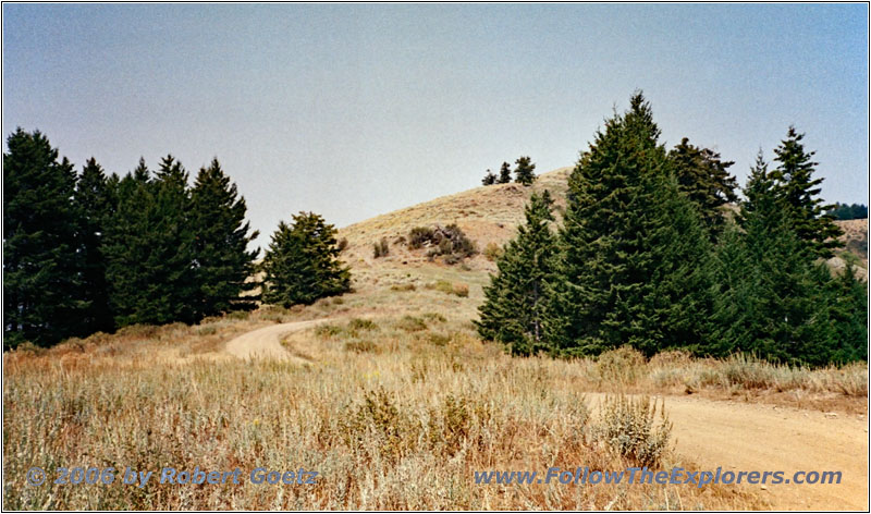
Jonathan Rd/NF-009/NF-024, ID
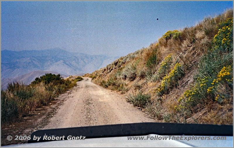
Jonathan Rd/NF-009/NF-024, ID
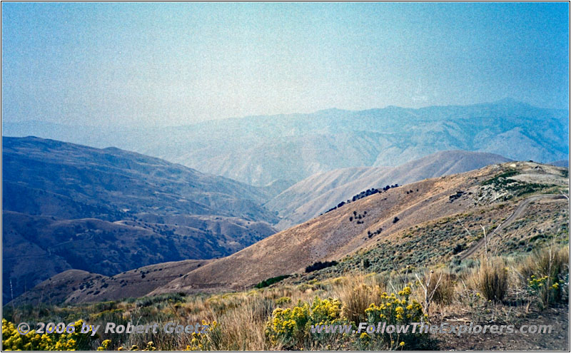
Jonathan Rd/NF-009/NF-024, ID
Unfortunately this is also a washboard road with a lot of deep longitudinal rips.
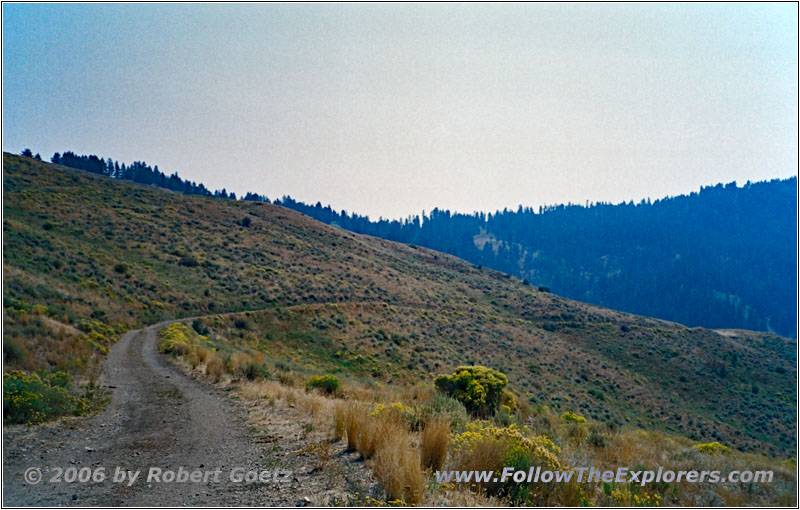
Jonathan Rd/National Forest Develop Rd 024, ID
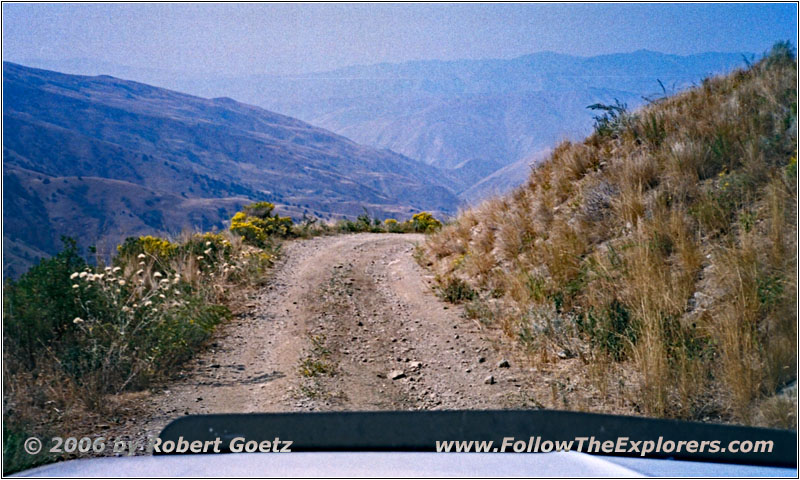
Jonathan Rd/National Forest Develop Rd 024, ID
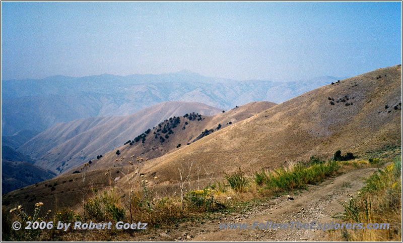
Jonathan Rd/National Forest Develop Rd 024, ID
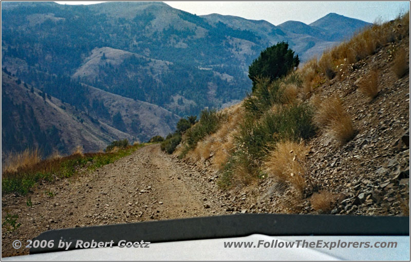
Jonathan Rd/National Forest Develop Rd 024, ID
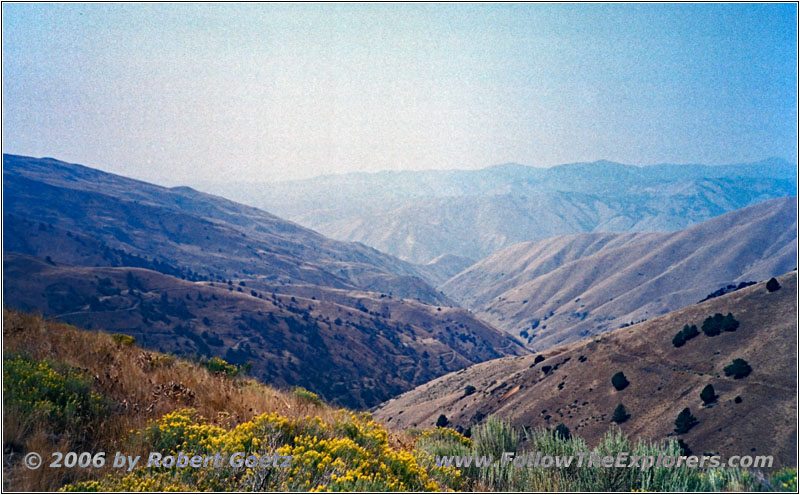
Jonathan Rd/National Forest Develop Rd 024, ID
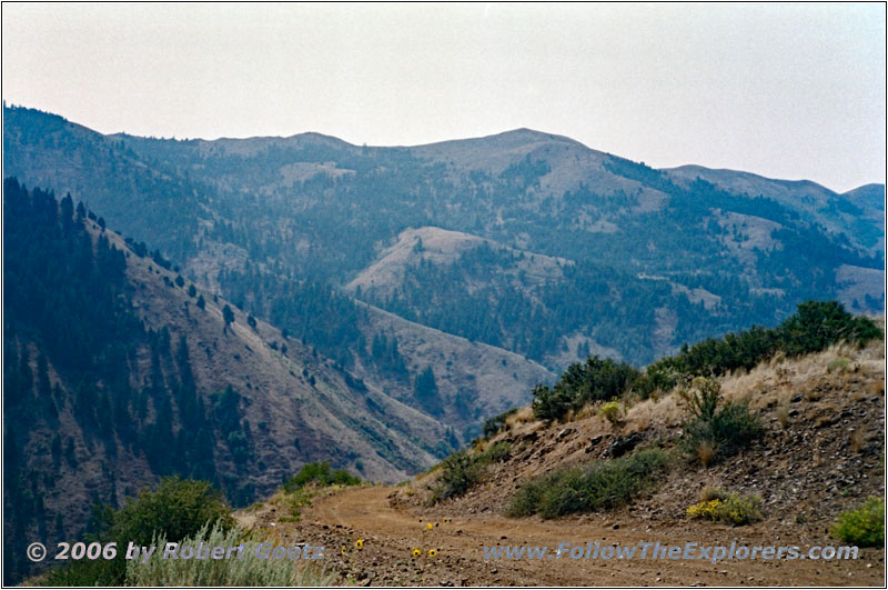
Jonathan Rd/National Forest Develop Rd 024, ID
After several miles the road is getting way smaller and I am finally on the small forest roads.
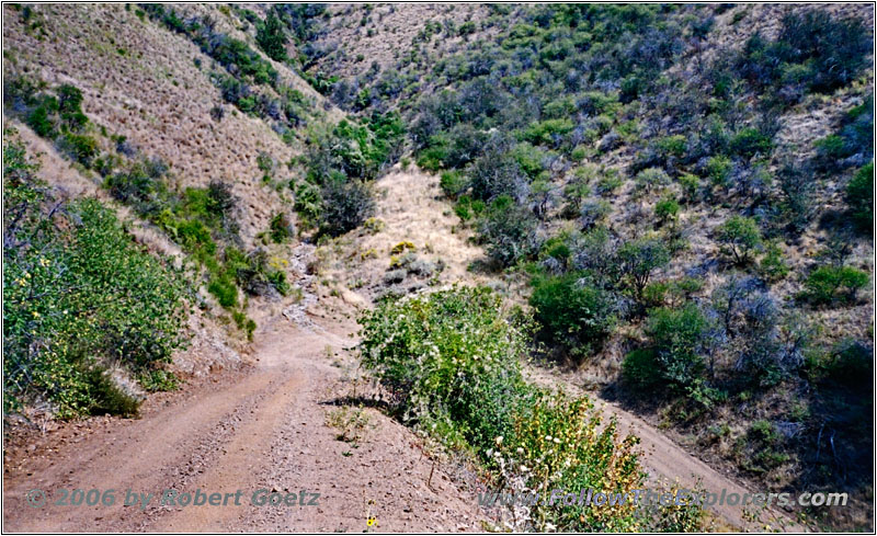
Jonathan Rd/NF-271, ID
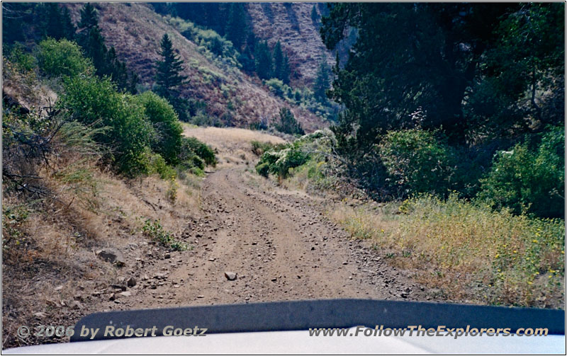
Jonathan Rd/NF-271, ID
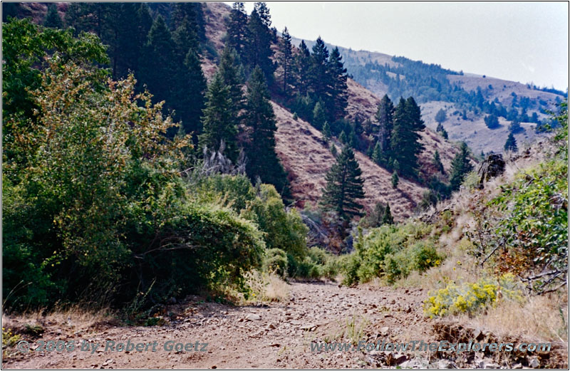
Jonathan Rd/NF-271, ID
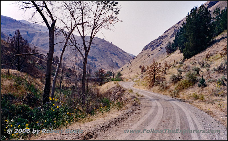
Jonathan Rd/NF-271, ID
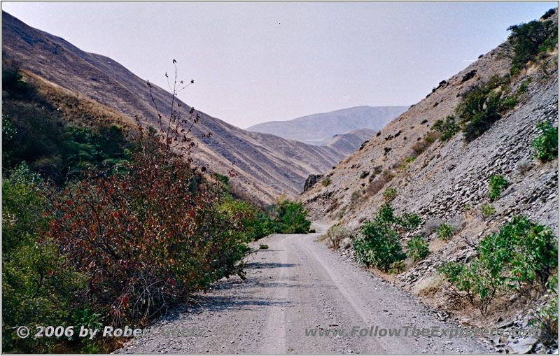
Jonathan Rd/NF-271, ID
There I must learn how steep these hills really are. Even in 4LO I am way too fast going down hill and uphill sometimes my tires start to spin slightly. At one spot I stop to take a picture. I try to apply my parking brake, which is not able to stop the truck from rolling down. So I let her roll slowly into the hill to the point, where the parking brake is able to hold her. After I have taken my picture I get into my car and release the parking brake — at least, this was my intention. But I just have the handle to release my parking brake in my hands!
Great, with a fully applied parking brake I will not be able to move on. So I try to feel the release mechanic of the parking brake system and reach the small lever to release the brakes. Because the brakes are applied extremely hard, I am almost not able to release the lever. Eventually I am successful, but I almost squeeze my fingers in between the metal parts. But because I will need my parking brakes a couple of times in the near future, I am sure I will get some routine here…
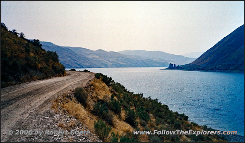
Jonathan Rd/Rock Creek Rd, ID
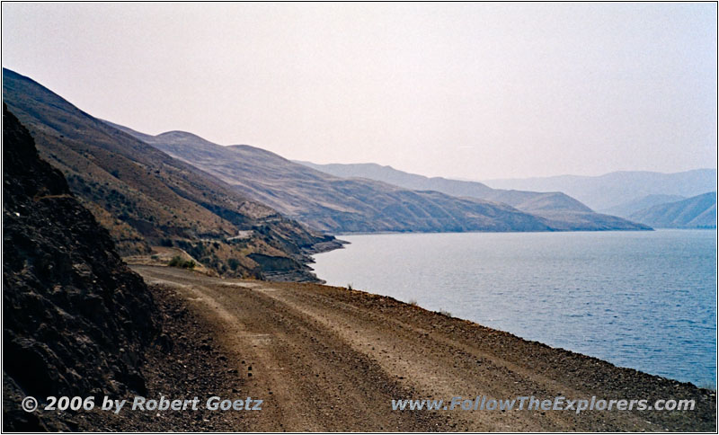
Jonathan Rd/Rock Creek Rd, ID
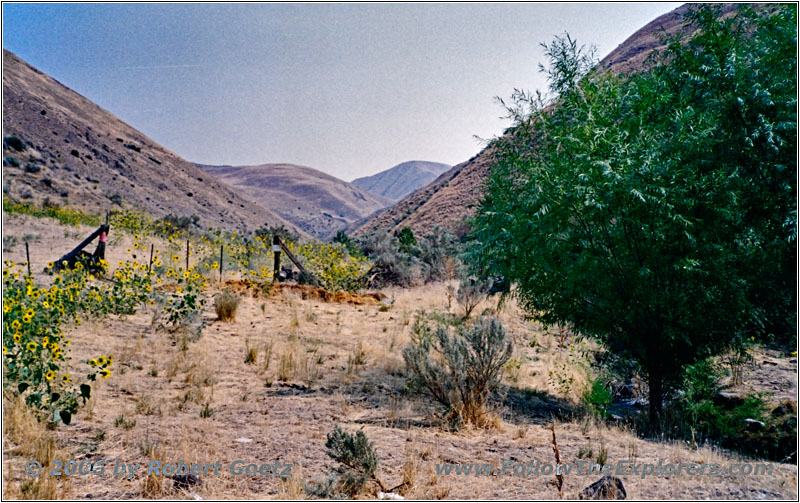
Jonathan Rd/Rock Creek Rd, Wolf Creek, ID
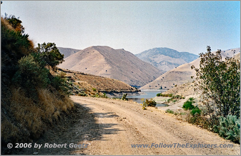
Jonathan Rd/Rock Creek Rd, Snake River, ID
Finally I reach a nice spot for my lunch break. Then I continue my drive to the Snake River. I pass an abandoned mine before I see the dammed river. According to my map, the road should end here. But a wide road now runs along the Snake River in southern direction. So I follow this road, before it enters the hills again after several miles.
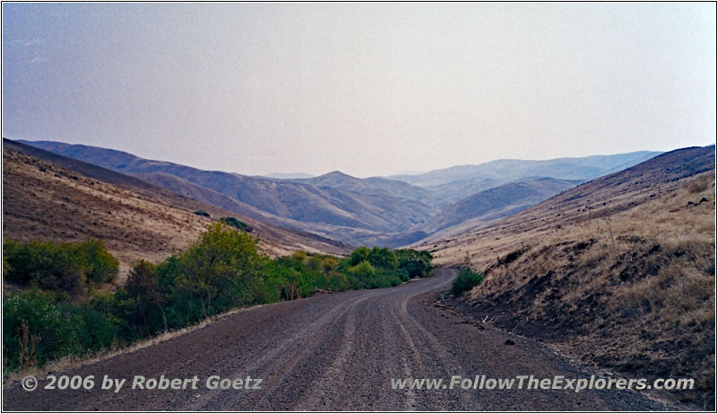
Jonathan Rd/Mineral Rd, ID
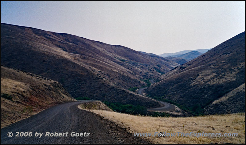
Jonathan Rd/Mineral Rd, ID
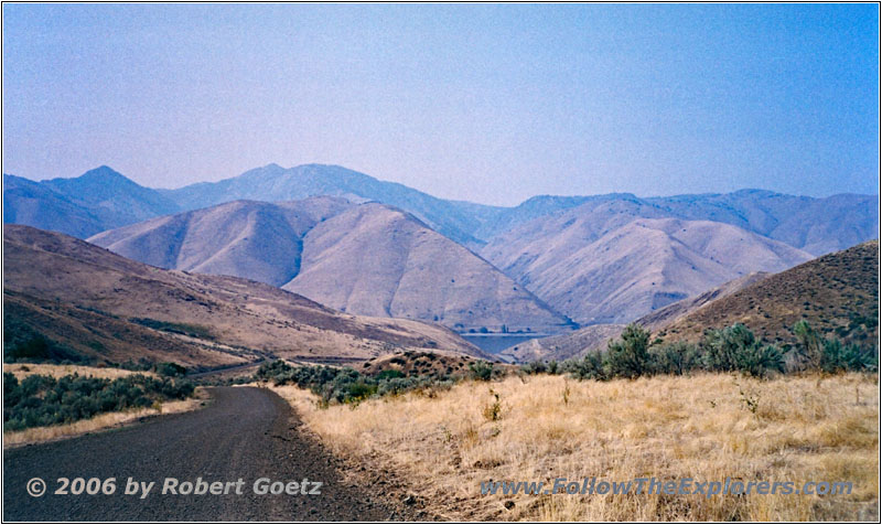
Jonathan Rd/Mineral Rd, ID
With the help of my map and my GPS, I try to reach my originally planned route. But most of the roads in my map are not existent here and the ones, who exist, are mostly not in my map. When I try to reach my originally planned route, I am always stopped by private property until I eventually give up and turn around.
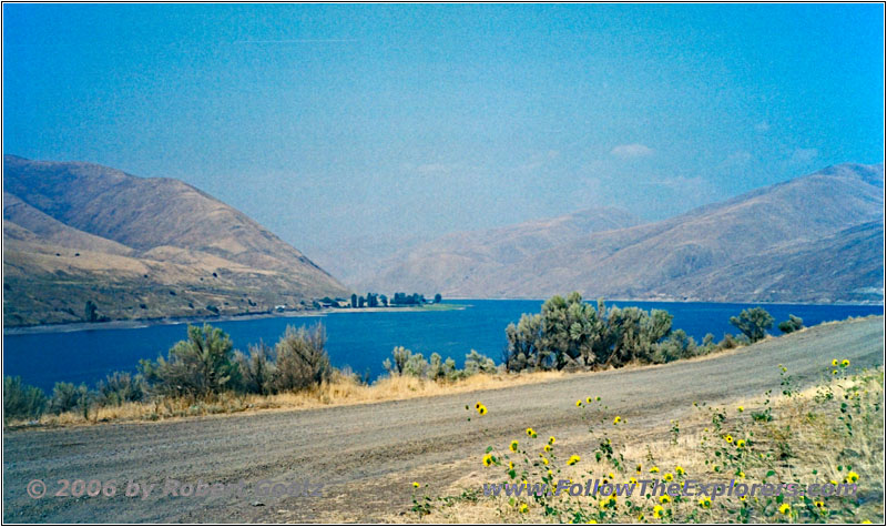
Jonathan Rd/Rock Creek Rd, Snake River, ID
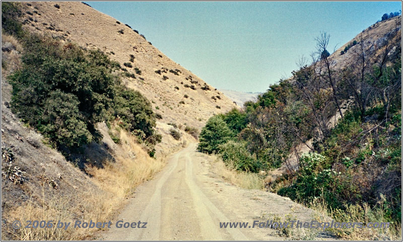
Jonathan Rd/NF-271, ID
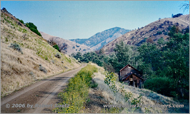
Jonathan Rd/NF-271, ID
I drive all the way back to the spot, where I had my lunch break.
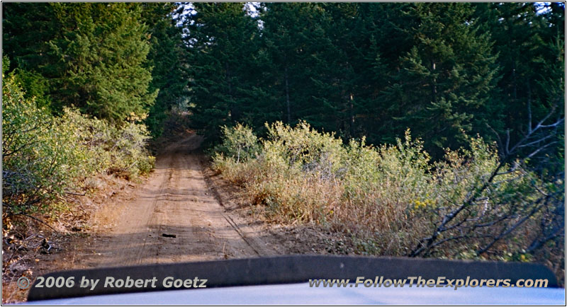
There a small 4WD trail runs in the direction I need. There I am really happy to have my 4LO. It is going really steep uphill and for the first time my engine runs really hot, so I turn on the heat! Then I must cross a mud hole. After that it goes again extremely steep uphill.
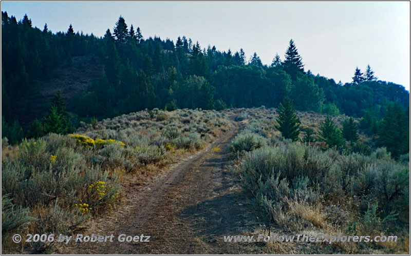
NF-025, ID
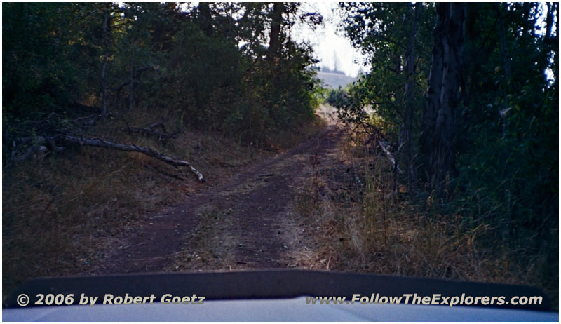
NF-025, ID

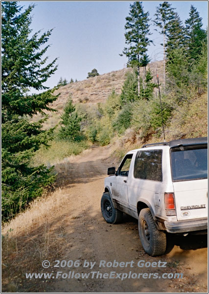
88 S10 Blazer, NF-025, ID
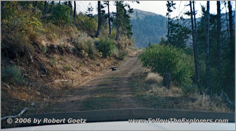
NF-025, ID
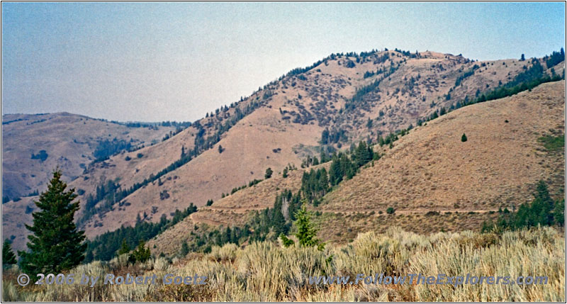
NF-025, ID
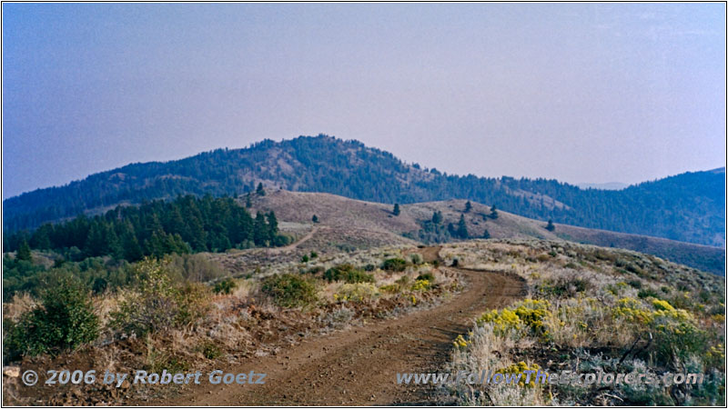
NF-025, ID
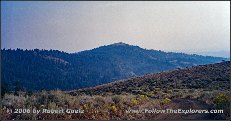
NF-025, ID
NF-025, ID
At a ridge I stop to give my truck the chance to cool down. Slowly it is getting really late and you can see how the shadows from the sun are getting longer. But at least I am on my planned route, even when this road is really bad. But also here my map does not correlate to the real roads around here and I reach a dead end, which suddenly ends in the forest.

Jenkins Creek Rd, ID
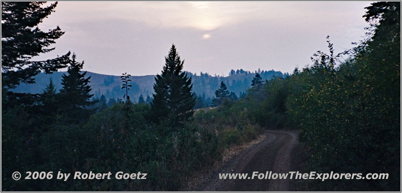
Jenkins Creek Rd, ID
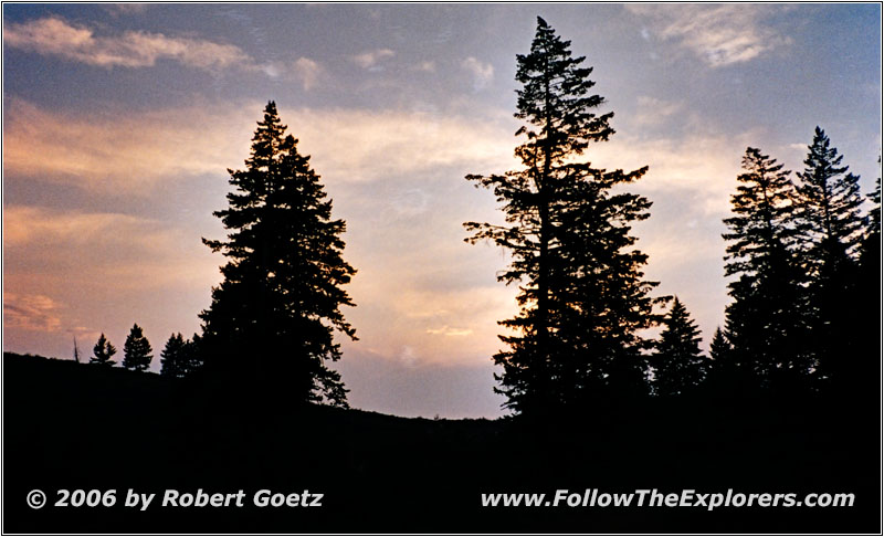
Jenkins Creek Rd, ID
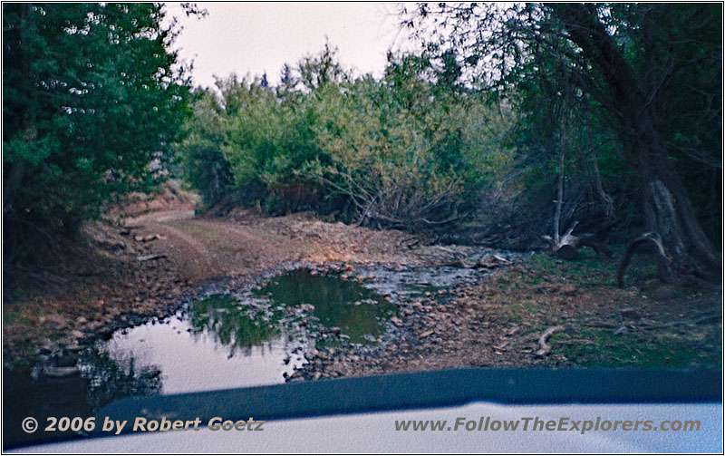
Jenkins Creek Rd, ID
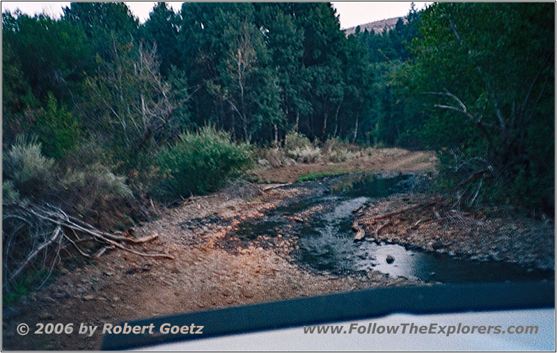
Jenkins Creek Rd, ID
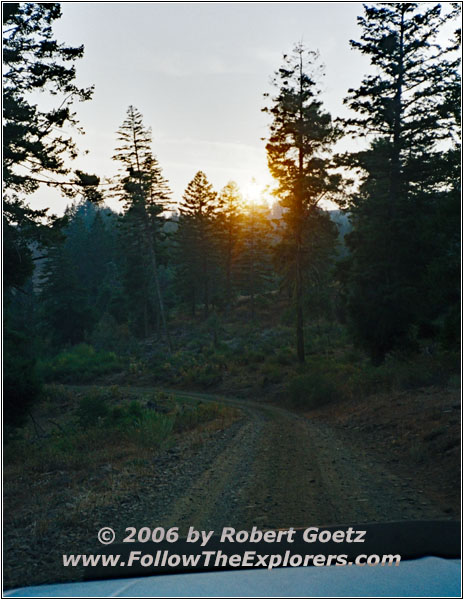
So I must turn around and look for an alternative route. Thanks to my GPS and the recently bought maps I am able to find the correct roads and reach Jenkins Creek Road. Slowly the sunset rolls in and I am able to video tape a nice sunset.
Then I try to leave the backroads as soon as possible. It is not fun to drive gravel roads in the night, especially if you have water on the road and you are not able to see what to expect…
Suddenly I am stopped by a gate and I expect the worst. But it is not a private property closure. You are allowed to trespass. You should just close the gate again after you passed it. Now the night rolls in and I am forced to drive on gravel roads many miles with my headlights before I reach pavement again.
Unfortunately I got lost a bit just before Weiser, which costs me another half an hour. Around 10pm I arrive at the Colonial Motel in Weiser, where I originally planned to stay for this night. Because I am afraid to receive nothing for dinner this late, I ask for a restaurant before I check in. And as I already expected, everything is closed right now. He also suggests to continue to Ontario. So it seems I will spend another night at the Motel 6 there.
Half an hour later I arrive there and check in. I have another brief chat with the manager, to whom I already had a chat yesterday about dinner and my trip. The only place where I can get something for dinner this late is the Country Kitchen at the Best Western Motel. So I go over there. Indeed, I am able to get something for dinner, even when they already close at 11pm. Unfortunately the restaurant is really cold and therefore my food also cools down very fast. Also the food is not really exciting. But always better than having nothing. Around half past eleven I pay and walk back to my motel. Because it is already so late, I skip checking my video taping, although I have video taped more than two hours today…
- Sights
- —
- General
- Breakfast: Denny’s, Ontario
- Dinner: Country Kitchen, Ontario
- Motel: Motel 6, Ontario
- Distance: 86 miles
