Wilson Price Hunt Trail (‘Astorians’) 1811 — 1812
Day 28: September 9th, 2006 Ontario (Hells Canyon)
Because it was really late yesterday, I totally sleep in today. Lucky me, the Denny’s is pretty close and the service is like yesterday. Then I drive over to the next gas station. This time I cross the state line to Idaho to have the chance to clean my windows by myself. Unfortunately the printer at the pump is out of paper. But I am able to receive a receipt at the counter.
Around half past ten I am able to depart. This time I follow the west banks of the Snake River to the north.
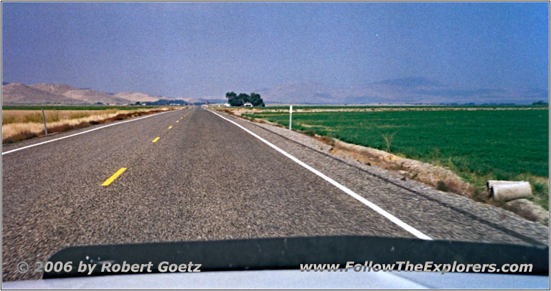
Highway 201/Olds Ferry-Ontario Hwy, OR
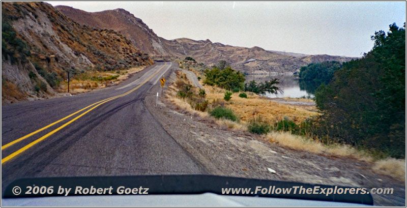
Highway 201/Olds Ferry-Ontario Hwy, OR
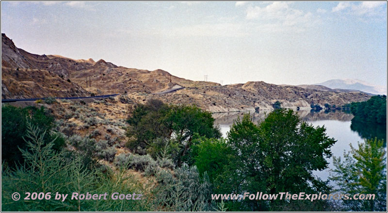
Highway 201/Olds Ferry-Ontario Hwy, OR
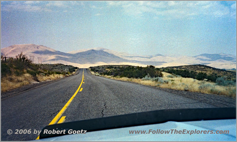
Highway 201/Olds Ferry-Ontario Hwy, OR
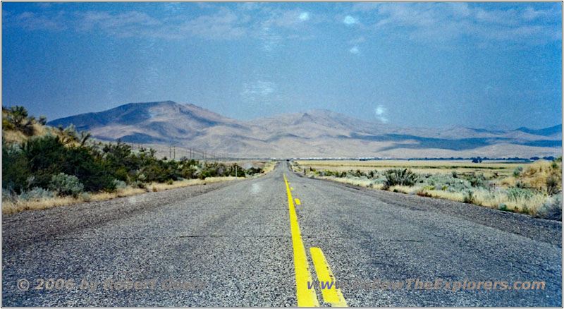
Highway 201/Olds Ferry-Ontario Hwy, OR
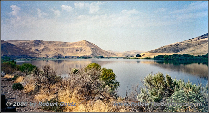
Highway 201/Olds Ferry-Ontario Hwy, OR
First I take the well established Highway 201.
Then I drive a short stretch on I–84.
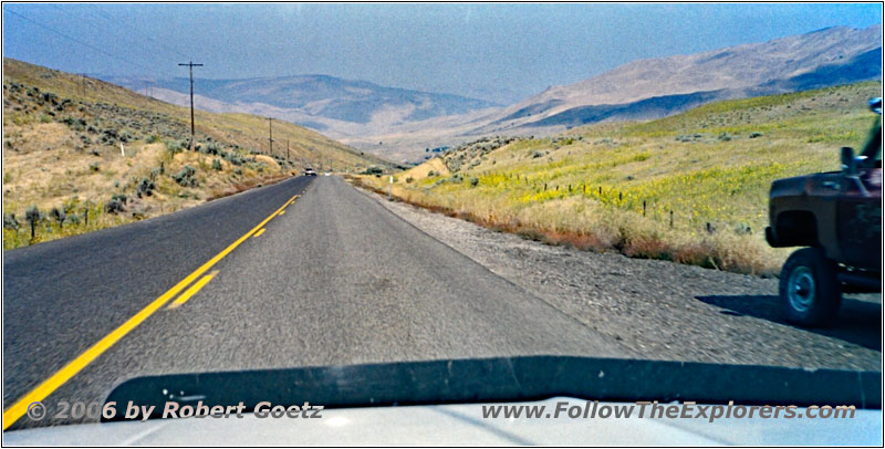
BUS30/Oregon Trail Blvd, OR
Finally I reach my gravel roads near Huntington.
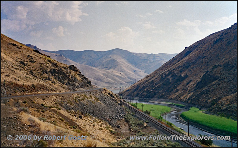
Snake River Rd, Burnt River, OR
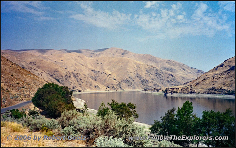
Snake River Rd, Snake River, OR
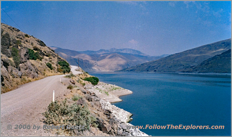
Snake River Rd, Snake River, OR
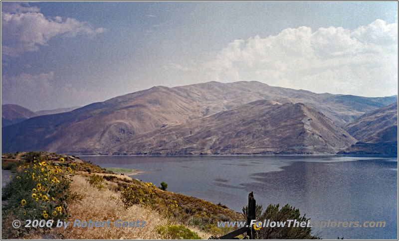
Snake River Rd, Snake River, OR
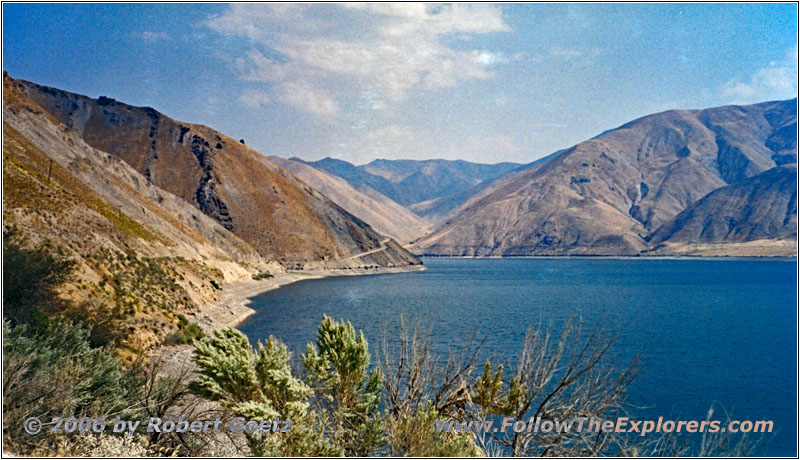
Snake River Rd, Snake River, OR
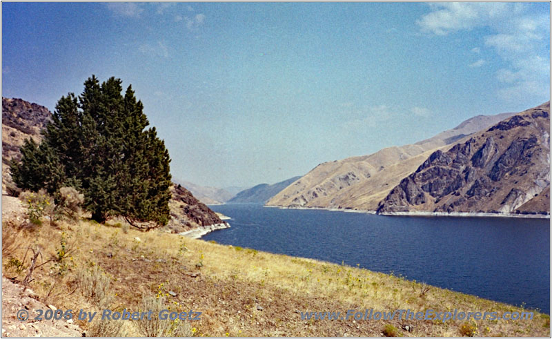
Snake River Rd, Snake River, OR
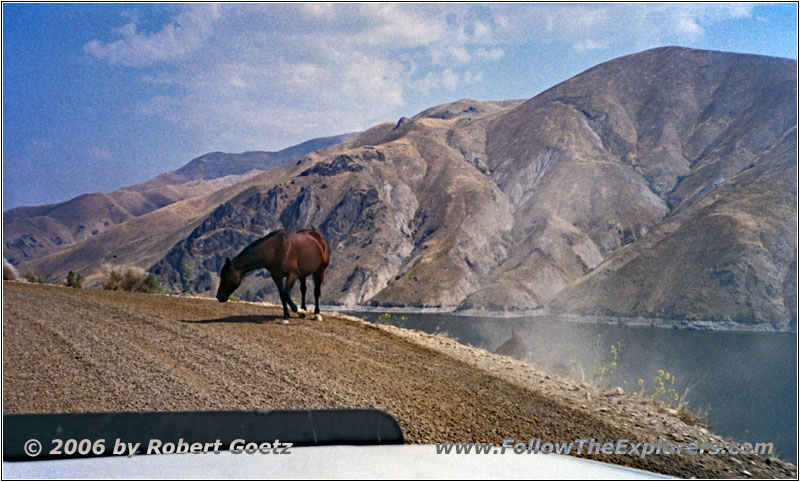
Horse on Snake River Rd, Snake River, OR
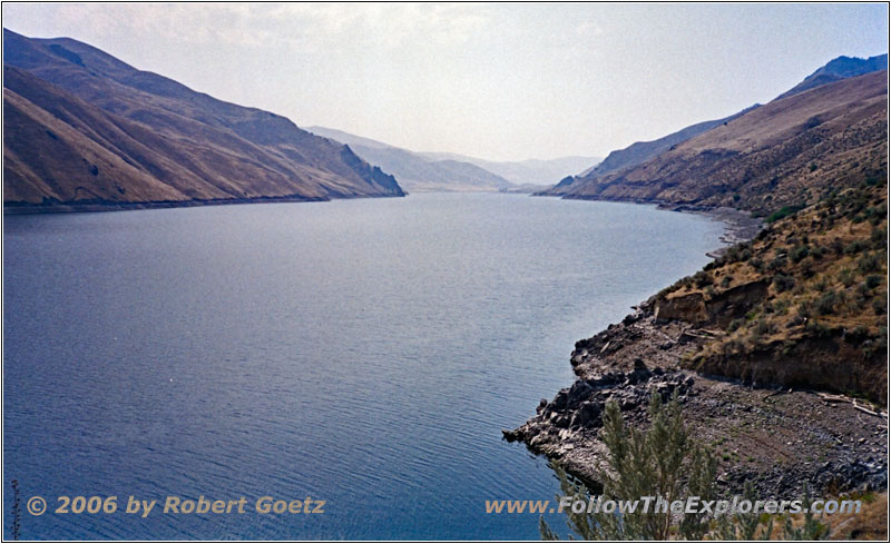
Snake River Rd, Snake River, OR
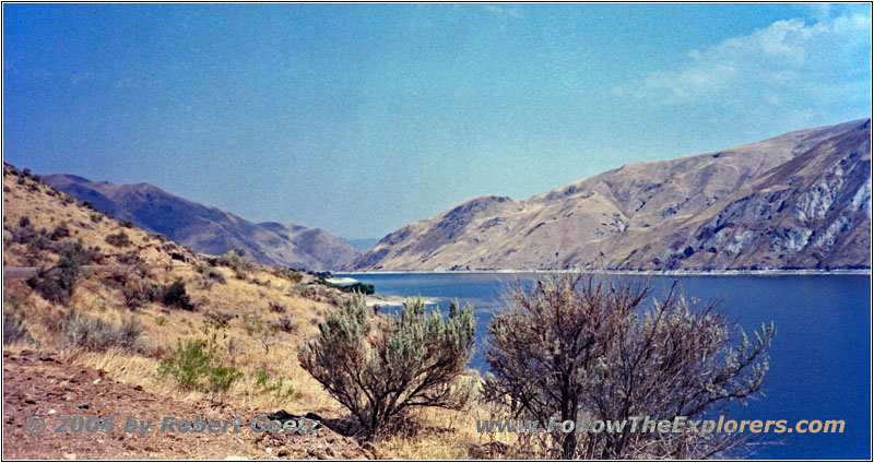
Snake River Rd, Snake River, OR
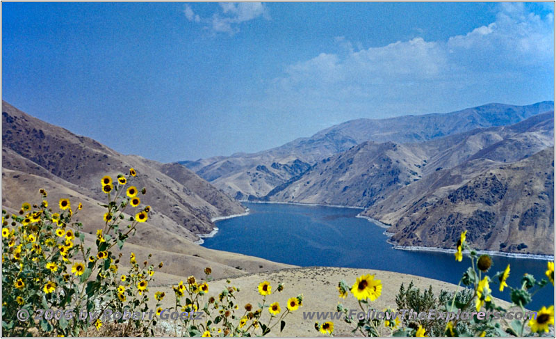
Snake River Rd, Snake River, OR
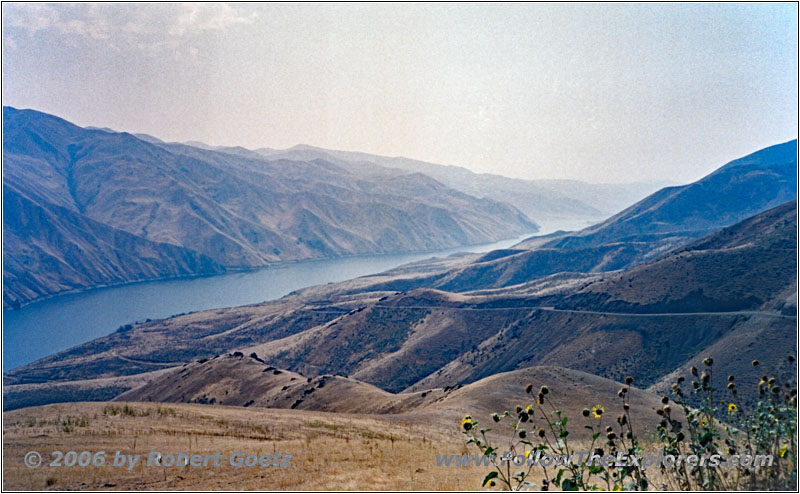
Snake River Rd, Snake River, OR
Unfortunately the whole road along the Snake River is a bad washboard road and hardly to drive on — only if you drive way too fast…
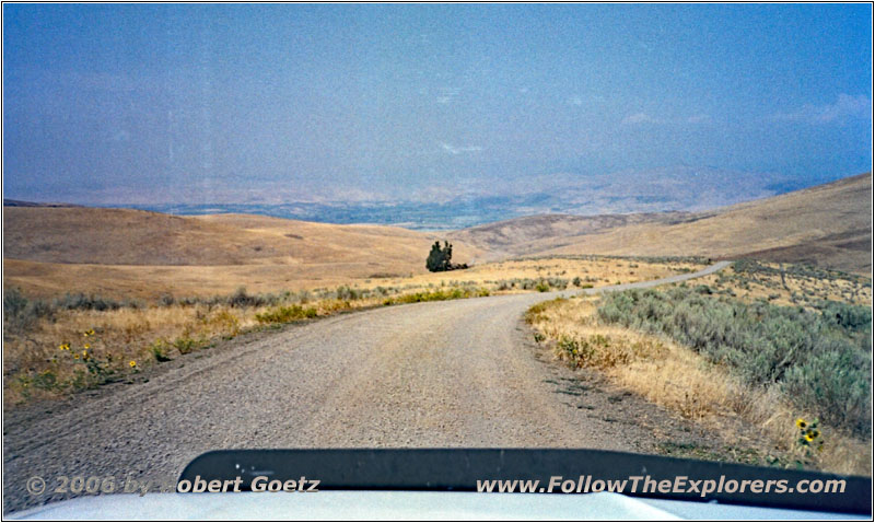
First St, OR
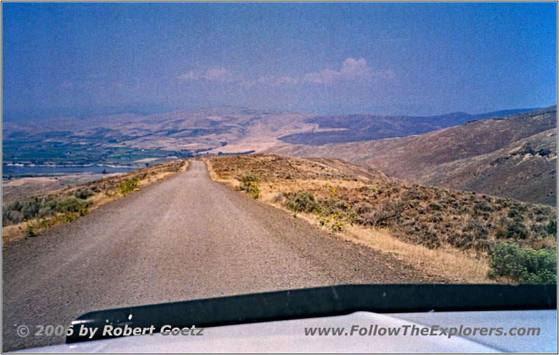
First St, OR
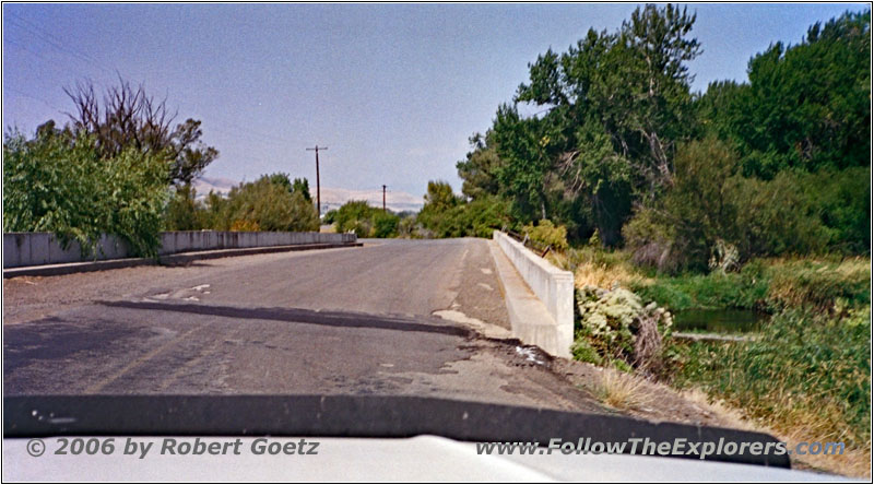
First St/Snake River Rd, Eagle Creek, OR
But the views of the river are fantastic. Especially when the road runs up to the canyon rim, you have a magnificent view of the whole area.
Then the gravel road runs away from the river to Highway 86.
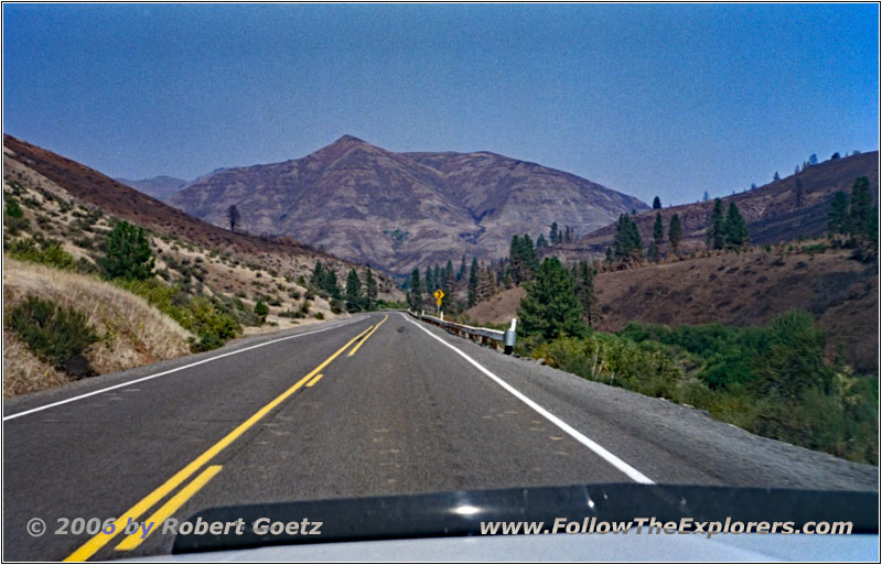
Highway 86, OR
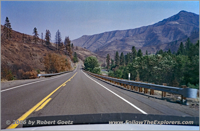
Highway 86, OR
On this highway I drive in direction of Hells Canyon. I also planned to spend the night in Halfway. But this village doesn’t seem to be really big and have a choice of restaurants. I decide to leave this decision on my return of Hells Canyon. But I already tend to drive to Ontario, especially because I planned to drive there to tomorrow anyway.
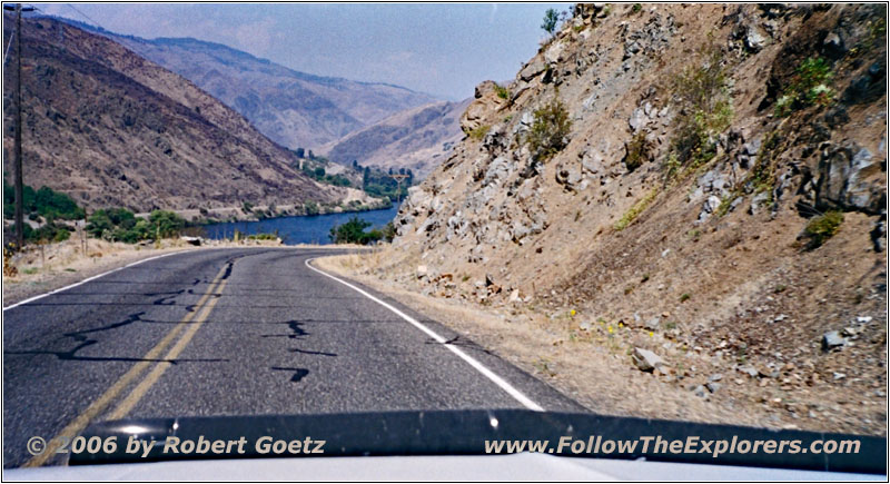
Hells Canyon Rd/NF-454, ID
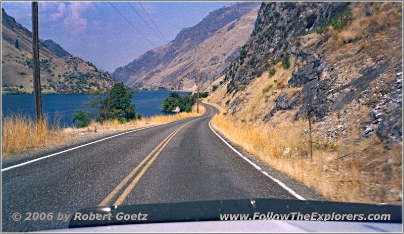
Hells Canyon Rd/NF-454, ID
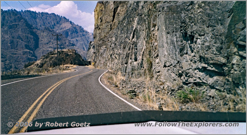
Hells Canyon Rd/NF-454, ID
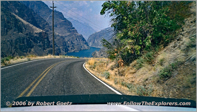
Hells Canyon Rd/NF-454, ID
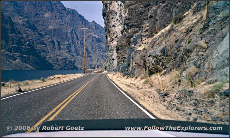
Hells Canyon Rd/NF-454, ID
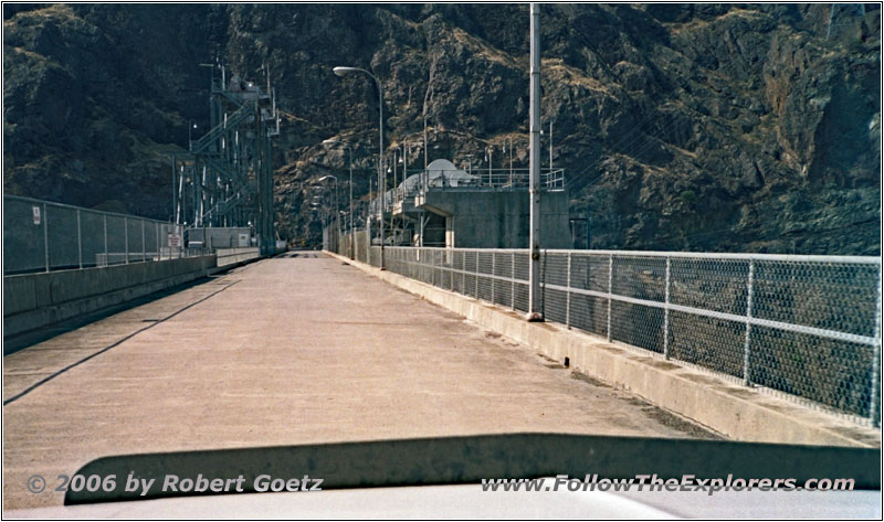
Hells Canyon Reservoir Dam, ID
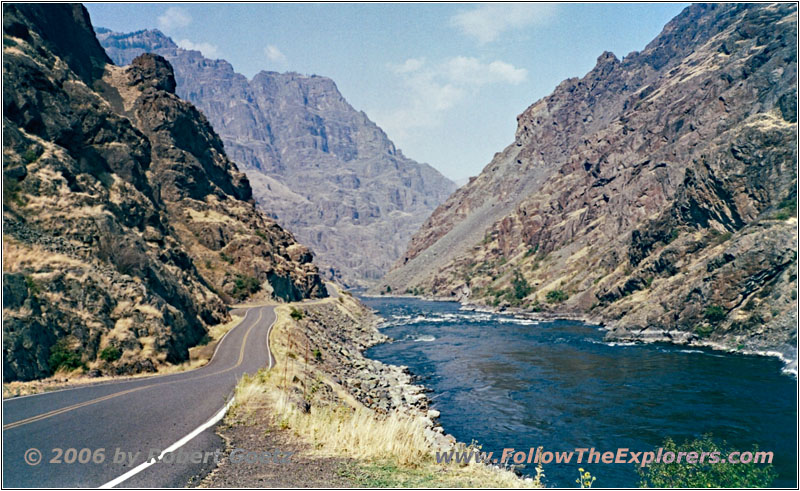
Hells Canyon Rd, Snake River, ID
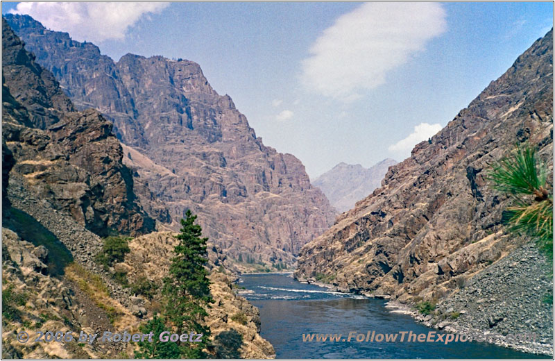
Hells Canyon Rd, Snake River, ID
But for now I drive on paved roads to Copperfield. To my surprise, the roads to Hells Canyon are all paved. Therefore I am able to make good progress — even with all the stops for taking pictures. At the end of this road is a Ranger Station. There I buy some maps of this area. All in all I would like to leave this area on backroads. But as I have already seen on my maps, there is only an exit at the end of this canyon to drive up on a ridge and to leave the canyon there on a different route.
Unfortunately I am missing the time to do some hikes into the canyon . Therefore I just do a quick movie, when one of the excursion boats are riding through the Snake River rapids.
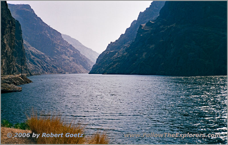
Hells Canyon Rd/NF-454, Snake River, ID
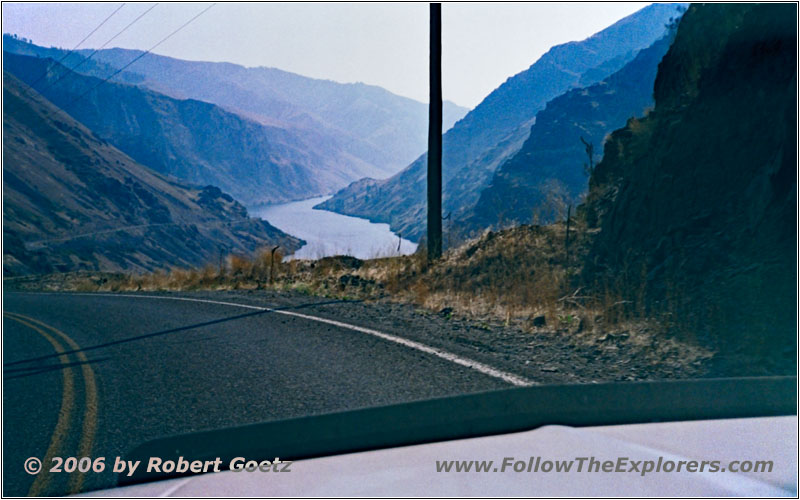
Hells Canyon Rd/NF-454, Snake River, ID
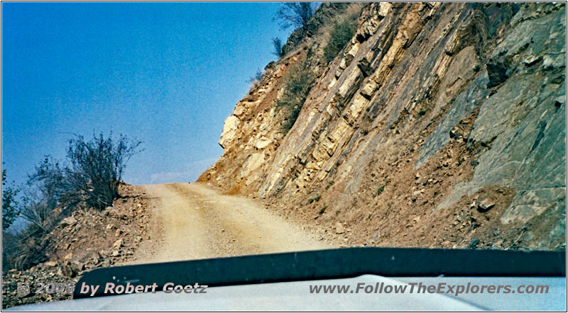
Council-Cuprum Rd, ID
Then I drive back to the exit for the canyon rim. The road is pretty steep and the engine and transmission are starting again to be running hot. Also my truck suddenly has lost all of its power. When in idle, the engine even stalls. I give her time to cool down. Then I proceed on. But the truck still has issues. Because of these issues, I am not able to enjoy the picturesque views from up there.
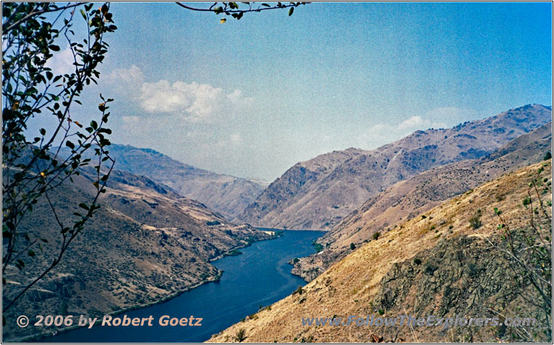
Council-Cuprum Rd, Snake River, ID
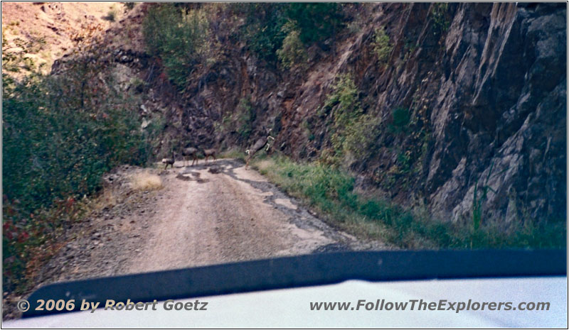
Deer, Council-Cuprum Rd, ID
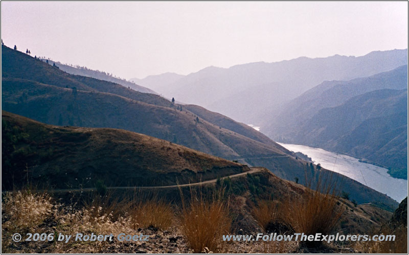
Council-Cuprum Rd, Snake River, ID
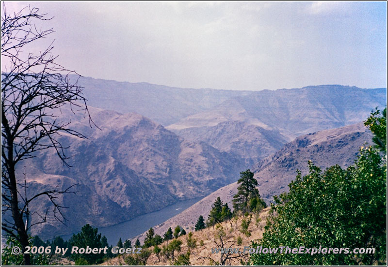
Council-Cuprum Rd, Snake River, ID
Eventually I reach the canyon rim — and despite all this trouble I have the chance to video tape some deer, while they are trying to flee in front of me along the road. At the branch to the small forest road in southern direction, I stop and try to wiggle a bit on the vacuum hoses. Suddenly my truck runs normal again. Or maybe it is still a temperature issue?
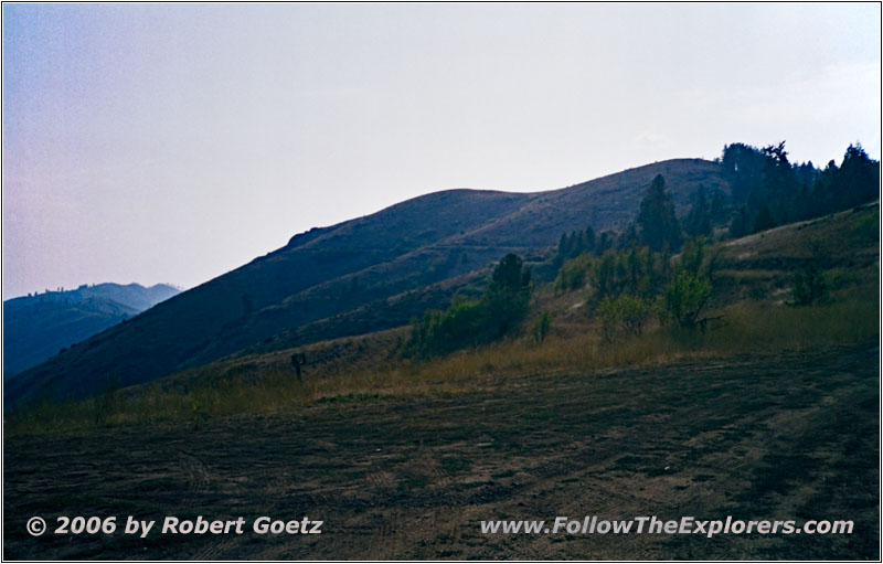
Windy Ridge Rd/NF-072, ID
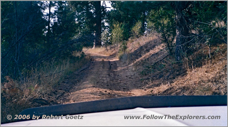
Windy Ridge Rd/NF-072, ID
I drive the small forest road along the Windy Ridge Road. But after about a mile, the road is suddenly closed! Great! It is really perfect, that you are not able to turn around at this spot. Therefore I must backup for around half a mile until I reach a curve, where I have just enough space to turn around.
In regular direction, driving the rest of the road is way faster. On my map I see, that there should be an alternative route more to the east. But after a couple of miles driving there I am convinced that this will also not work out, because I am no longer able to figure out, where the road runs along.
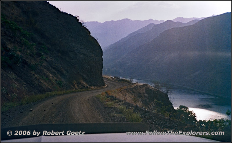
Council-Cuprum Rd, Snake River, ID
Therefore I turn around pretty disappointed and drive all the way back down to the Snake River and the paved main road out of the canyon.
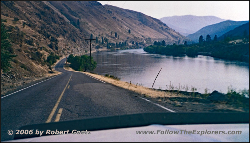
Hells Canyon Rd/NF-454, Snake River, ID
In the meantime I have a lost a lot of time. But despite all of this I decide to drive all the way on to my tomorrow planned road to Ontario.
Because I am traveling on paved roads, I should be able to proceed really fast, even when this are more than 100 miles. However, I still hope, that I will not run out of gas. But if everything fails, I still have my spare cans.
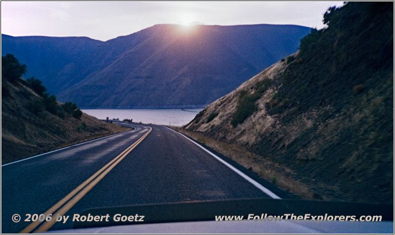
Highway 71, Snake River, OR
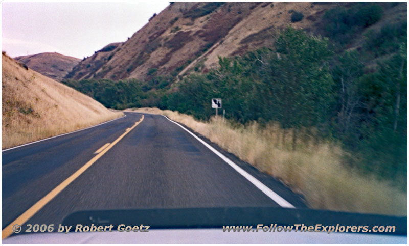
Highway 71, OR
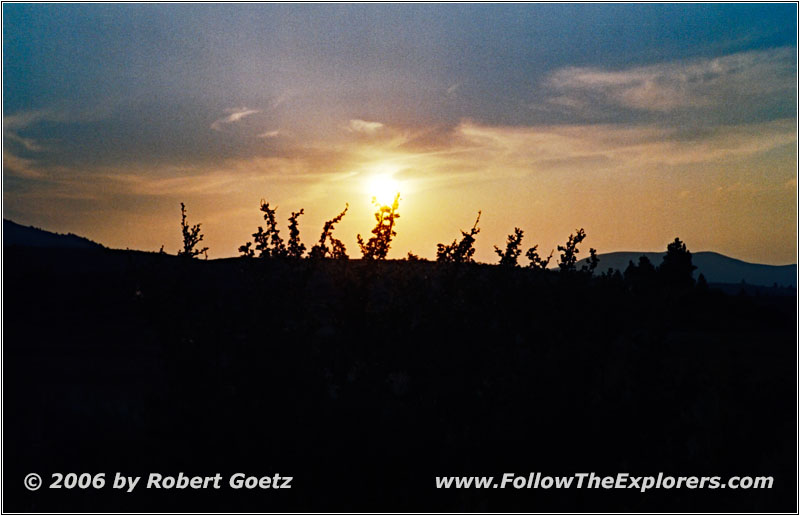
Sunset, Highway 71, OR
Around half past six I follow Highway 71 along the Snake River in southern direction. To my surprise, here is a speed limit of 25mph. Therefore I am not able to proceed really fast. But therefore I am able to enjoy the river views, which is absolutely picturesque with the low standing sun.
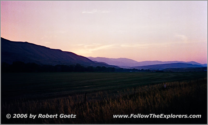
Sunset, Highway 71, OR
Finally I leave the river and the regular speed limit of 55 and 65mph applies. Just past Cambridge I reach Highway 95, which takes me back to Weiser.
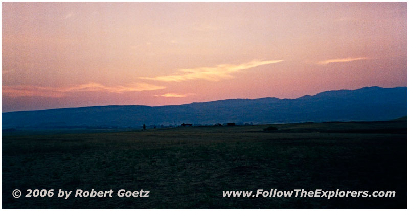
Sunset, Highway 95, OR
On Highway 95 I drive through Midvale.
In the meantime it is night again. On the road from Weiser to Ontario, I drive in endless mosquito and fly swarms. Nonstop, insects are getting smashed on my windshield. This is the first time that I am really happy to have my bug deflector.
Around 9pm I arrive in my almost favorite Motel 6 in Ontario. The owner again greets my friendly. Unfortunately they had a complete computer breakdown. All information about occupied rooms are lost. They must be put in manually again. But just from memory they know one free room, which is guaranteed free. And to my surprise, this is even on first floor!
I quickly put my stuff into the room. Then I walk again to the Country Kitchen. This time I choose a better dinner. But the service is still pretty slow. At the table next to me is a German couple with two kids, which are pretty noisy and not well educated. Lucky me, no one recognizes that I am German.
Around a quarter past ten I pay and walk back to my motel. There I send a birthday text message before I go to bed. I must check the video taping of today by tomorrow, because I am too tired today. And I also need some video tapes from Wal–Mart tomorrow.
- Sights
- Hells Canyon
- General
- Breakfast: Denny’s, Ontario
- Dinner: Country Kitchen, Ontario
- Motel: Motel 6, Ontario
- Distance: 283 miles
