Wilson Price Hunt Trail (‘Astorians’) 1811 — 1812
Day 30: September 11th, 2006 La Grande — Pendleton
I have seen a Denny’s yesterday, when I was searching for a motel. This is where I have breakfast today, because there was nothing nicer on my way to the restaurant. Then I drive over to the Texaco gas station. This is also a full service gas station, as usual for Oregon. But at least I am allowed to clean my windshield myself.
Around nine I depart and drive to the Interstate. The first incline of the pass can only be reached on the Interstate.
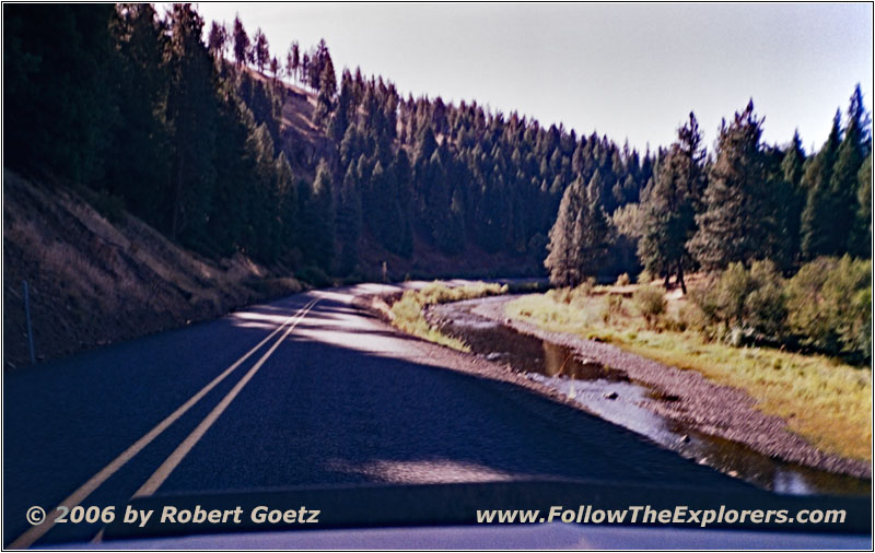
Highway 244/S Point Creek Rd, Grande Ronde River, OR
Then I take Highway 244 to the Whitman National Forest. One of my recently baught maps shows me a road, which was not on my original maps. Therefore I hope that I am able to cross the mountains on the backroads in a way where I arrive at McKay Creek…
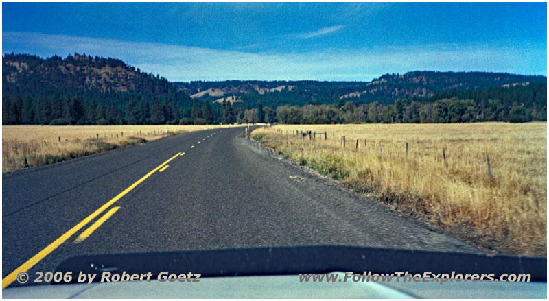
Highway 244/Ukiah-Hilgard Hwy, OR
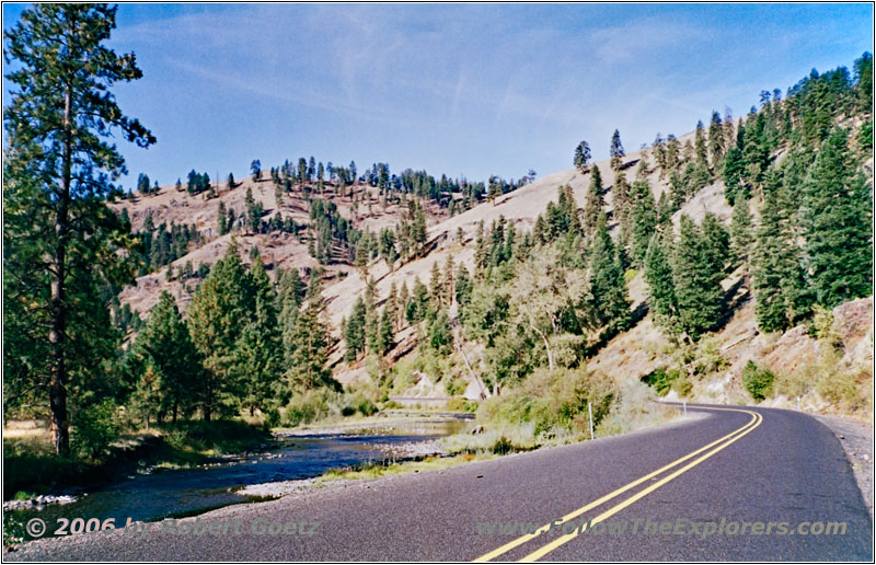
Highway 244/Ukiah-Hilgard Hwy, Grande_Ronde River, OR
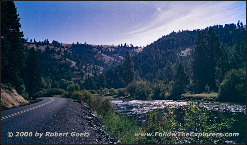
Highway 244/Ukiah-Hilgard Hwy, Grande_Ronde River, OR
First I drive along the Grande Ronde River. The road follows this picturesque river very close. You literally could stop every couple of yards for pictures and video taping.
Finally I reach the exit to McIntyre Creek in northern direction. Unfortunately I get lost in this chaos of small forest roads, which are not on my original map. But with the help of my new precise forest maps, which I just bought, I am able to find the right road.

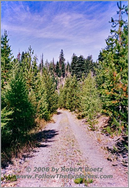
Backroad, OR
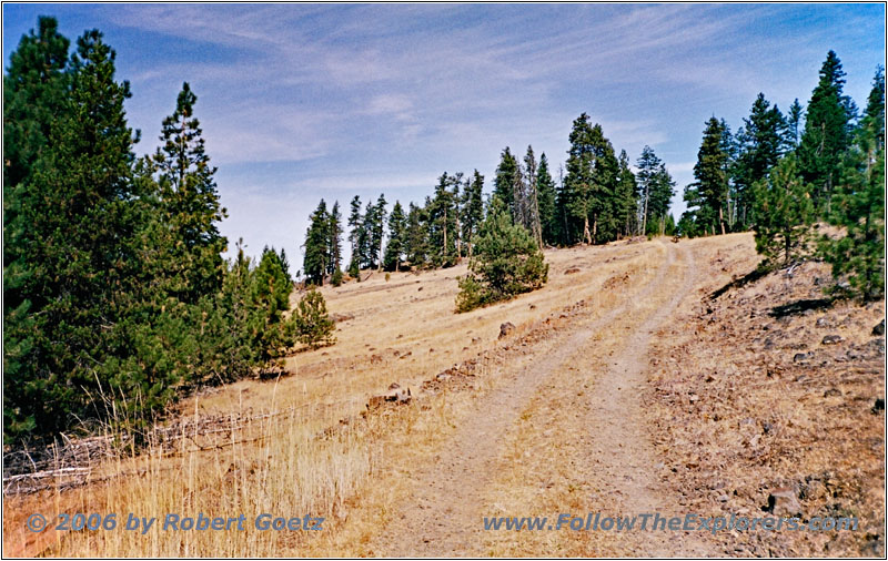
Backroad, OR
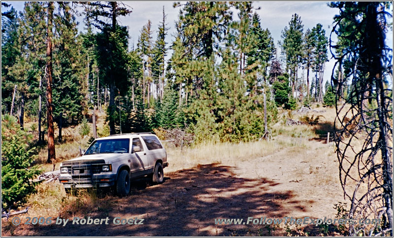
88 S10 Blazer, Backroad, OR
Unfortunately I must realize, that I am not able to reach my destination on the road shown in this forest map. A stop sign of the Umatilla Indian Reservation stops my progress. Therefore I must look for another route.
There is also a second road shown on the forest map, which I try. But I am stopped again by private property and I must turn around. Because the area around here is really nice and it is also good time for a lunch, I will have a short break here.
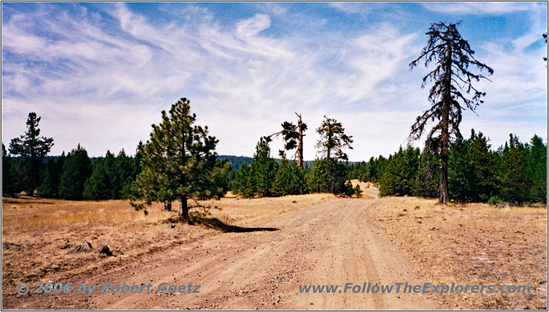
NF-21, OR
Then I drive back and follow the forest road to Indian Lake. This road also takes me through Indian Reservations, but I am allowed to drive here.
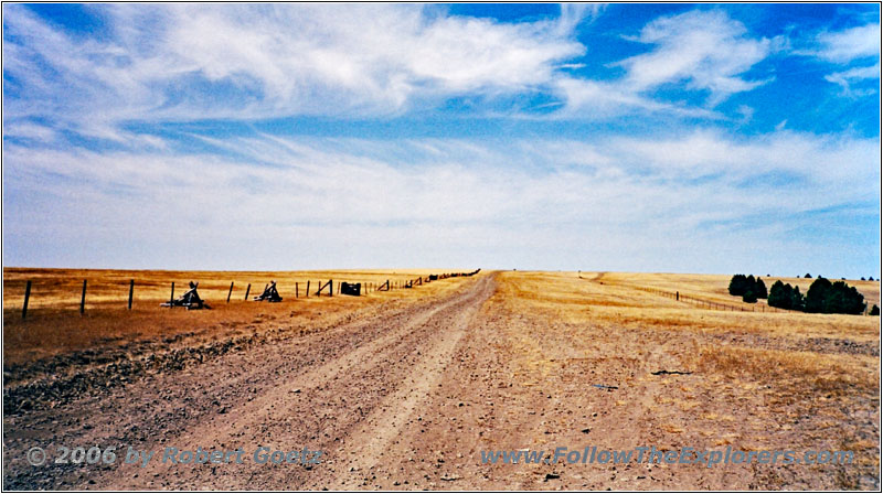
Rocky Ridge Rd, OR
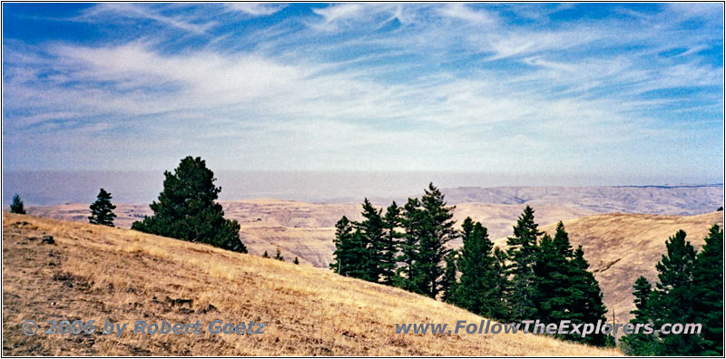
Rocky Ridge Rd, OR
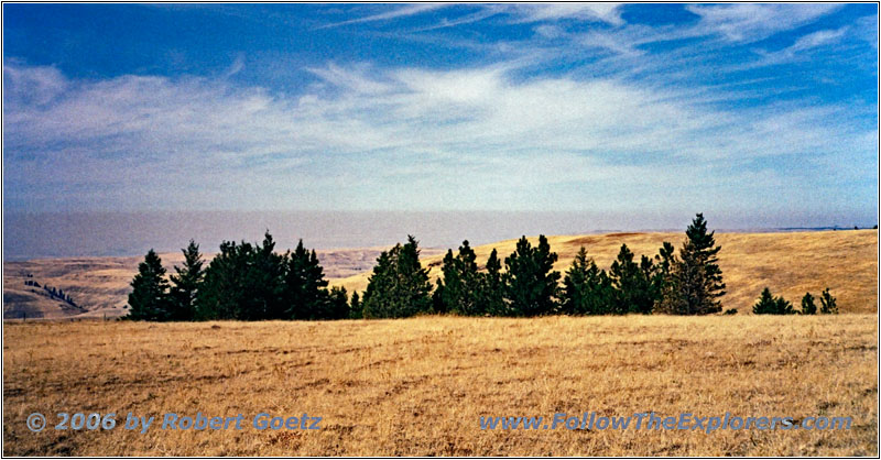
Rocky Ridge Rd, OR
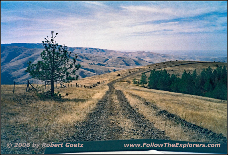
Rocky Ridge Rd, OR
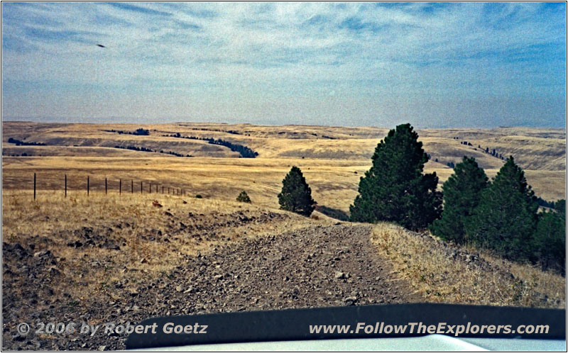
Rocky Ridge Rd, OR
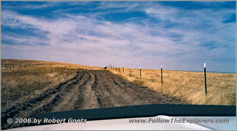
Rocky Ridge Rd, OR
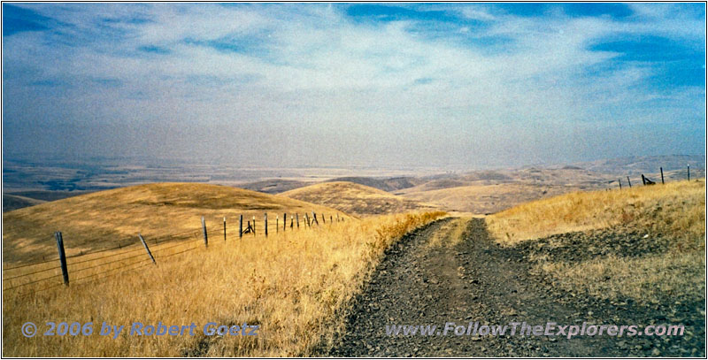
Rocky Ridge Rd, OR
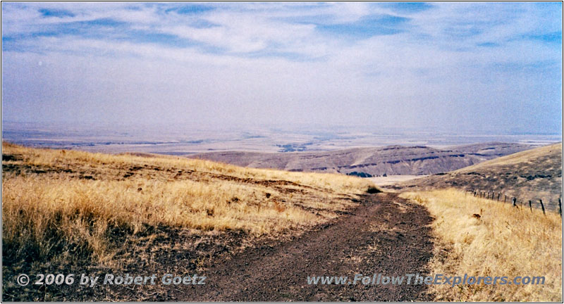
Rocky Ridge Rd, OR
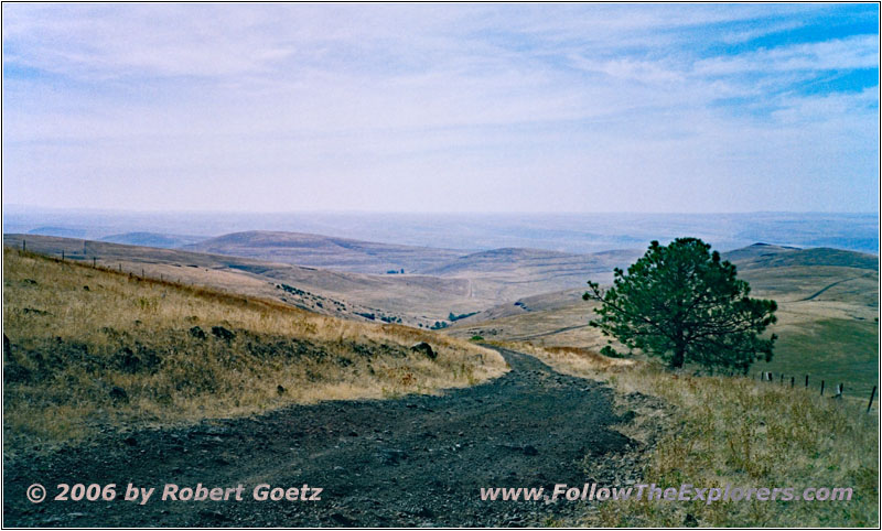
Rocky Ridge Rd, OR
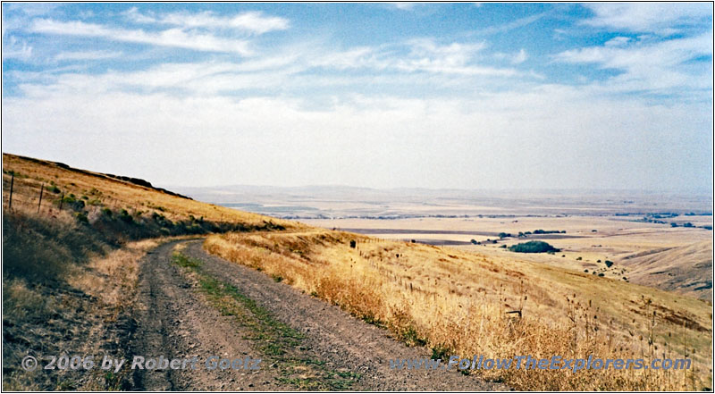
Rocky Ridge Rd, OR
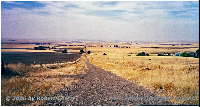
Rocky Ridge Rd, OR
Finally I reach the exit to Rocky Ridge Road. Already after a brief ride on this road I realize, that the road name is really descriptive. The rocks are not big but the road all in all is so rocky, that I eventually switch to 4LO to not drive too fast over all the rocks. Lucky me, I already planned for a bad road. That’s why I am still staying within my schedule — indeed, I am even able to gain back the lost hour due to getting lost before. And the views from this ridge are unique!
Back in the valley I try to drive my original planned road now from the other side as far as possible.
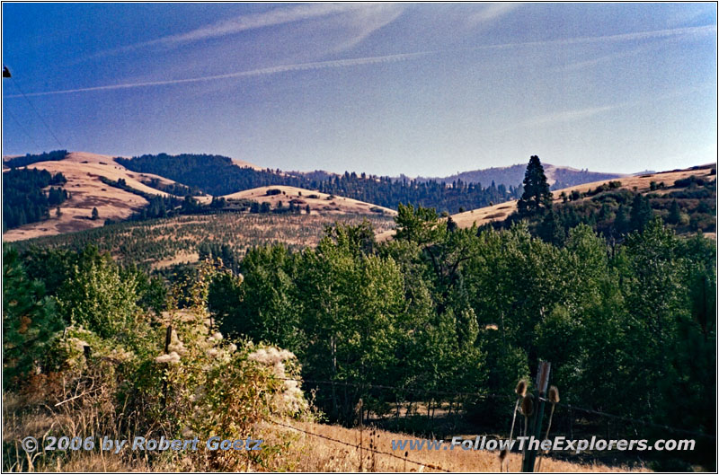
McKay Creek Rd, OR
Therefore I follow now McKay Creek until I am stopped again by private property. Also this road takes me way further than drawn on my map. Anyways, I must travel on almost 20 miles of extreme bad washboard gravel roads. At the end of the road I take some pictures of the mounatin range, which I originally planned to cross and which was also crossed by Hunt.
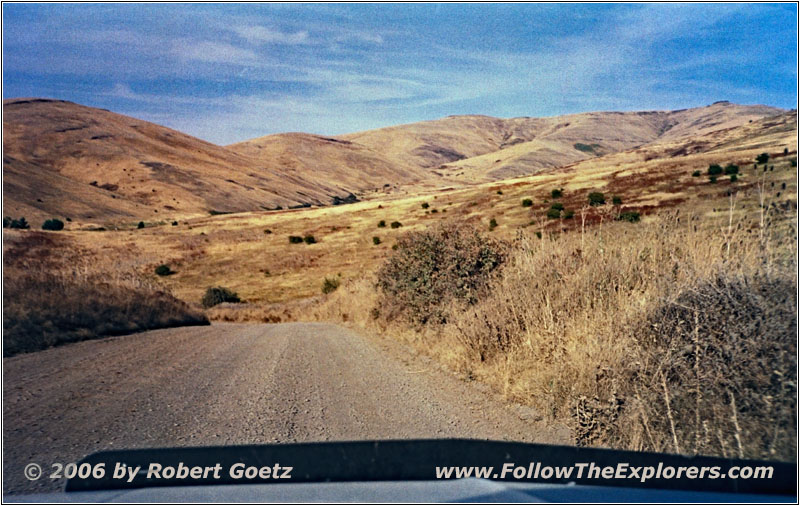
County 1050 Rd/Sumac Rd, OR
Then I turn around and I am back on my way to the west.
McKay Creek finally takes me to my destination of today, Pendleton. I must drive one exit on the Interstate to the east before I arrive at the local Motel 6. Around a quarter to six I check in and put my stuff into the room. Then I check my video taping of today.
In the phone book is the Stetsons House of Prime, which looks a bit expensive. Therefore I drive through town one time to look for an alternative. But in the end, I like this one the most. Around 9pm I enter the restaurant and receive my table after a short waiting. The restaurant is really cozy and classy. This is also reflected in the menu prices. Nevertheless, I go for the menu of the day: Sirloin and shrimps, whereas the shrimps are already gut. The dinner is excellent and the sirloin is as tender as usually the filet are. For such a great dinner, I am happy to pay a bit more! Around a quarter past ten I pay and leave the restaurant absolutely full.
- Sights
- —
- General
- Breakfast: Denny’s, La Grande
- Dinner: Stetsons House of Prime, Pendleton
- Motel: Motel 6, Pendleton
- Distance: 168 miles
