Wilson Price Hunt Trail (‘Astorians’) 1811 — 1812
Day 31: September 12th, 2006 Pendleton — Troutdale
Next to my motel is a Shari’s, which is a chain like Denny’s — but which I have only seen in the West up to now. However, the breakfast is pretty expensive and into the bargain the server calls me a tourist. When I try to explain to her that I am a traveler and not a tourist, she just gives me a questioning look and walks away. Seems to me that she did not get the difference…
After breakfast I drive once again down the hill into the city to a gas station. The Shell down here is a couple of cents cheaper than the one directly at the Interstate and close to my motel. This is also a gas station with service and the black guy, who cleans my windshield, is a real funny guy. So I have a nice chat with him. He tells me, that he had even seen a bear in the mountains a couple of days ago!
Around half past nine, I depart. First I take the Interstate one exit to the west.
Then I continue on Old Pendleton River Road and along the Umatilla River banks.
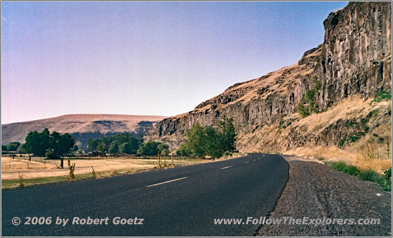
Rieth Rd, OR
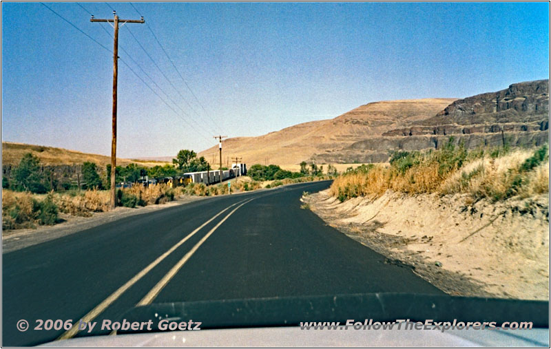
Rieth Rd, OR
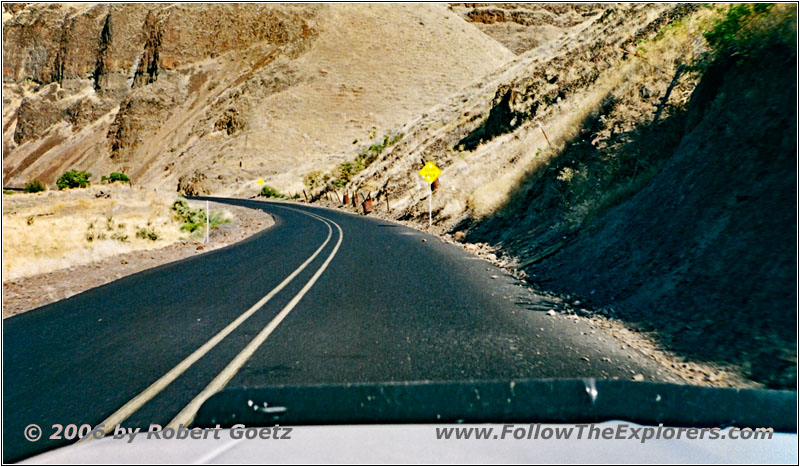
Rieth Rd, OR
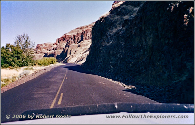
Rieth Rd, OR
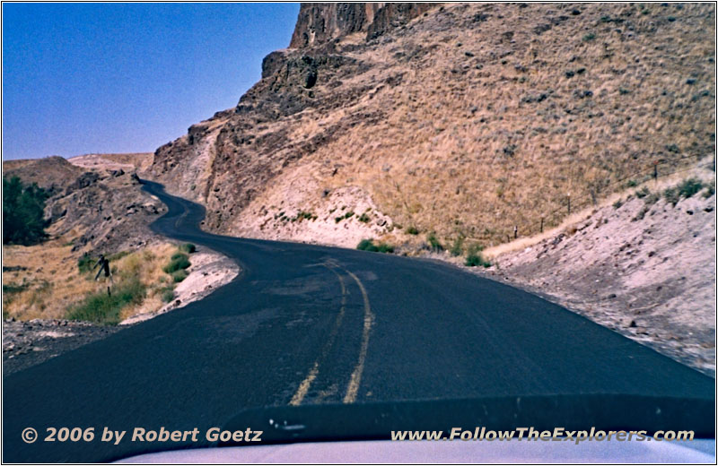
Rieth Rd, OR
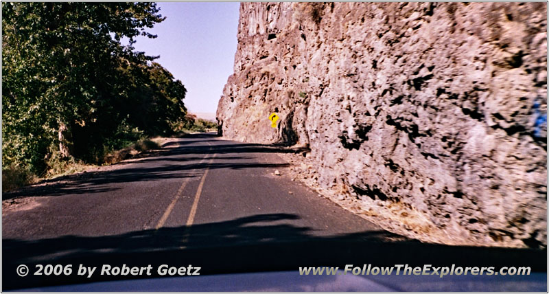
Rieth Rd, OR
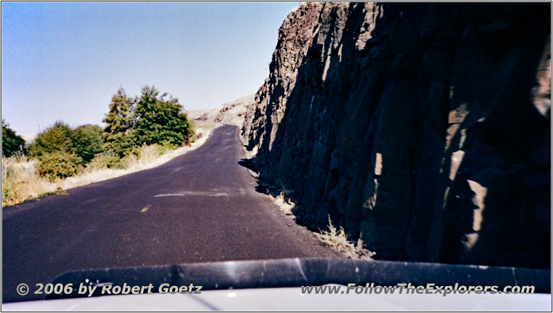
Rieth Rd, OR
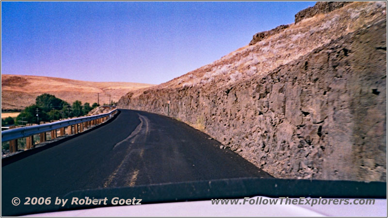
Rieth Rd, OR
This stretch has again a very beautiful landscape. The little road follows the course of the river pretty close and there are a lot of picturesque views of the landscape.
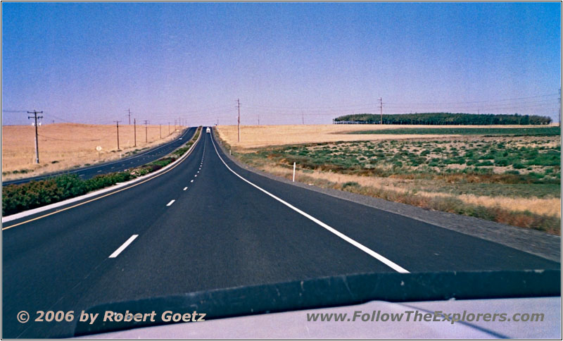
Umatilla-Stanfield Hwy/Highway 395, OR
At Stanfield I miss the correct exit to Umatille and I continue on a bigger highway to Hermiston. There I reach Highway 32 to Umatilla. But once again I miss the exit to the smaller backroads. After getting lost for a while, I finally reach my planned route. At Umatille I turn onto I 82.
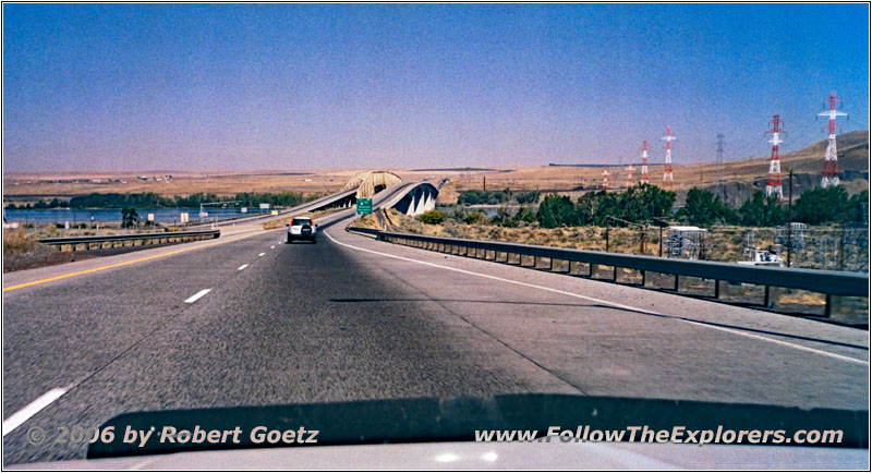
Highway 14, Columbia River, OR
On this Interstate I cross the mighty Columbia River and take Highway 14 West on the Washington side. There, memories from my trail of 1999 are coming back, where I also followed this highway. At that time I had not the slightest idea, how this journey would develop to!
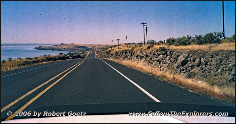
Highway 14, Columbia River, WA
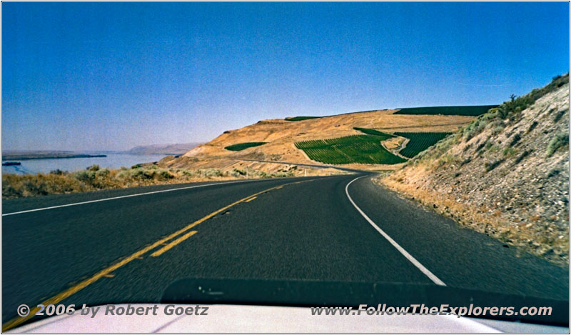
Highway 14, Columbia River, WA
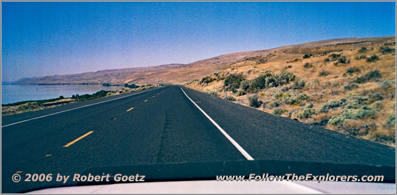
Highway 14, Columbia River, WA
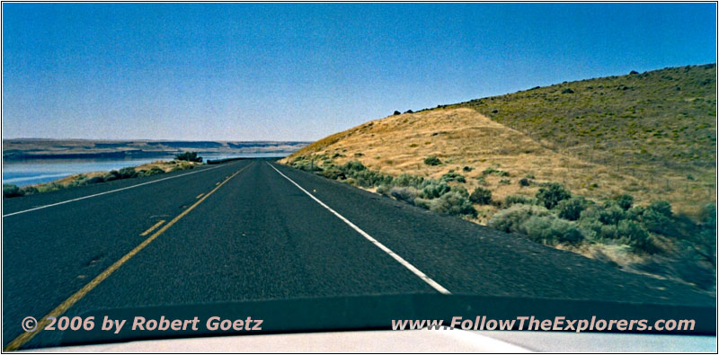
Highway 14, Columbia River, WA
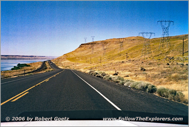
Highway 14, Columbia River, WA
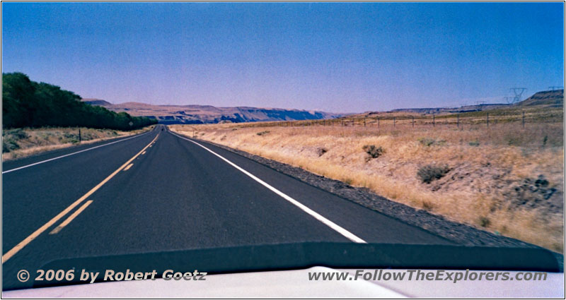
Highway 14, WA
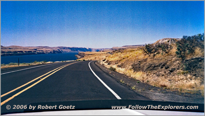
Highway 14, Columbia River, WA
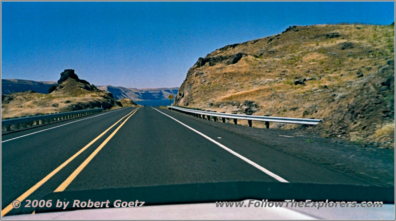
Highway 14, Columbia River, WA
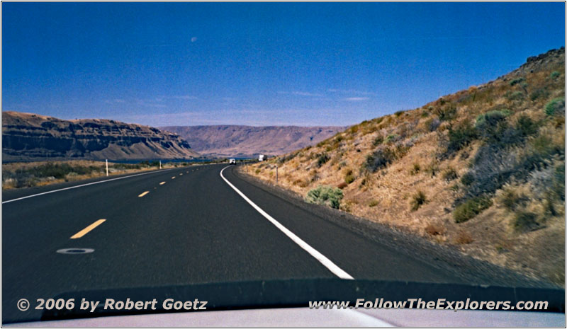
Highway 14, Columbia River, WA
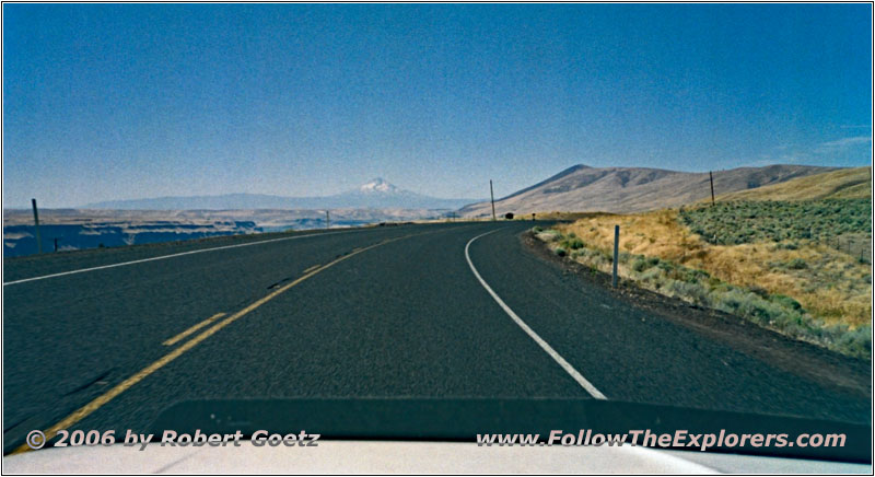
Highway 14, WA
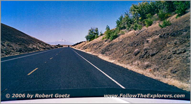
Highway 14, WA
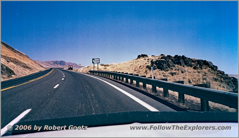
Highway 14, WA
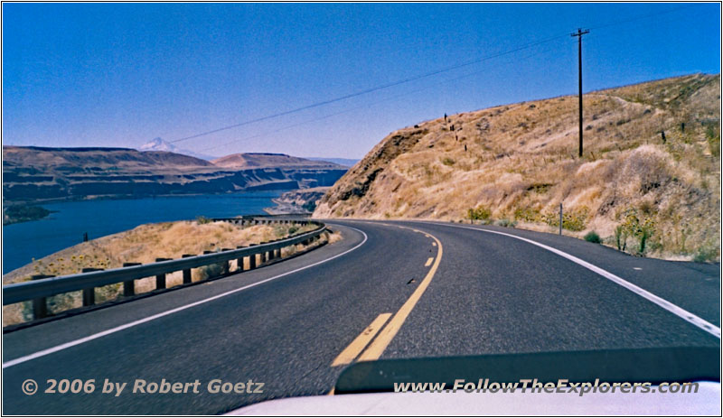
Highway 14, Columbia River, WA
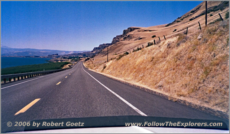
Highway 14, Columbia River, WA
Highway 14 is really well developed. So I make very good progress now.
Because I still do not have plenty of time, I skip the museum visit of the former Falls of the Columbia — which were also called Celilo Falls.
Again, I continue on Highway 14.
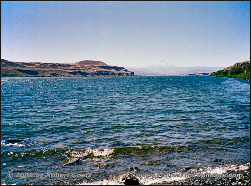
Avery Recreation Area, Columbia River, WA
Finally I reach the Avery Recreation Area, where I have a brief lunch break.
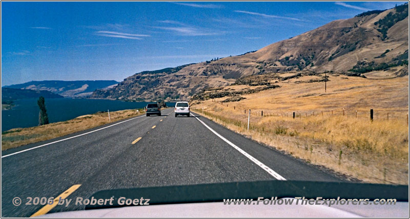
Highway 14, Columbia River, WA
On Highway 14 I continue through Lyle.
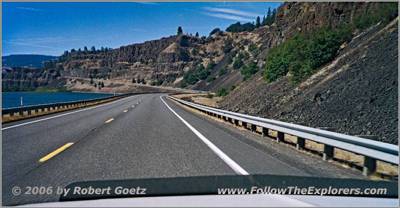
Highway 14, Columbia River, WA
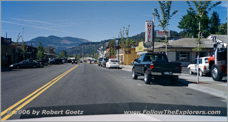
Highway 14, Bingen, WA
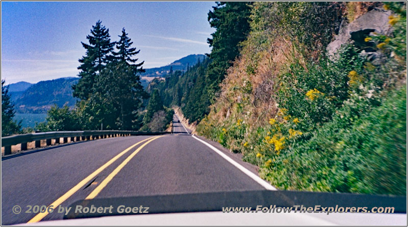
Highway 14, Columbia River, WA
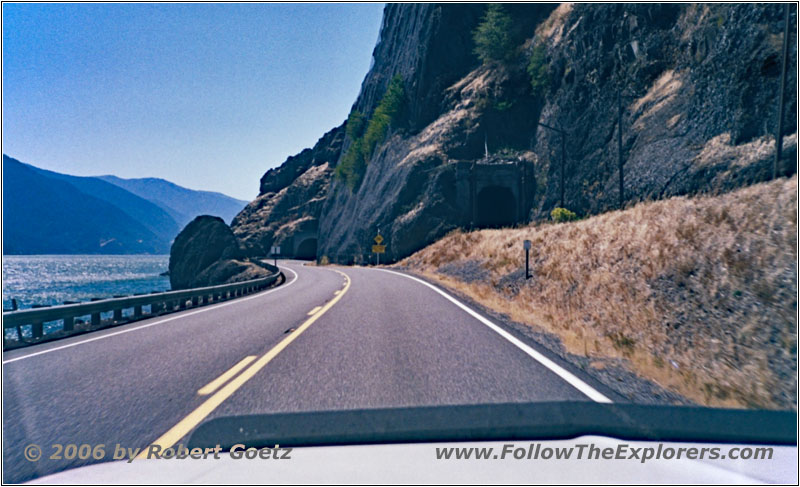
Highway 14, Columbia River, WA
Then I drive through Bingen.
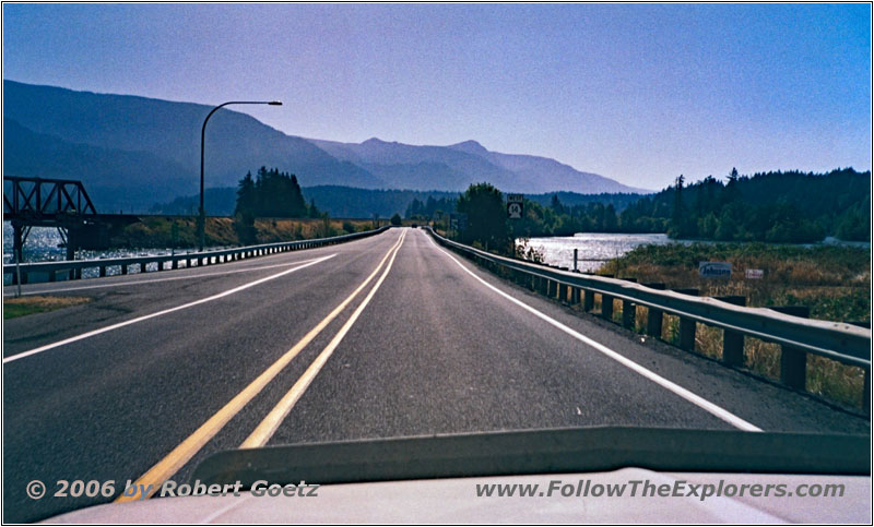
Highway 14, Columbia River, WA
And finally through Stevenson.
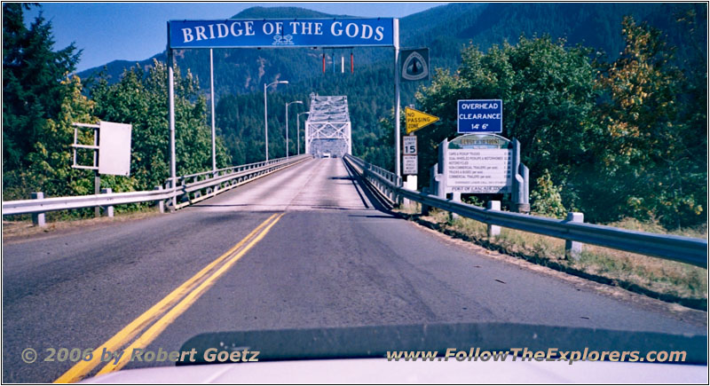
Bridge of the Gods, WA
Bridge of the Gods, OR
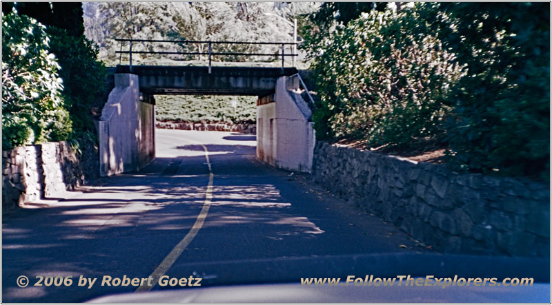
SW Portage Rd, Cascade Locks, OR
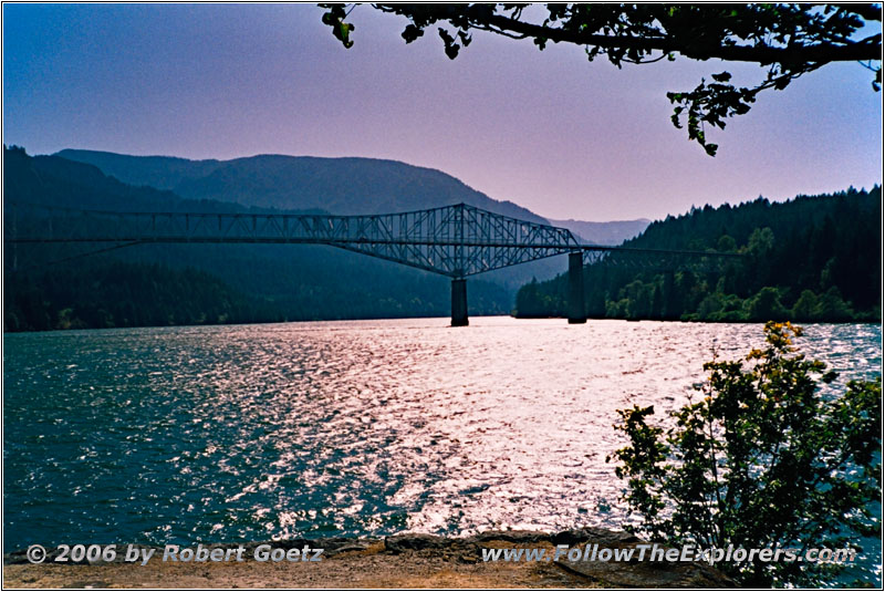
Then I reach the “The Bridge of the Gods”, which I cross and drive down to Cascade Locks. From there I video taped the bridge in 1999. At that time it was extremely windy and also today the wind is blowing heavily. But with the sun standing behind the bridge I get some really nice shots of the bridge. Then I walk back to my car and drive a short distance on I–84.
Historic Columbia River Hwy, OR
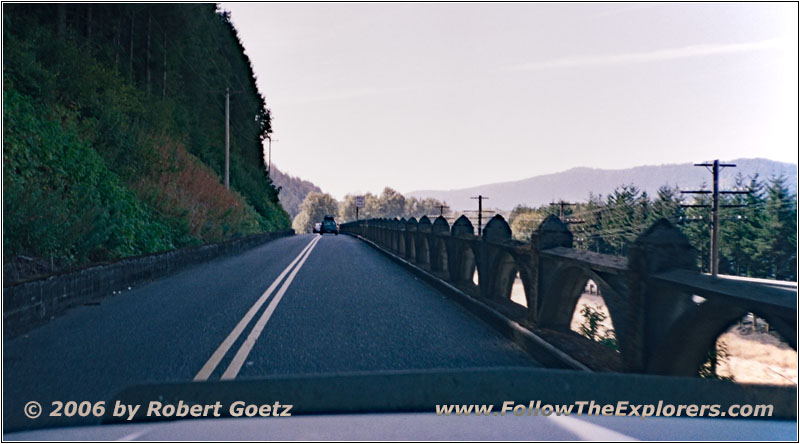
In 1999 I followed the old Highway 30, which is also called the Crown Point Highway or Historic Columbia River Hwy. This one takes you through a picturesque landscape of moss and green, passing countless waterfalls and an impression as if you are driving through a jungle. The wet Pacific air let the plants literally explode — and just 50 miles to the east you drive through a semi–aride landscape — absolutely unbelievable!
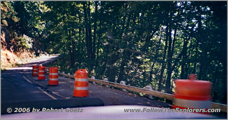
Also this time I really enjoy the ride through the forest. Unfortunately I don’t have the time for extensive hiking. My goal is to take some shots of the mighty Columbia River from the Crown Point State Scenic Corridor. But to my surprise, the road up this hill is closed. I have no other choice than to drive back to the Interstate and try my luck to get up the hill on the next exit. But also this exit is a dead end.
Crown Point State Scenic Corridor, Columbia River, OR
Crown Point State Scenic Corridor, Columbia River, OR
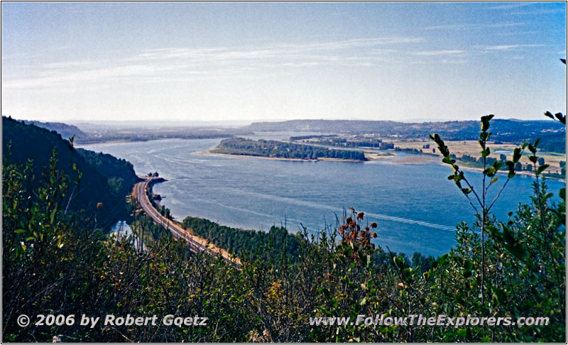
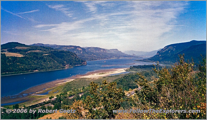
But at the next exit I reach the right highway. From this side I can reach the Crown Point State Scenic Corridor. Once again I get some breathtaking shots of this mighty Columbia River from the Vista House.
Historic Columbia River Hwy, OR
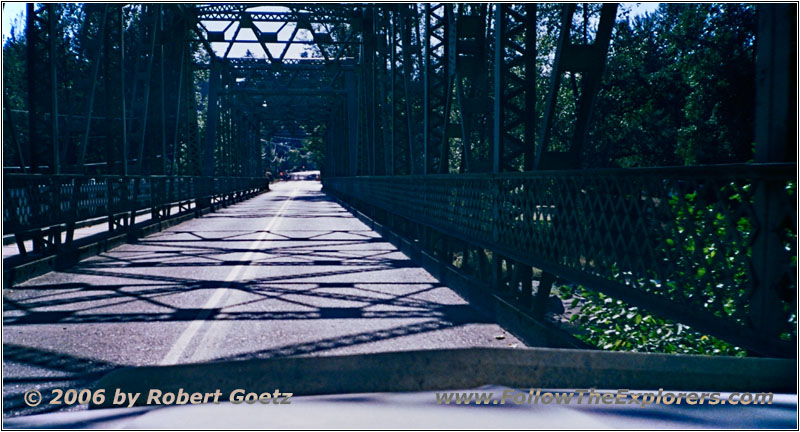
Historic Columbia River Hwy, Sandy River Bridge, OR
Then I drive down the hill to Troutdale. On all this chaos of small roads I get lost again. But finally I reach the correct road to Troutdale. After a little bit of searching around, I find again my Motel 6, which is located a bit difficult and well hidden.
Around a quarter to five I check in. Unfortunately there is no room free on first floor. I assume there are only double bed rooms. Also the guys at the reception are pretty sulky and impolite. You can tell that you have reached a tourist area…
I put my stuff together and when I arrive at my room, I have to kill two mosquitoes first. Lucky me, I have found all of them and I can now check my video taping peacefully. Unfortunately, the Interstate is pretty loud and from somewhere you can hear the television. Seems like this will be not a quiet night.
In the phone book I found an Outback Steakhouse. Around half past six I start my search. Unfortunately, the road was not shown on the phone book map. But I still have a rough idea where the restaurant should be. And after a little bit of searching around, I finally find it. Around a quarter past eight I pay and drive back to my motel. Because I know my way now, I can return without any bigger detours.
- Sights
- —
- General
- Breakfast: Shari’s, Pendleton
- Dinner: Outback Steakhouse, Troutdale
- Motel: Motel 6, Troutdale
- Distance: 256 miles
