Wilson Price Hunt Trail (‘Astorians’) 1811 — 1812
Day 32: September 13th, 2006 Troutdale — Seaside
Today is the last leg of my trail — after six years I am finally back at the Pacific Ocean. But first I need a breakfast after this horrible noisy night at my motel. Next to my motel is again a Shari’s. Because I have seen nothing else in this area yesterday, I will have my breakfast there. This time the coffee service is absolutely perfect. I pay and drive to the nearby Chevron. Because I do not plan to do further driving on gravel, I increase the tire pressure to 35psi — in the meantime the pressure was down to 32–33psi.
Around half past nine I depart. First I need a Wal–Mart to buy some video tapes. From yesterday I remember roughly, that there was one at the next Interstate exit. I take Exit 14 and find — nothing!
I circle around in this area for an eternity until I eventually drive back to the Interstate. Then I give it a try at the next exit. At Exit 16 is the Wal–Mart, I have seen yesterday! I buy again two video tapes and some bottled water. Around a quarter to eleven I am finally able to hit the road.
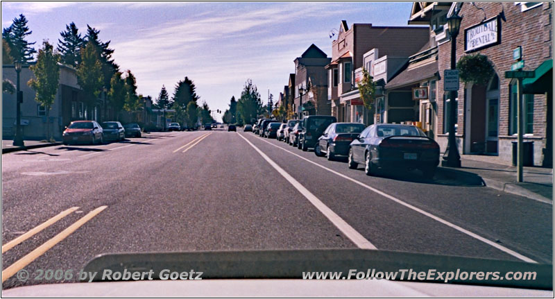
Historic Columbia River Hwy, Troutdale, OR
First I drive through the suburbs of Portland on Bypass 30.
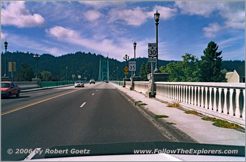
St. Johns Bridge, Byp30, Columbia River, St. John, OR
Finally I also drive on this highway through Portland and further on to the well developed Highway 30 to Astoria.
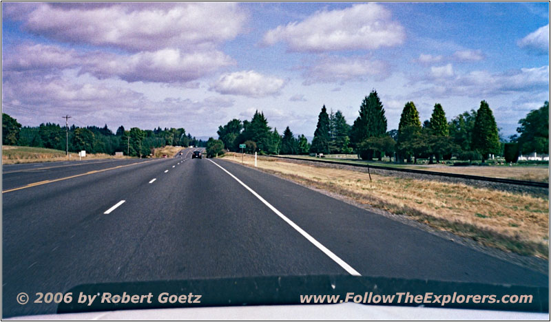
Highway 30, OR
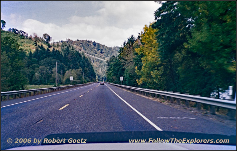
Highway 30, OR
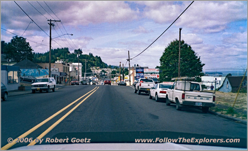
Highway 30, Rainier, OR
Unfortunately, we have mixed weather today and it is also pretty stormy. Into the bargain, my CB antenna is causing issues with the ground connection. That is definitely something I must rework next year!
But for now, I have no other choice than to disassemble everything and assemble all parts cleaned again, hoping, that everything will work by then. After half an hour, I have everything assembled together again and I seal the construction with my silicone. Lucky me, that I drive around with half of a repair shop in my trunk. I take some shots of Mount Hood from there, then I continue my traveling.
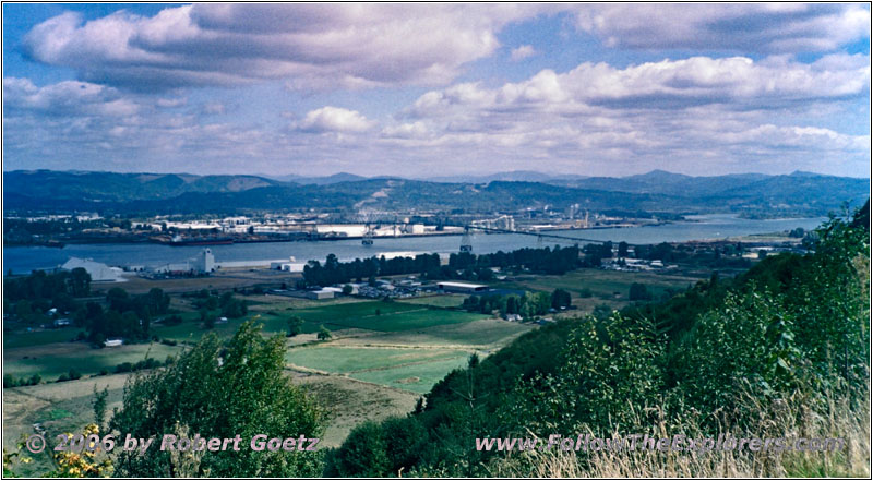
Highway 30, Columbia River, OR
I have my lunch break at a little park, which offers a nice view to the mighty Columbia River once again. Because the weather is not really nice, I am the only one around here. I take another picture before I depart.
Things have cooled down pretty much and I am really happy about the heating in my car. Unfortunately there is a lot of traffic on Highway 30, because the Interstate ends at the coast line of Portland. According to this, I make really good progress and I arrive at Astoria pretty close to my original planned time frame.
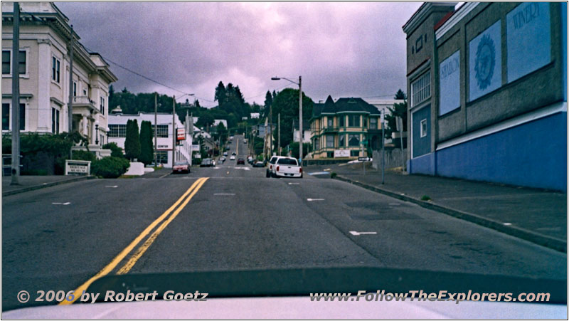
16th St, Astoria, OR
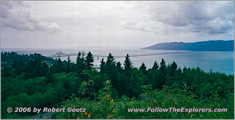
Astoria-Megler Bridge, Columbia River, OR

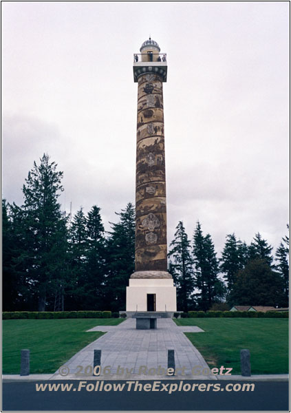
The Astoria Column, OR
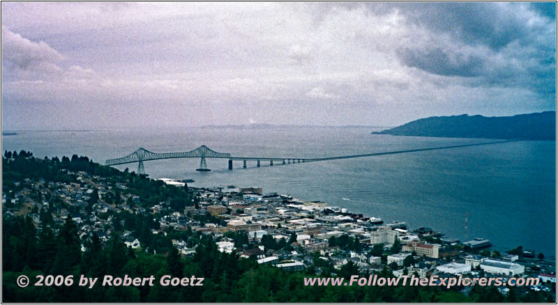
Astoria-Megler Bridge, Columbia River, OR
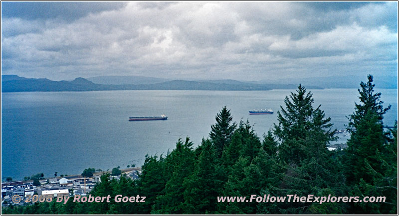
Columbia River, OR
The way to the Astoria Column was easy to find due to perfect placed signs along the road. Because the column is up on a small hill, it is extremely windy up there. First I walk over to the gift shop to buy a parking ticket. Then I take some pictures and do video taping from the ground level of the column and the surrounding area. Next I hike up the many stairs to the top of the column, loaded with my cameras and tripod. Up there on the platform the wind is almost unbearable. Unfortunately I have left my gloves in the car. But at least I wear my sweater. Anyways, I try to complete my picture and video taking as fast as possible to be back on the ground level soon. After being back I put my stuff into the car. Then I walk again over to the gift shop. All in all, I still need some picture postcards.
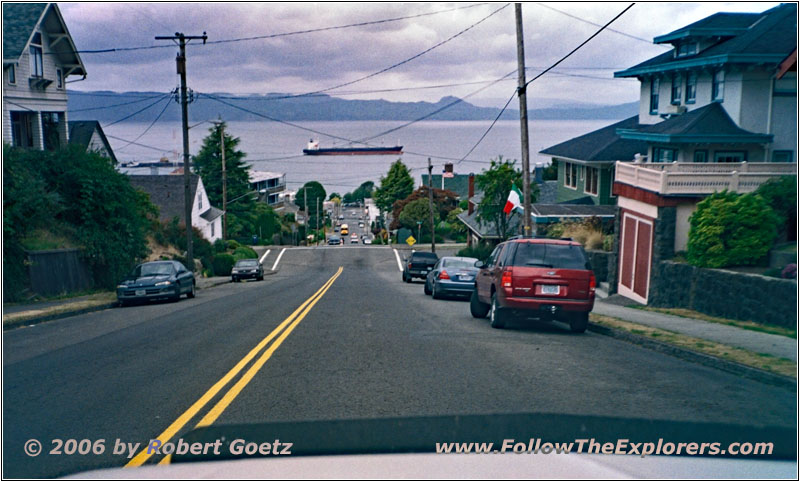
16th St, Astoria, OR

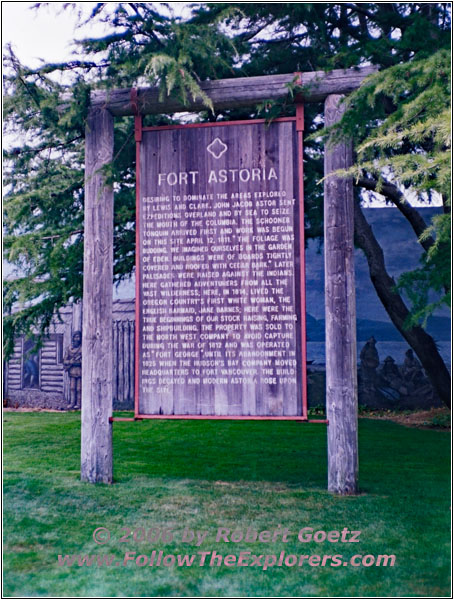
Fort Astoria, OR
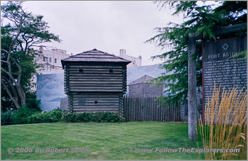
Fort Astoria, OR
Next I plan to visit the replica of old Fort Astoria. Unfortunately, this one has not really well placed signs like the column. Also my map does not really work out here. After traveling the main road two times with the chance of video taping the nice old town of Astoria, I finally find the correct roads. Now I can also take pictures of Fort Astoria and do my video taping.
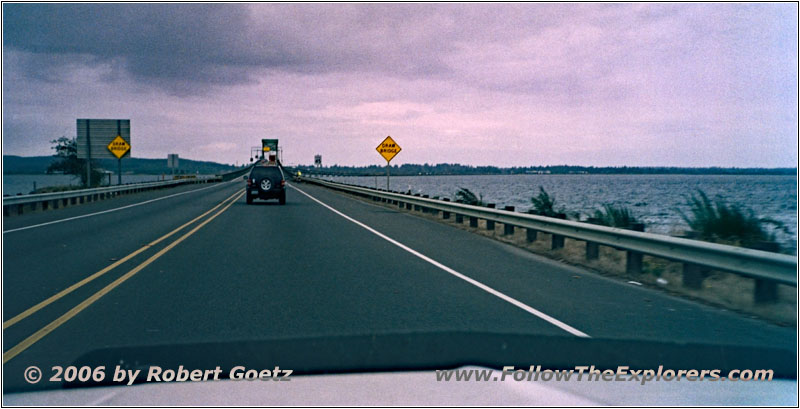
Oregon Coast Hwy/Highway 101, Youngs River, OR
Then I leave in direction of Seaside. There is also a lot of traffic on these roads.
But after some small traffic jams I finally arrive at my destination of today, the Motel 6 in Seaside. But to my surprise, the motel is already completely booked! There is only one luxury room left, which would cost $20 more!
In that case I will first give the motel next to it a try, the Microtel Inn. The biker, who has left the reception immediately after he heard the motel is booked, does the same. The Microtel Inn has many rooms left and I even receive a room on first floor. This one is even cheaper and much nicer than the one in the Motel 6. Because it is already pretty late and weather not really nice, I decide to skip the park visit. First, I will check my video taping of today and write my last post cards.
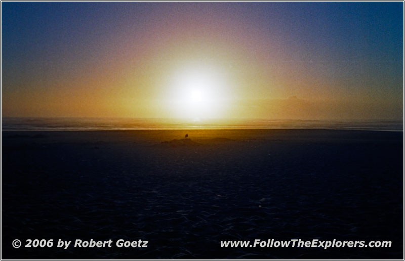
Tolovana Beach, Pacific Ocean, OR
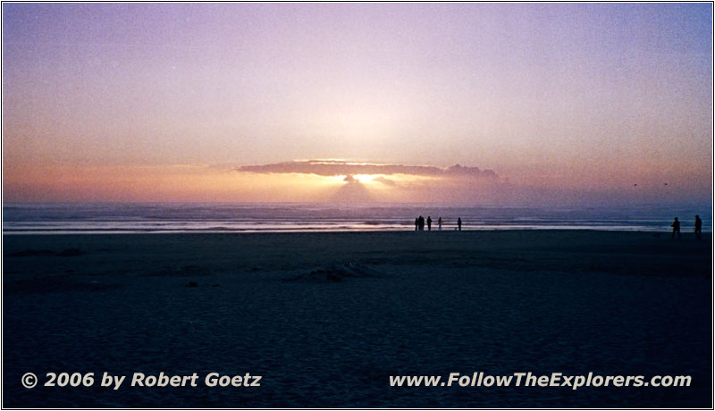
Tolovana Beach, Pacific Ocean, OR
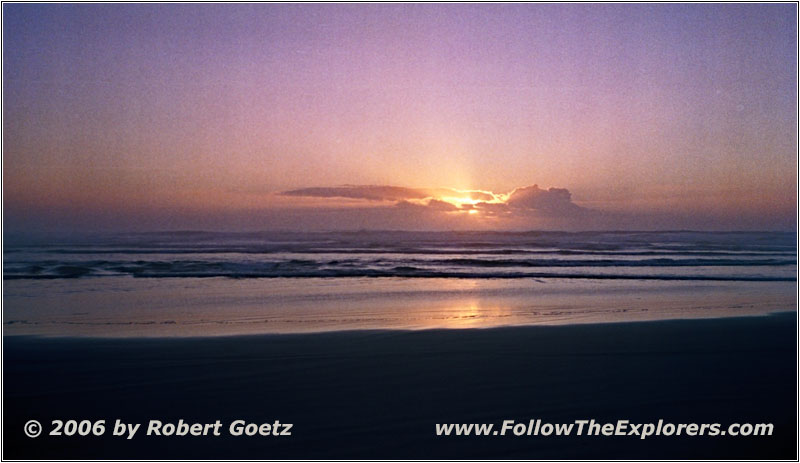
Tolovana Beach, Pacific Ocean, OR
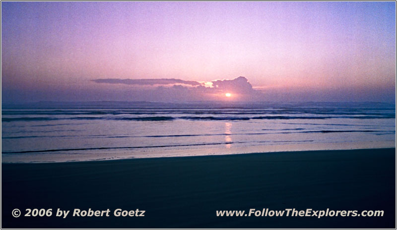
Tolovana Beach, Pacific Ocean, OR
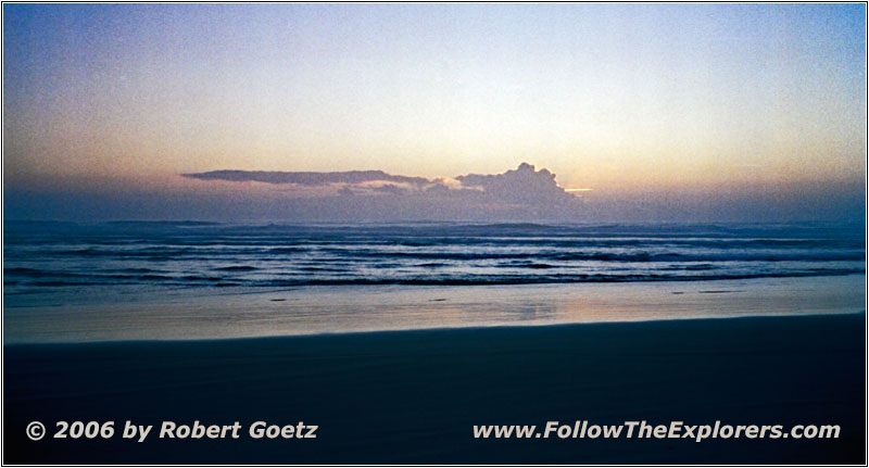
Tolovana Beach, Pacific Ocean, OR
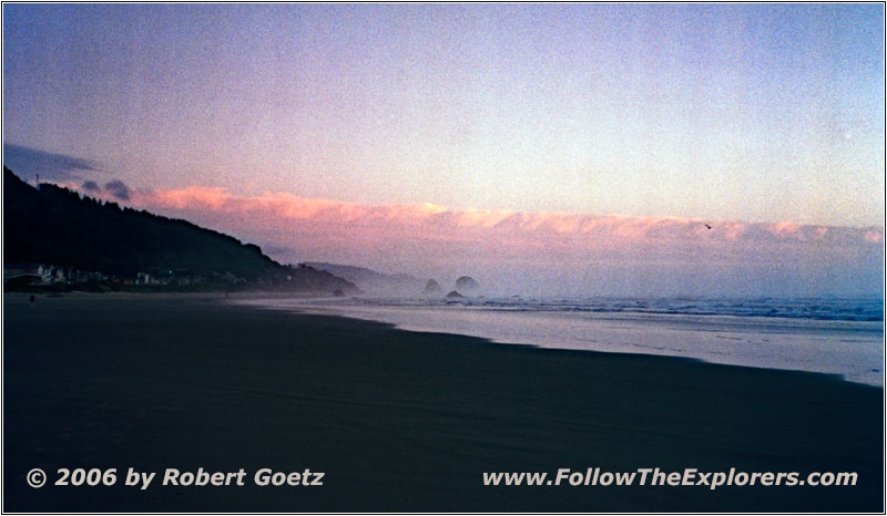
Tolovana Beach, Pacific Ocean, OR
Then it is time to leave for the sunset at the Pacific Ocean. I still remember roughly, where the beach was. After a little bit of searching around, I find again the very same spot where I video taped the sunset in 1999. Unfortunately, this time are a lot of people at the beach, who are walking through my video taping. Also the sunset is not as nice as back then, because the clouds are not distributed as nicely as they were in 1999. But I am still able to get some really nice shots before I drive back to my motel.
After arriving there, I put my camera stuff into the room. Then I walk over to the Bigfoot Restaurant next door. There I had dinner in 1999 and also met Raymund. Unfortunately I was not able to reach him by phone the last couple of days. Otherwise I would have tried to meet him again. As this is also the final dinner on my trail, I indulge myself with a filet. This is one is pretty expensive, but as final dinner it is okay. I also add a glass of red wine. Unfortunately the service is extremely slow. But the meal is really good!
The guy on the next table is sitting with the back to me. But I have the impression it could be Raymund’s son. Unfortunately he pays, before I have finished my dinner. So I have no chance to ask him.
Around a quarter to ten I pay and walk back to my motel. There I watch the rest of the sunset before I fall dog tired in my bed. Tomorrow will be the first leg of my approximately 2500 miles drive back to Pittsburgh. And the weather is not really promising…
- Sights
- The Astoria Column
- Fort Astoria Replica
- Sunset Tolovana Beach
- General
- Breakfast: Shari’s, Troutdale
- Dinner: Bigfoot Restaurant, Seaside
- Motel: Microtel Inn, Seaside
- Distance: 189 miles
