John Colter Trail 1807 — 1808
Day 9: August 22nd, 2005 St. Louis — Jefferson City
Due to the noisy Interstate I wake up around half past two, then again at half past six. Eventually I give up on the noise and get out of bed. So I am already around 8am at the Cracker Barrel for breakfast.
Around 9am I pay and drive over to the close Conoco gas station. As an exception I am lucky and find a cheap gas station this time. But also here they have no water to clean the windshield. This forces me to use my own window cleaner once again.
Around half past nine my this years trail really starts. First I take I–270 over the Mississippi River to the exit of Highway 3 North. My first destination is once again the Lewis & Clark Interpretative Center and Camp Wood. When I was here six years ago for the first time, there was a rondel at the river confluence, where you could read about the major steps of this expedition on big plates.
Today a gate locks me out to get there. But it is possible to get there by foot. I see a worker at the gate, who waits for someone to let him out again. He tells me that this rondel does no longer exist, even for a long period of time. The property, where the rondel was built on, slept into the river years ago. Instead there is only the main plate left which is now on a small meadow with three flags beside.
The park itself is only closed today, because the Interpretative Center is also closed. I say thank you for all this information and start my hike — which gives me the chance to test my new hiking shoes. They are really great. And after I have figured out the right tension for my shoestrings, they are absolutely comfortable.
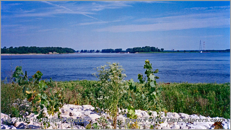
Camp Wood, Mississippi River, IL
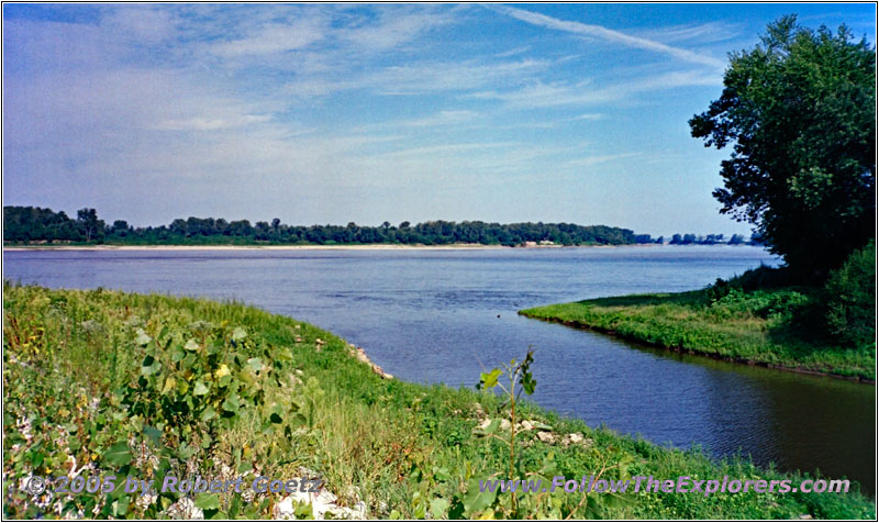
Camp Wood, Mississippi River, IL
When I reach the river confluence, I see the changes: All the parking lots at the side are gone. The area is now made bigger and the plate resides in the middle of this meadow together with the three flags. Unfortunately there are no flags on the poles today. At least I am able to take some pictures of The Mississippi and the Missouri River confluence, like back then. It is really a weird feeling to stay at the very same spot, where I have been six years ago…
Camp Wood, Mississippi River, IL
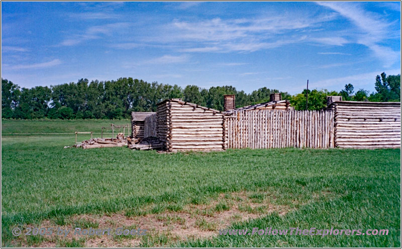
Then I walk back to my car and drive over to the Interpretative Center, which is closed today. But the replica of Camp Wood can also be seen from the outside. This gives me the chance to also take some pictures and video here.
Highway 67, Missouri River, IL
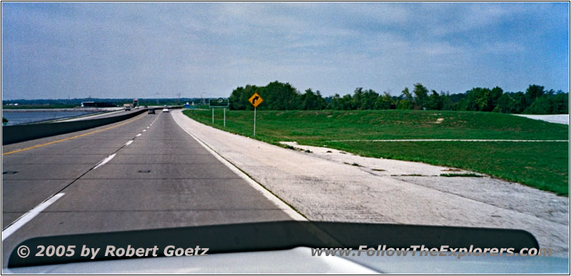
Highway 67, State Line IL and MO
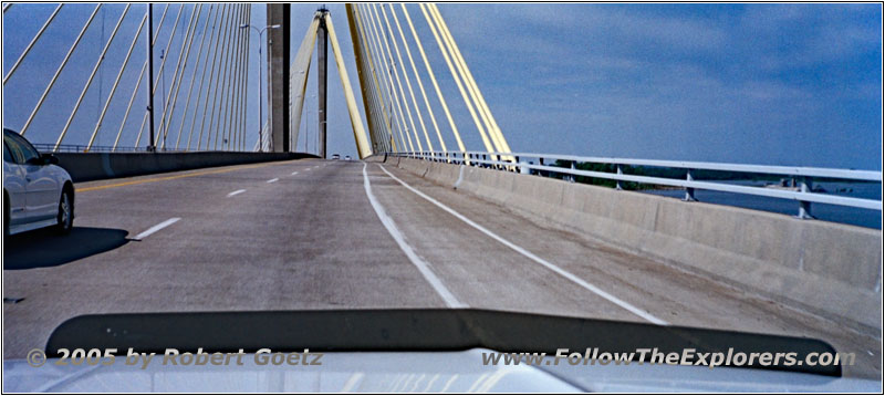
Now I am back on the road and follow the Mississippi River until I cross the river on Highway 67 and also the state line to Missouri. At West Alton I leave the bigger highway and take the smaller Highway 94 and some small County Roads.
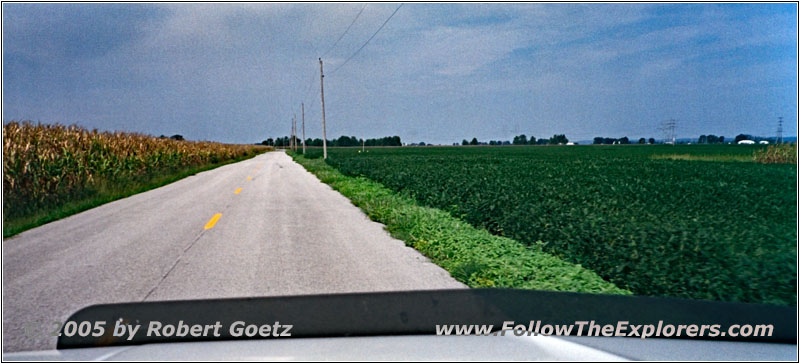
Dwiggins Rd, MO
Now I have the first chance to test my new tires on gravel roads. The feeling is, that they are a bit more soft in driving, but the driving comfort is way better. The rattling on the Interstate due to the long time standing with my old tires was already over.
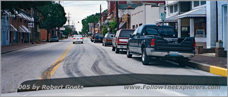
Highway 94, St. Charles, MO
On Highway 94 I drive through St. Charles and follow the Missouri River. The weather is absolutely great today. There is plenty of sunshine and temperatures in the mid 80s. Last year I drove partly the same roads, but in the pouring rain.

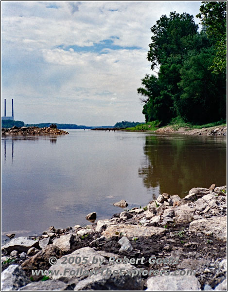
Klondike Park, Missouri River, MO
At Klondike Park I do a brief stop over to catch the views of the Missouri River.
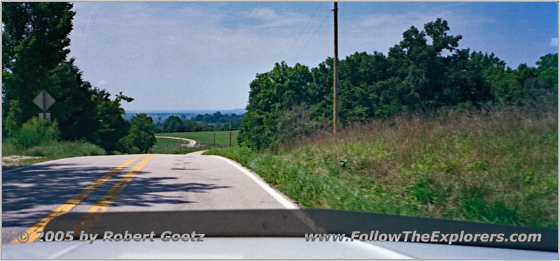
Highway 94, MO
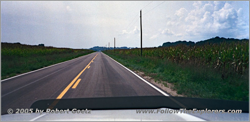
Highway 94, MO
In the meantime the hills along the river banks look very familiar. The landscape is really great. And the road takes you in many curves uphill and downhill along the Missouri River.
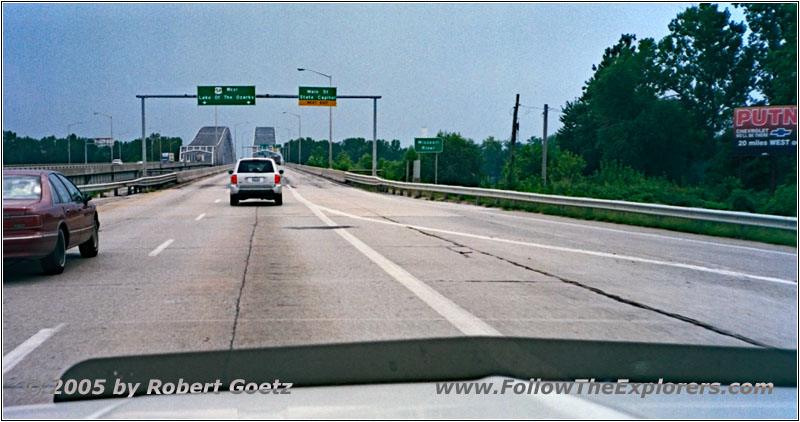
Highway 54, Missouri River, MO
Way too fast I reach Jefferson City and the Motel 6. I already check in just before 3pm. Because I still have plenty of time I drive over to the Chevrolet Dealer Riley as first thing. I want to check with the vacuum leak on my cruise control. Unfortunately this part is not serviceable and must be replaced as whole part. The price would be $330 plus tax! In that case even the salesman suggests to drive without cruise control.
I say thank you and drive back to my motel. Looks like I will unmount that part and take it back home to Germany to repair it myself. For an amount of $330 you can really invest some time and brain power…
Back in my motel I first check my video taping of today. Around a quarter past seven I drive over to Applebee’s for dinner. On my way I realize, that there is a Wal–Mart not too far away. Good to know for the next time I am here.
At the restaurant I receive a table without waiting and order again my Honey Grilled Chicken. When my server brings the dinner I miss, that I have no silverware. And when I realize it, she is already gone. But lucky me she looks in my direction after a couple of minutes and I can give her a sign. Immediately I receive some silverware, very much to the exhilaration of the couple at the next table, who watched me sitting in front of my plate without silverware. But beside this, the service is really great.
Just past eight I pay and drive back to my motel. In the meantime it has started to rain a little bit. But lucky me, right now everything is already over.
- Sights
- Camp Wood
- Lewis & Clark Interpretative Center
- General
- Breakfast: Cracker Barrel, St. Louis
- Dinner: Applebee’s, Jefferson City
- Motel: Motel 6, Jefferson City
- Distance: 223 miles
