Zebulon Montgomery Pike Trail to Red River, Mexico Journey 1807
Day 18: October 15th, 2003 Las Cruces (White Sands)
I found a Cracker Barrel in the phone book. But the search for it was getting way more complicated than expected. Eventually I find the restaurant. At half past eight I leave the restaurant and start my journey,
First, I still need a Wal–Mart to get some patches for my tire. With that opportunity I also buy some drinking water, which is almost empty. Then I drive over to the next gas station.
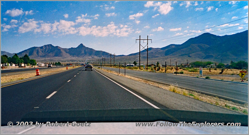
Highway 70, Las Cruces, NM
At a quarter past nine I am eventually on the highway. Highway 70 takes me through the Organ Mountains and is almost build up like an Interstate. Only the area past Las Cruces is a road construction. To check for traffic speed, a radar speed measurement has been set up. To my surprise the display shows more than 45mph when I was only going 40mph according to my speedometer!
I already had the impression for a while, that the speedometer shows too less speed. But now I have the evidence! It looks like the needle has not recovered after all these couple of hundred miles up and down. Also the needle is still more jumpy than in the past. I try it now with my cruise control, which was extremely unimpressed from my jumping needle in the past. But this time my cruise control really tries to adjust to my jumping needle. This will not be fun when driving back home. Looks like I have to make a stop over at a Chevy dealer at the next bigger city.
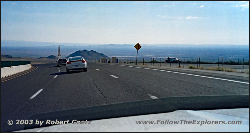
Highway 70, San Augustin Pass, NM
But for now I drive to the White Sands — without cruise control. Once you have passed the San Augustin Pass you reach a big plane. It is again pretty misty, so you cannot see too far.
The road runs down the mountain and then almost 50 miles further on. You are here in a military area. Just before the entrance to White Sands is a military check point, which closes the whole highway. The soldier asks me, if I am US Citizen — but more in a rhetorical manner. He is obviously surprised when I tell him, that I am German. Therefore he must take a look at my passport. Then I am allowed to pass the check point and turn onto the road to White Sands.
The Visitor Center is immediately to the right. There is a small exhibition of the history and an introduction movie about this area. The movie will start in ten minutes, which gives me just enough time to see the exhibition and for a stop at the restroom.
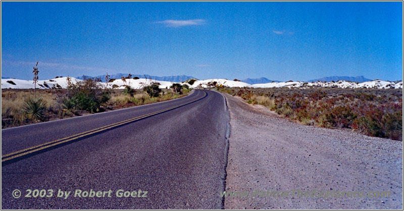
Dunes Drive, White Sands, NM
After the movie I drive into the White Sands. The entrance fee of three Dollars is charged here and is absolutely fair for this park. Along the road are signs and markers which tell you a lot about the park history. The White Sands are the biggest natural above ground gypsum deposits worldwide. This gypsum are remnants of an ancient lake, which evaporated. There are no river outlets from this valley, who would take the rain water out. The only exit for water is to evaporate.
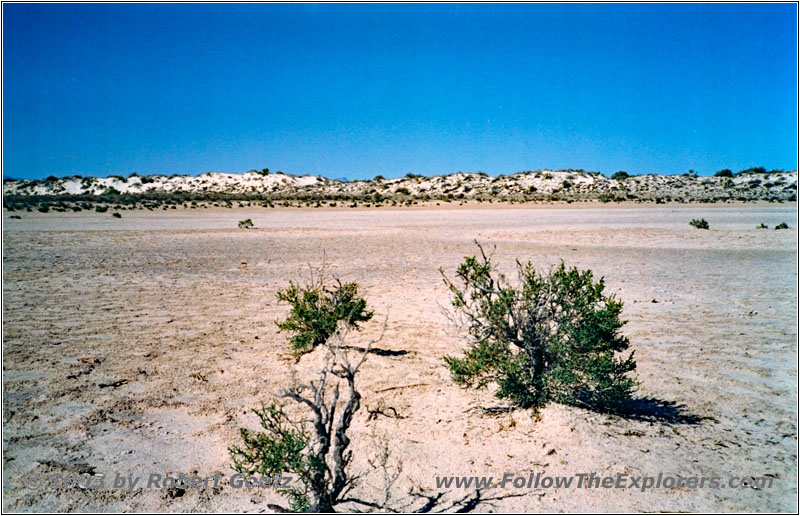
Playa Trail, White Sands, NM
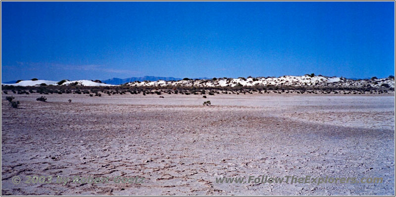
Playa Trail, White Sands, NM
Therefore the first hiking trail, the Playa Trail, leads to a dried–up lake, where you see all the small crystals. Then the first gypsum hills start, who absolutely look like sand — just spotless white!
Big Dune Native Trail, White Sands, NM
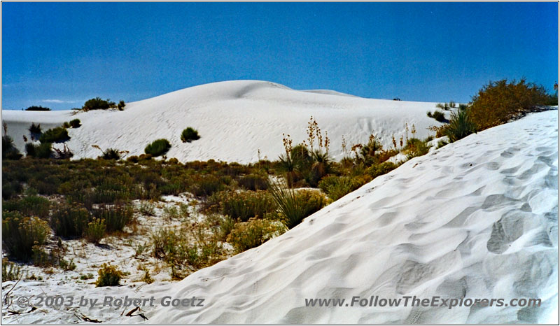
Big Dune Native Trail, White Sands, NM
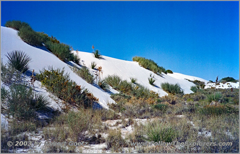
Big Dune Native Trail, White Sands, NM
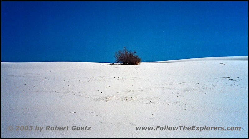
Big Dune Native Trail, White Sands, NM
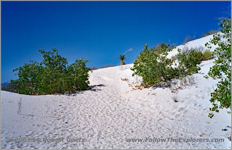
Big Dune Native Trail, White Sands, NM
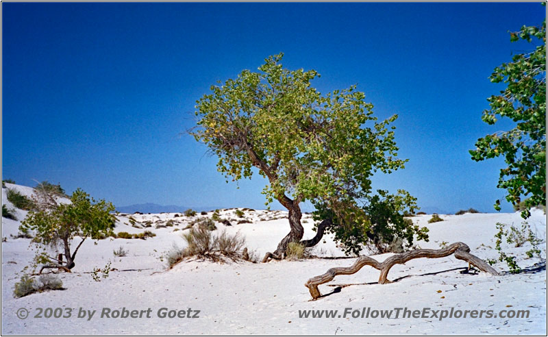
Big Dune Native Trail, White Sands, NM
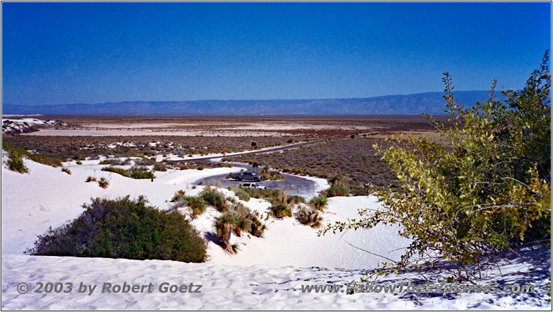
Big Dune Native Trail, White Sands, NM
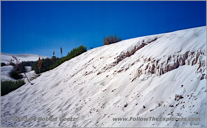
At the foot of the hills starts the “Big Dune Native Trail”. The trail first runs alongside these hills and eventually climbs up the first hill. The ascent already feels like being in sand. You make two steps forward and slide one step back again. Lucky me it’s only a couple of ten feet up before the trail runs pretty level again.
You pass bizarre dried roots of old yucca palms. These palms were able to grow fast enough, when the dunes were rolling over them. But once the dune continued, the palm collapsed due to their own weight and died. Other palms were able to hold the gypsum together by their roots. After the dune pushed along, a hard little hill remained, penetrated by bushes.
All in all a very impressive landscape. After this little roundtrip hiking trail I have a brief lunch stop at the parking lot. Then I drive on. The next hiking trail is wheel chair accessible. The trail was build with timber planks in the gypsum hills. There are also many interpretative signs along the way. This trail is much more crowded, because it is not strenuous.
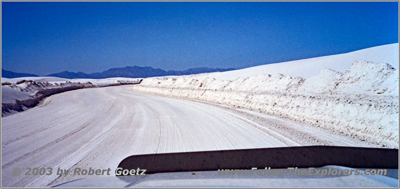
Loop Drive, White Sands, NM
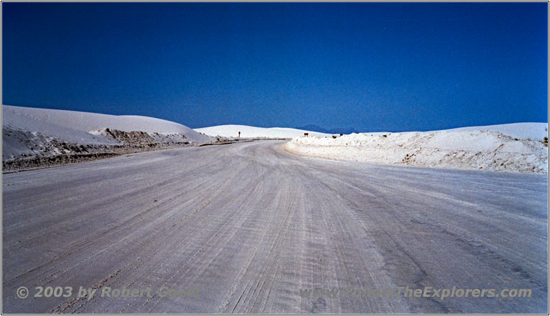
Loop Drive, White Sands, NM
I omit taking pictures or videos here, because I already had much nicer views on my previous trail. So I continue my drive to the “Loop Drive” at the end of this park road. At the point where this drive starts is a small house, which was once a restroom. This had been reworked by a dedicated girl and is now an Interpretative Center for animals. The ranger there tells me, that the girl picked up all the dead animals from the park roads and stuffed them. It’s amazing, how many animals have been killed on these roads.
The ranger has German ancestors. I already thought this, when I heard his last name is “Stumpf”. But his history is even more impressive: His great–grandfather arrived in the US together with the founder of the Budweiser beer. But his great–grandfather wanted to be farmer. So he declined the offer to build something up together. He just stayed in the business as long until he had enough money together to buy a small farm. If he would have known at that time, which great chance he had been giving up. But his dream was to be farmer…
We talk almost for an hour, before I continue my journey. After all I want to hike the Alkali Flat Trail, which is the longest trail in the park. It starts at the very end of Loop Drive. At the beginning is a book, where you should register yourself. In the evening, the rangers will check the list and see, if someone is still missing in the desert.
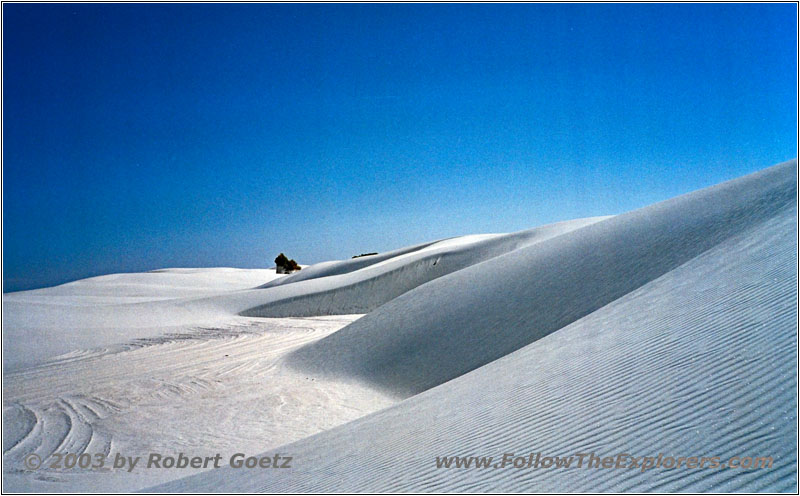
Alkali Flat Trail, White Sands, NM
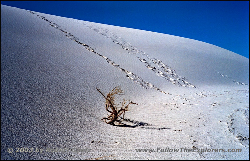
Alkali Flat Trail, White Sands, NM
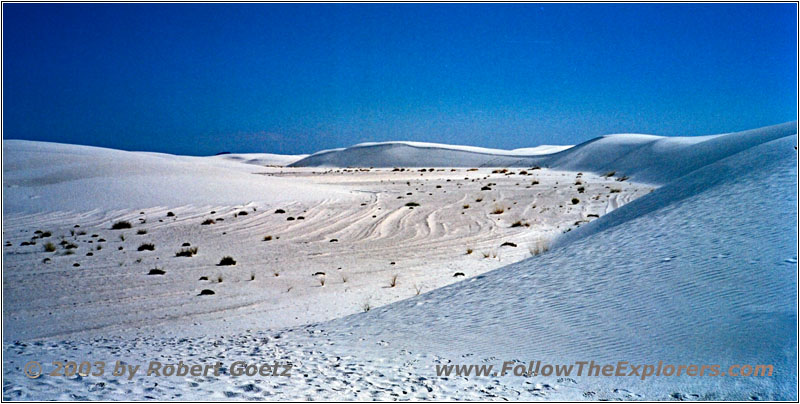
Alkali Flat Trail, White Sands, NM
The trail itself is almost 5 miles long. Due to the heat it should not be underestimated. I take one liter of bottled water with me and hope, this will be enough. First the trail runs along the foot of the dunes. After a few turns, a young lady comes along the way. It seems, that this is the woman, who was in the book ahead of me. She already hiked for a mile, but then she ran out of water. She also only had one liter with her. Hopefully I am better in rationing my water along the way. But I am in advantage with the time of day. She started around 1pm. Now it is almost 2:30pm. I just have to be careful not to run into the night and darkness.
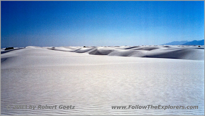
Alkali Flat Trail, White Sands, NM
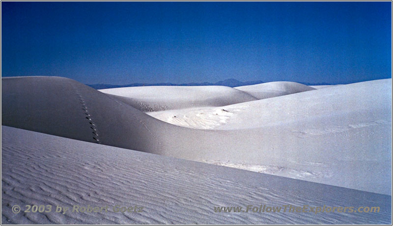
Alkali Flat Trail, White Sands, NM
We say good–bye and I hike on. The sun burns down without mercy. Now I get an impression how someone must feel, when running through the desert. Lucky me I put plenty of sunscreen on. Otherwise I would receive a very bad sunburn on my hike.
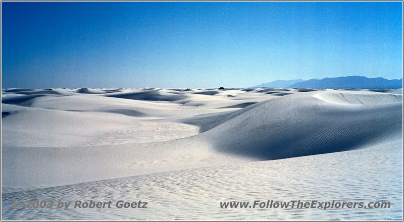
Alkali Flat Trail, White Sands, NM

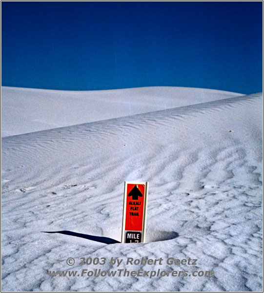
Alkali Flat Trail, White Sands, NM
The trail continues in dune valleys and then up the dunes itself. I see many bizarre forms of dried out and still living plants. Eventually I am back in the open plane. The mountains, which separate me from the Rio Grande, lay in front of me. In between is the military area. It’s already way past 4pm and I am getting afraid of running late.
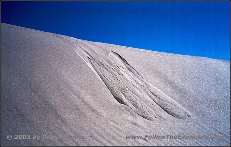
Alkali Flat Trail, White Sands, NM
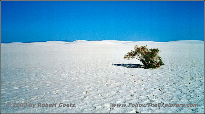
Alkali Flat Trail, White Sands, NM
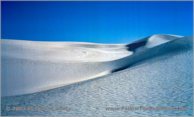
Alkali Flat Trail, White Sands, NM
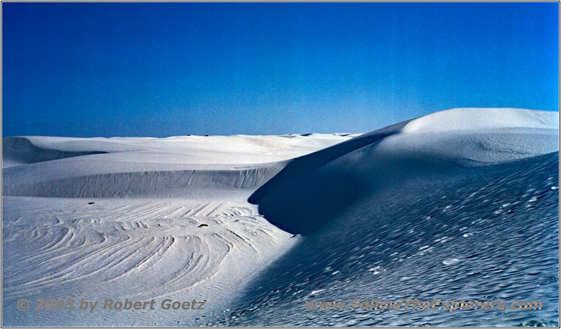
Alkali Flat Trail, White Sands, NM
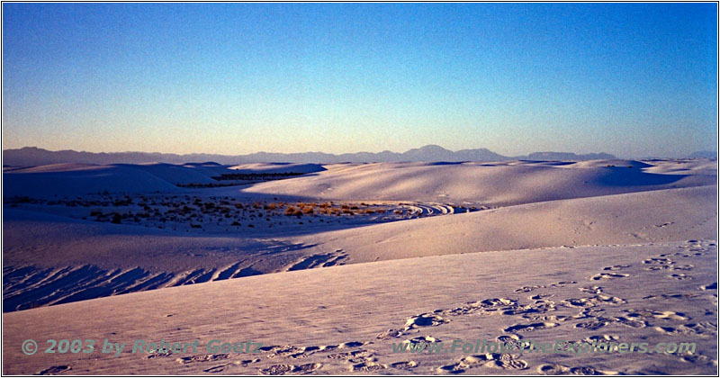
I rationed my water pretty well. Just half the water is drunk on half of my way. The return path is on a different trail to complete a nice roundtrip over the dunes. The sun is way lower in the meantime and give some great light and shadow play of the dunes. This gives way better depth feeling of the dunes as at the beginning of my hike. At that time, the sun was almost straight up and gave almost no shadows.
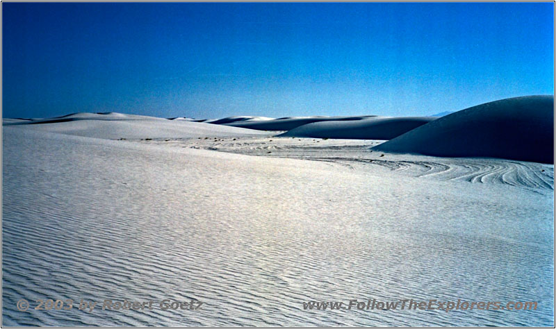
Alkali Flat Trail, White Sands, NM
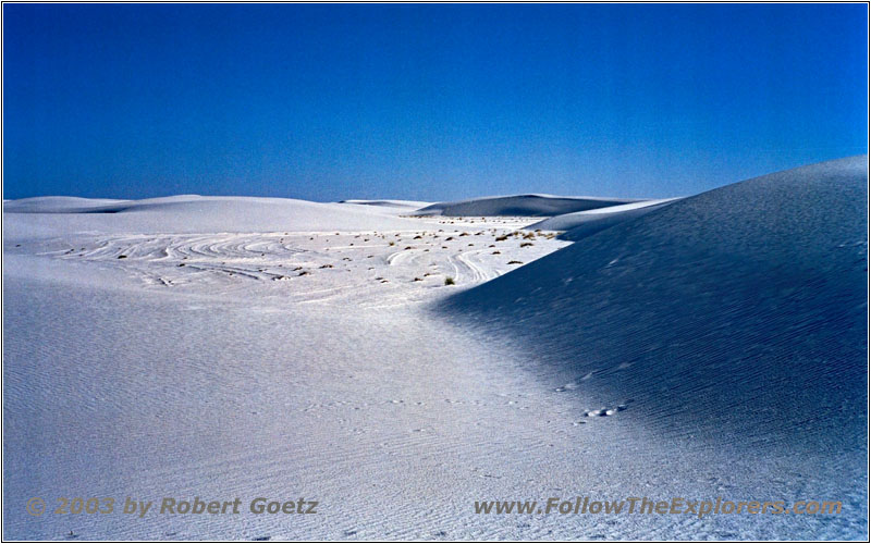
Alkali Flat Trail, White Sands, NM
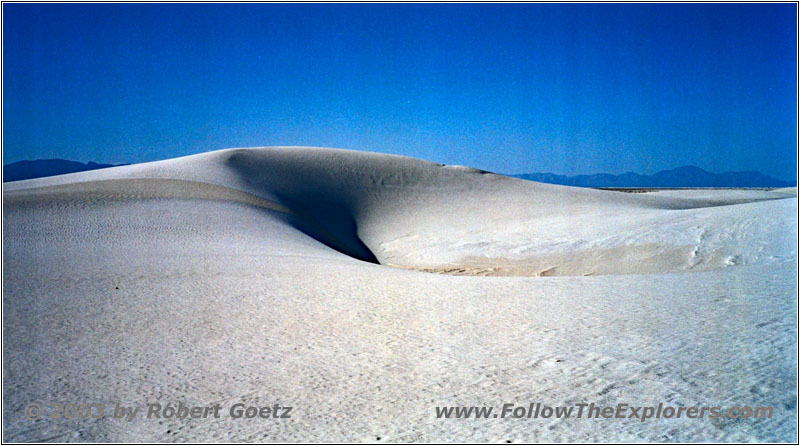
Alkali Flat Trail, White Sands, NM
Slowly I am getting exhausted. Hiking in the sand, where you often sink deeper than your ankles, is extremely strenuous. Adding the heat and the low amount of water, this is really challenging. But around half past five the parking lot is in sight. Now it’s only a couple of minutes until I reach my car again.
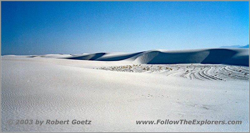
Alkali Flat Trail, White Sands, NM
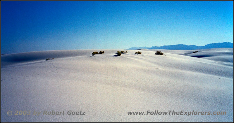
Alkali Flat Trail, White Sands, NM
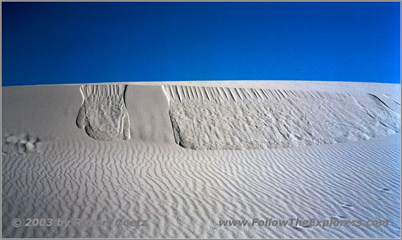
Alkali Flat Trail, White Sands, NM
After I arrive, I immediately drink almost one bottle of Gatorade without a stop. Not till then I take my camera from the tripod. In the meantime it is almost 6pm and I think to myself, that I can now wait this half an hour until sunset. Maybe I will have the chance to take some nice sunset pictures.
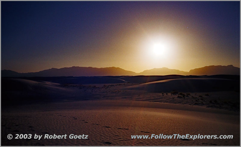
Sunset Alkali Flat Trail, White Sands, NM
Sunset Alkali Flat Trail, White Sands, NM
Sunset Alkali Flat Trail, White Sands, NM
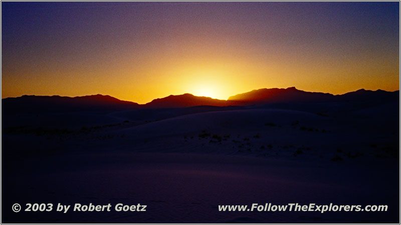
Sunset Alkali Flat Trail, White Sands, NM
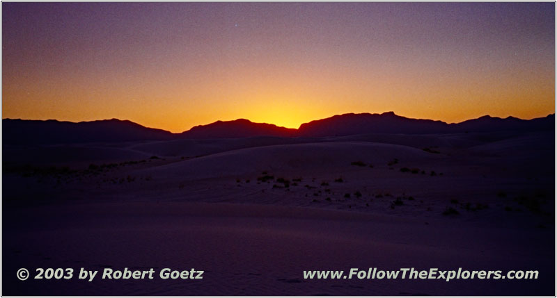
Sunset Alkali Flat Trail, White Sands, NM
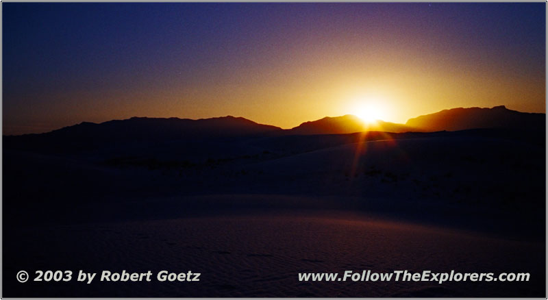
I look for a decent hill, not too far from the parking lot. Then I have to wait. Finally the sunset starts with a light breeze and way lower temperatures. But I get rewarded by a few very nice shots. When the sun is finally gone I hurry up to get back to my car. After all it has cooled down extremely.
When I arrive, I take off the camera and mount it on my car pod and start my way back out of the park. Originally I planned to get some postcards at the Visitor Center on my way out. But at this time, I am sure, they are already closed. I have never thought that I will spend this much time in the park. But it was definitely worth it!
I am driving back to my Motel 6 in Las Cruces in the dark night. Then I drive over to the Outback Steakhouse for dinner. Today I also have my 12 ounce Outback Special, as usual — even when I am already dog–tired. At a quarter to ten I drive back to my motel and only fall into my bed…
- Sights
- White Sands National Park (Fee $3)
- General
- Breakfast: Cracker Barrel, Las Cruces
- Dinner: Outback Steakhouse, Las Cruces
- Motel: Motel 6, Las Cruces
- Distance: 125 miles
